
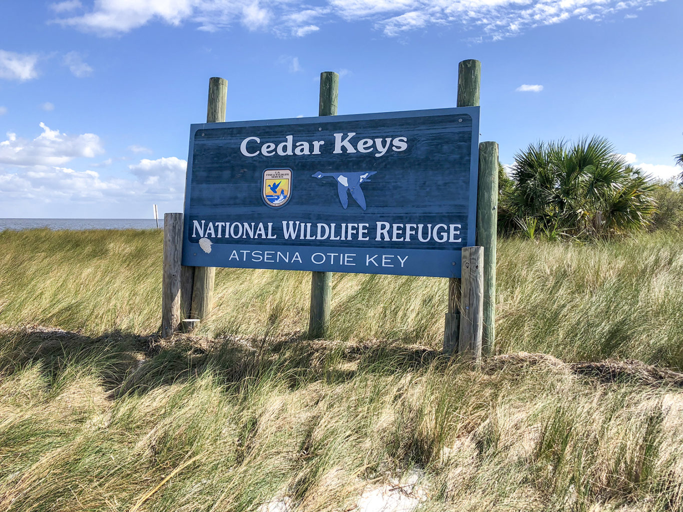
The Notes:
My original post for Atsena Otie Key was back in November 2017 and contains detailed information about the key that can be viewed here…
Back to the Island:
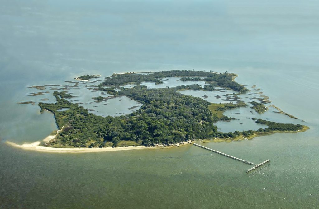
With summer winding down it was time to revisit Atsena Otie Key. This is always a fun adventure and today’s trip with the Boll Green Aquaholics made for a great time!
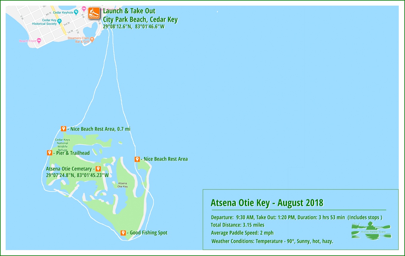
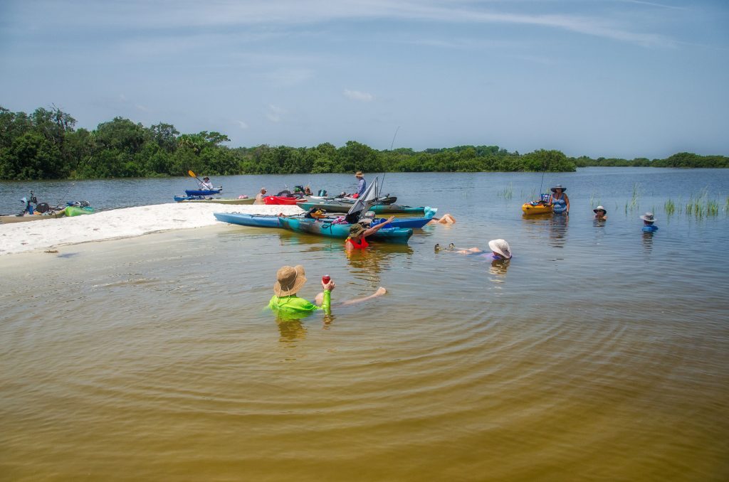
We got an early start, launching from City Park Beach. There were plenty of parking spots right there at the park, so unloading was quite easy and convenient. With a group of 14, we got on the water at 9:30 am and headed across the 0.7 mile channel to Atsena Otie Key. This first leg only took 17 minutes and the current was not bad, with some small chop.
Having all arrived we cooled off in the water and re-grouped for the days adventures. Many of us brought along chairs and fishing equipment to relax on the beach and hopefully catch dinner. There was also a planned excursion to the Atsena Otie Key Cemetery!
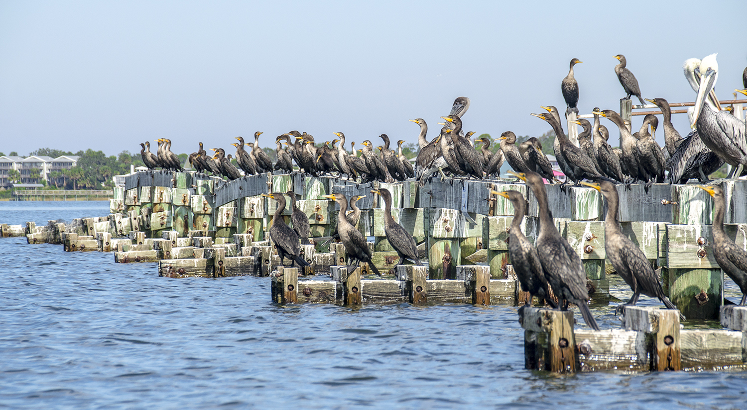
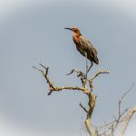
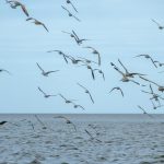
Birds of a feather…

Our paddle began navigating the western shoreline of the key. Here, a little over half way down the beach is the remnants of the old wharf. Destroyed by hurricanes and abandoned, this pier juts out into the water for over 500′ with a 200′ ‘T’ and the end. The pier serves as the roost for hundreds of sea birds that include pelicans, gulls and Cormorants. It a great place to get some unique photographs. Watch the tide paddling around the pier and not getting too close the the oyster beds. Several of these are marked well.
Once past the pier it is roughly 800′ to the Southwest corner of the key. It is here that the open gulf greets you. Further out, past Atsena Otie Key are several other keys, Grassy Key, Seahorse Key, Deadman’s Key, North Key and Snake Key.
Time for fishing and exploration of Atsena Otie Key…
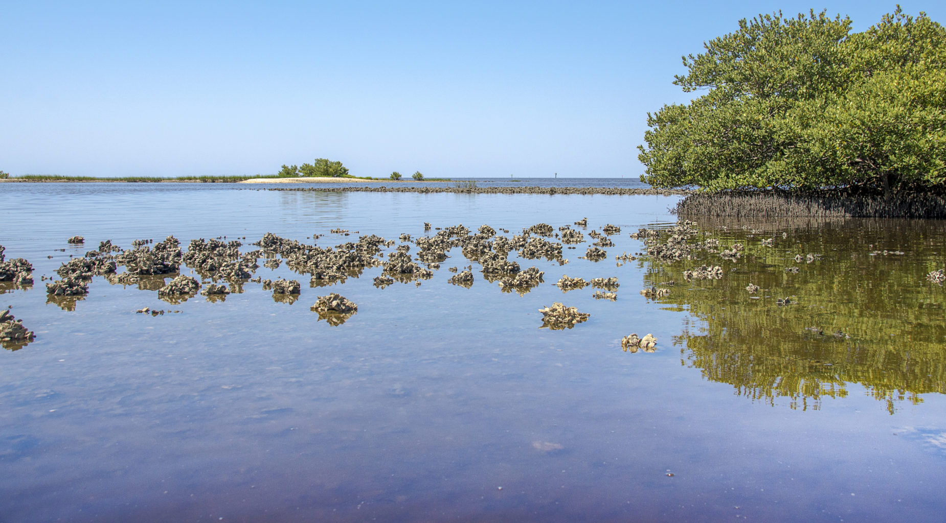
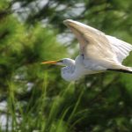
The Southwesterly shoreline of Atsena Otie is a little over a half mile long. It is along this coast that offers entrance into the interior of the key, provided the tide is right. During low tide, oyster beds are openly seen and the water is very shallow. I have seen a fellow paddler run onto an oyster bed, cut through the bottom of the kayak, tipping him ( see photo here ) and rendering the kayak useless. The combination of the two creates limitations on the amount of exploration that can be done and virtually prohibits being able to paddle to the interior. High tide is another story. During hide tide the interior is very much accessible and is a real treat to be able to explore the key from the middle. Here you can see numerous birds that include, Osprey, Eagles, Herons and Egrets.
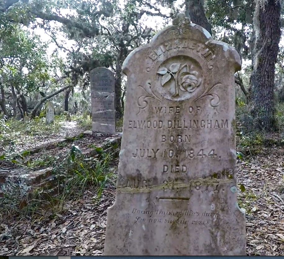
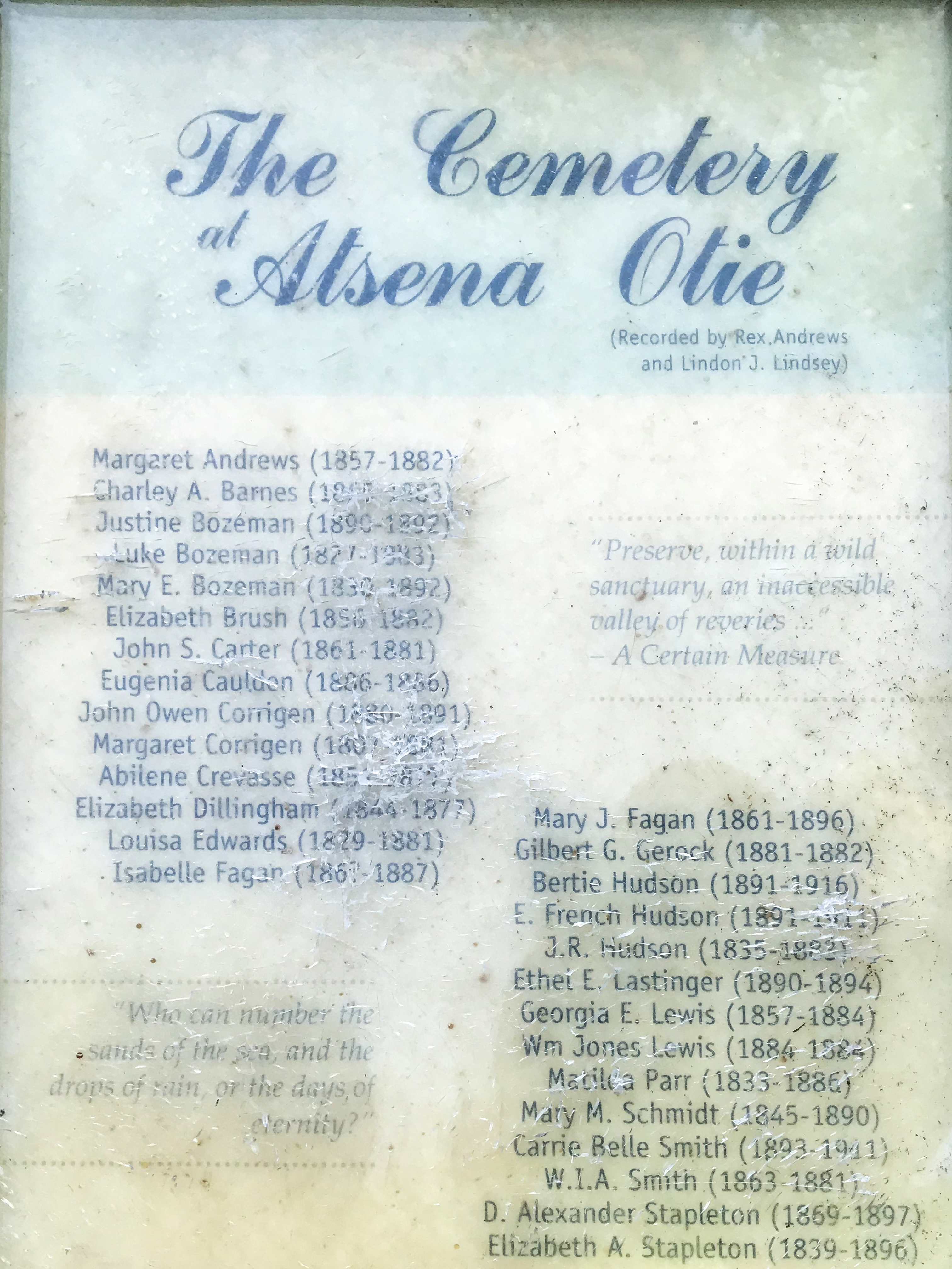
The Atsena Otie Cemetery can actually be accessed from the interior marsh during higher tides. The main access to the cemetery is about 400′ south of the NW corner of the key. Signs mark the trail entrance. A marked trail leads almost 1800′ into the key, to the cemetery where several old graves can be seen. This cemetery has graves from those who inhabited the Key in the 1800’s when it was a thriving community. A plaque at the cemetery list many of the family members buried in the cemetery as early as 1827.
When deciding to take this trail, be prepared for mosquitoes, they are quite prevalent along this trail! A nice short video of this trail can be watched at Florida nature Coast.
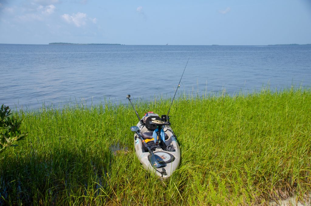
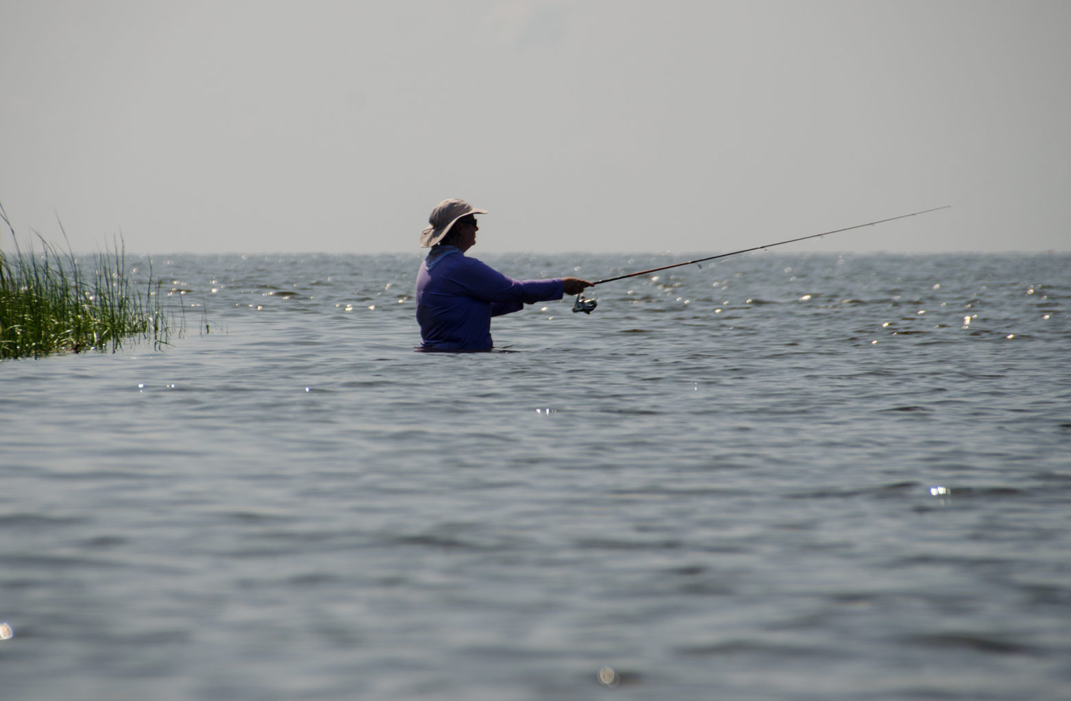
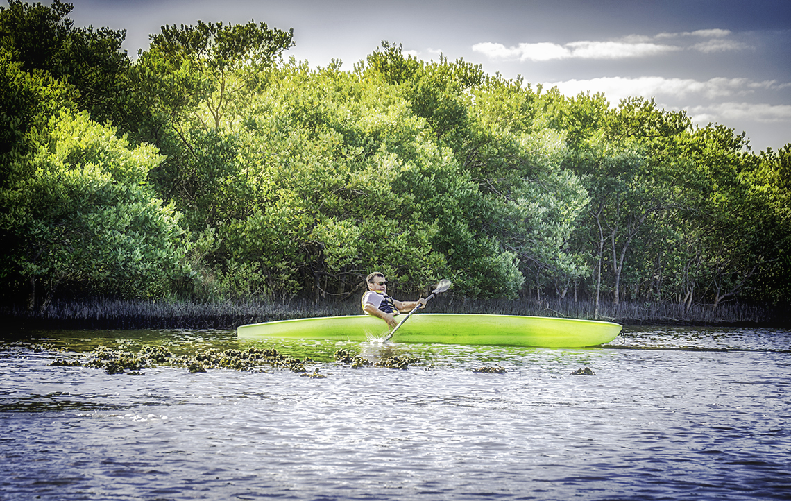
While one group proceeded to paddle into the interior in order to visit the cemetery, the rest paddled onto shore, through the grass near the Southeast corner of the key. Here we put our chairs in the water, ate some refreshments and several of the group began fishing. While no one was able to catch dinner, several of our group caught numerous fish but all were too small to keep. Among those varieties caught were Lady Fish, Catfish, Trout and a couple other species. The sun was hot but the water was nice and cool. Soon the other half of our group returned from the cemetery expedition, we stayed a little longer fishing and relaxing then proceeded around the Southeast corner of the key, paddling along the twisted easterly coast. Here the trees have taken a beaten from the strong winds that come up across the gulf.
The eastern shore and heading back…
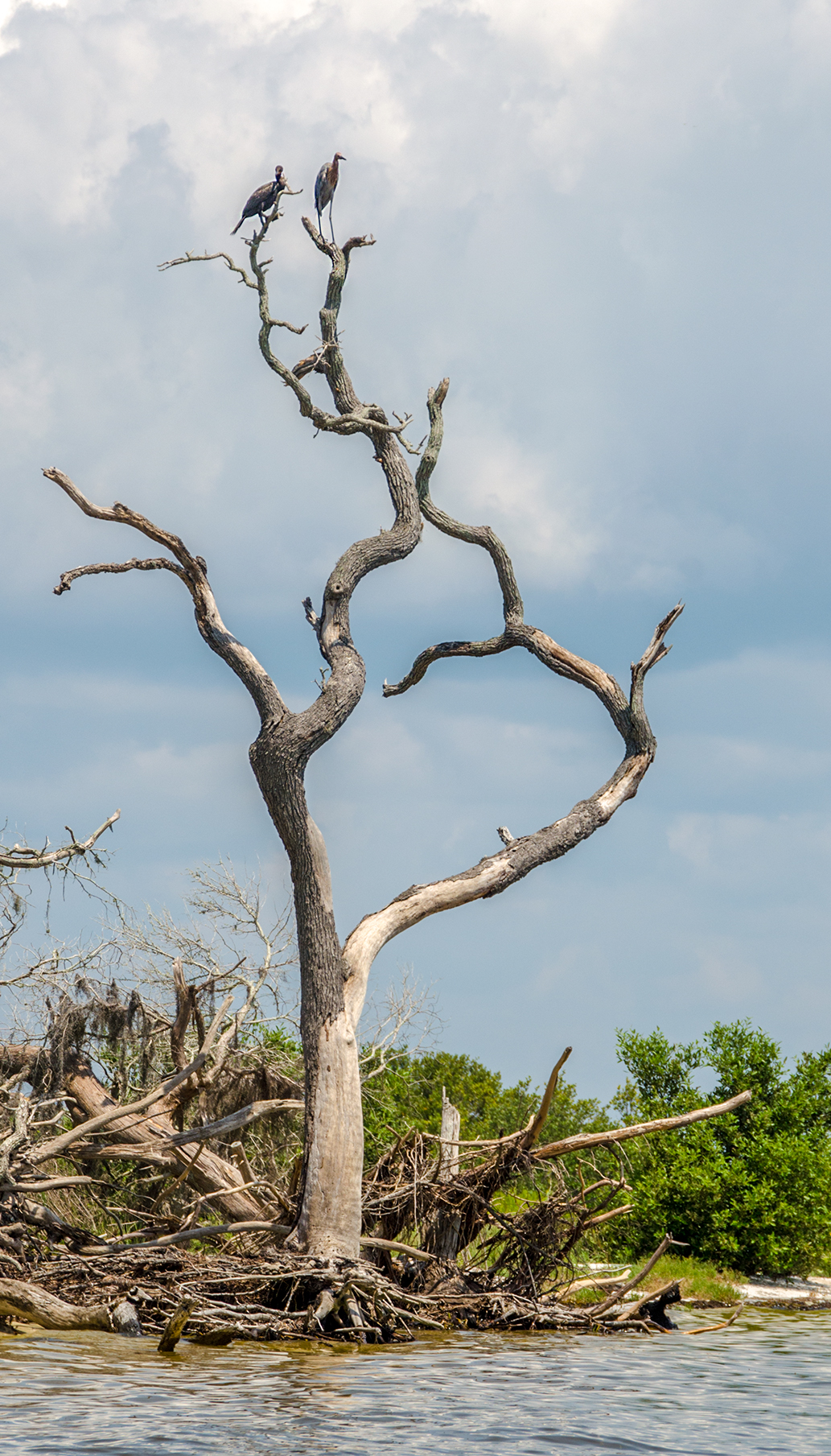
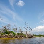
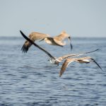
It becomes quite evident turning the Southeast corner and paddling up the shoreline that storms have taken a toll on many trees. Numerous pines are dead and remain only as skeletal perches for the Cormorants and Egrets. I can only imagine a combination of weather, diseases and lightning have all contributed to the demise of these trees.


Further up the shoreline, the trees thin out and transition to mangroves. It is here we have our final rest stop, cool off and head back to Cedar Key. Another great day on the water and another chapter in Florida Paddle Notes.
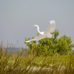
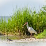
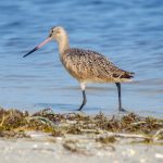
Birds of Atsena Otie Key:


Key Details:
![]() Location: Cedar Key is a city located 50 miles southwest of Gainesville, Fl on SR 24, in Levy County, 29°8′44″N, 83°2′30″W. Atsena Otie is the closest key, located approximately 1/2 mile south of Cedar Key.
Location: Cedar Key is a city located 50 miles southwest of Gainesville, Fl on SR 24, in Levy County, 29°8′44″N, 83°2′30″W. Atsena Otie is the closest key, located approximately 1/2 mile south of Cedar Key.
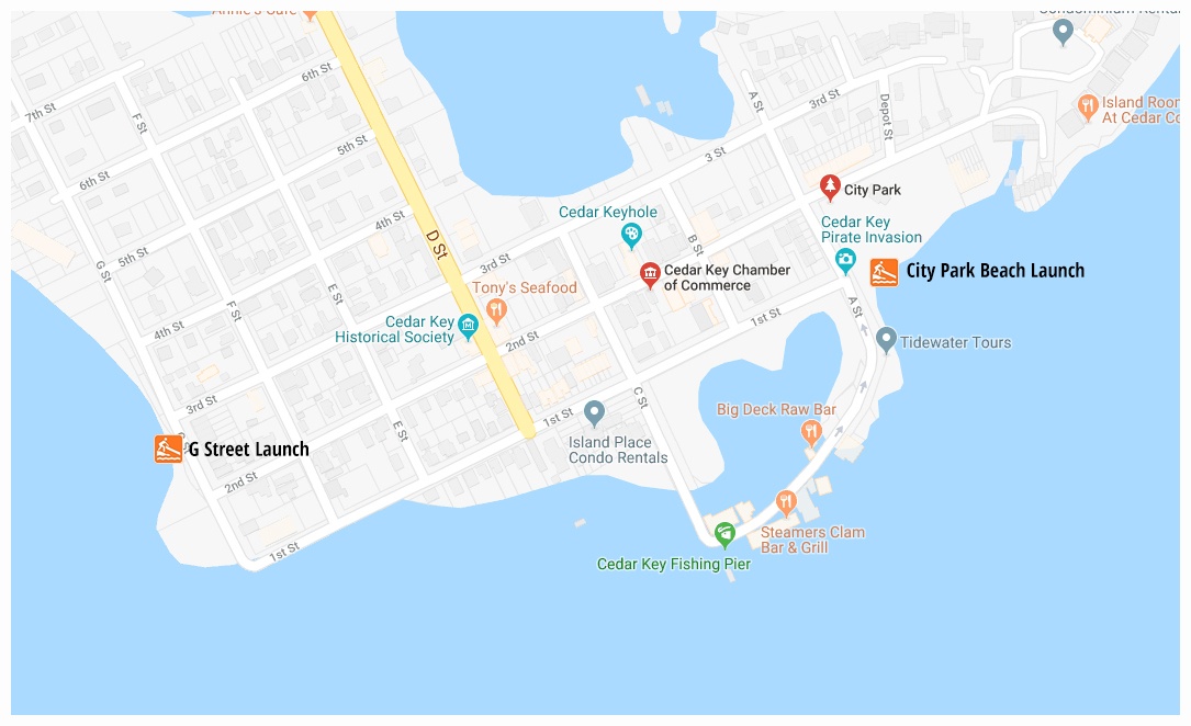
![]() Launch point: The launch areas are located at the City Park Beach and on G Street
Launch point: The launch areas are located at the City Park Beach and on G Street
Rentals are available at the following locations:
Kayak Cedar Keys – 6027 A St, Cedar Key, FL 32625 – 352-543-9447
Cedar Key Paddling. Bait, Tackle, & Rentals – 12293 FL-24, Cedar Key, FL 32625 – 352-665-1276
Cedar Key Boat Rentals &Island Tours – 8070 A St, Cedar Key, FL 32625 – 352-231-4435
![]() Paddle Distances:
Paddle Distances:
Cedar Key to Atsena Otie: – Approximately 3/4 mile from the City Park Beach to the northern beach on Atsena Otie. The paddle around Atsena Otie is approximately 2 miles. Paddling inside Atsena Otie, covering all areas will add 3.5 miles
Cedar Key to Daughtry Bayou: – Approximately 4.5 miles round trip.
![]() Difficulty: Easy paddling. Keep track of tides so as to not get trapped inside Atsena Otie or in the bayou around the airport. Keep watch for boats in the channel.
Difficulty: Easy paddling. Keep track of tides so as to not get trapped inside Atsena Otie or in the bayou around the airport. Keep watch for boats in the channel.
 Average Paddle Time: This varies greatly depending on stops and exploration. For an approximation of actual paddling time, simply use an average speed of 2.5 mph.
![]() Width and Depth: The lagoons inside Atsena Otie as well as around Way Key and Draughty Bayou, can vary from 200 – 400′ wide. Depending on the tides, water depth can range from 1.5′ to 4.5′. ***Be sure to keep track of the tides inside the inner lagoons of Atsena Otie as well as the surrounding bayous. It is easy to be trapped in by very shallow water and oyster beds!***
Width and Depth: The lagoons inside Atsena Otie as well as around Way Key and Draughty Bayou, can vary from 200 – 400′ wide. Depending on the tides, water depth can range from 1.5′ to 4.5′. ***Be sure to keep track of the tides inside the inner lagoons of Atsena Otie as well as the surrounding bayous. It is easy to be trapped in by very shallow water and oyster beds!***
![]() Current – Tidal: Definitely tidal and the current is strong in the channel at the change of tides.
Current – Tidal: Definitely tidal and the current is strong in the channel at the change of tides.
![]() Side Paddles: The Inside of Atsena Otie can be paddled thoroughly at high tide. If not high tide, the oyster beds prevent full exploration. ***Be sure to keep track of the tides inside the inner lagoons of Atsena Otie as well as the surrounding bayous. It is easy to be trapped in by very shallow water and oyster beds!***
Side Paddles: The Inside of Atsena Otie can be paddled thoroughly at high tide. If not high tide, the oyster beds prevent full exploration. ***Be sure to keep track of the tides inside the inner lagoons of Atsena Otie as well as the surrounding bayous. It is easy to be trapped in by very shallow water and oyster beds!***
![]() Rest Areas: There are numerous places to paddle on shore and enjoy the beaches of Atsena Otie. Near the kiosk on the West side there is also a bathroom.
Rest Areas: There are numerous places to paddle on shore and enjoy the beaches of Atsena Otie. Near the kiosk on the West side there is also a bathroom.
![]()