
Brief Overview:
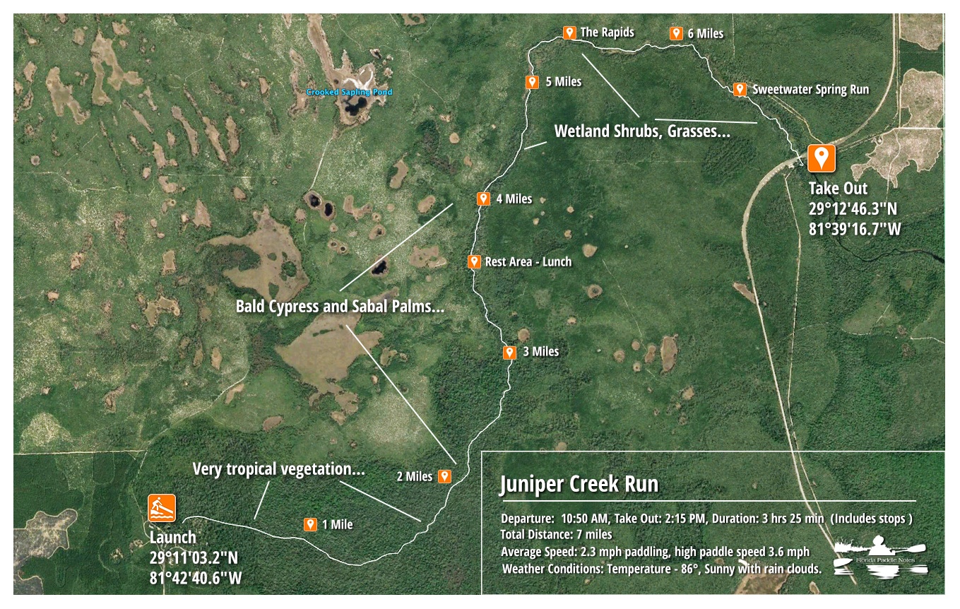
Juniper Creek – Upper is a 7 mile winding waterway originating from Juniper Springs in the Ocala National Forest, Marion County. The creek flows through several sections of beautiful, diverse forest and wilderness eventually flowing into the St. Johns River. There are numerous trees to maneuver under and if the water level is low, portaging over the sandy bottom may be necessary in several areas. The current is swift in the upper section, slowing down somewhat as it flows through the Juniper Prairie Wilderness. There are several places mid-way down the creek to rest in the cool water with a hard sandy bottom. As the creek begins an easterly direction about 3/4 of the way downstream, there is a short but fun rapid to liven up the paddle. Juniper Creek passes under the Hwy 19 bridge on it’s way to the St. Johns River and this is where the run take-out is. Juniper Creek Run ( upper ) is listed as one of the top 25 canoe runs in America by ReserveAmerica
*Absolutely no disposables or inflatables are allowed on the creek and coolers are checked at the launch. Be prepared for an adventure!
Run Details ~ Paddle Notes ~ Flora ~ Fauna
Juniper Creek Run Details:
![]() Location: Juniper Springs is located in the Ocala National Forest, 22 miles East of Silver Springs on HWY 40 and 4.5 miles West of the intersection of Hwy 19 and Hwy 40. The spring is the head water for Juniper Creek which is located in the Juniper Springs Recreational Area 29°10’41,4.5″ N, 81°42’46.4″ W.
Location: Juniper Springs is located in the Ocala National Forest, 22 miles East of Silver Springs on HWY 40 and 4.5 miles West of the intersection of Hwy 19 and Hwy 40. The spring is the head water for Juniper Creek which is located in the Juniper Springs Recreational Area 29°10’41,4.5″ N, 81°42’46.4″ W.
![]() Launch point: The launch area is inside the park a little over a 1/4 mile from the entrance office. There is parking available but getting there early ensures getting a spot. Kayak carts are available and are needed for the boardwalk leading to the launch…approximately 800′.
Launch point: The launch area is inside the park a little over a 1/4 mile from the entrance office. There is parking available but getting there early ensures getting a spot. Kayak carts are available and are needed for the boardwalk leading to the launch…approximately 800′.
Rentals are available at the concession from 8:00 – 11:30 PM. Canoe rental info: 352-625-2808. There is a $5.00 fee to enter the recreation area and the following fees for rentals:
| Description | Fee | Info |
|---|---|---|
| Canoe Rental | $35 | Per rented canoe, including re-haul ($20 refundable deposit required) |
| Canoe Re-haul | $10 | Per privately owned canoe |
| Canoe Transport to Juniper Springs | $10 | Per transport (privately owned canoe) – $20 refundable deposit required |
| Tandem Kayaks | $40 | $20 refundable deposit required |
![]() Paddle Distance: Juniper Creek Run is a 7 mile paddle from the launch to Juniper Wayside at HWY 19.
Paddle Distance: Juniper Creek Run is a 7 mile paddle from the launch to Juniper Wayside at HWY 19.
![]() Difficulty: This paddle will be very rough for beginners. It can be considered moderate to difficult due to the current, submerged logs, combined with the winding and twisting around trees and vegetation.
Difficulty: This paddle will be very rough for beginners. It can be considered moderate to difficult due to the current, submerged logs, combined with the winding and twisting around trees and vegetation.
 Average Paddle Time: This paddle can take as much as 4-5 hours to complete. With a swift current and high water it can take 3.5 hours. This includes a stop or two.
![]() Width and Depth: Juniper Creek is a narrow creek, 15′ – 25′ and is quite shallow. Depth can run from under a foot to 2 1/2′ in the main channel.
Width and Depth: Juniper Creek is a narrow creek, 15′ – 25′ and is quite shallow. Depth can run from under a foot to 2 1/2′ in the main channel.
![]() Current – Tidal: Spring fed. Starts out with a swift current that slows off and on throughout the run. During times of rain, inflow from side creeks create a strong swift current throughout.
Current – Tidal: Spring fed. Starts out with a swift current that slows off and on throughout the run. During times of rain, inflow from side creeks create a strong swift current throughout.
![]() Side Paddles: The side creeks are numerous but small and shallow, not really able to be paddled, but they can be explored on foot.
Side Paddles: The side creeks are numerous but small and shallow, not really able to be paddled, but they can be explored on foot.
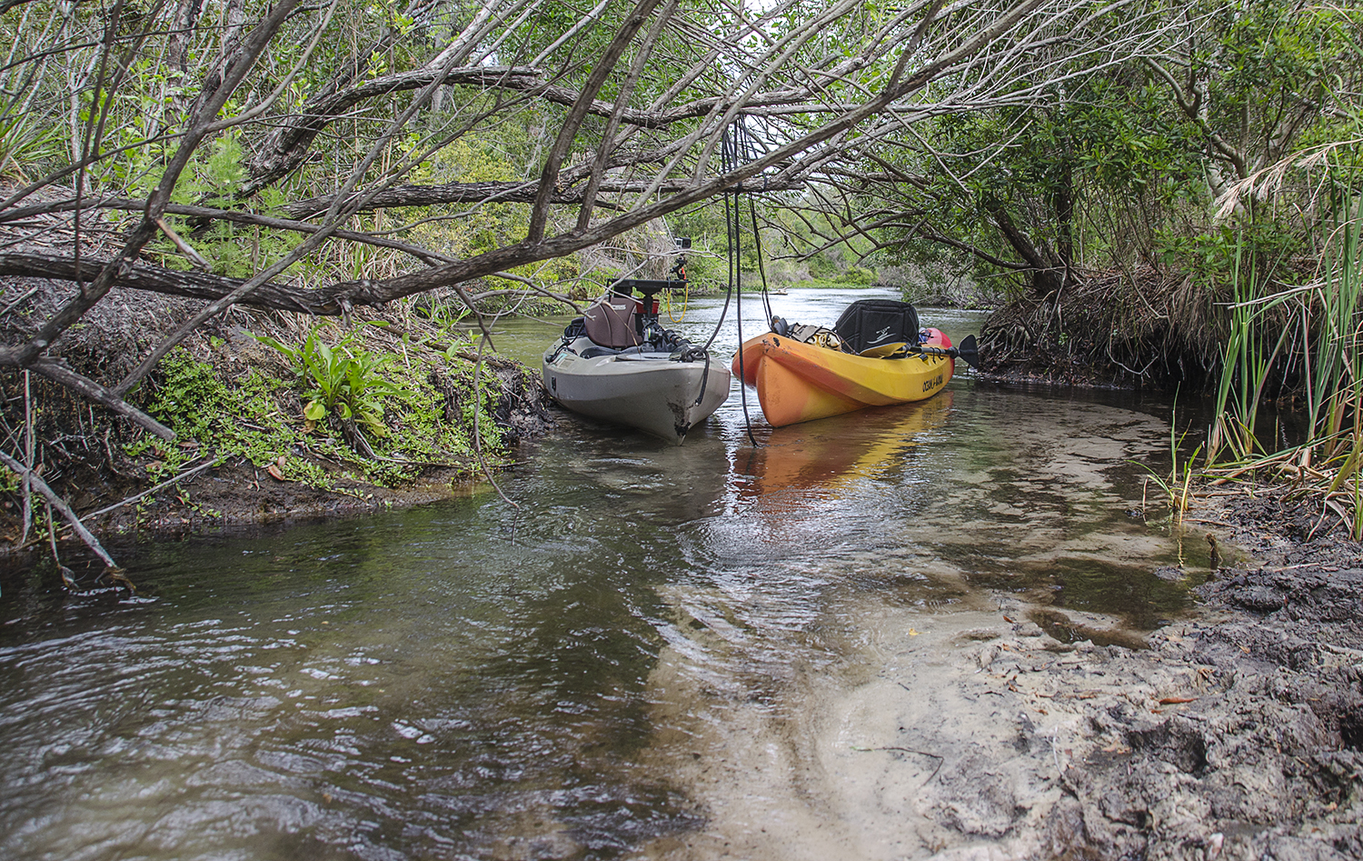
![]() Rest Areas: Not until 1/2 way into the paddle will there be adequate places to exit. Around the halfway point and beyond there are several areas that are sandy, firm and shallow that make for good rest stops.
Rest Areas: Not until 1/2 way into the paddle will there be adequate places to exit. Around the halfway point and beyond there are several areas that are sandy, firm and shallow that make for good rest stops.
Paddle Notes:
Into the tropical jungle…
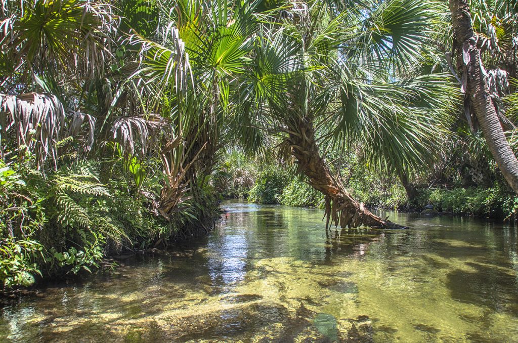
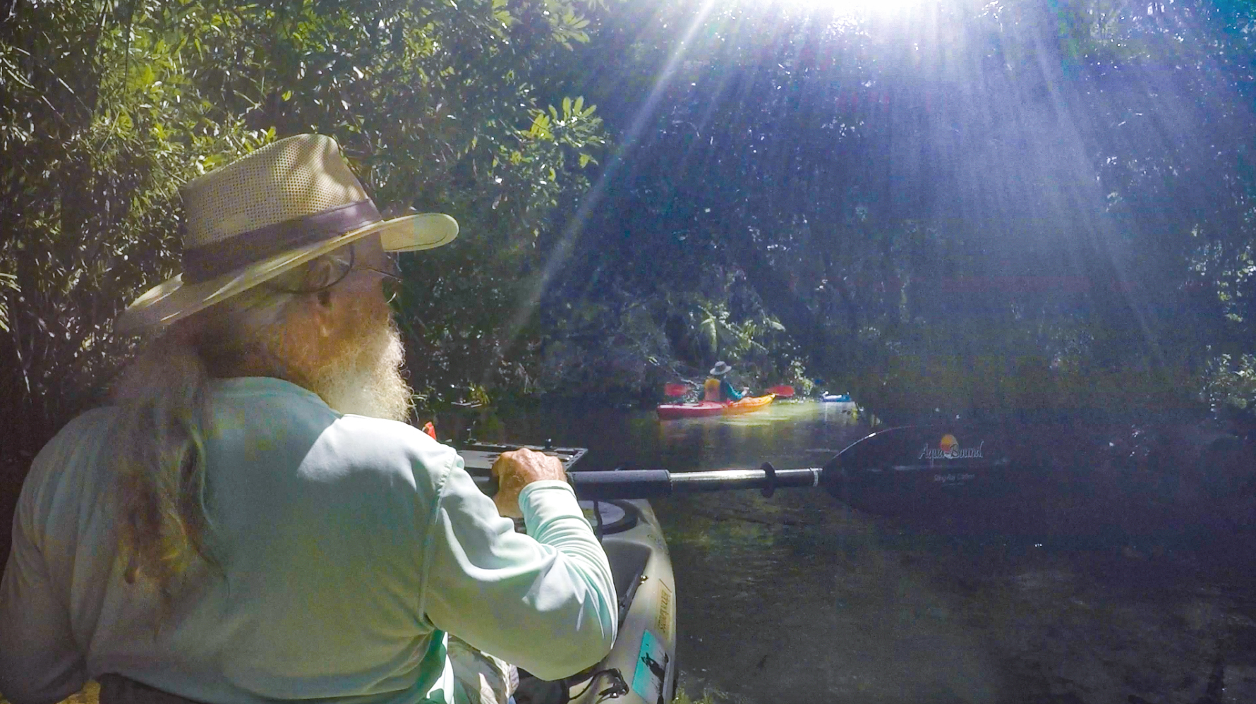
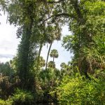
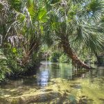
The moment we enter the water at the launch it is time for adventure! The journey begins with a swift current as crystal clear water flows over the white sandy bottom. Palms, both young ones along the shoreline and older ones towering high above, along with other tropical vegetation create a very jungle-like appearance. It is beautiful. The creek at this point is at best 10′ wide and very shallow. Immediately the twists and turns begin, as well as the maneuvering under trees and overhangs. Paying attention and paddling skills are a must, but remember to take in all the beauty. Young cabbage palms create arches to paddle under, while older palms lean gracefully over the water before turning upward.
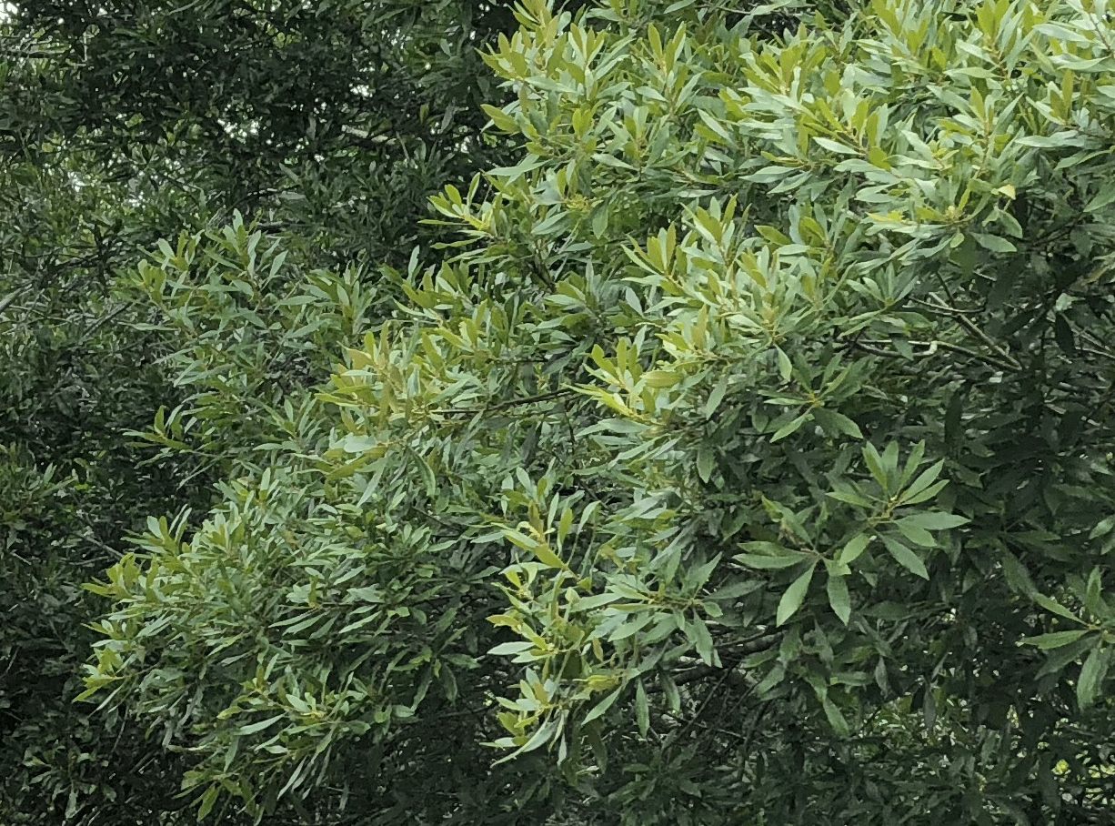
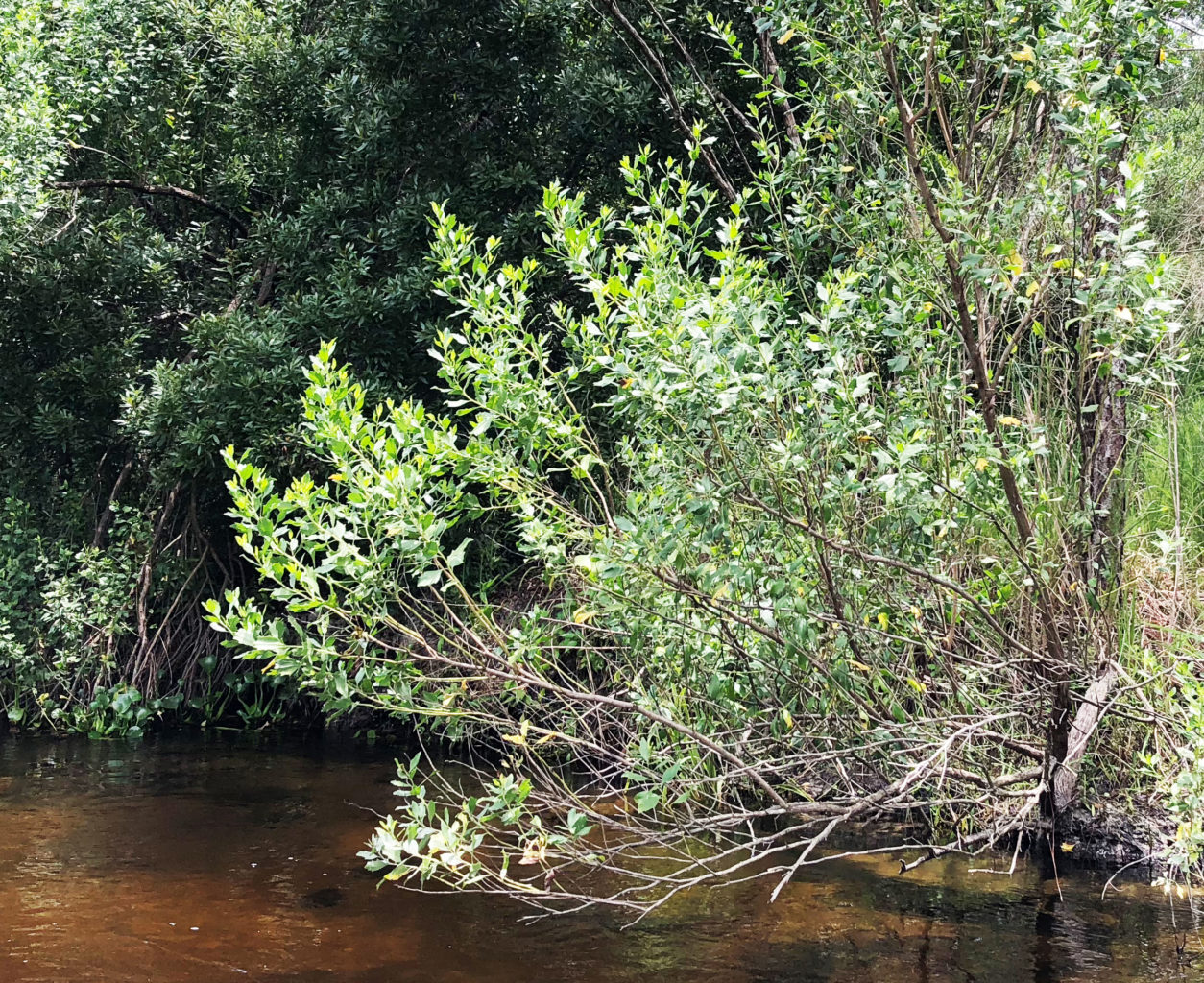
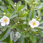
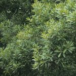
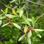
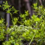
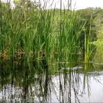
Since the last paddle and several months of abundant rain, the vegetation is thick and healthy as we paddle through riverine swamp. Grape vines cover the smaller shrubs and wind their way up tree trunks and cover the many overhangs. Cabbage Palms, Wax Myrtle, Dahoon Holly, Assorted Ferns, Sawgrass, Red Maples and Water Hemlock are abundant along the shoreline in this section.
Photography in this section is quite difficult on this particular day. The water is swift and a careful eye must be kept for overhangs and underwater branches from downed trees. Plan a photo ahead, have your camera ready and allow yourself to flow into the picture. With the higher water level, trees that overhang the creek demand some ‘limbo’ dexterity!
The Cedars and Wilderness…
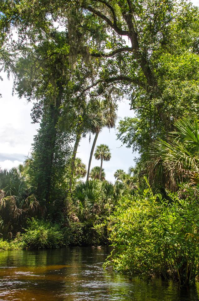
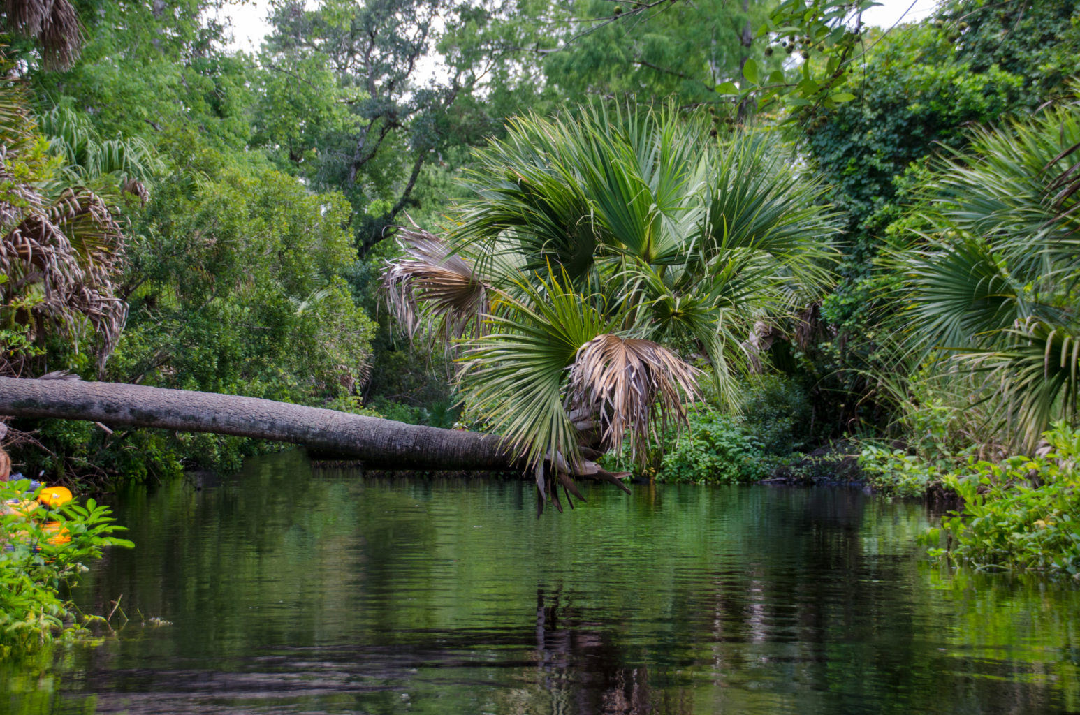
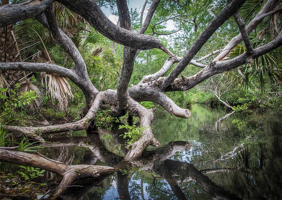
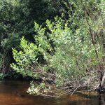
Around the 2 – 2 1/2 mile mark, there is a transition in the surrounding habitat. As the creek begins a more northerly flow through the Juniper Prairie Wilderness, tall Sabal Palmettos are mixed with large old Bald Cypress. Here, Juniper Creek varies in both width and depth and the flow remains strong. The canopy overhead varies as well, sometimes open and others not. The water isn’t quite as pristine here as more tannins filter in, giving the water a slight ‘tea’ color, especially in the deeper water. Wax Myrtle become more abundant along the shorelines as is Dahoon Holly.
There are still plenty of fallen trees to maneuver around, as well as submerged trunks and branches to watch out for. This section does have areas to rest that are refreshing and shallow with sandy bottoms. The current remains swift so be sure secure your kayaks well.
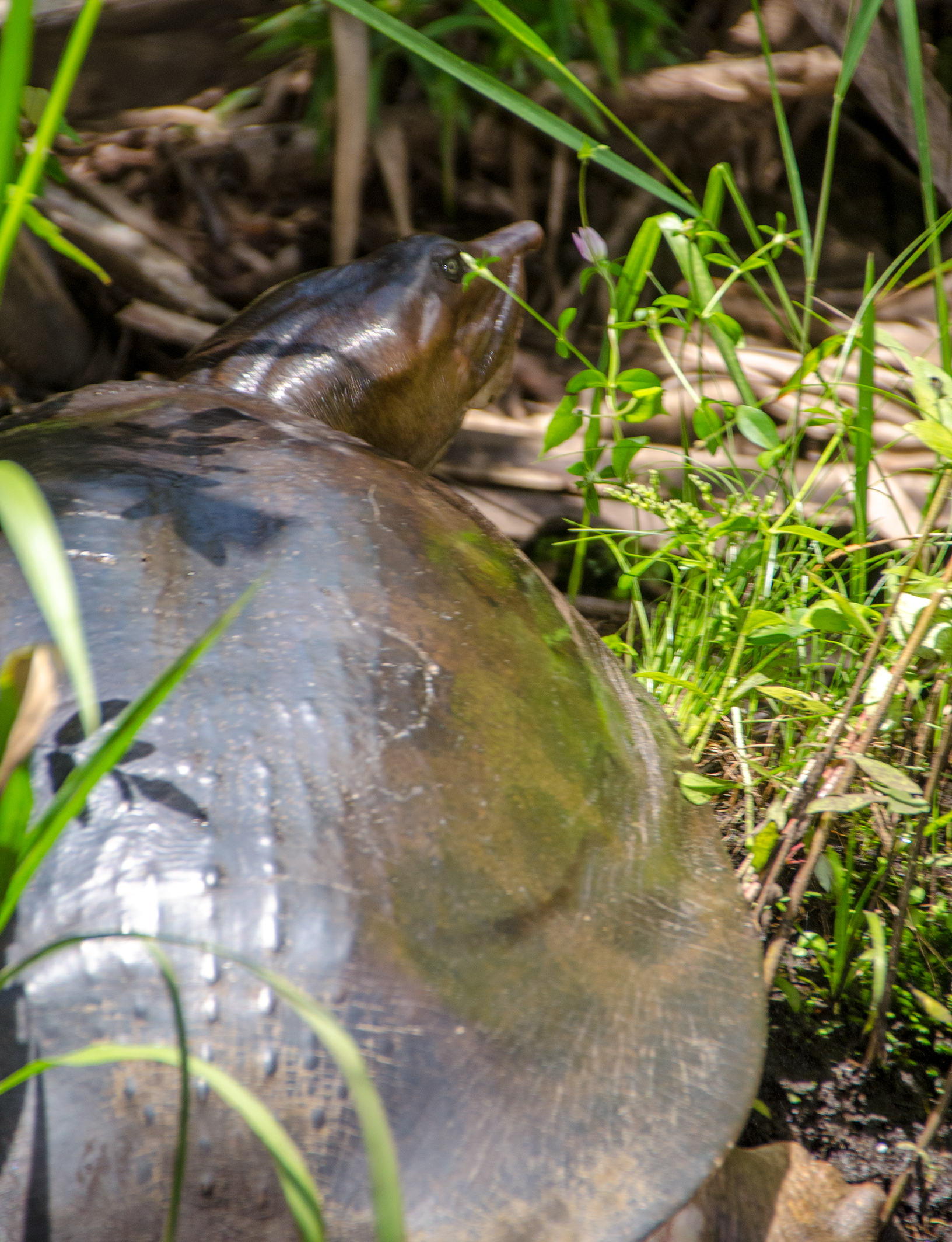
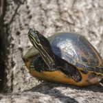
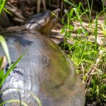
Along this section of the creek, there is a greater chance to see Alligators, Turtles and Otters. On this particular trip we saw several large soft-shell turtles as well as a couple of gators.
Juniper Creek ‘Rapids’…
The middle section begins to open up as well as get a bit more shallow, though the current is still nice. Along this area are several tributaries from smaller springs, that though not deep enough to paddle, offer a chance to walk up into them. We tied our kayaks to the shrubs and ventured up into the side creek for several hundred feet which was quite easy to do. There were a few soft spots in the sandy bottom, but we had a chance to walk and stretch our legs,
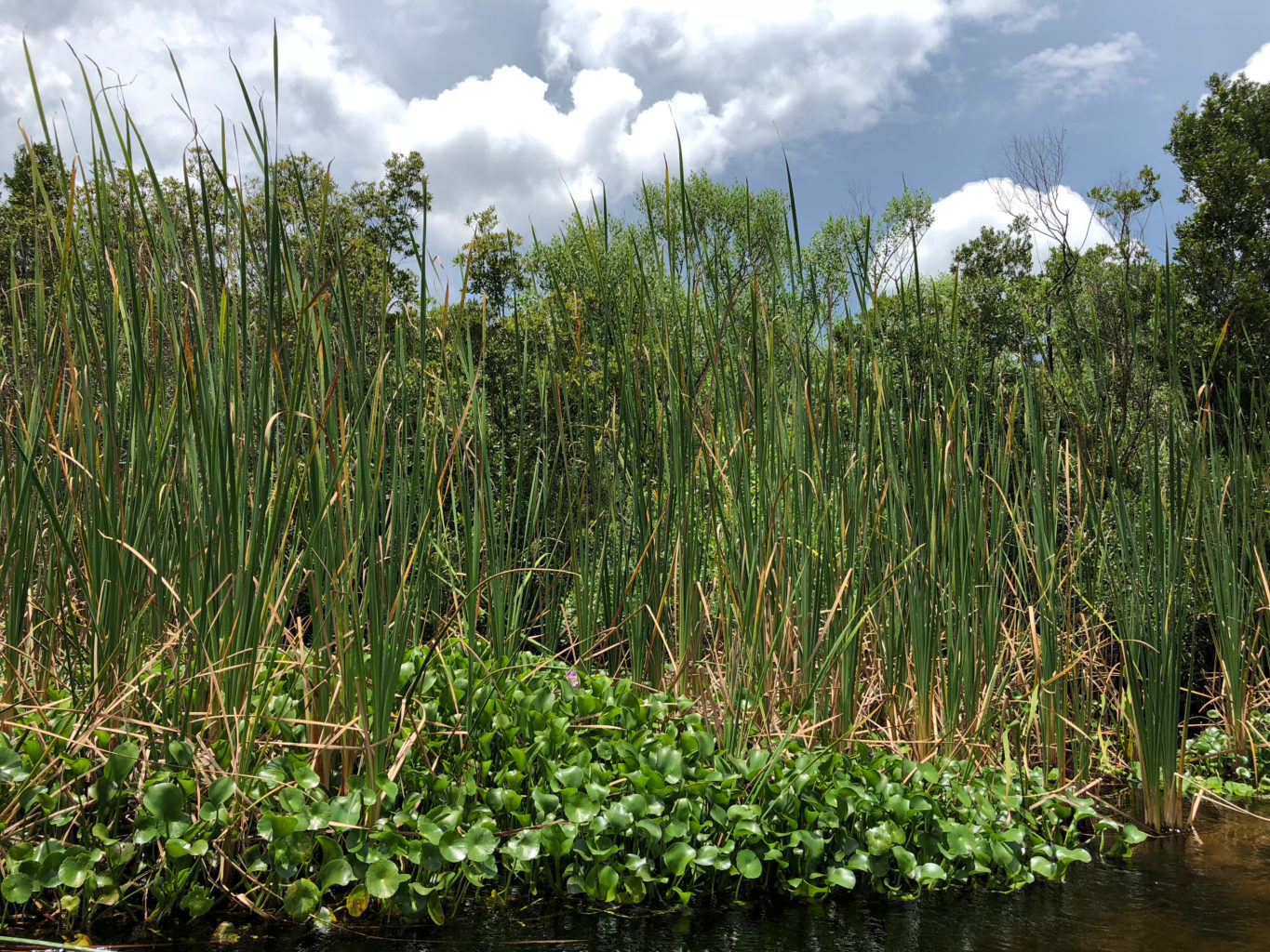
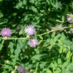
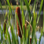
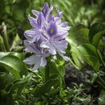
As this middle section begins a transition from a Northerly flow to an Easterly flow the terrain widens with large shallow shorelines. Here Water Hyacinths gather at the base of Cattails and Sawgrass. The shrubs along the shoreline are predominantly Wax Myrtle and Salt Bush ( Baccharis halimifolia ).
Juniper Creek turns in an Easterly direction just past the 5 mile mark and where we approach ‘The Rapids’. Yes, for just under 30 seconds, the rapids offer a thrill and refreshing ‘pick me up’. Here the creek gains more canopy overhead and as we make the bend Easterly we can begin to hear the rapids ahead. A submerged log, coupled with an underground spring help create the rapids. On this particular trip there was an 8″-12″ drop at the beginning to give a nice boost into the stream of fast moving water. By the time the excitement begins it is over, but a fun treat! Here is a short clip of the rapids from last year’s paddle…
The final leg of the run after the rapids begins to open up again and also becomes more shallow. Sweetwater Spring Run is on the left at 29°12’06.3″ N, 81°39’35.6″W and is blocked off. Exit Juniper Creek Run up ahead atJuniper Wayside, SR 19 on the right 29°12’46.2″N, 81°39’16.5″W. Always a great adventure to paddle Juniper Springs Run! This closes another chapter of Florida Paddle Notes until next time!
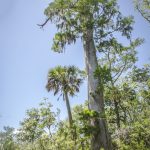
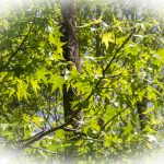
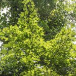
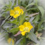
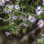
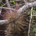
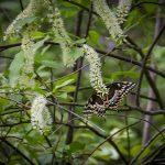
Flora Gallery:
Trees, Shrubs, Aquatic and Flowering Plants seen along Juniper Creek Run…

Fauna Gallery:
Wildlife seen along Juniper Creek Run…

![]()