
Back on the Ocklawaha River:
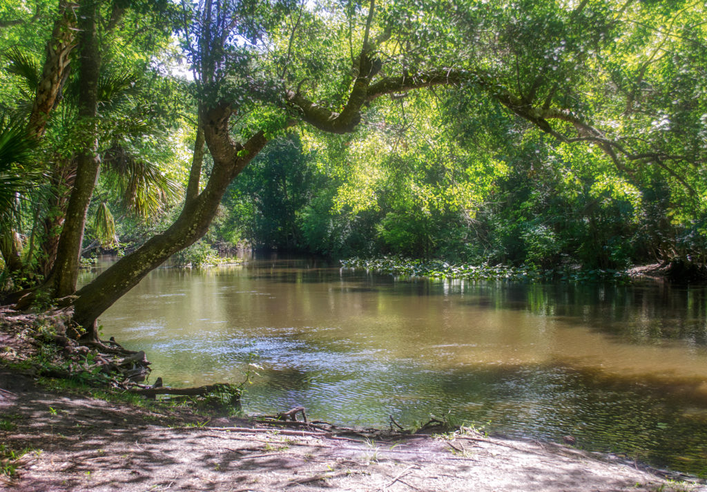
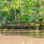
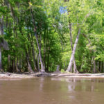
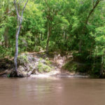
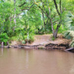
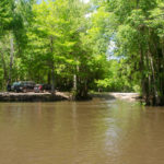
Yesterday was a beautiful day to revisit the Ocklawaha River. We launched at Gore’s Landing, paddling downstream ( North ) to the take out at Eureka East on HWY 316. The temperature was in the upper 60’s at launch time with spotted showers and became mostly sunny with a high around 72° for most of the paddle. There was a strong breeze that had little effect on us for the most part…being blocked by the thick forest surrounding the river. The current was swift, around 3 mph, the water high, yet very muddy. Due to a combination of the rains and high water level, the water looked like melted milk chocolate.
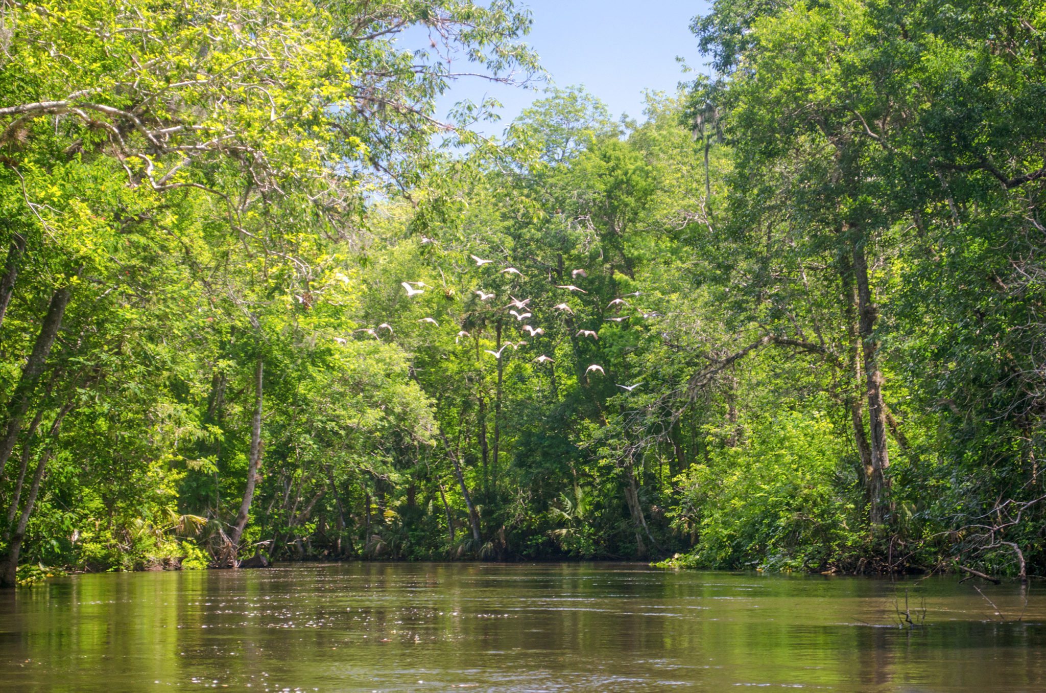
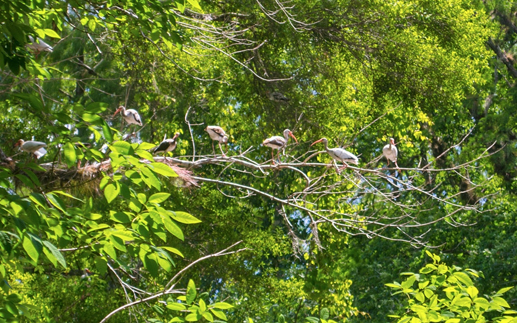
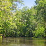
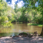
All in all it was a perfect day for a paddle. The trees were flushed out with new green spring growth, many of the flowers were yet to be in bloom. Carolina Ash were full of their characteristic ‘helicopter’ seed pods. Several gators were spotted and of course turtles. Around the 1.7 mile mark from Gore’s Landing was a long stretch of nesting Ibis, that when startled, continued to fly ahead of us for a continual show. Many were young, still displaying the darker colors on the wings.
With a higher water level at 19.38′ ( flood stage 22′ ), an average depth near 4′ and a swift current, paddling was leisurely and enjoyable. Several trees were newly fallen over the river, but all were passable with no problem. The water level also made a couple of the normal ‘rest stops’ a little more tricky. Still accessible are the popular stops along Sunday Bluff , located at the 5.8 mile mark from Gore’s Landing. A good read on the history of Sunday Bluff can be read here.
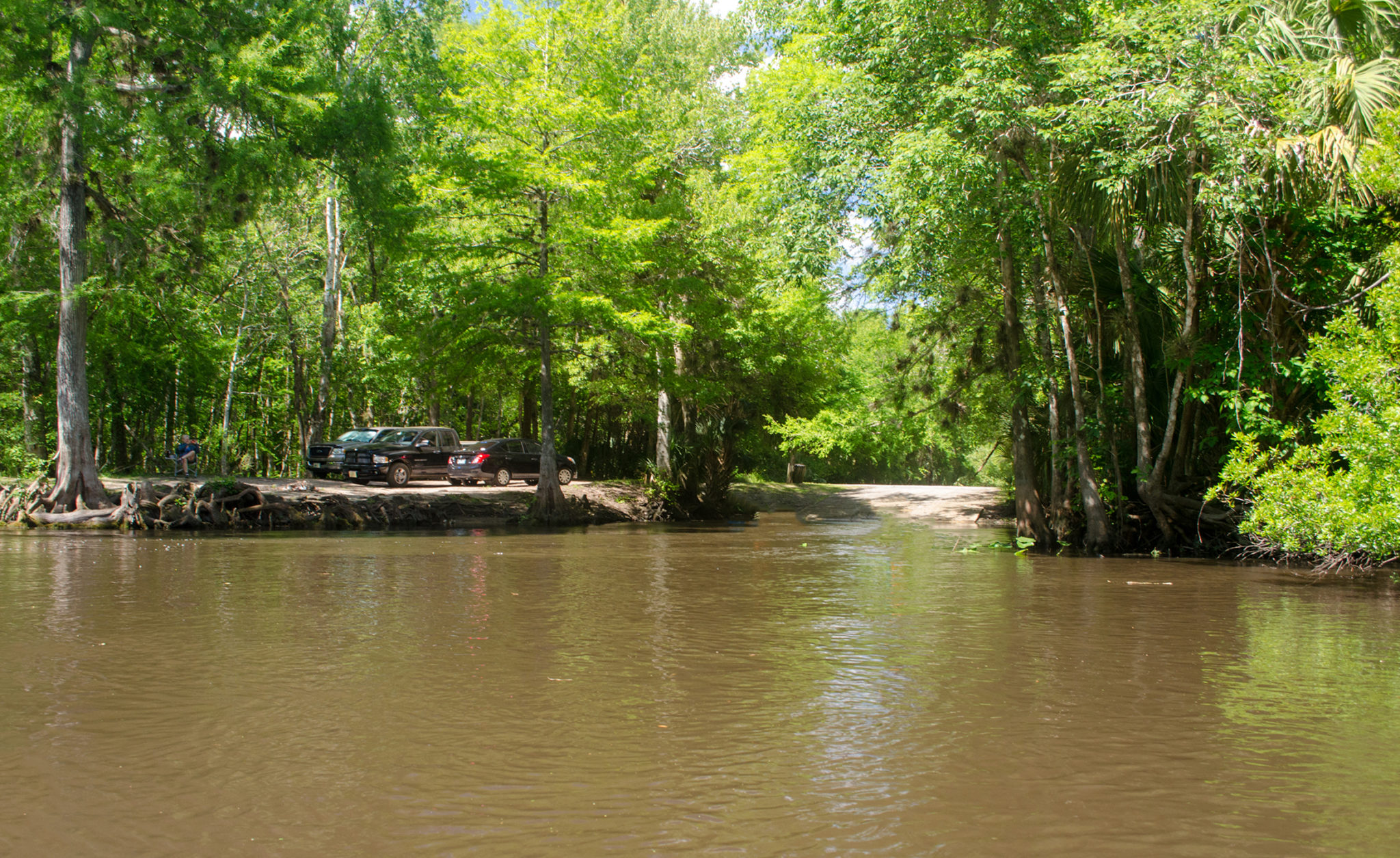
With a pleasant paddle over, we remained at our take out location at Eureka East and had an enjoyable grill out on the small peninsula, ending another chapter in Florida Paddle Notes.

![]() For in depth Paddle Notes on this section of the Ocklawaha River and others please see these detailed previous Florida Paddle Notes entries …
For in depth Paddle Notes on this section of the Ocklawaha River and others please see these detailed previous Florida Paddle Notes entries …
The Ocklawaha River – Gore’s Landing to CR 316 | The Ocklawaha River – Ray’s Wayside to Gore’s Landing
The Paddle Route…
This is an updated Ocklawaha River paddle map that includes several physical markers and rest stop areas to help assist you on your paddle…
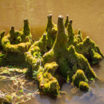
Today’s Ocklawaha River Gallery:
![]() For more in depth photos of the Flora and Fauna on the Ocklawaha River please see previous photo galleries from Florida Paddle Notes ..
For more in depth photos of the Flora and Fauna on the Ocklawaha River please see previous photo galleries from Florida Paddle Notes ..
The Ocklawaha River – Gore’s Landing to CR 316 | The Ocklawaha River – Ray’s Wayside to Gore’s Landing
Guides, Maps & Info…
- Rodman Reservoir Topo Map…
- Ocklawaha Water Level Info at Eureka…
- Florida Defenders of the Environment – Remembering the Ocklawaha…
- Ocklawaha River – Remembered-Imagined…
- North Star Charters…Capt. Karen Chadwick…
- History of The Florida Barge Canal…
- Ditch of Dreams…
- History – Treaty of Paynes Landing…
- Ocklawaha Canoe Outpost & Resort…
- The Springs of the Ocklawaha River, Florida: Rodman Dam to Eureka Dam…
- An Ocklawaha River Information Mini-Page…
- Whitey Markle on the Ocklawaha River…
- Searching for—and Finally Finding—Cannon Springs, by Whitney Sanford…
- Save Rodman Reservoir, Inc…
- Free the Ocklawaha, Info and Videos…
- Additional Ocklawaha River posts by Florida Paddle Notes…
![]()