
Brief Overview:
Pellicer Creek Aquatic Preserve is a watershed area drained by small creeks and branches, flowing into Pellicer Flats and the Matanzas River. From the Manataza River lagoons, this water eventually flows into the Atlantic Ocean.
Styles Creek and Hominy Branch flow south out of Pellicer Creek near Princess Place Preserve…
“This beautiful 1,500-acre estate was purchased by Henry Cutting in 1886 and passed on to his widow Angela Mills Cutting Worden, who eventually married Boris Scherbatoff, an exiled Russian prince. Angela assumed the title of princess and it was then that the once named “Cherokee Grove” came to be known as “Princess Place”. Built in 1887, this lodge is Flagler County’s oldest intact structure [coquina] and the only period example of Adirondack Camp Style architecture in Florida. It also boasts Florida’s very first in-ground swimming pool.”
“Pellicer Creek, once called Woodcutters Creek, was at one time home to a large timber mill. The remnants of an old bridge associated with the timber era are still visible between I-95 and US-1. Pellicer Creek was used to haul timber and turpentine out to the Mantanzas River and onward to St. Augustine. The creek is named for Francisco Pellicer, an early Spanish resident of the area and owner of a large and prosperous plantation.” – Pellicer Creek Paddling Guide
Wildlife is abundant throughout the preserve to include bobcats, deer, otter, and over a 100 species of migrating birds. The area known as Pellicer Flats is a popular fishing area where dolphin and manatees are often seen. Pellicer Creek Aquatic Preserve, with its undisturbed salt marsh, is one of the most pristine estuarine/riverine systems along Florida’s east coast.
 Pellicer – Styles – Hominy Details:
![]() Location: Pellicer Creek flows from just west of HWY US 1, eastward to the Mantazas River, near Marineland…see map
Location: Pellicer Creek flows from just west of HWY US 1, eastward to the Mantazas River, near Marineland…see map
![]() Launch Point: The launch is located at the Princess Place Preserve, accessible from the West on N Old Kings Road and US 1 near Palm Coast.
Launch Point: The launch is located at the Princess Place Preserve, accessible from the West on N Old Kings Road and US 1 near Palm Coast.
![]() Paddle Distance: This particular paddle was 6.5 miles long ( round trip ). I paddled West to Syles Creek and Hominy Branch, then back to the East into Pellicer Flats.
Paddle Distance: This particular paddle was 6.5 miles long ( round trip ). I paddled West to Syles Creek and Hominy Branch, then back to the East into Pellicer Flats.
![]() Difficulty: Easy. Wind can be a factor.
Difficulty: Easy. Wind can be a factor.
 Average Paddle Speed: 2.6 mph.
![]() Width and Depth: Pellicer Creek averaged a little over 1/4 mile wide before entering Styles Creek. Styles Creek averaged 25′ – 75′ wide and Hominy Branch 15′-20′ wide. Depending on the tide, which is only a 1′-2′ tide, Pellicer Creek could range from 18″ near the shore to 6′ in deeper pockets. Both Styles Creek and Hominy Branch are very shallow, 1.5′ to 2′ deep.
Width and Depth: Pellicer Creek averaged a little over 1/4 mile wide before entering Styles Creek. Styles Creek averaged 25′ – 75′ wide and Hominy Branch 15′-20′ wide. Depending on the tide, which is only a 1′-2′ tide, Pellicer Creek could range from 18″ near the shore to 6′ in deeper pockets. Both Styles Creek and Hominy Branch are very shallow, 1.5′ to 2′ deep.
![]() Current – Tidal: Gentle tide, that ranges 1′ – 2′
Current – Tidal: Gentle tide, that ranges 1′ – 2′
![]() Side Paddles: This trip was actually three side paddles. I did not paddle the normal Pellicer Creek Paddle Trail. Instead paddled Styles Creek and Hominy Branch, each just a short way to explore. I also paddle eastward from the launch into Pellicer Flats.
Side Paddles: This trip was actually three side paddles. I did not paddle the normal Pellicer Creek Paddle Trail. Instead paddled Styles Creek and Hominy Branch, each just a short way to explore. I also paddle eastward from the launch into Pellicer Flats.
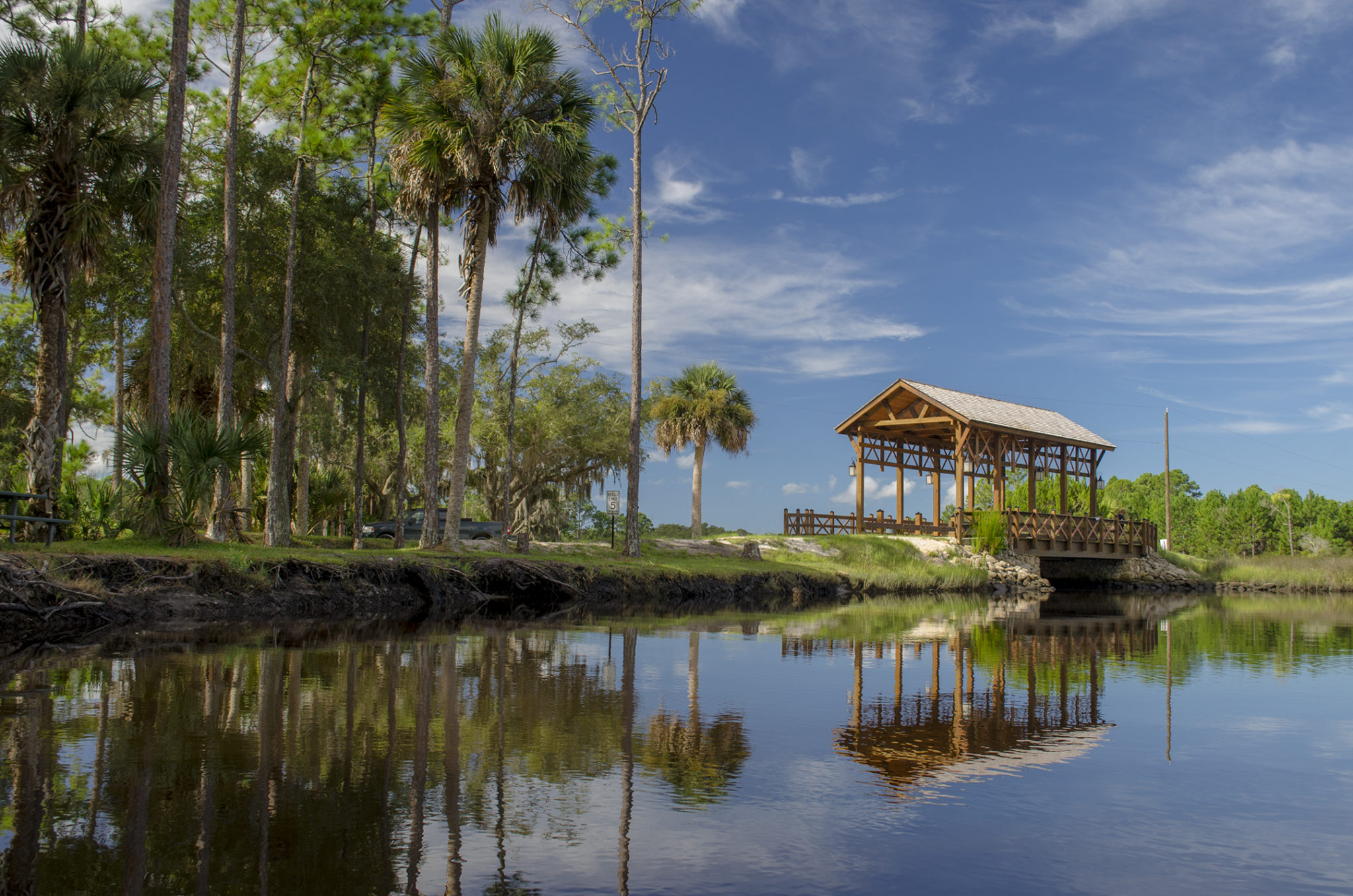
![]() Rest Areas: There are several picnic areas along this paddle, especially along Styles Creek. One, at 29°39’23.09″N, 81°14’43.22″W has restroom facilities and another at Princess Preserve Covered Bridge.
Rest Areas: There are several picnic areas along this paddle, especially along Styles Creek. One, at 29°39’23.09″N, 81°14’43.22″W has restroom facilities and another at Princess Preserve Covered Bridge.
![]() Important Information: Watch the tides, bring sunscreen and check on wind conditions.
Important Information: Watch the tides, bring sunscreen and check on wind conditions.
The Paddle Route…
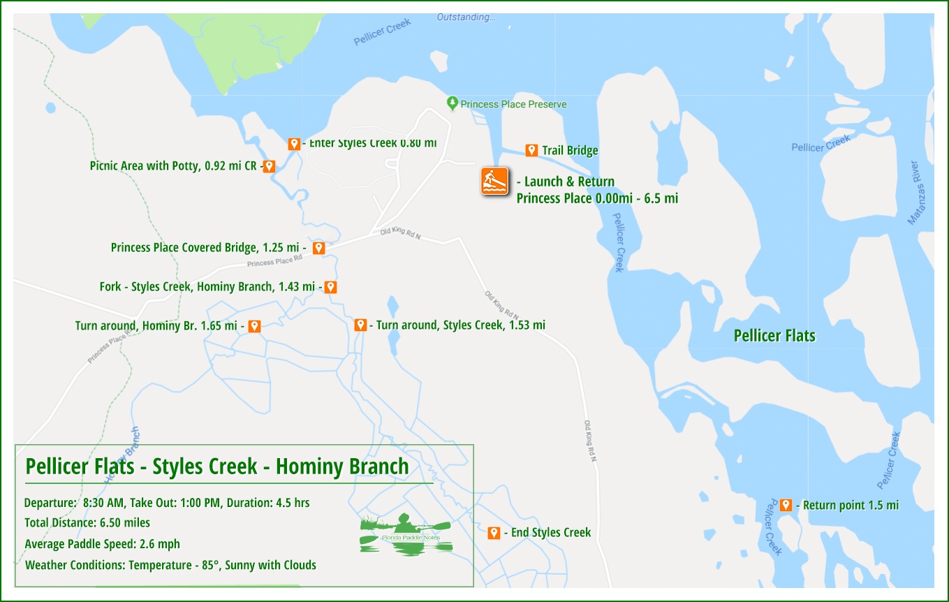
Princess Place Preserve Launch…
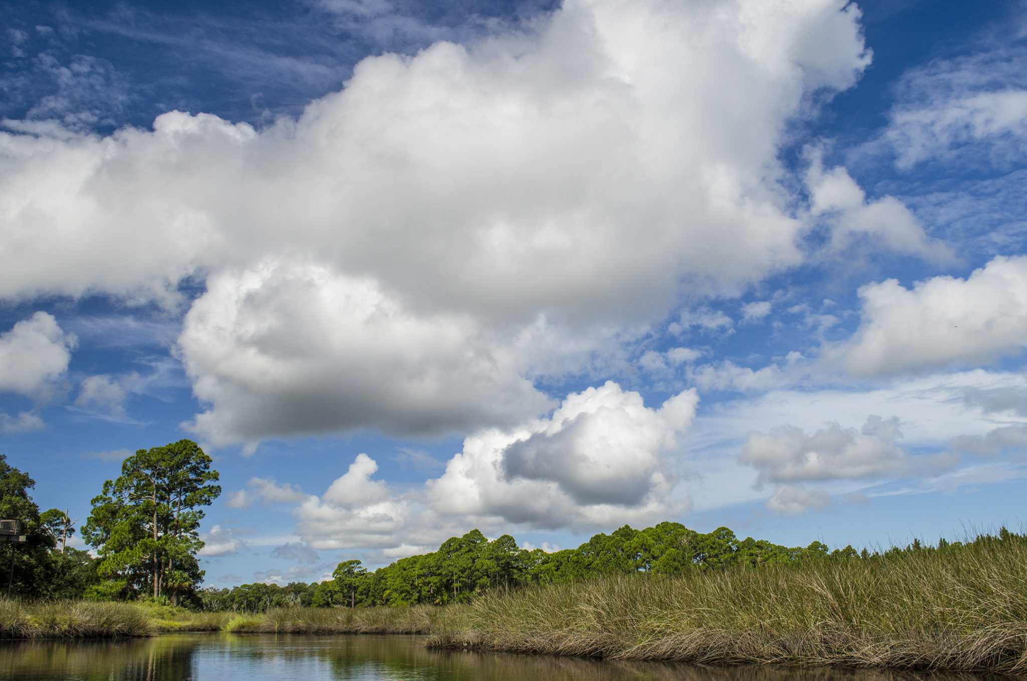
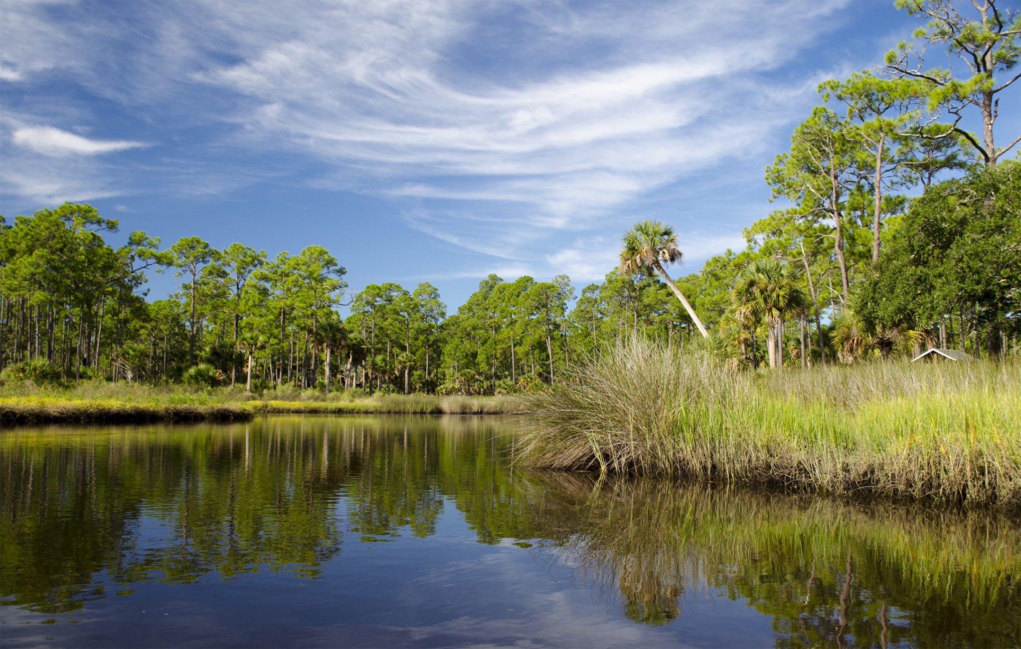
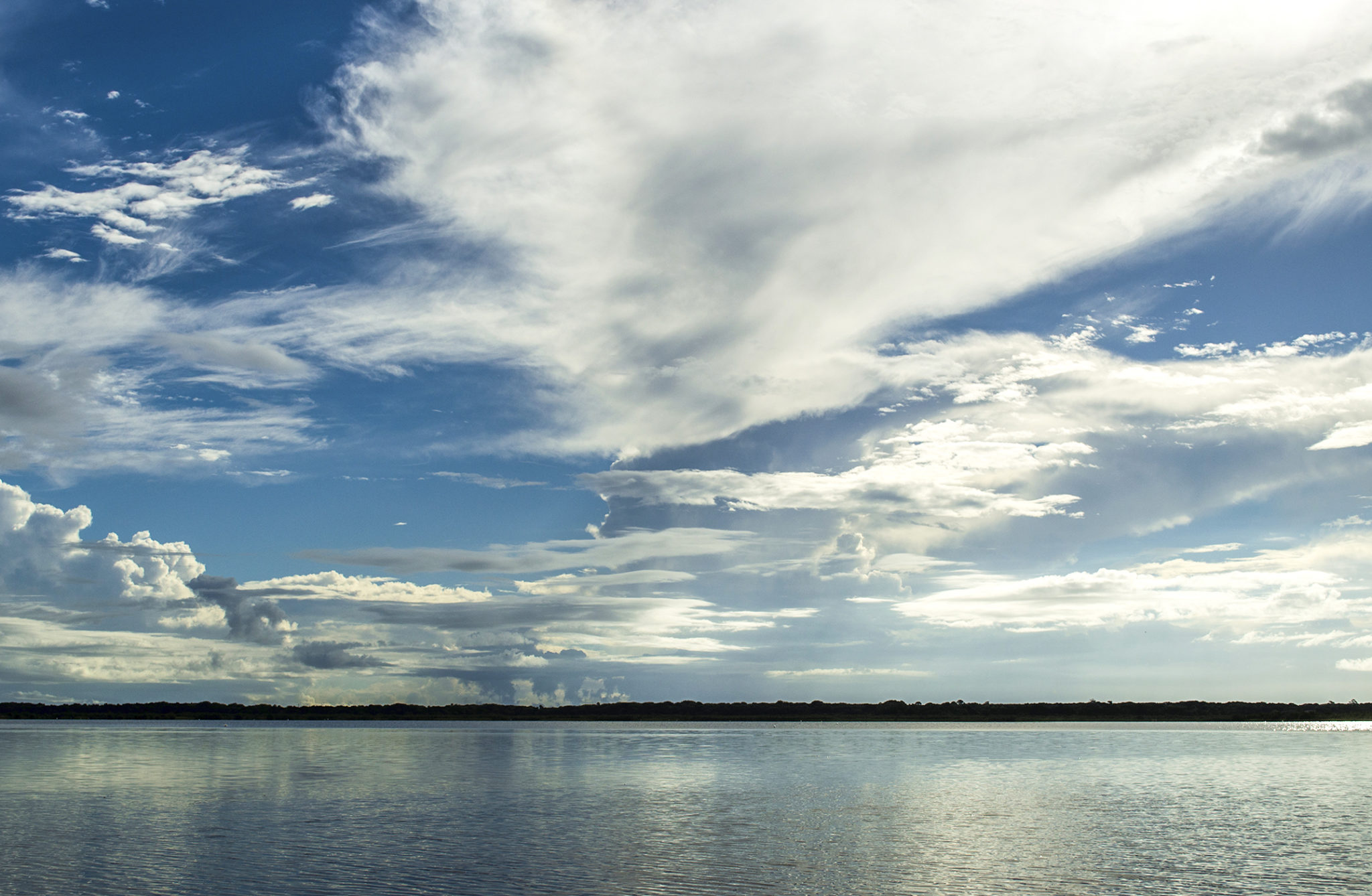
I left early to reach the Princess Place Preserve launch to get on the water in the cooler part of the day. The morning sky was beautiful and I launched around 8:30 am. The launch is a sandy, single wide boat launch, bordered with marsh grass, palms, wax myrtle and was quite a pleasant scene as the small, 800′ long x 30′ wide run led to Pellicer Creek.
This section of Pellicer Creek is wide and open as it enters the Matanzas lagoons and river. It is also usually the end of the Pellicer Creek Paddling Trail, which extends from HWY US 1 eastward 5 miles to Princess Place. There are two access points, one being Princess Place and the other just under 2 miles to the West at Faver Dykes State Park.
Styles Creek – Hominy Branch…
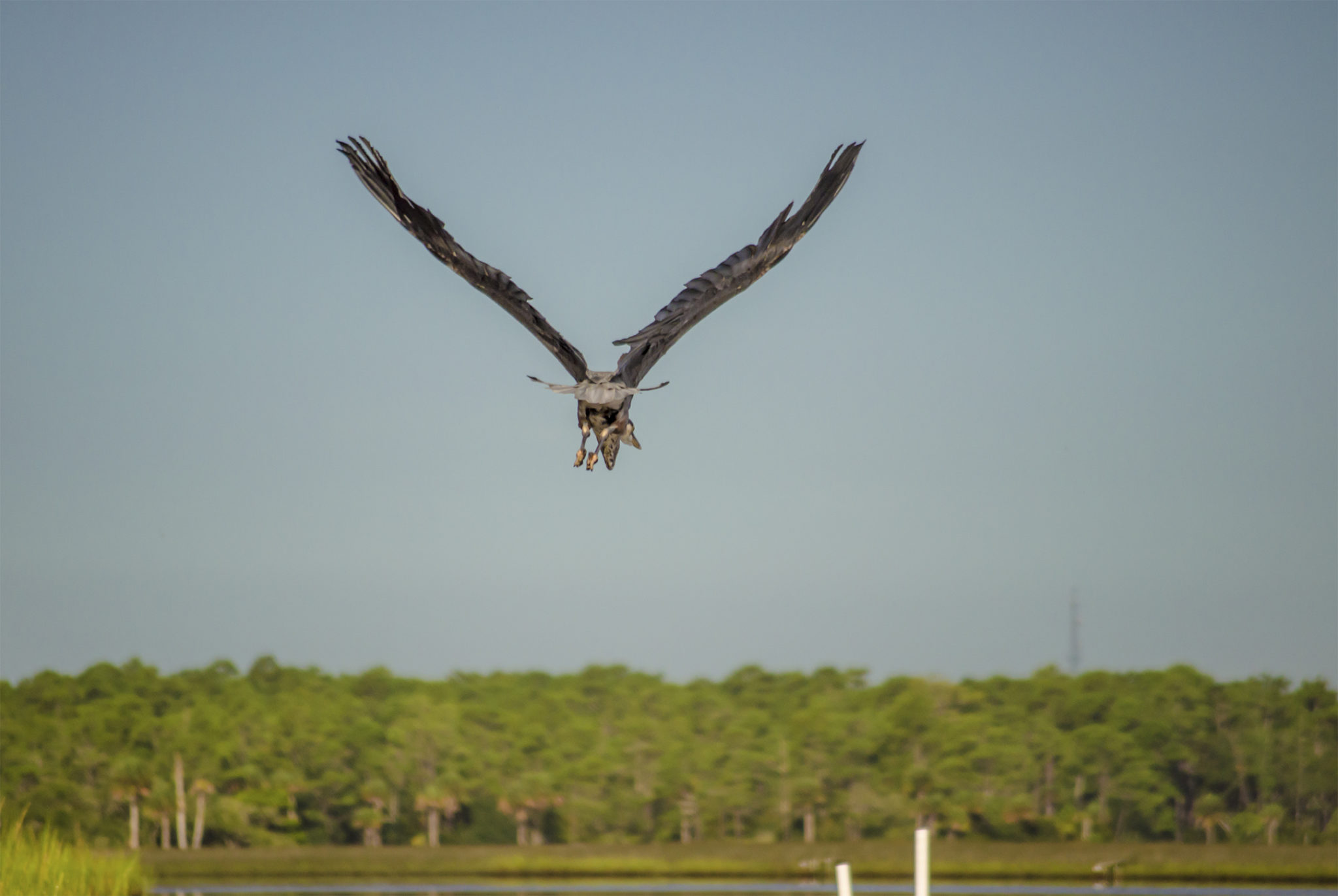
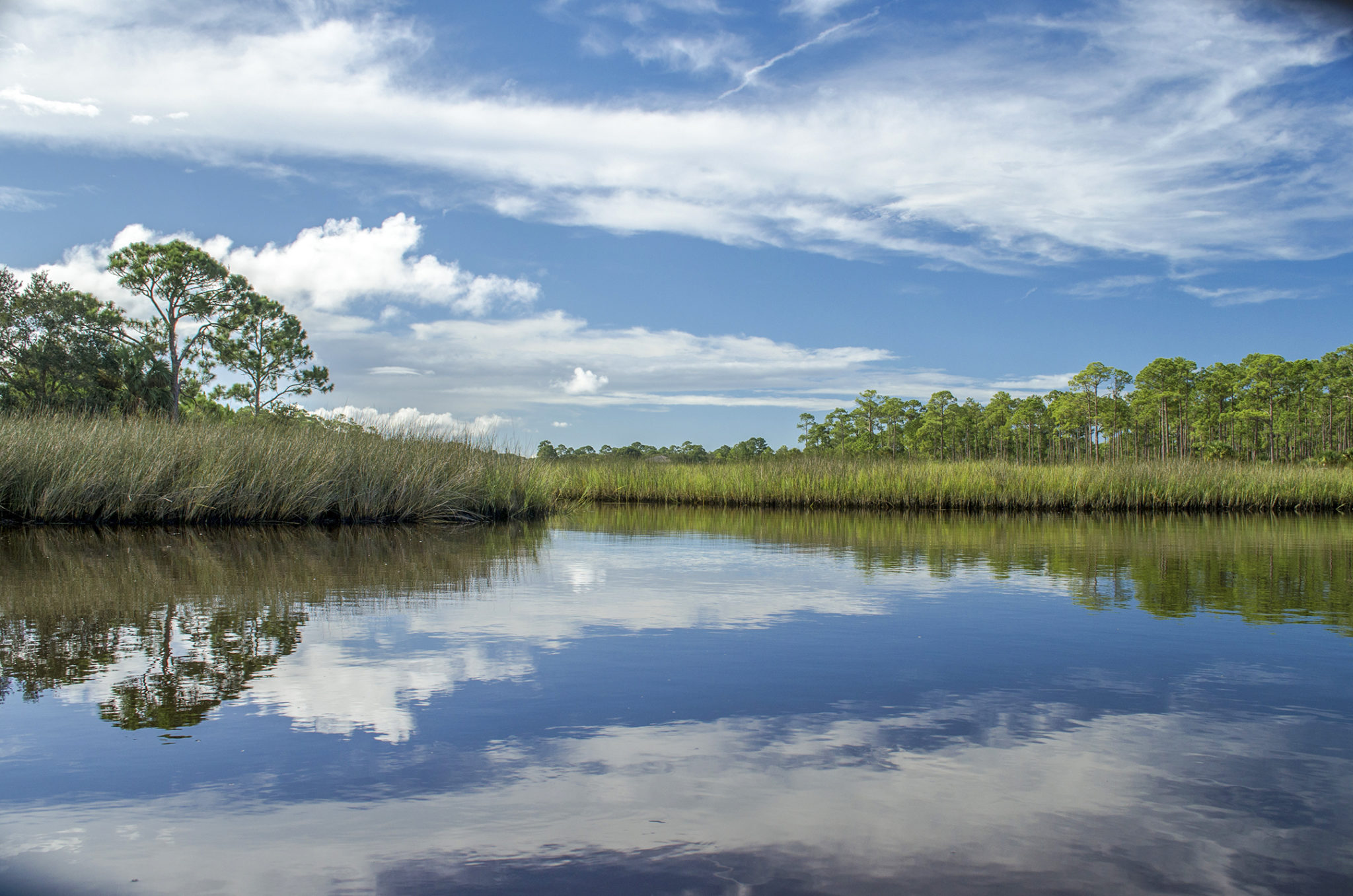
Upon entering Pellicer Creek, I was immediately greeted by several Blue Herons, one who flew directly in front of me, leading the way! I stayed along the southern shoreline of the creek, which at this point was about 1000′ across. The water was quite shallow, even 50′ from the shore. Beyond the border of Spartina Marsh Grass was a mixture of palms, some hardwoods and numerous pines. The water was calm with minimal current.
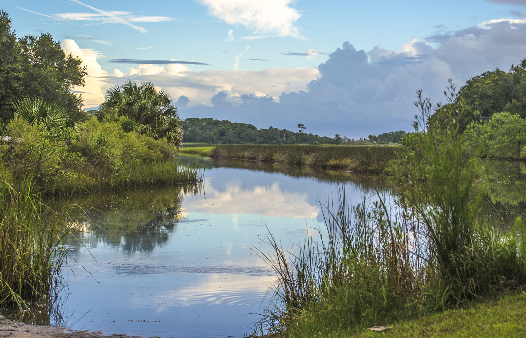
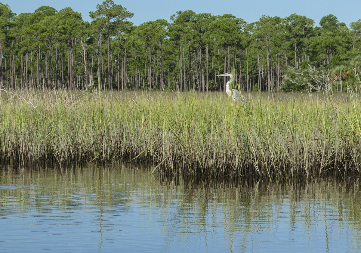
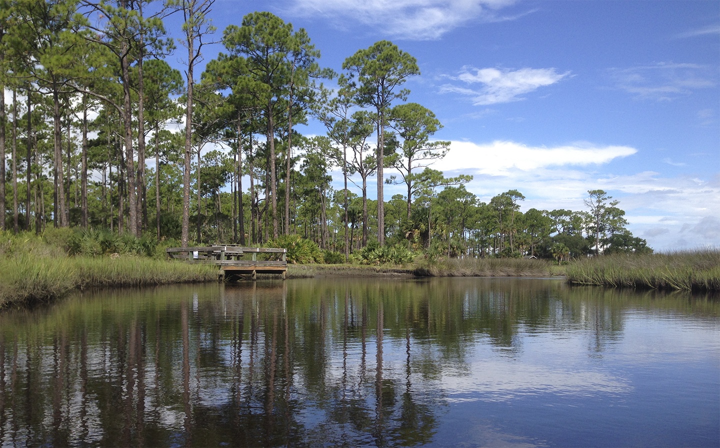
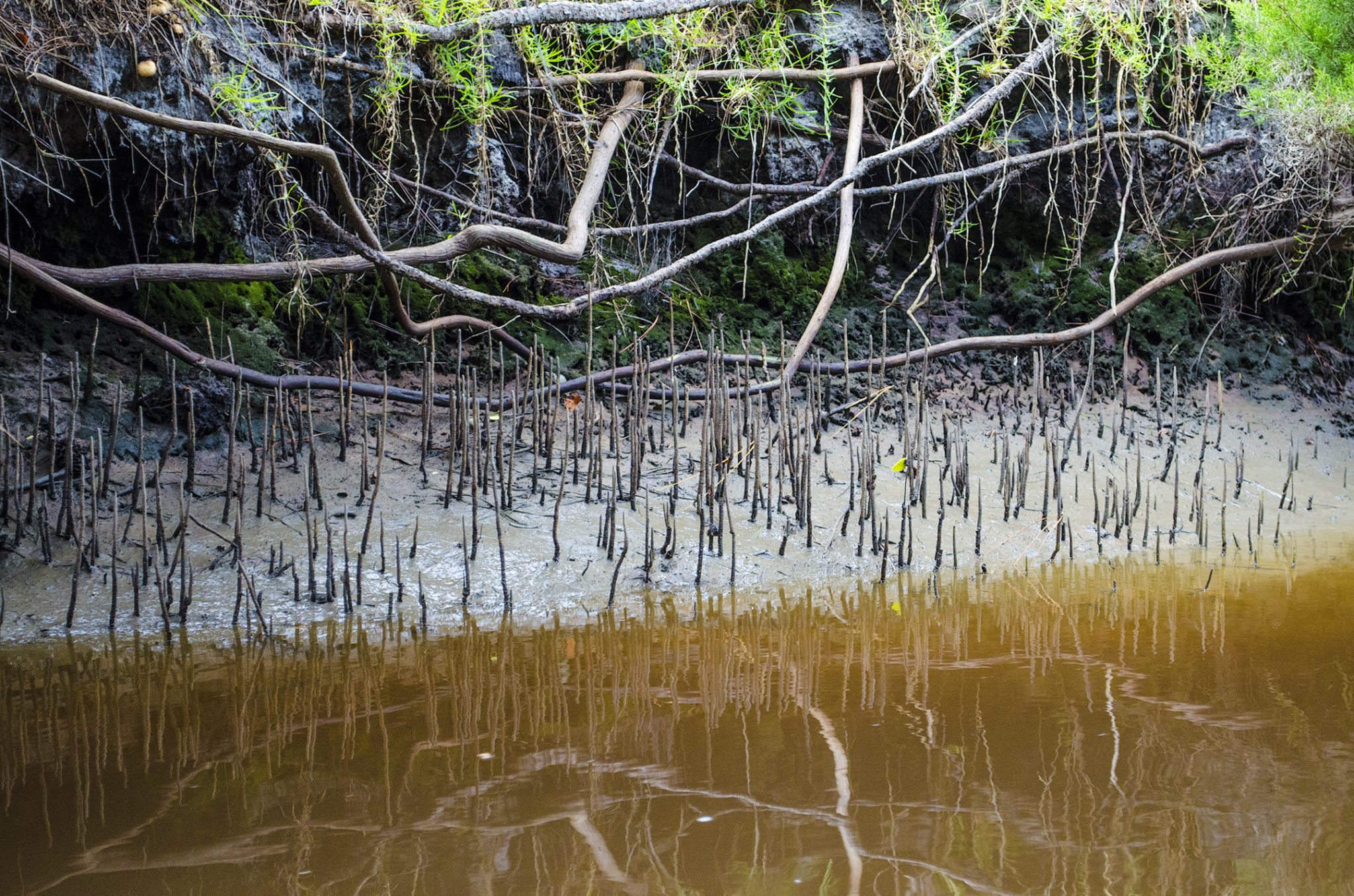
At mile 0.80, Styles Creek was evident to my left. Here I entered the creek, thickly bordered on both sides with Spartina, a blue sky, wistful white clouds and herons often hidden in the thick marsh grass. On the right at mile 1.22 was a nice picnic area that over looked both Styles Creek and Pellicer Creek. On the return paddle I stopped here to check it out. Styles Creek winds southward and at 1.25 mi it flows under the Princess Preserve Covered Bridge and soon forks…Styles Creek to the left, Hominy Branch to the right. The two split around an island with a private residence located along the northern part of the small island. It is here that a series of man made ditches create a patchwork of small waterways that drain the surrounding land, with Styles Creek ending within a mile south.
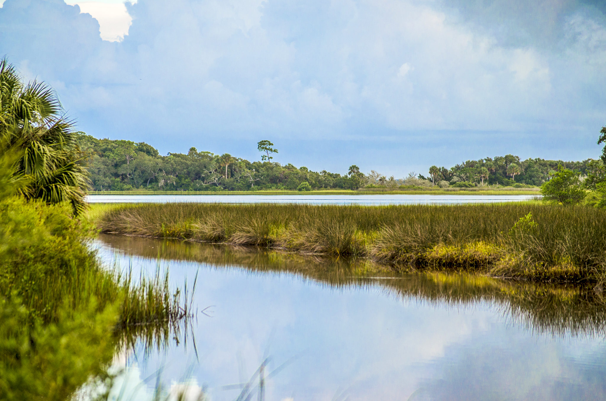
I paddled to the right at the fork, onto Hominy Branch just to explore a bit into the maze of marsh grass. At mile 1.65 I turned around and headed back. This area had a simple beauty of marsh grass, pines in the distance and open blue skies.

Pellicer Flats…
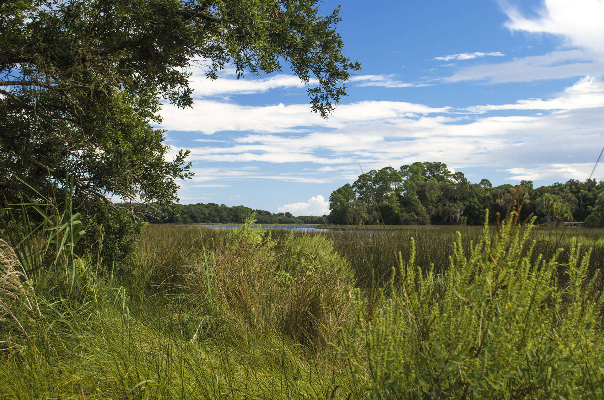
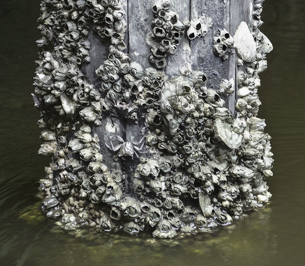
Upon returning to Pellicer Creek, I paddled East heading to Pellicer Flats to explore the lagoon area of the Matanzas River. There is a 1/4 mile connecting run, from the original launch run to Pellicer Flats. I paddle a shallow 30′ wide waterway, under a trail bridge encrusted with shells and lively with small crabs. The banks are lined with mangroves. The run opens up into the lagoons of Pellicer Flats, open, mangroves and numerous fish jumping.
I paddled South 1.5 miles through two larger lagoons connecting by waterways 100′ wide. This is the estuarine/riverine marsh area, very interesting. I turn around and return to the original launch at Princess Place Preserve. An interesting, explorative paddle into the side creeks and branches of Pellicer Creek. I will surely return again!
Additional Resources…Guides, Maps & Info…
- Pellicer Creek Paddle Guide, (pdf)…
- Pellicer Creek Topo Map…
- Styles Creek Topo Map…
- Hominy Branch Topo Map…
- Princess Place Preserve Brochure (pdf)…
![]()