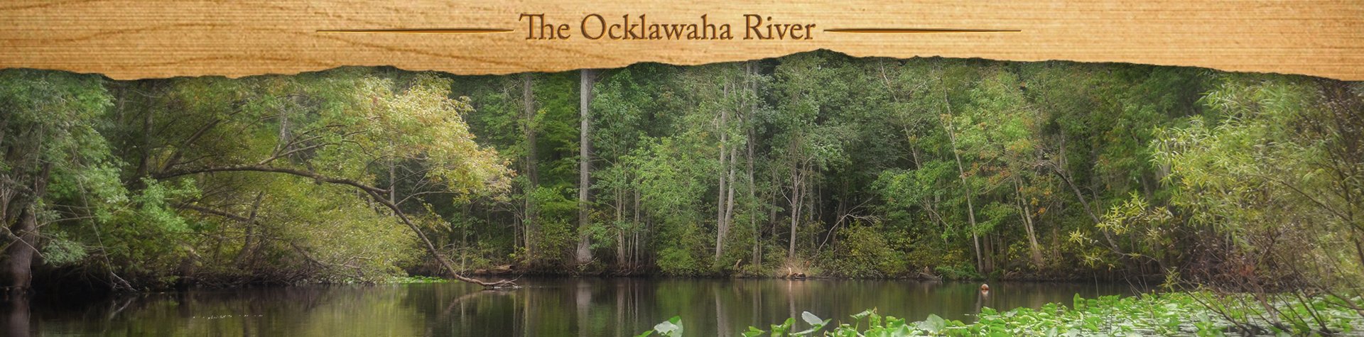
A Brief Overview

The Ocklawaha River is the principal tributary of the St. Johns River, and its main source is Lake Griffin, which is part of the Harris chain of lakes in Lake County, Florida. The Ocklawaha River watershed includes parts of the Green Swamp, most of Lake County, and portions of Marion, Alachua, and Putnam counties. The key tributary to the Ocklawaha is the Silver River, which originates in Silver Springs, Fl. The Ocklawaha River is also one of a few major rivers that flow south to north.
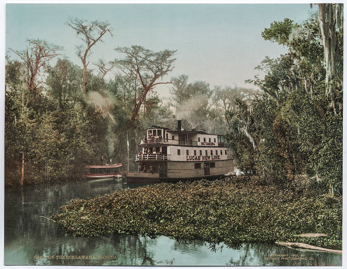
During the 1800s and early 1900s, steamboats populated the winding river, bringing folks from Palatka to Silver Springs. These boats were small and narrow in order to navigate the many twisting turns. The Hart Line was the most popular, as was Lucas Line as well. With the arrival of the railroad to Ocala, Florida the steamboat popularity declined. On many of today’s maps, several of the landings where the steamboats picked up passengers are still listed.
Marjorie Harris Carr, past president of Florida Defenders of the Environment played a key role in fighting against the continuing of The Florida Barge Canal through the Ocklawaha River.
The canal was intended to create a passage connecting the Atlantic Ocean with the Gulf of Mexico. This plan was first considered in 1567 by the founder of Spanish St. Augustine, Pedro Menendez de Aviles. You can read a brief history of this project here.
In January of 1971, a federal judge issued an injunction that stopped construction of the canal. This was immediately followed by President Richard Nixon officially halting construction due to the environmental damage it would cause. Today the Rodman Dam, now the Kirkpatrick Dam, is a reminder of the fight that continues to this day to have the dam removed. The fight to save the Ocklawaha River has inspired many artists, poets, and musicians over the years including Will McLean, Gamble Rogers, Don Grooms, and Whitey Markle.
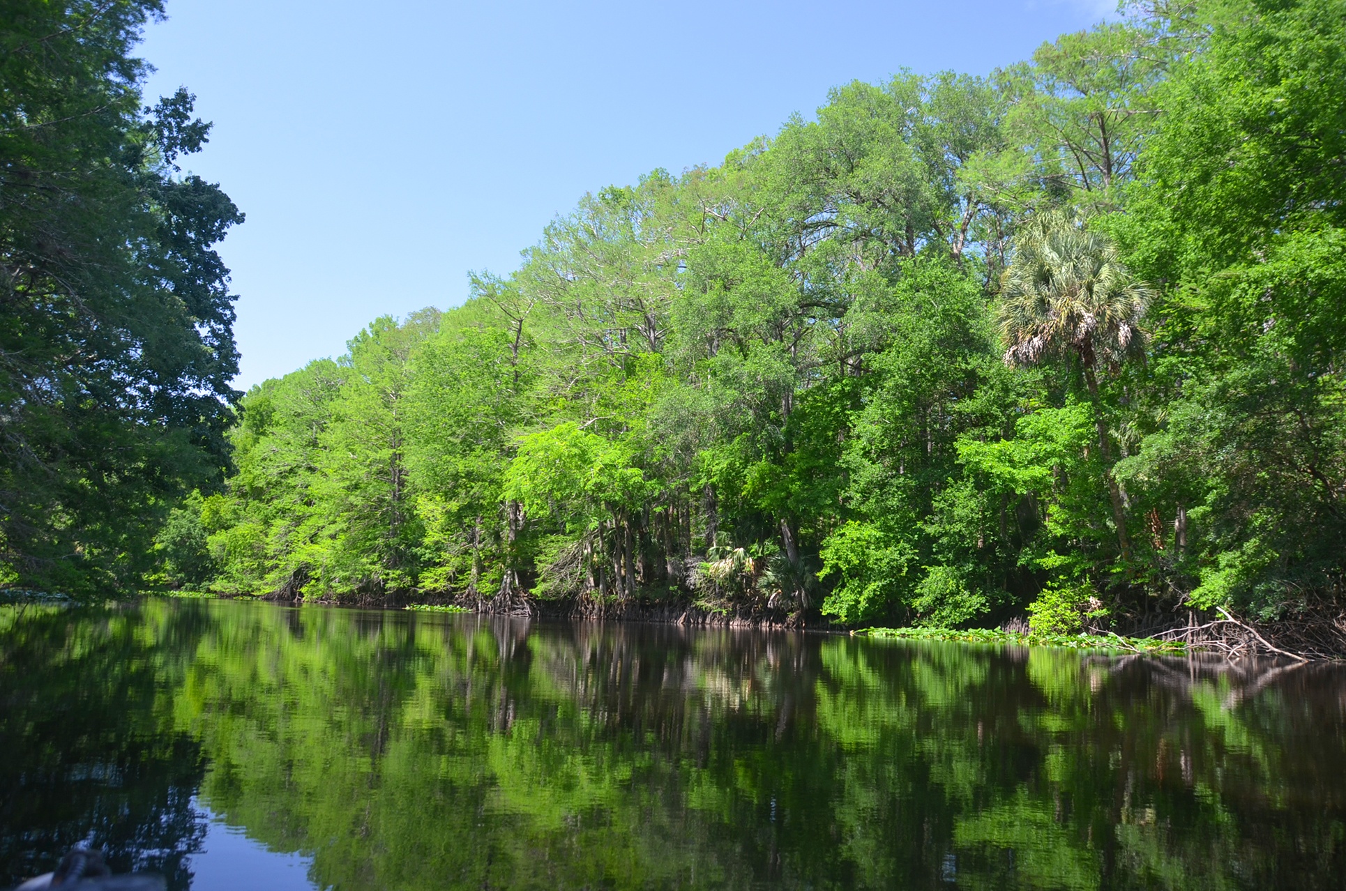
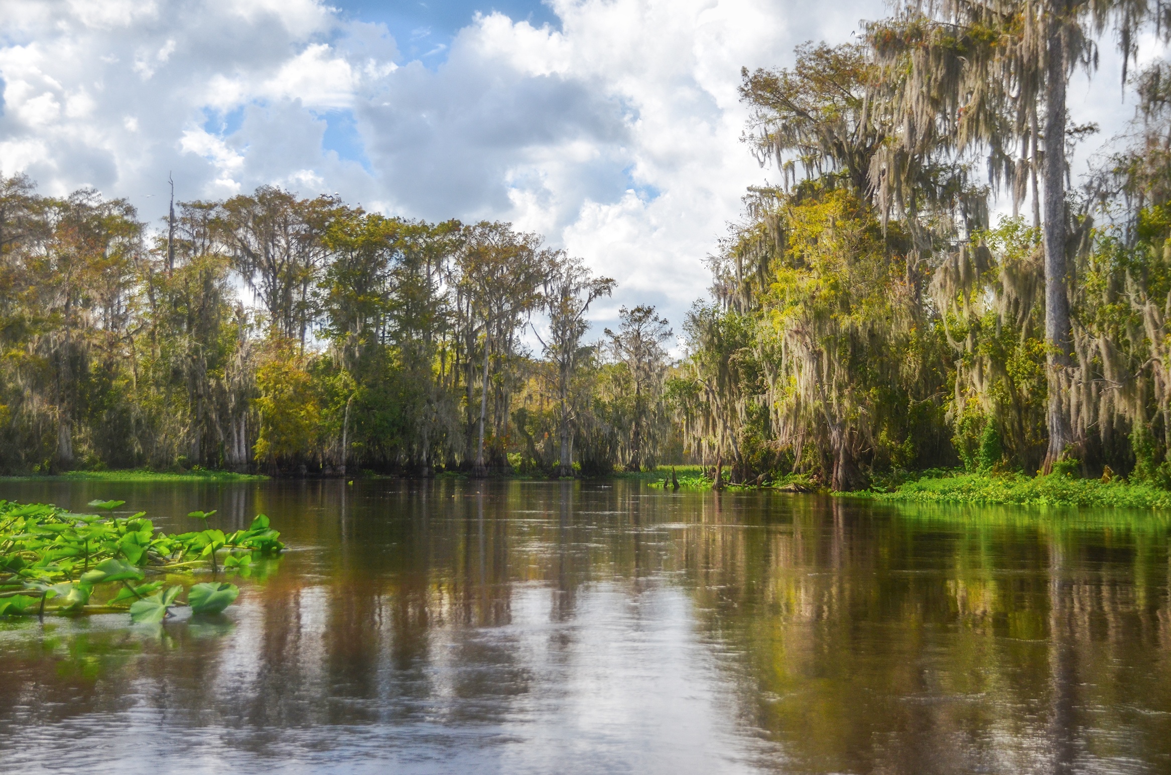
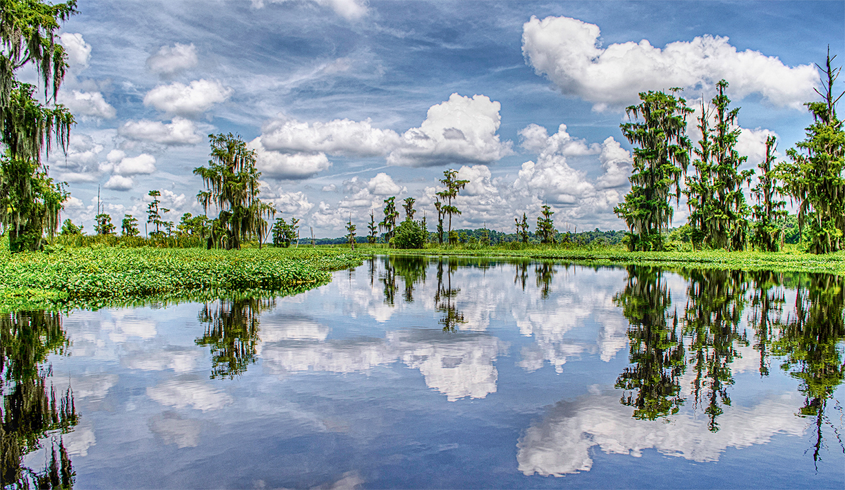
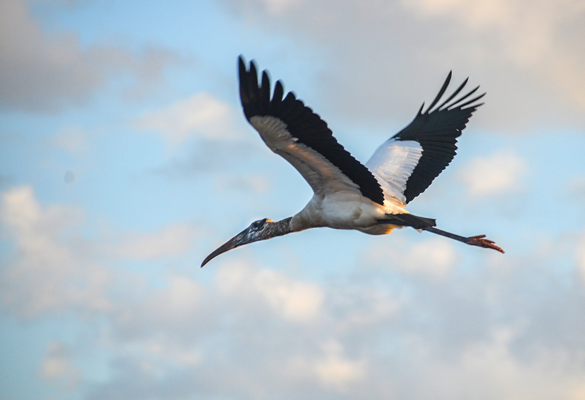
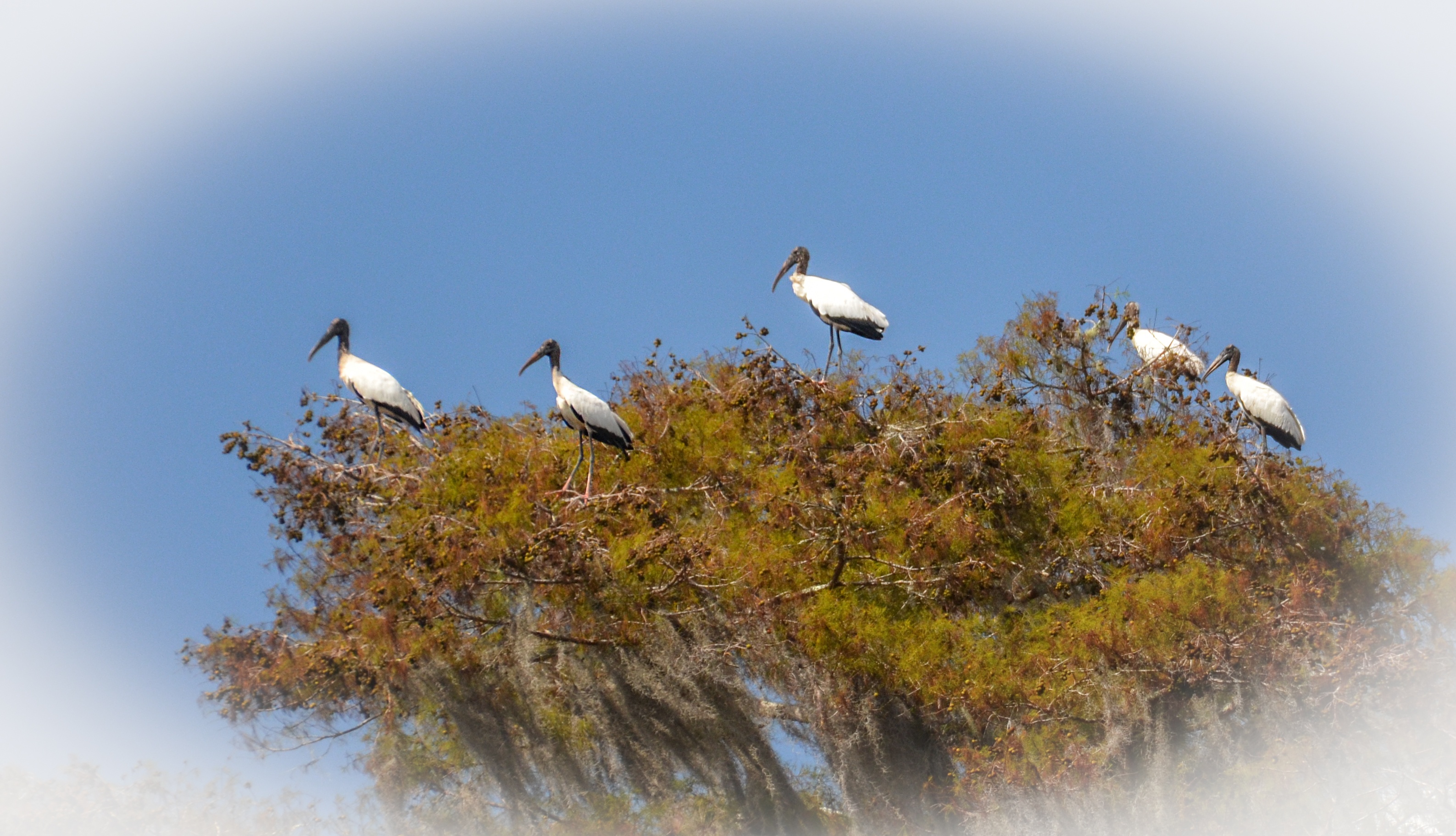
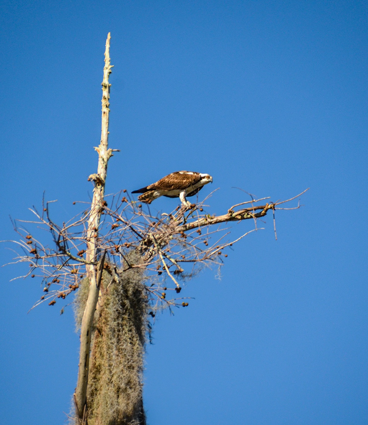
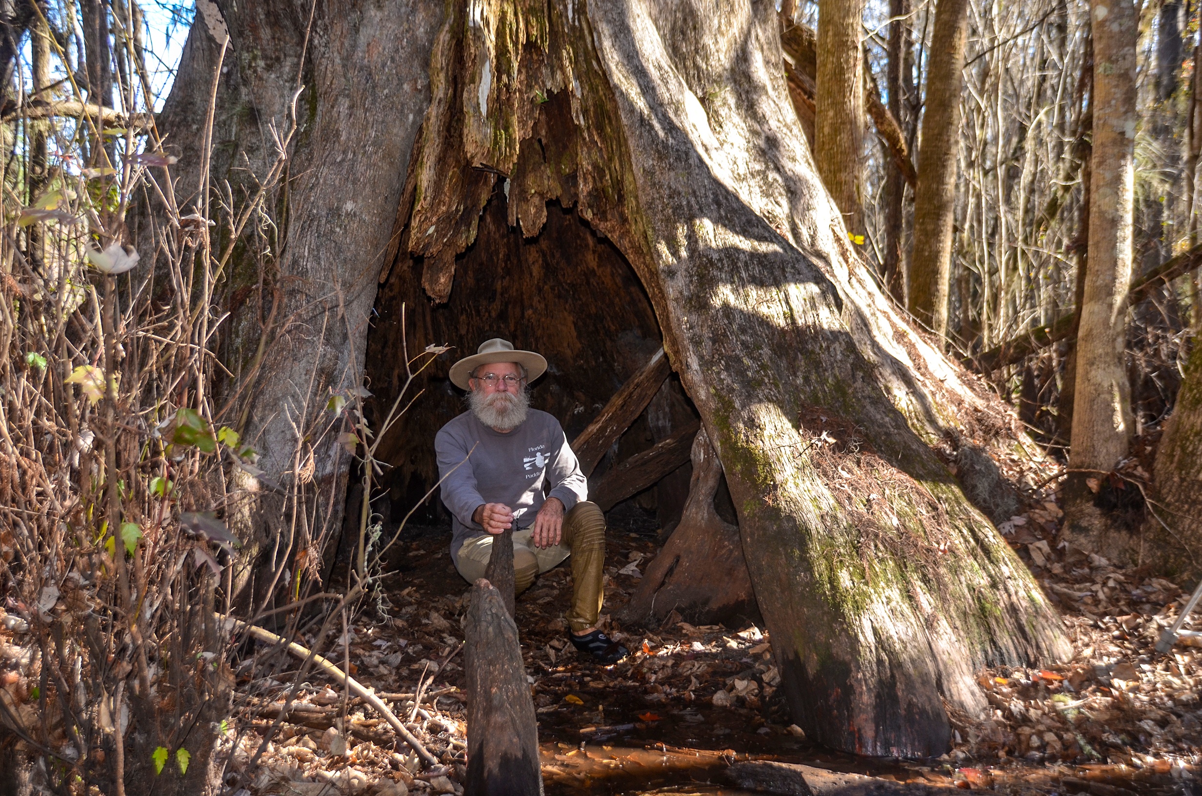
The 74-mile Ocklawaha River is a must-paddle for those interested in ‘Old Florida’. Its history is rich as are the wildlife and surrounding forests.
For an in-depth resource on the Ocklawaha River, see The Ocklawaha River Ecosystem by Florida Defenders of the Environment.
![]()
The Ocklawaha River is divided into three sections…The Upper Ocklawaha, considered the stretch from Lake Griffin, north to the Silver River, The Middle Ocklawaha, stretching from The Silver River north to the Eureka Dam, and the Lower Ocklawaha River, the 28-mile stretch from the Eureka Dam, north and east to the St Johns River. Below is an interactive Google map that has points of interests and distances along the river starting at Moss Bluff and continuing onto The St. Johns River. This is followed by posts of several paddles taken on these sections of the river…James
You can experience a larger version of this map here.
The Upper Ocklawaha
|
Ocklawaha River – Moss Bluff to Ray Wayside
|
Highlights of this section…
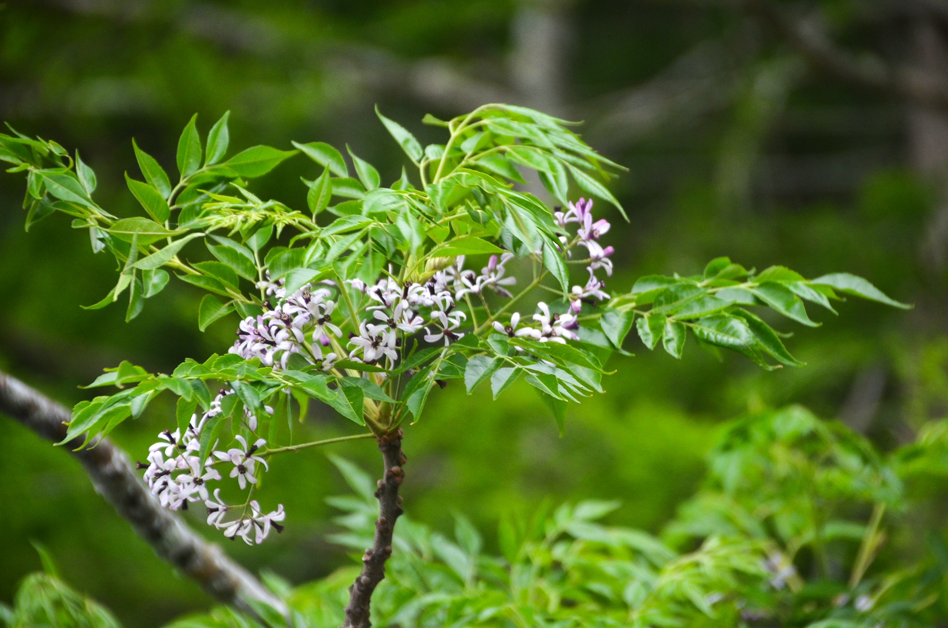
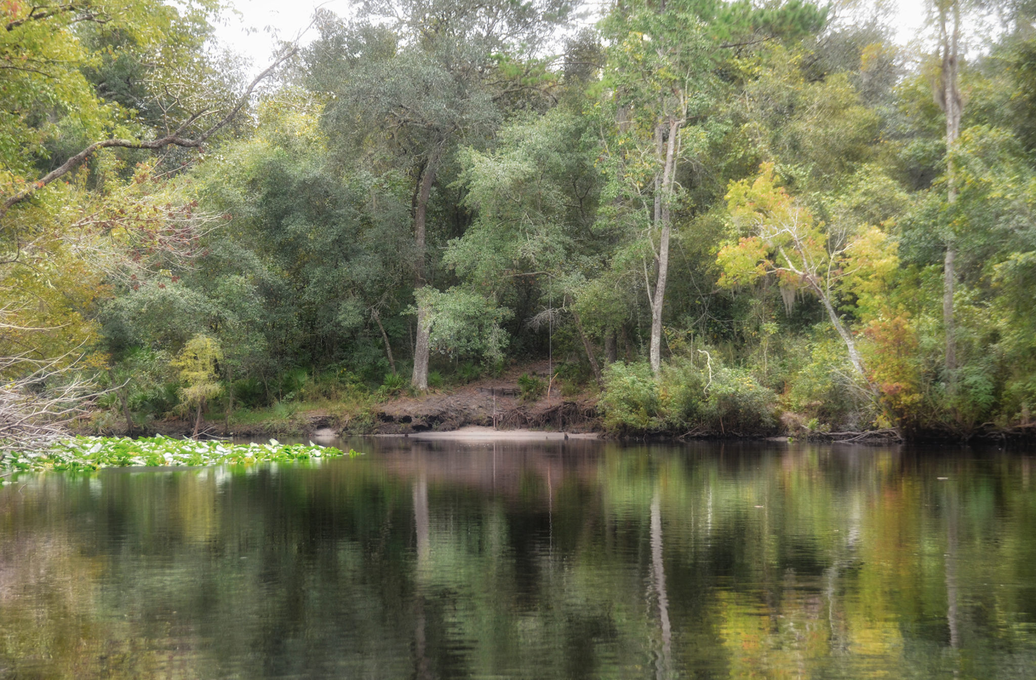
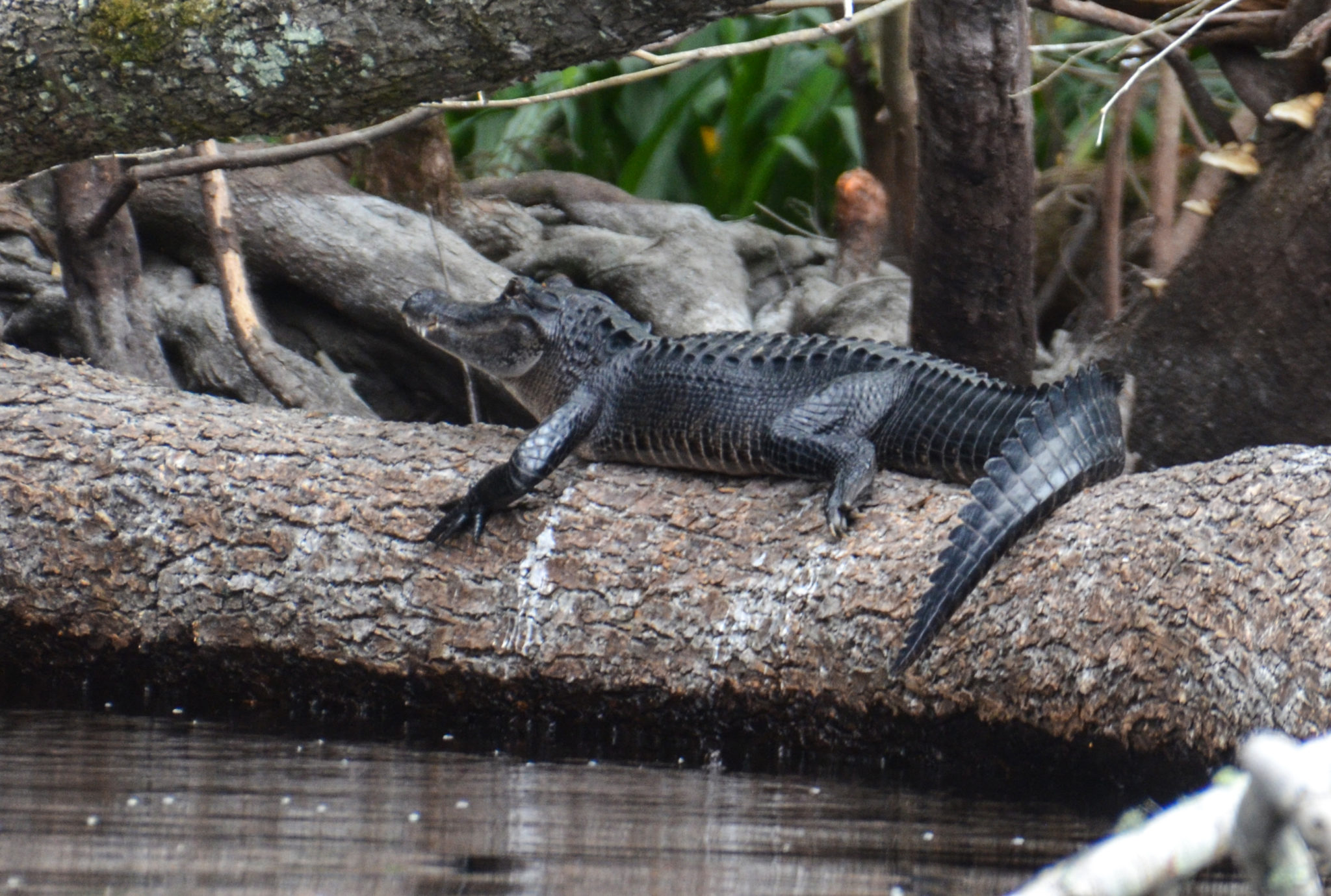
What was beautiful, on a rather unappealing paddle was the wall of Bald Cypress along the right bank with fresh green new leaves of Spring. Along the way, we viewed Herons, Chinaberry, Yellow Jasmine, Camphor Trees, Ceasarweed, and a few small gators. See complete paddle details and photos here… |

The Middle Ocklawaha
|
Ocklawaha River – Ray Wayside to Gore’s Landing
|
Highlights of this section…
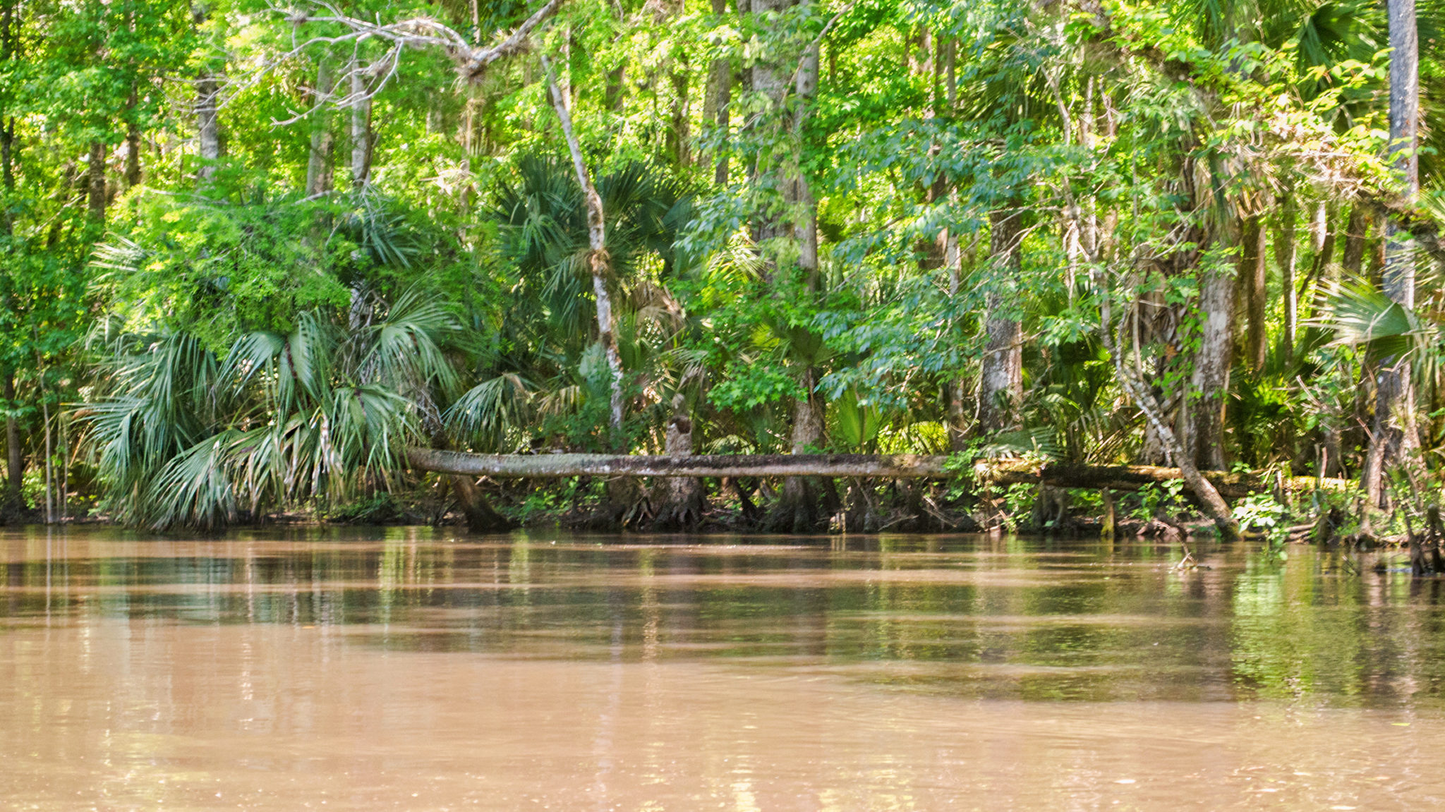
The flow is nice and the paddle is smooth as long as the trees have been cleared. On this trip, it was fine the entire route. Lots of winding turns, and several sections with high bluffs, especially at the 4-mile mark, a great place to take a break. At least 8 notable ‘Landings” See complete paddle details and photos here… |

|
Ocklawaha River – Gore’s Landing to Eureka East at HWY 316
|
Highlights of this section…
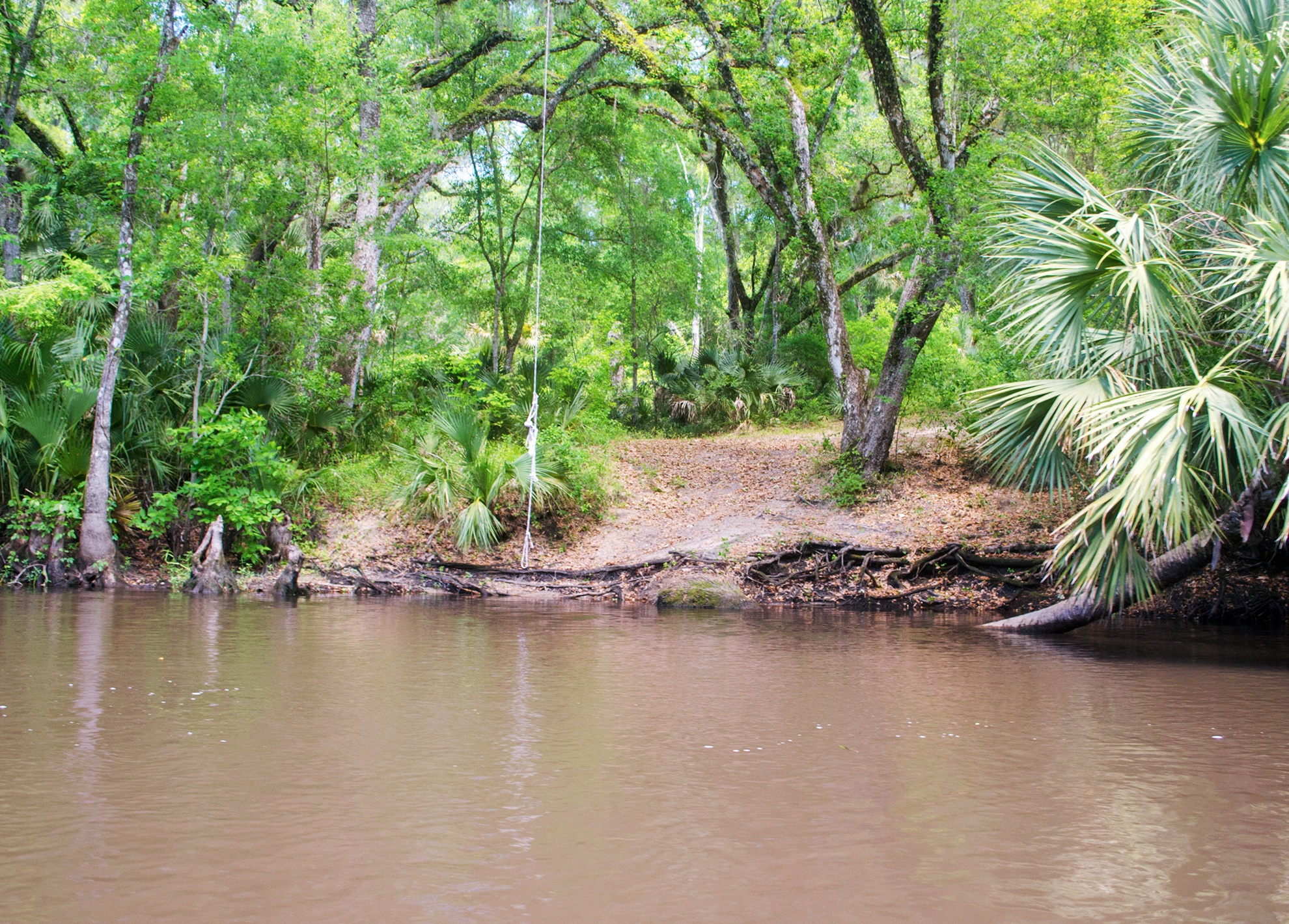
This is another nice section with a good canopy, but still, be on the lookout for downfall. There are nice rest stops at Sunday Bluff and Piney Island. See complete paddle details and photos here… |

The Lower Ocklawaha
|
Ocklawaha River – Eureka West to Payne’s Landing
|
Highlights of this section…
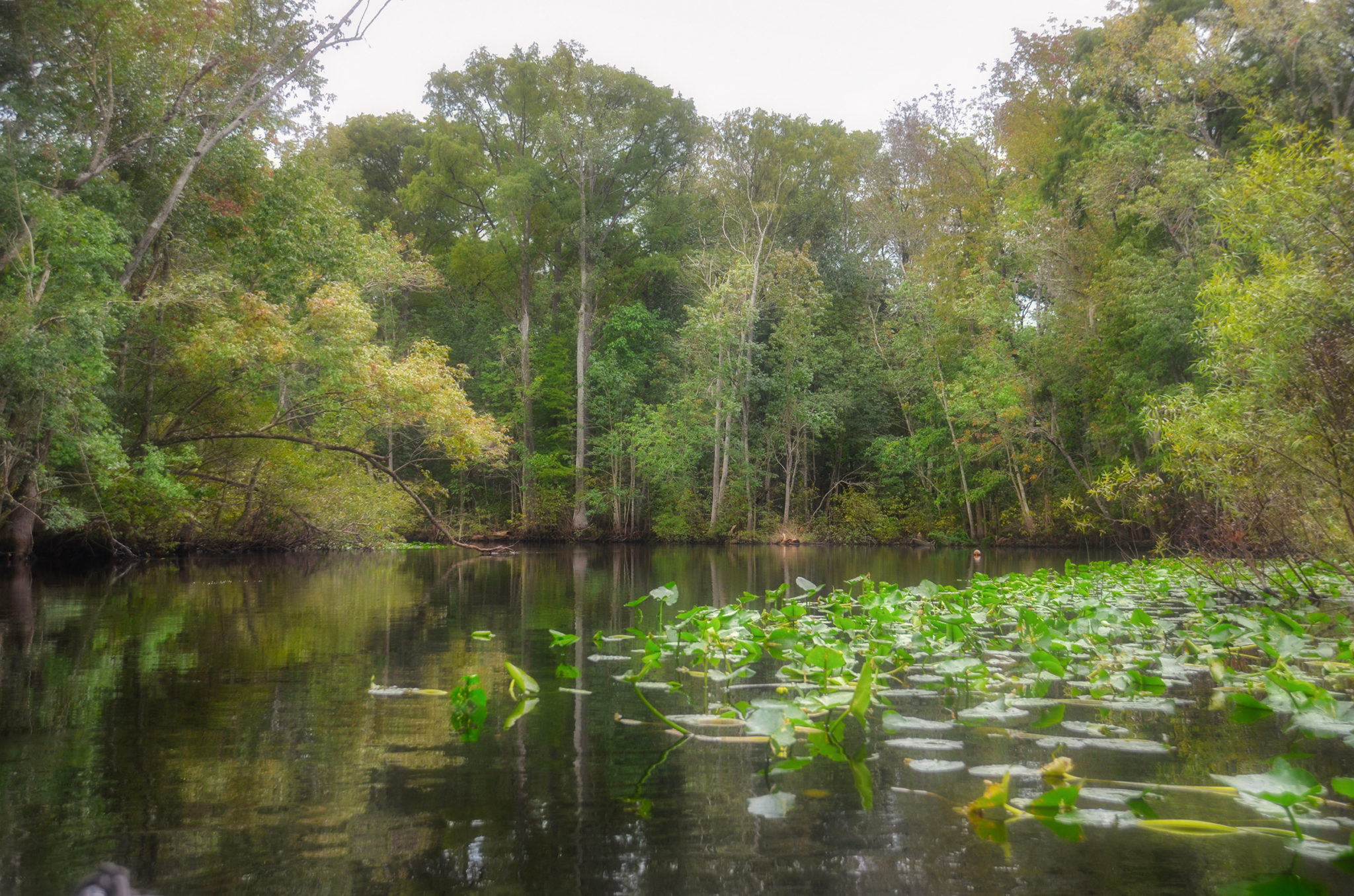
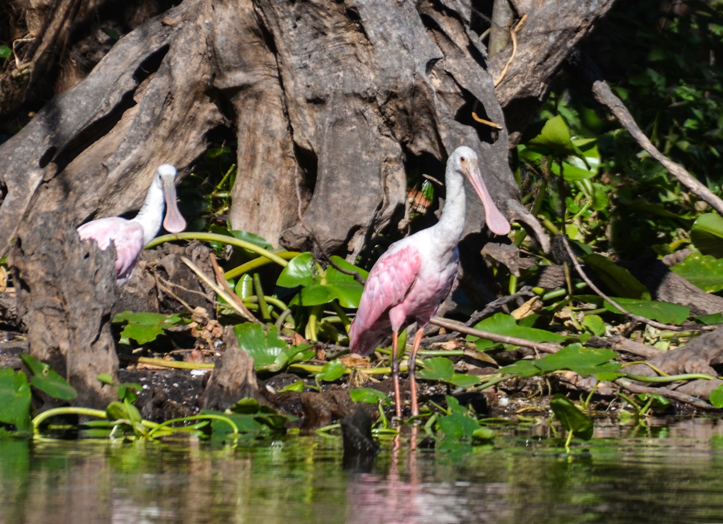
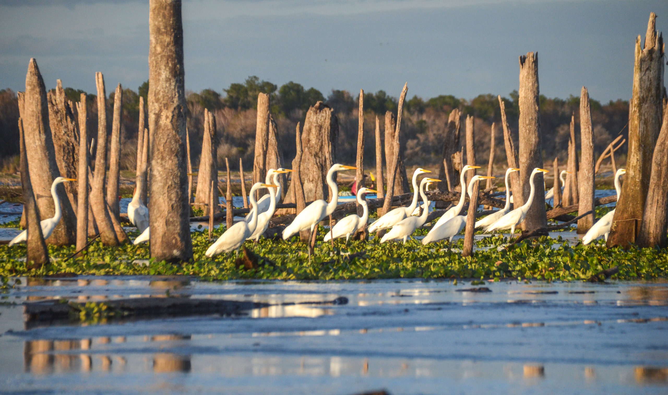
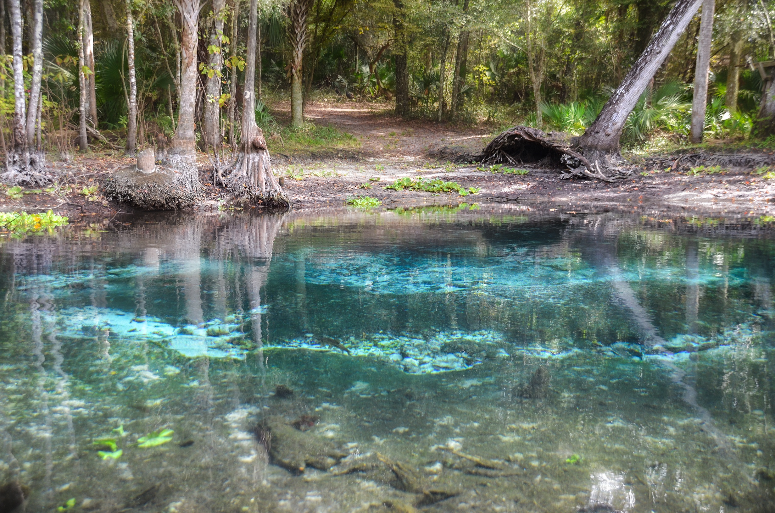
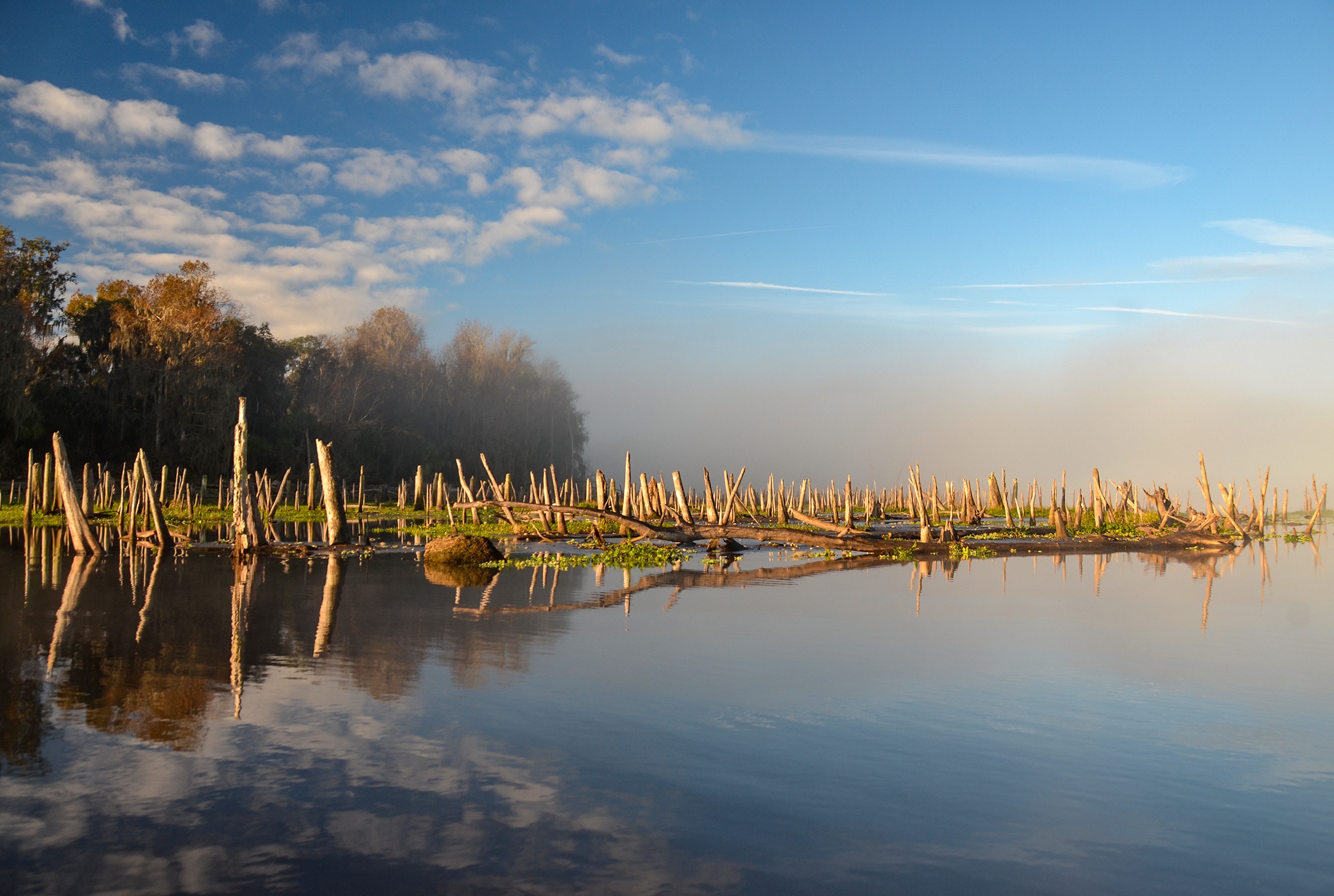
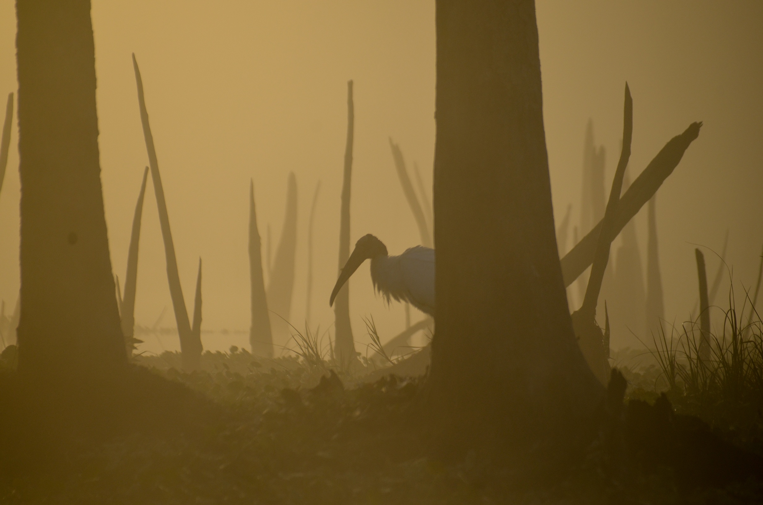
This is my favorite section of the Ocklawaha River. During a drawdown, two springs usually covered over are Cannon Springs and Tobacco Patch Landing Springs. Aside from these two treats, there are beautiful Cypress trees and numerous Ibis in this section. See complete paddle details and photos here… |

| Ocklawaha River – Payne’s Landing to Orange Springs
|
Highlights of this section…
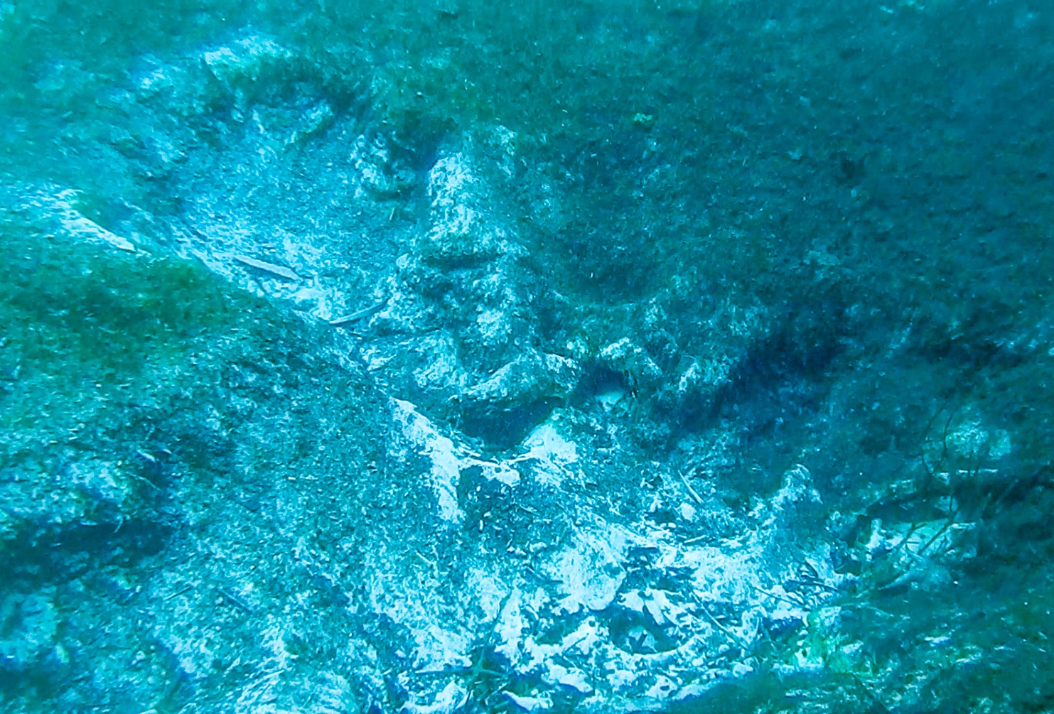
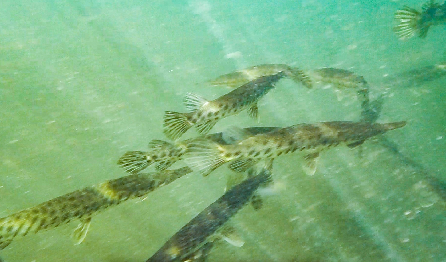
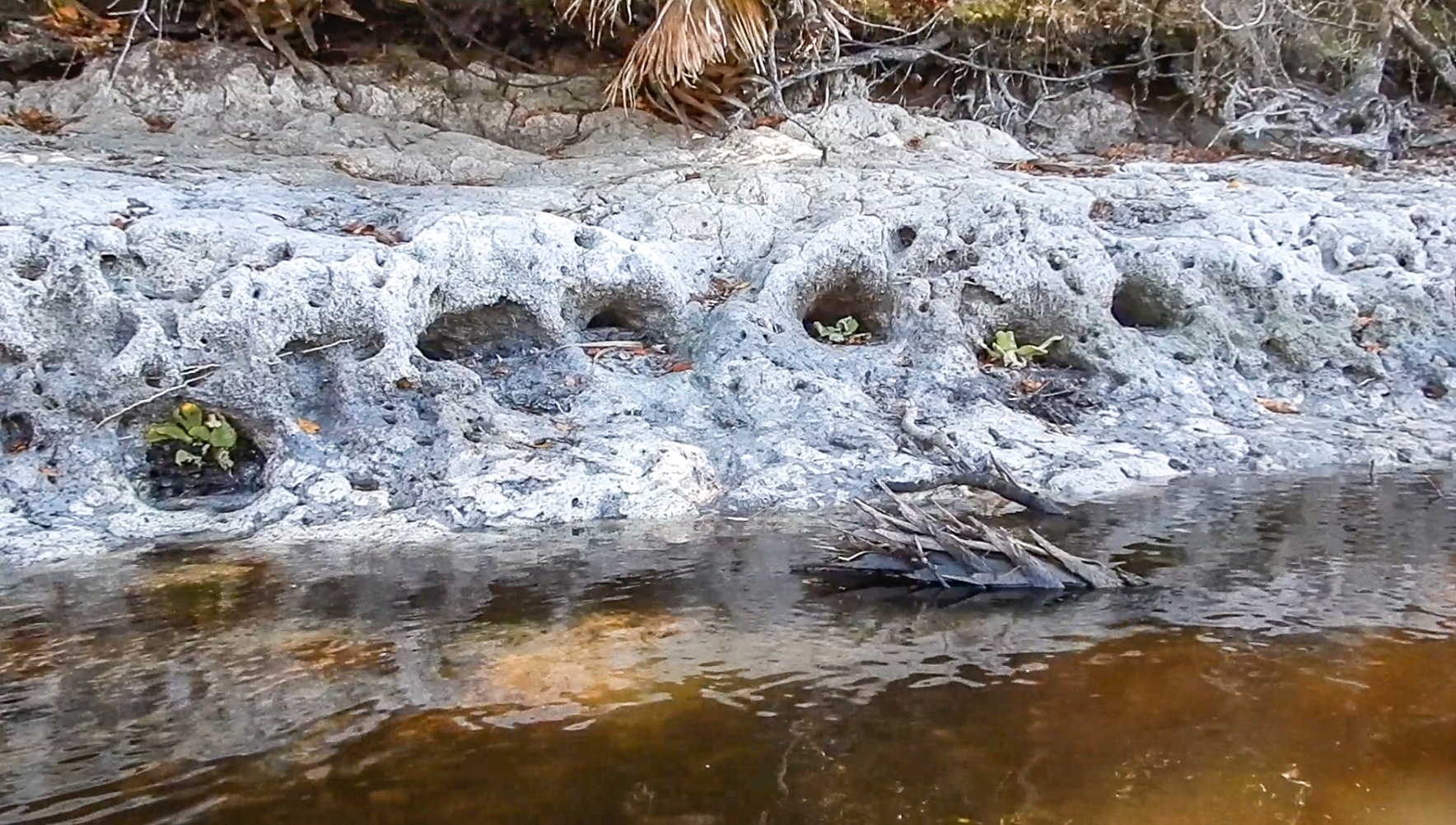
These are numerous burrowing holes made by the Suckermouth Catfish, often used in aquariums, Plecostomus spp. Paddling up toward Cracker Landing from Indian Bluff is Indian Bluff to Cracker Landing Springs. See complete paddle details and photos here… |

| Ocklawaha River – Orange Springs to Rodman Dam – The Orange Springs launch is quite often clogged with aquatic weeds, so I do not have a paddle specifically for this section. This section is covered in my posts about the drawdown, |
| Ocklawaha River – Rodman Dam to US HWY 19
|
Highlights of this section…
Davenport Landing is the site of an old riverboat stop as well as an Indian Burial Mound. This was the last high bluff on the river and steamboats stocked up on lumber for their boilers and food. The ‘Landing Master‘ was Thomas C. Fillyaw, Confederate Corporal who died in 1873 and was buried at the landing. See complete paddle details and photos here… |

Ocklawaha River – US HWY 19 to Bear Creek Loop

|
Highlights of this section…
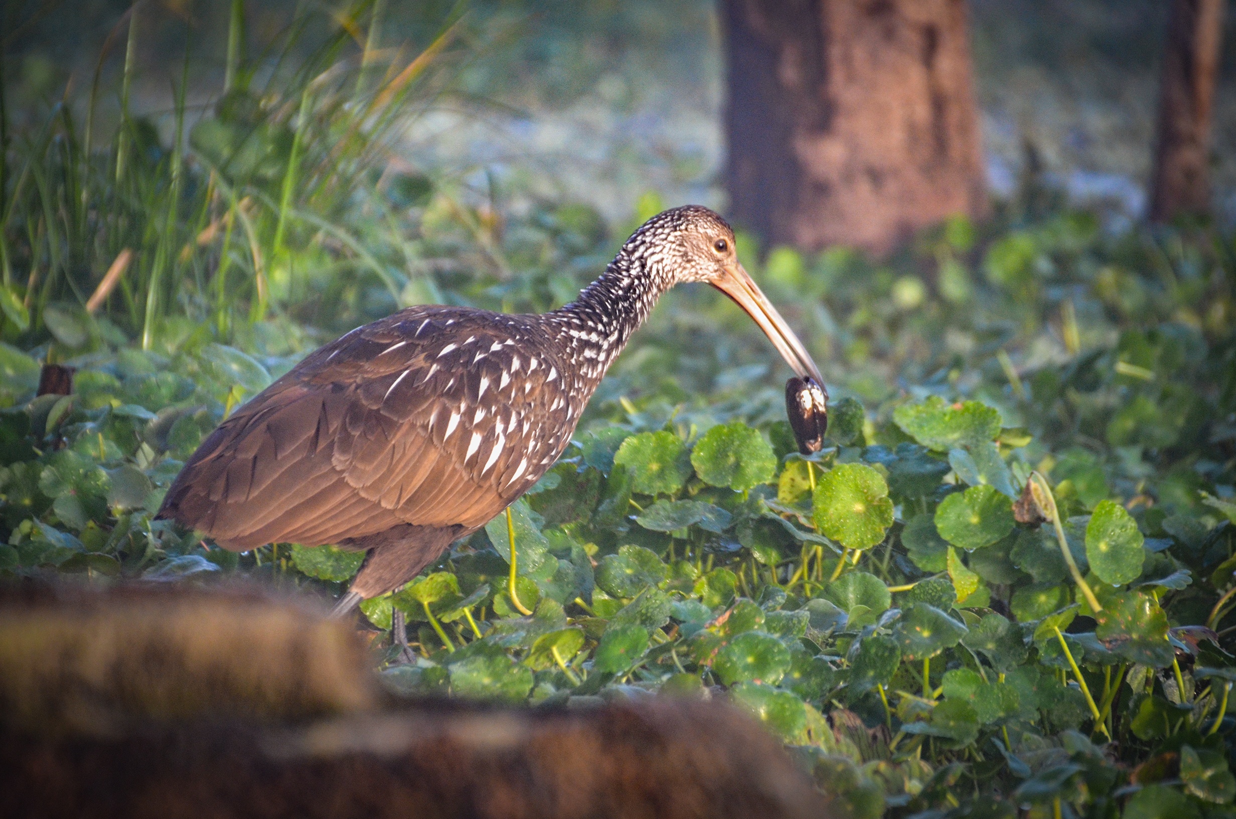
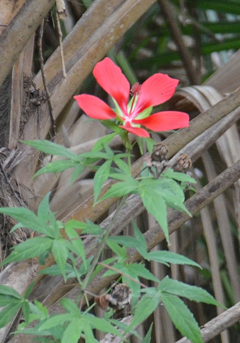
Numerous gators as well as native Mallows in bloom during the summer. See complete paddle details and photos here…
|
| Ocklawaha River – Rodman Dam to St Johns River
|
Highlights of this section…
Davenport Landing is the site of an old riverboat stop as well as an Indian Burial Mound. The ‘Landing Master‘ was Thomas C. Fillyaw, Confederate Corporal who died in 1873 and was buried at the landing. Numerous gators as well as native Mallows in bloom during the summer. See complete paddle details and photos here… |

Additional posts on the Ocklawaha River can be read here…
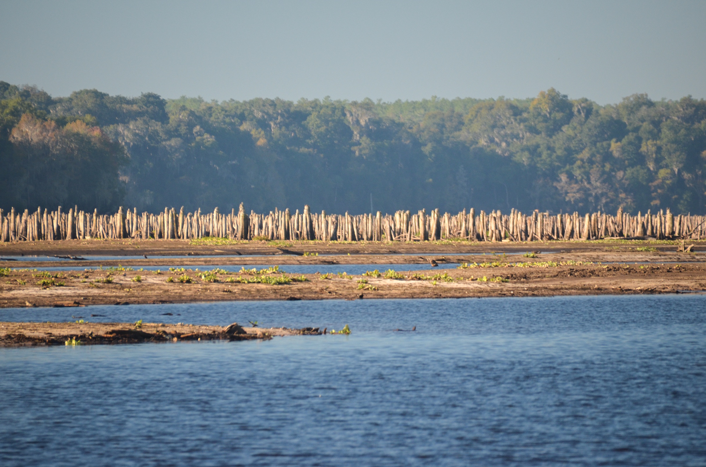
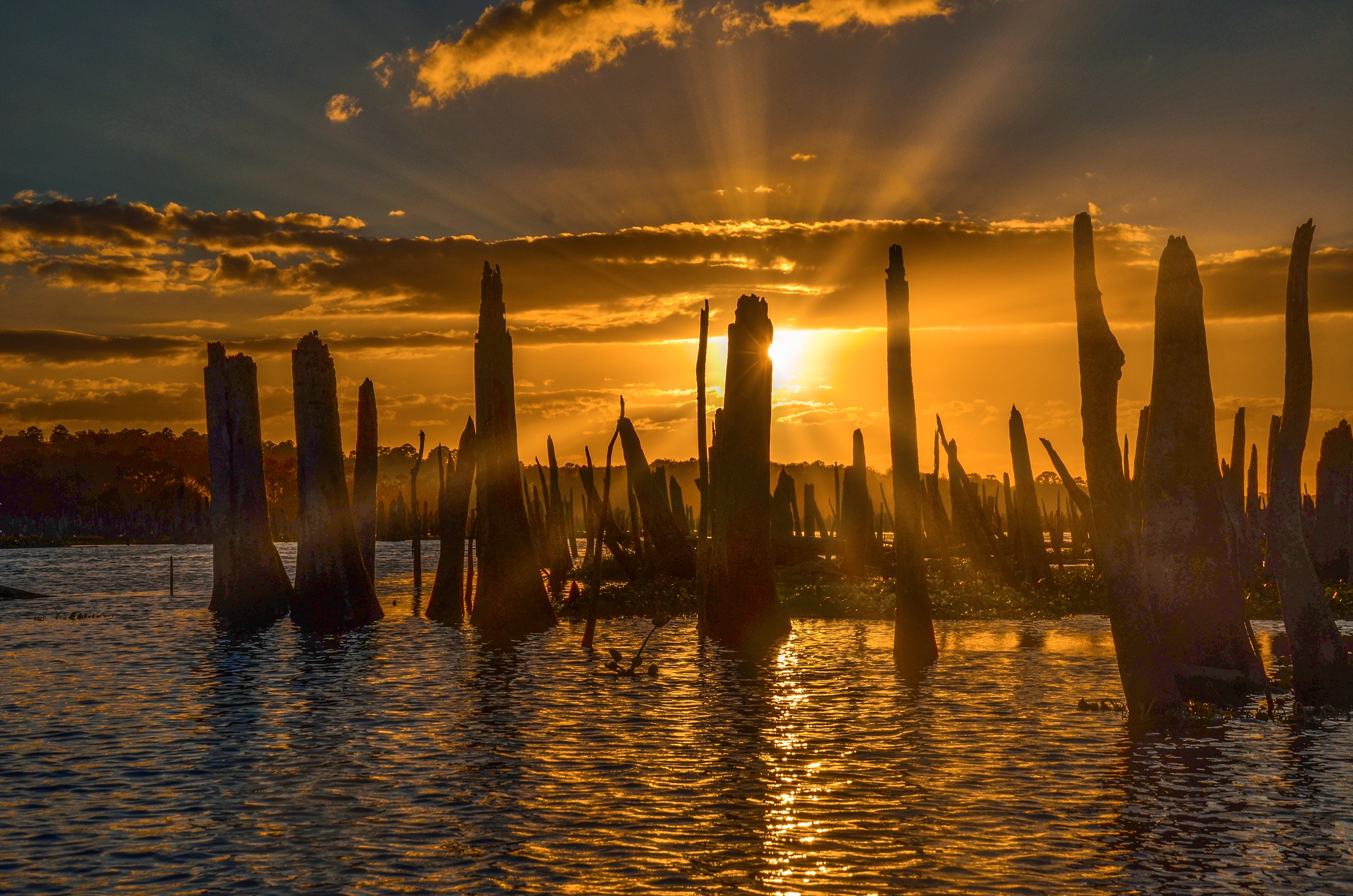
The Ocklawaha Drawdown

Every three to four years, the water level in Rodman Reservoir is decreased by approximately 10 feet using drawdowns. This process usually takes seven months. During this time, most of the littoral zones, or shallow water areas, are drained and exposed to direct sunlight and air for six months. Consequently, aquatic plants such as hydrilla (Hydrilla verticillata), coontail (Ceratophyllum demersum), eelgrass (Vallisneria americana), water lettuce (Pistia stratiotes), and water hyacinth (Eichhornia crassipes) dry out and die. Previous drawdown research has shown that, if properly timed, two or more drawdown cycles can significantly reduce the amount of hydrilla biomass in a system.
Drawdowns on Rodman Reservoir are carefully planned between the U.S. Army Corps of Engineers, Florida Department of Environmental Protection (DEP), Florida Fish and Wildlife Conservation Commission (FWC), and water management districts, with careful consideration not to disturb or damage fragile or protected habitats. ( Olivia Doyle – UF/IFAS Center For Aquatic And Invasive Plants )
The 2020 Ocklawaha Drawdown is Over
Ocklawaha River Drawdown – Sunrise Photos
Ocklawaha Photo Gallery…


Guides, Maps & Info…
- Moss Bluff Topo Map…
- Ocklawaha Water Level Info at Moss Bluff…
- Ocklawaha Prairie Restoration…
- Florida Defenders of the Environment – Remembering the Ocklawaha…
- Ocklawaha River – Remembered-Imagined…
- North Star Charters…Capt. Karen Chadwick…
- History of The Florida Barge Canal…
- The Ditch of Dreams…
- History – Treaty of Paynes Landing…
- Ocklawaha Canoe Outpost & Resort…
- The Springs of the Ocklawaha River, Florida: Rodman Dam to Eureka Dam…
- An Ocklawaha River Information Mini-Page…
- Whitey Markle on the Ocklawaha River…
- Searching for—and Finally Finding—Cannon Springs, by Whitney Sanford…
- Save Rodman Reservoir, Inc…
- Free the Ocklawaha, Info and Videos…
- Additional Ocklawaha River posts by Florida Paddle Notes…
![]()