
The last time I paddled the Upper Santa Fe River and Olustee Creek was back in February ( You can read about that paddle here ). The trees were still bare but it was a great first visit to this section of the river. Today Florida Paddle Notes revisited the same route on what started out a beautiful sunny summer day and finished with a typical Florida thunderstorm. A very enjoyable paddle! …James
![]()
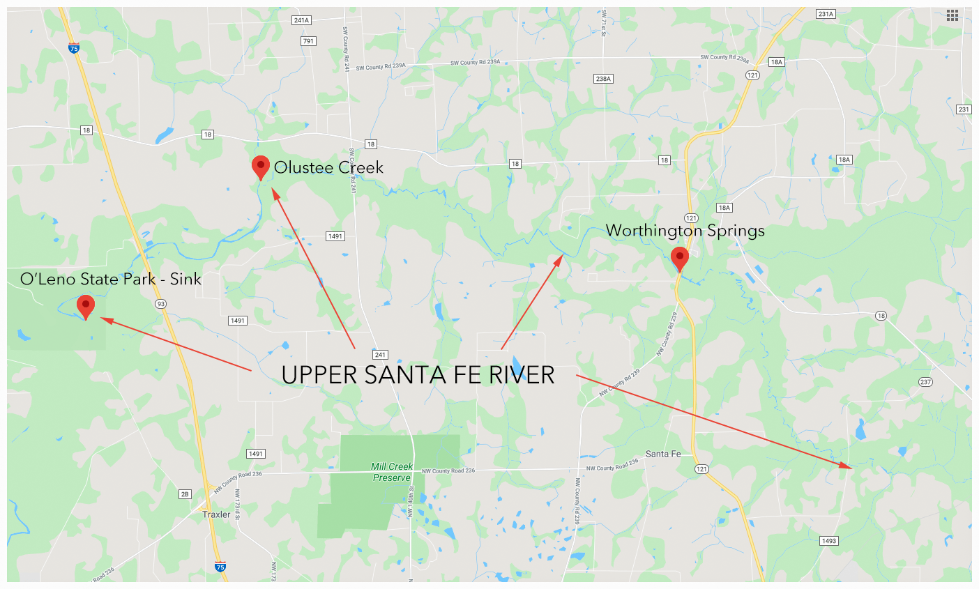
The Upper Santa Fe River is a section of the river both upstream and immediately downstream from the gauge located at Worthington Springs. This section is pretty much undeveloped. Two main tributaries to the river are Olustee Creek, entering the Santa Fe about 9.5 miles downstream from Worthington Springs and Santa Fe Spring, another 1/2 mile further. Santa Fe Spring is a 1st Magnitude spring, located on the northern bank of the river and both the spring and Oulstee Creek are normally slow moving.
The Upper Santa Fe River continues in a southwesterly direction from Santa Fe Spring where 4.75 miles downstream, it eventually sinks underground at O’Leno State Park. Of historical note, a Spanish mission Santa Fe de Toloca was established in the very early 1600’s, founded by Franciscan Father Martín Prieto. “…Like other Spanish missions in Florida, Santa Fe de Toloca would have been established in or near an existing Timucua village, belonging either to the Potano or the Northern Utina tribe. A village site next to the mission archeological site may have been Cholupaha, visited by the de Soto Expedition in 1539″…Wikipedia.
The location of Santa Fe de Toloca is about 1/2 mile southeast of Santa Fe Spring.
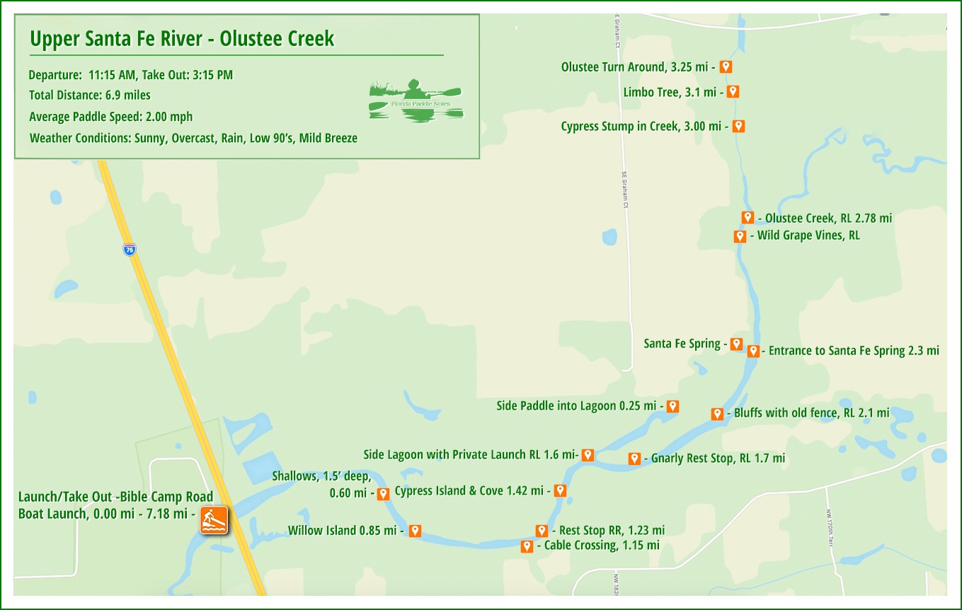
Upper Santa Fe – Olustee Creek Paddle Map…
Santa Fe/Olustee Details:
![]() Location: The Upper Santa Fe River is considered that section of the river both upstream and downstream for Worthington Springs…(Upper Santa Fe River map).
Location: The Upper Santa Fe River is considered that section of the river both upstream and downstream for Worthington Springs…(Upper Santa Fe River map).
![]() Launch point and Take out: The launch and take for this paddle is Bible Camp Road Boat Launch, located at the end of Bible Camp Road, High Springs, 32643.
Launch point and Take out: The launch and take for this paddle is Bible Camp Road Boat Launch, located at the end of Bible Camp Road, High Springs, 32643.
![]() Paddle Distance: 6.8 miles, includes a look around at Santa Fe Spring.
Paddle Distance: 6.8 miles, includes a look around at Santa Fe Spring.
![]() Difficulty: Easy…however at low water levels, accessibility may present a problem! Today the water level was about the same level as back in February.
Difficulty: Easy…however at low water levels, accessibility may present a problem! Today the water level was about the same level as back in February.
 Average Paddle Speed: 2.00 mph.
![]() Width and Depth: The Santa Fe River, at the launch is around 150′ wide, narrowing to 75′ at the confluence to Olustee Creek. Olustee Creek begins with an 85′ opening but quickly narrows to a winding 20′ wide. The depth of both waterways was quite shallow, the Santa Fe, under 4′ and in sections, 2′, while Olustee Creek was at most 2′ deep and at a couple of spots, a mere 6″.
Width and Depth: The Santa Fe River, at the launch is around 150′ wide, narrowing to 75′ at the confluence to Olustee Creek. Olustee Creek begins with an 85′ opening but quickly narrows to a winding 20′ wide. The depth of both waterways was quite shallow, the Santa Fe, under 4′ and in sections, 2′, while Olustee Creek was at most 2′ deep and at a couple of spots, a mere 6″.
![]() Current – Tidal: Current, very slow-moving
Current – Tidal: Current, very slow-moving
![]() Side Paddles: At mile marker 1.6 there is a lagoon on river left that is about a 1/4 mile long. We explored this back in February and decided to pass on this paddle. Around mile 2.3 on RL is the entrance to Santa Fe Spring, which we entered the 125′ run and explored this spring. At mile 2.78 Olustee Creek enters the river. In Feb. we were able to paddle up about 0.33 mile and due to the low water, we decided to turn back. Today we were able to get up 0.42 miles before coming to a large exposed rock island. Less than 50′ past this rock was a definite blockage of trees, so we turned around here.
Side Paddles: At mile marker 1.6 there is a lagoon on river left that is about a 1/4 mile long. We explored this back in February and decided to pass on this paddle. Around mile 2.3 on RL is the entrance to Santa Fe Spring, which we entered the 125′ run and explored this spring. At mile 2.78 Olustee Creek enters the river. In Feb. we were able to paddle up about 0.33 mile and due to the low water, we decided to turn back. Today we were able to get up 0.42 miles before coming to a large exposed rock island. Less than 50′ past this rock was a definite blockage of trees, so we turned around here.
![]() Rest Areas: There are no bathroom facilities at the launch but there are several secluded spots there as well as along the river to rest and heed nature’s call if need be.
Rest Areas: There are no bathroom facilities at the launch but there are several secluded spots there as well as along the river to rest and heed nature’s call if need be.
Bible Camp Road Launch:
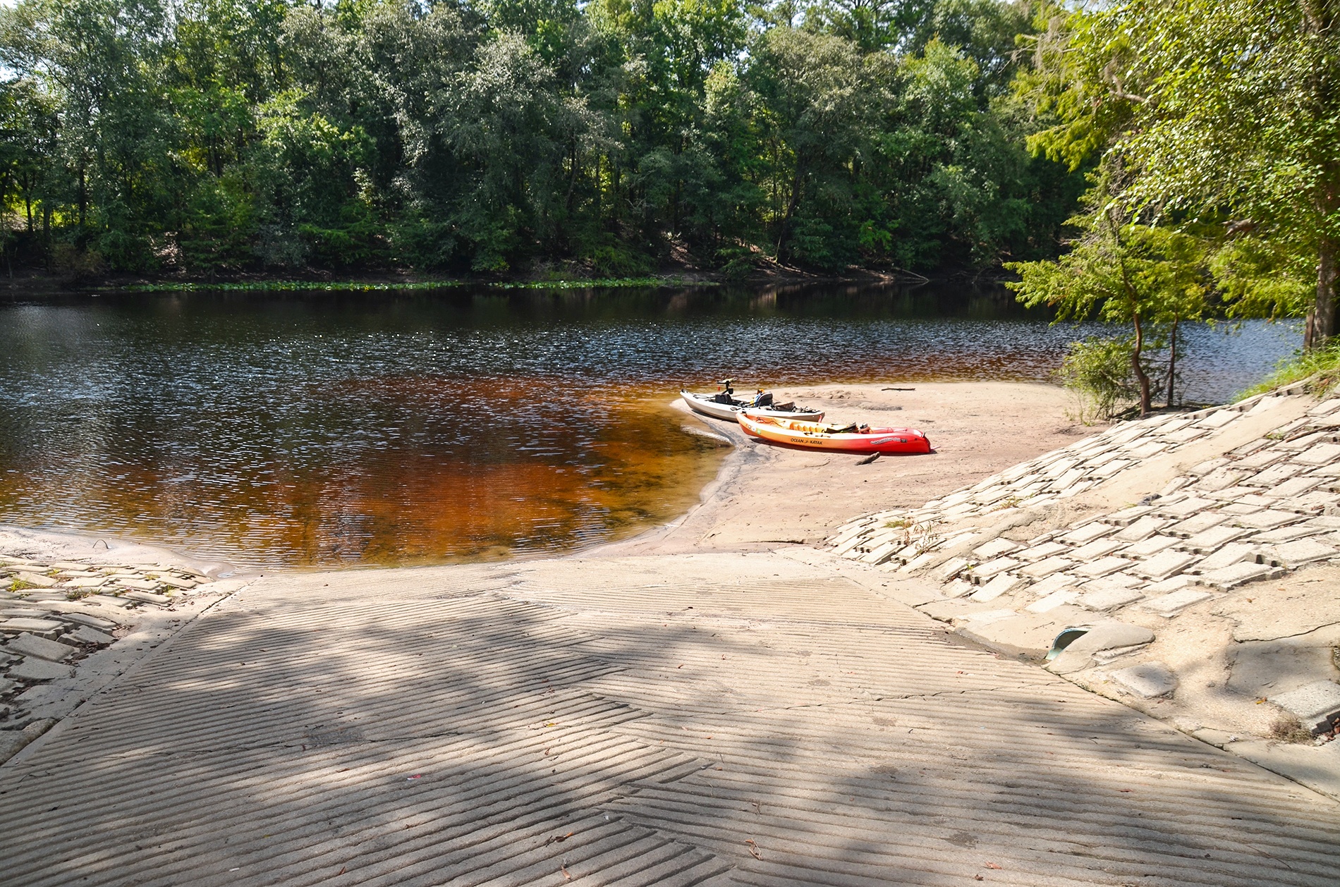
Bible Camp Road Boat is at the end of nowhere. Just keep on driving until the road ends at I-75. The launch is very nice. Spacious, with a concrete ramp and a large sandy area for a soft launch or staging. There is ample parking but no restroom facilities. There is no fee to launch here.
The Upper Santa Fe River:
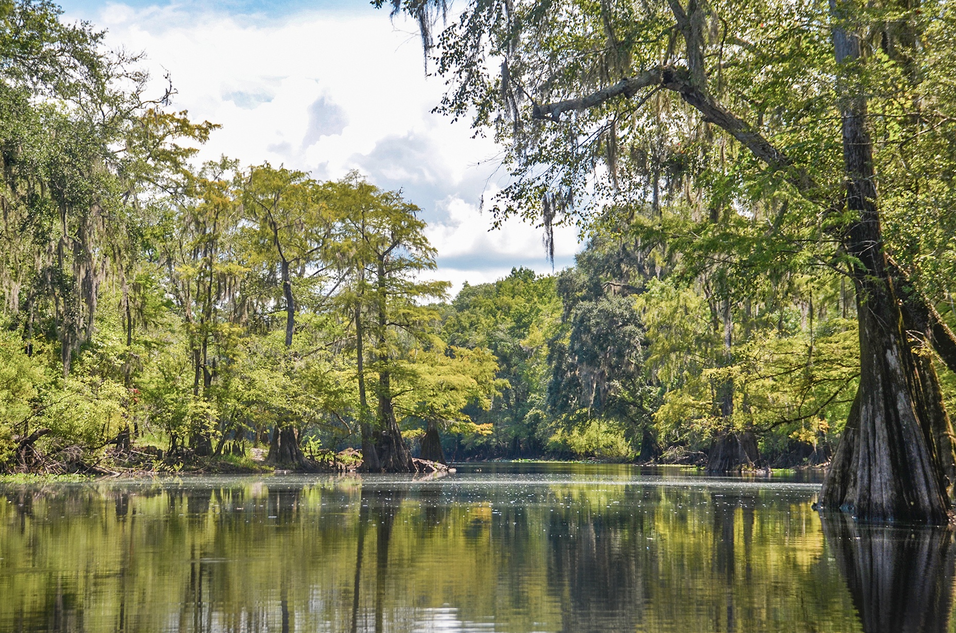
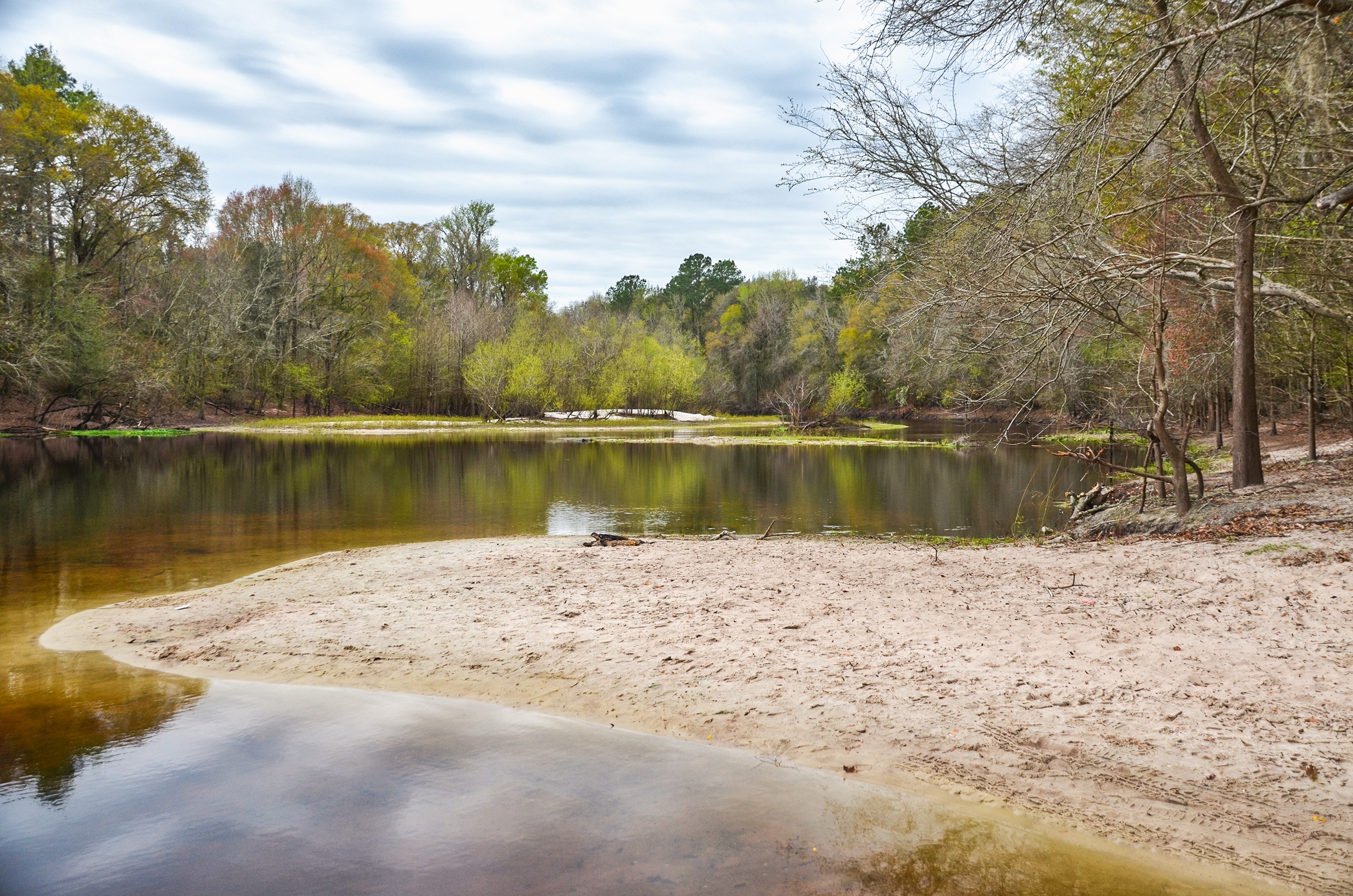
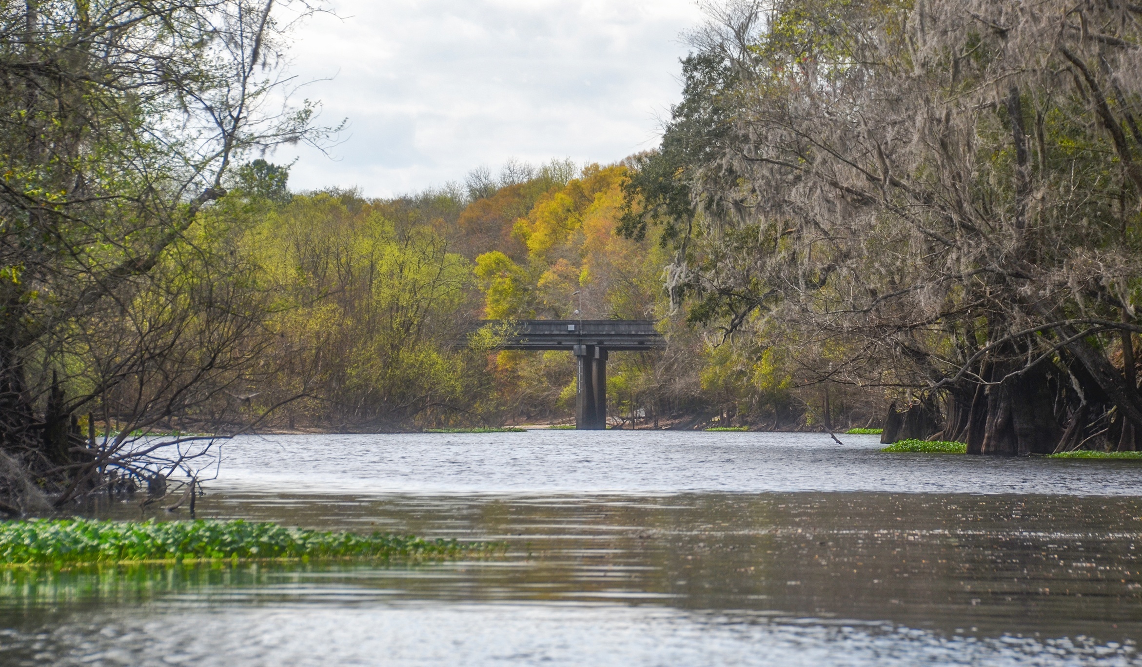
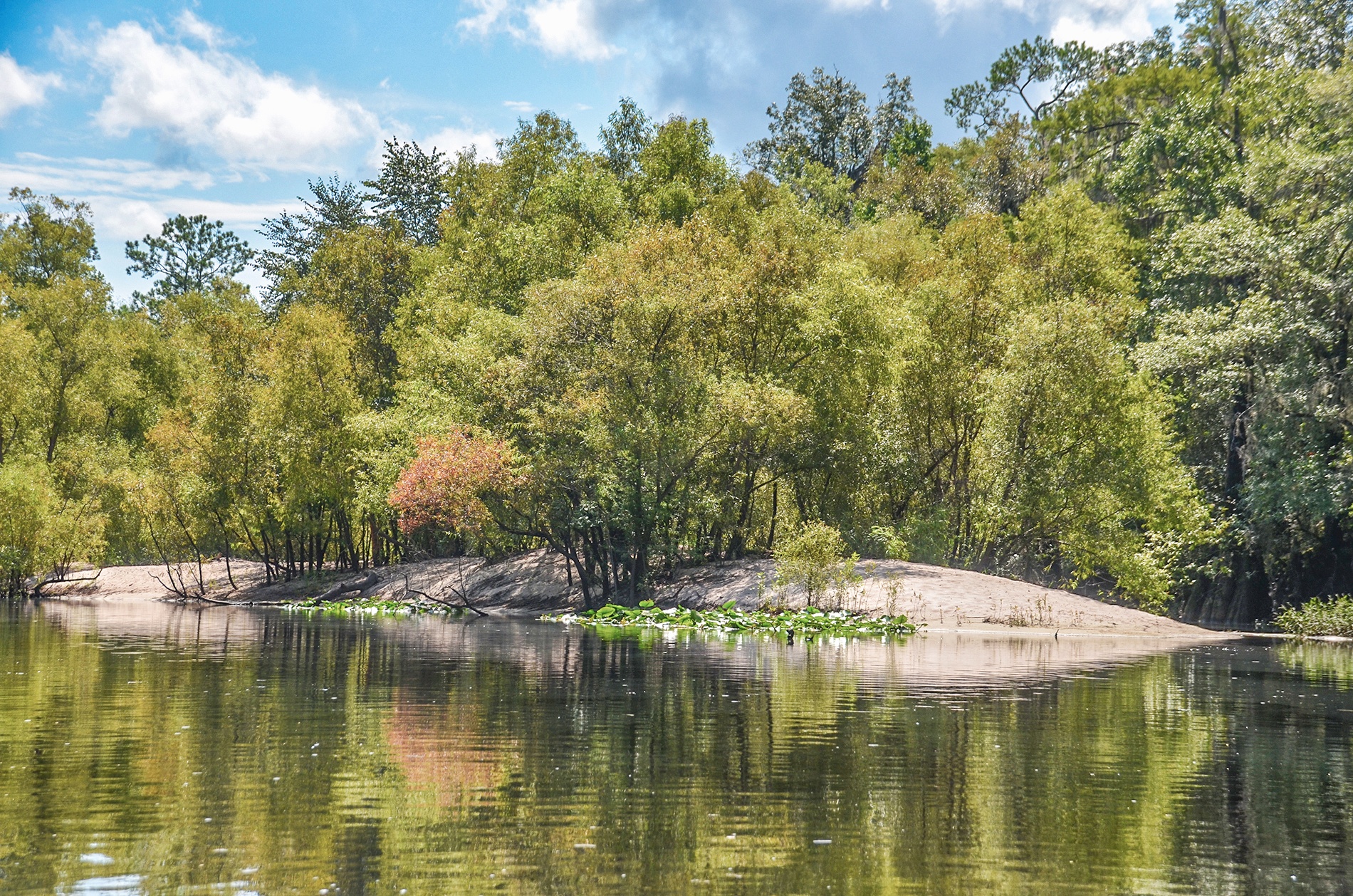
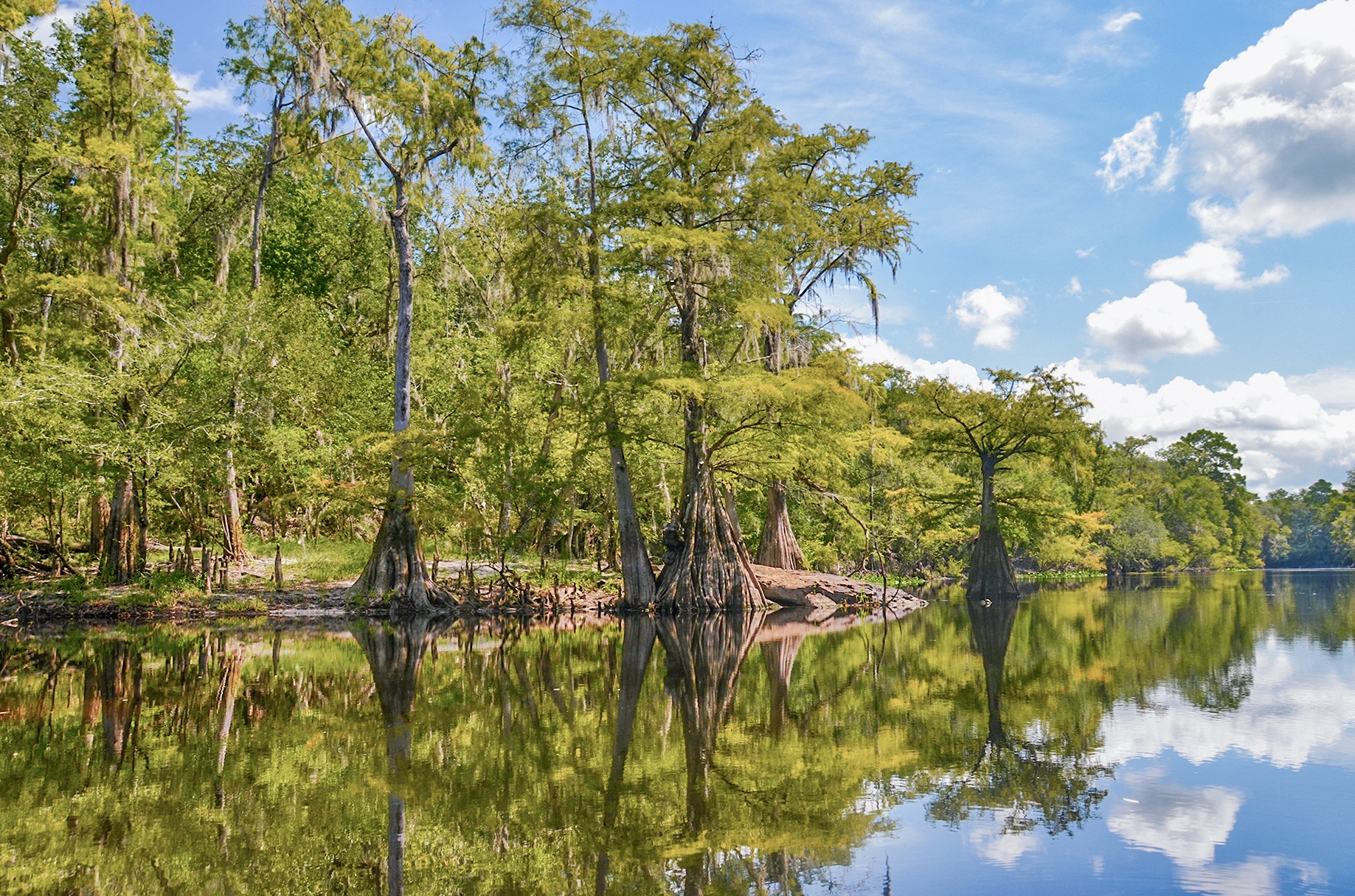
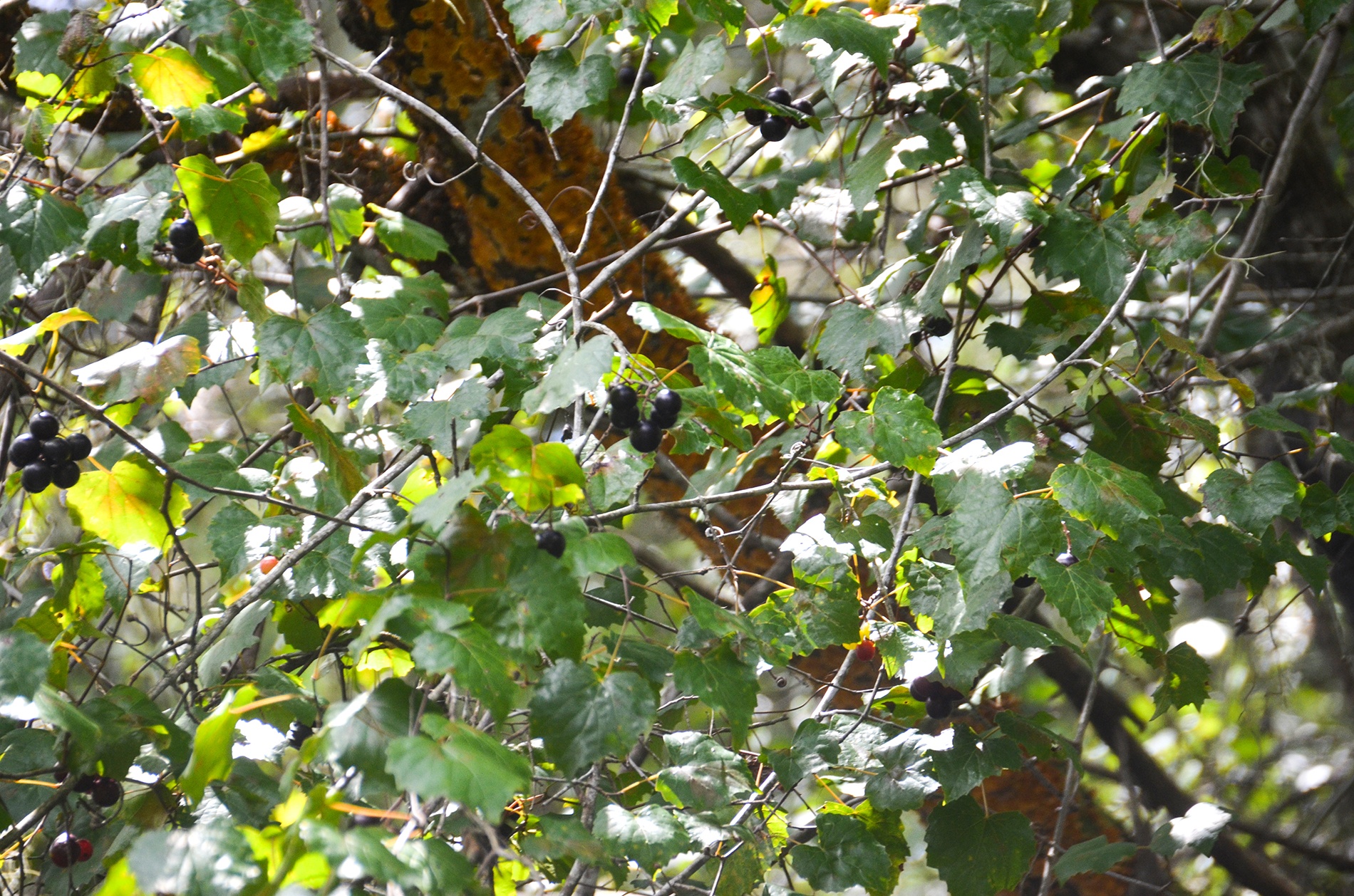
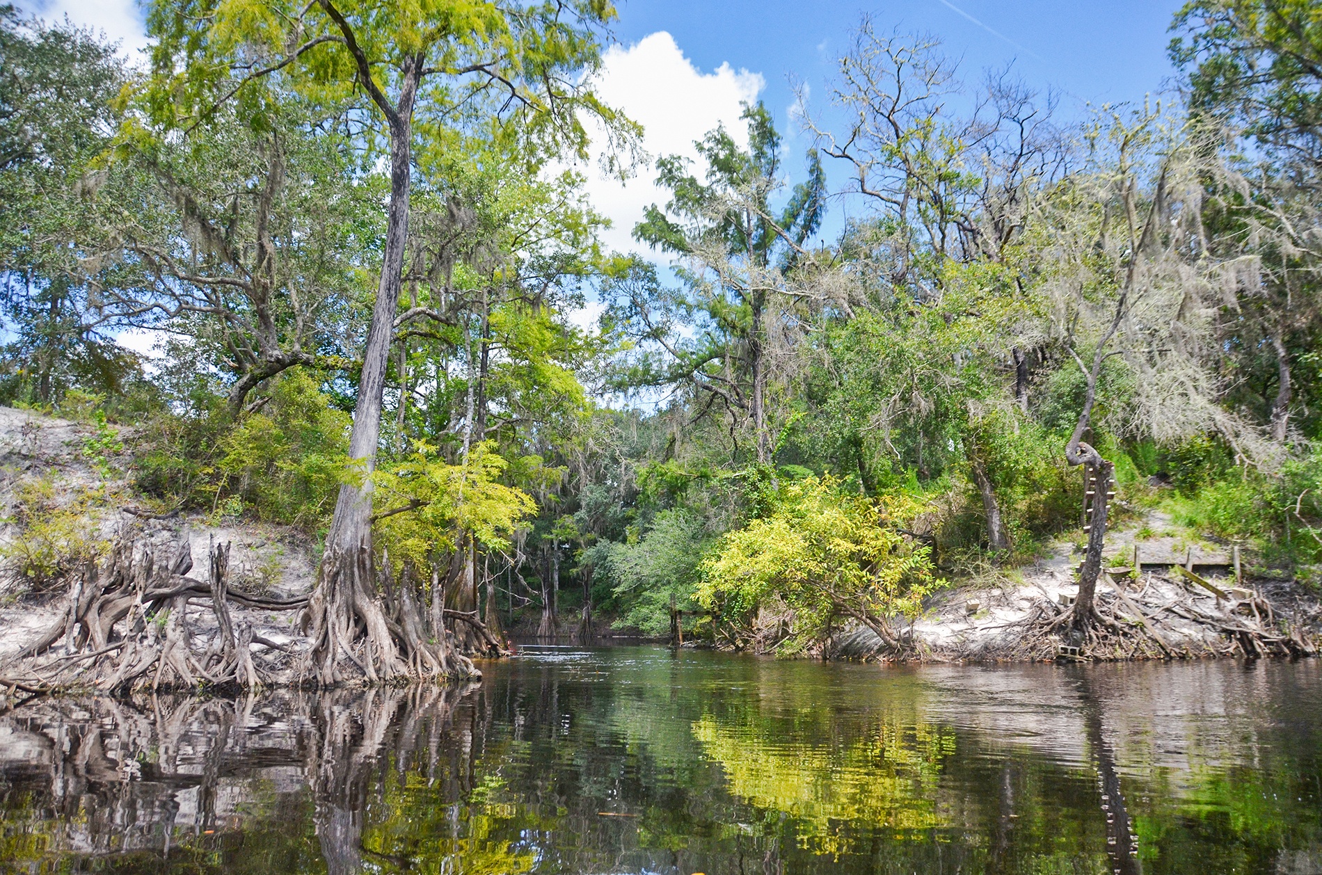
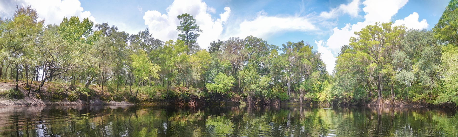
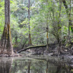
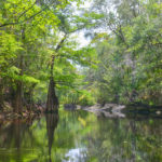
We head upriver, paddling under I-75. The water is low and the twisted roots of Cypress and Swamp Tupelo are exposed along the banks. Despite paddling upriver the current is minimal and not a problem.
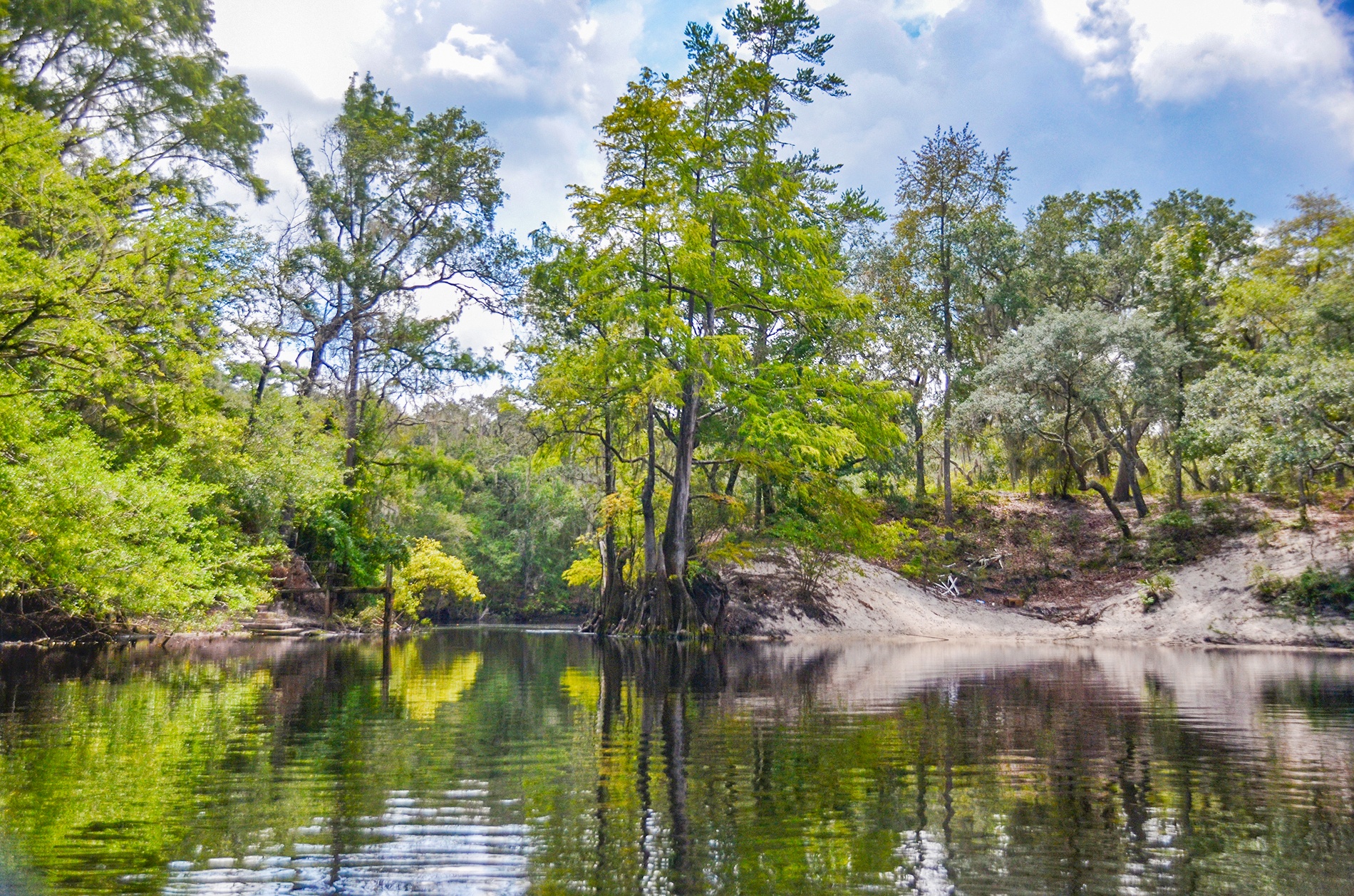
It’s a pleasant paddle and along the way, we pass a couple of exposed islands, perfect for rest stops or picnics. Nice white sandy beaches, shallow water, and plenty of large Willows. In fact, there were numerous willows all along this section of the river to complement the Bald Cypress and Tupelos.


Santa Fe Spring:
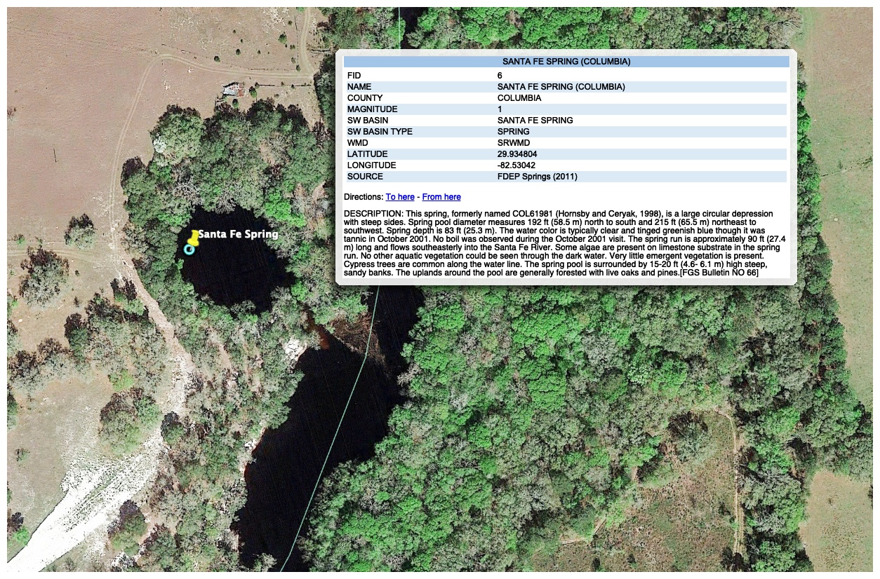
Santa Fe Spring is always worth a visit. At mile marker 2.3, the spring run is visible on river left flowing through tall sandy banks, with the ruins of an old residence on the right bank. The water was flowing quite strongly through the narrow 100′ run and once inside, we found ourselves in a 200′ diameter circular pool. The banks were steep, lined with Oaks, Pine, and Cypress. The boil of this 1st magnitude spring is located in the NW side of the pool, however, there is no sign on the surface of a boil and the pool is basically dark. Once inside the spring pool, there is a nice sandy beach to relax and cool off in the water. See the spring details here.
Olustee Creek:
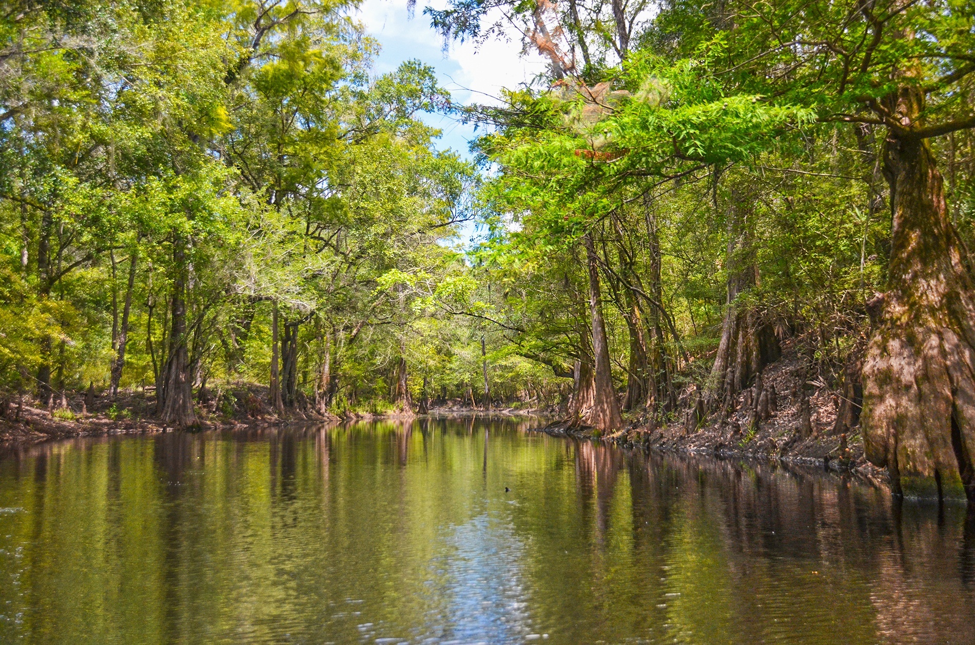
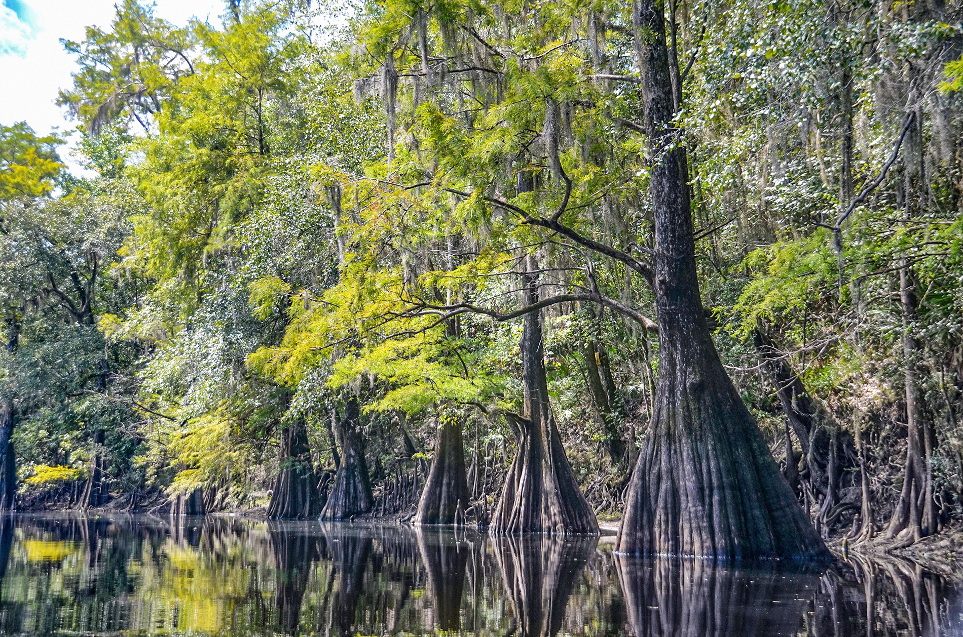
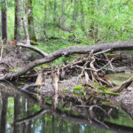
Olustee Creek is one of the main tributaries to the Santa Fe River. It is a slow-moving, twisting creek, lined with cypress trees and bay. Olustee Creek is famous as the location of the largest battle of the Civil War fought in Florida, The Battle of Olustee. On February 20, 1864, the Confederate army repulsed the Union army forcing a retreat to Jacksonville.
We reached the confluence at mile marker 2,78, river left. The opening was wider than the actual Santa Fe River, however, 85′ was reduced to 20′ less than 300′ into the creek. It was shallow, winding, and interesting. The creek ranged from a couple of feet deep to 6″ deep, with a very hard rock bottom and a lot of debris. A 1/4 mile up the creek is a stump in the middle, followed by a ‘limbo tree” 550′ further on. In February this is where we turned around due to the tree and low water, however today, we were under the tree and were able to paddle another 300′ before reaching a large rock formation that blocked the creek. We rested here and thought about an easy portage, however, just another 50’ further was a definite main blockage of trees and stumps and debris. I’ll let someone else explore beyond the blockage. Here we turned around and headed back to the Santa Fe.

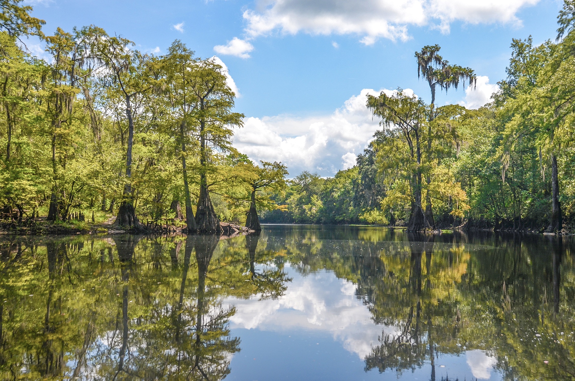
It was great revisiting this particular paddle. It is easy, enjoyable, and scenic. On the way back, the clouds darkened, thunder rumbled in the distance, and the sky opened up with a 15 – 20 minutes rain. Fortunately no lightning! We arrived after our 3 1/2 hour paddle and ended another chapter in Florida Paddle Notes!
Guides, Maps & Info…
![]()