
Brief Overview:
The source of The Withlacoochee River ( N ) is northwest of Nashville, Georgia. This section that we paddled flows southward and eastward into Florida before returning to Georgia for an additional 2.44 miles.
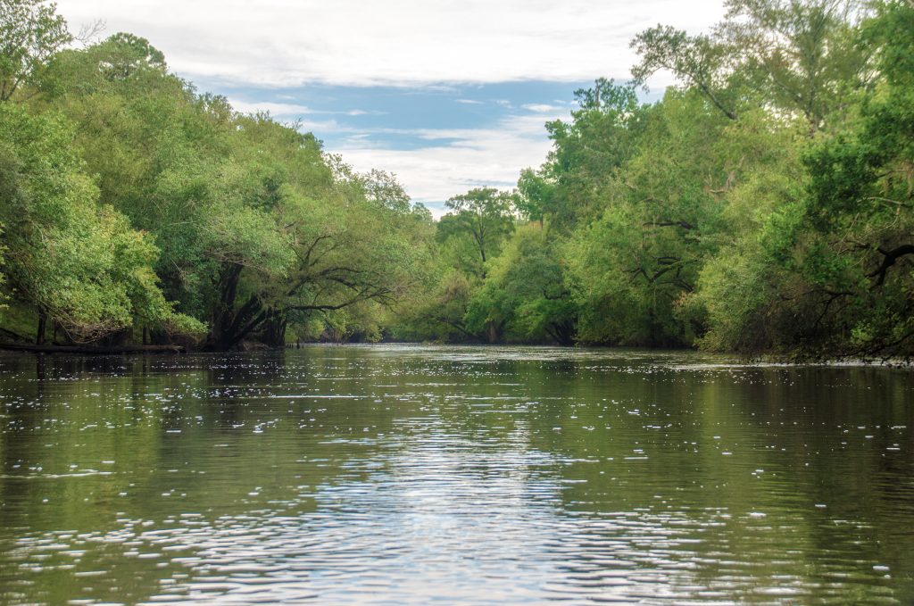
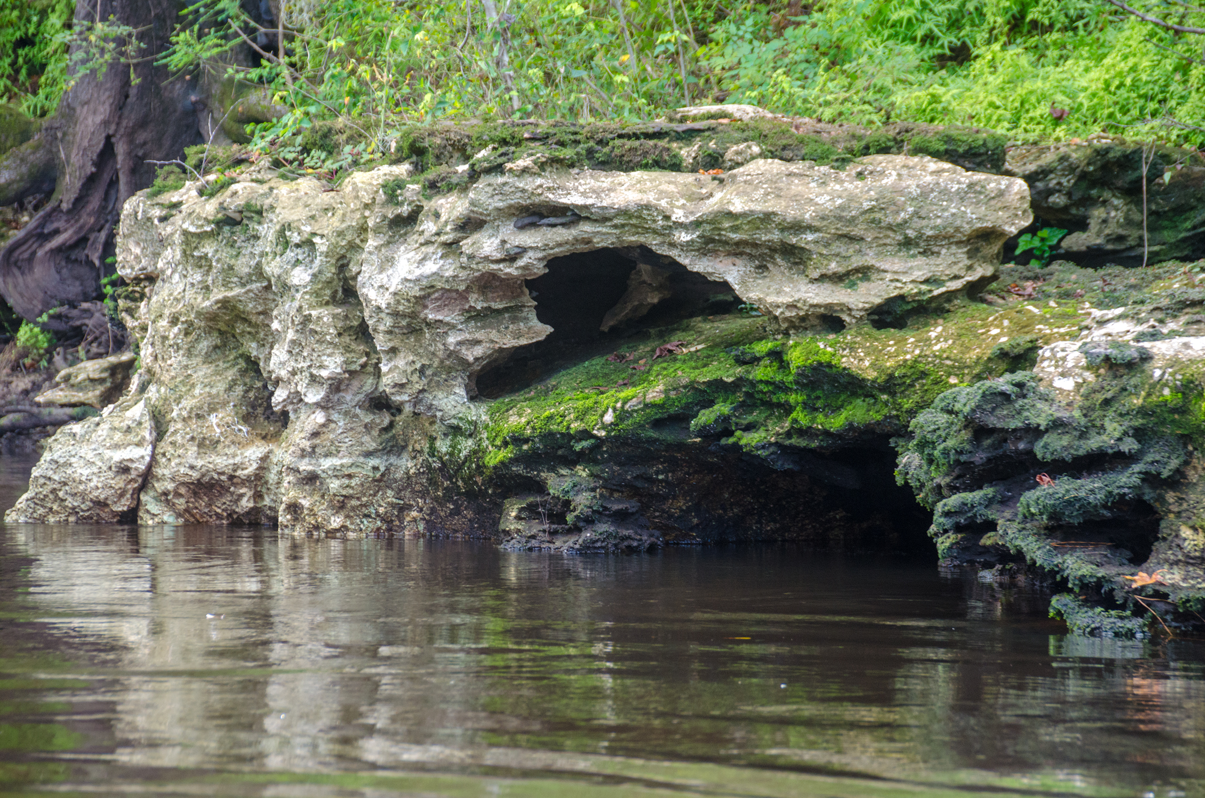
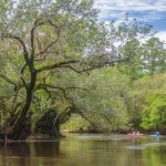
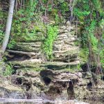
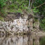
This river is characterized by the limestone banks, the exposed caves and grottoes and numerous shoals. Several springs feed into the Withlacoochee and numerous sandy beaches offer time to rest.
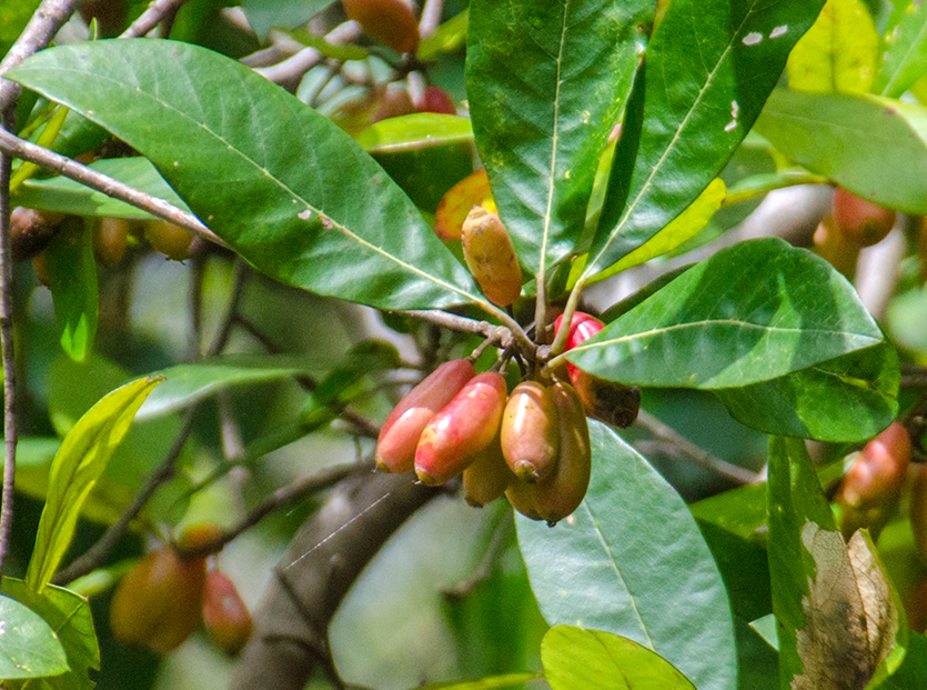
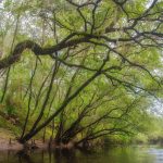
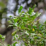
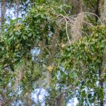
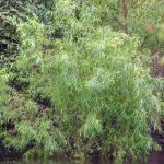
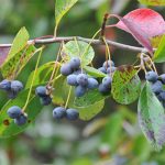
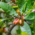
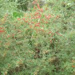
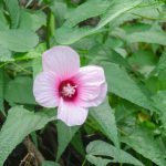
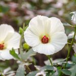
The river is bordered by beautiful, diverse hardwood forest of Oaks, Tupelo, Hickories, Cypress and more. Along the shoreline numerous wildflowers can be seen blooming to include several varieties of Swamp Mallow.
River Details ~ Paddle Notes ~ Photo Gallery
River Details:
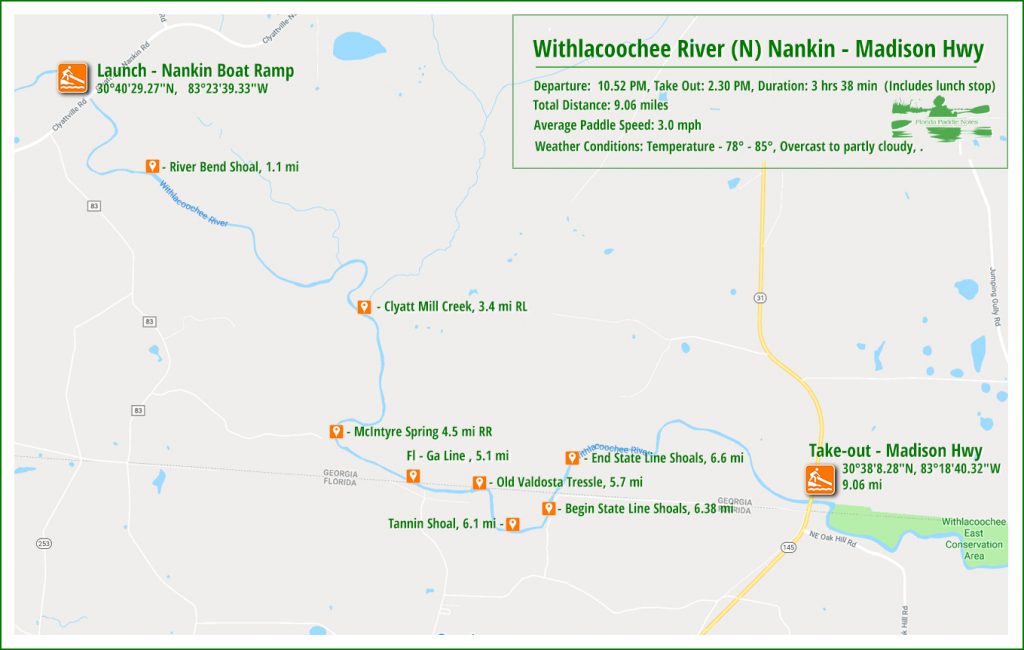
![]() Location: This section of the Withlacoochee River (N) begins just under 5 miles West of Clyattville, Ga and ends just under 4 miles South of Clyattville, Ga.. The river flows into Florida for 1.34 miles before returning to Geargia.
Location: This section of the Withlacoochee River (N) begins just under 5 miles West of Clyattville, Ga and ends just under 4 miles South of Clyattville, Ga.. The river flows into Florida for 1.34 miles before returning to Geargia.
![]() Launch point: The launch is easily missed! It is located on Clyattville Nankin Road, 5.33 miles West of Clyattville. Coordinates 30°40’29.27″N, 83°23’39.33″W. It is on the southeast side of the bridge. It can be treacherous when wet as the clay is very slick and muddy. There is no sign marking the entrance to this launch, known both as Nankin Landing and Withlacoochee River Boat Ramp.
Launch point: The launch is easily missed! It is located on Clyattville Nankin Road, 5.33 miles West of Clyattville. Coordinates 30°40’29.27″N, 83°23’39.33″W. It is on the southeast side of the bridge. It can be treacherous when wet as the clay is very slick and muddy. There is no sign marking the entrance to this launch, known both as Nankin Landing and Withlacoochee River Boat Ramp.
Take out point: The take out is located on Madison Hwy ( 31 ), 3.9 miles South of Clyattville. Coordinates 30°38’8.28″N, 83°18’40.32″W. It is on the Notheast side of the bridge.
![]() Paddle Distance: 9 Miles
Paddle Distance: 9 Miles
![]() Difficulty: Easy to Difficult. At high water levels most of the shoals are covered and even in moderate water levels the shoals encountered are doable but require attention. At low water levels portaging may be required.
Difficulty: Easy to Difficult. At high water levels most of the shoals are covered and even in moderate water levels the shoals encountered are doable but require attention. At low water levels portaging may be required.
 Average Paddle Time: We averaged 3.1 mph on this paddle and with stops it took 3 Hours 38 minutes.
![]() Width and Depth: Average width 90′ at launch, 135′ at take out. Average depth for this date was 8.8′
Width and Depth: Average width 90′ at launch, 135′ at take out. Average depth for this date was 8.8′
![]() Current – Tidal: Current 3 mph, not tidal.
Current – Tidal: Current 3 mph, not tidal.
![]() Side Paddles: There are no side paddles on this section of The Withlacoochee
Side Paddles: There are no side paddles on this section of The Withlacoochee
![]() Rest Areas: There are no bathrooms either at the launch or take out. There are plenty of places along the river to rest and use the natural facilities.
Rest Areas: There are no bathrooms either at the launch or take out. There are plenty of places along the river to rest and use the natural facilities.
Paddle Notes:
The Launch…

All I had was google maps directions and I headed north to Georgia. 3 hours 15 minutes later I was close and looking for the boat ramp sign. I realized there wasn’t one as I was crossing over the river. Turning around, I kept my eyes peeled to the right as I crossed the river again, and, driving slowly, saw the steep dirt/clay entrance to Nankin Landing aka Withlacoochee River Boat Ramp.
It had been raining a lot in south Georgia as it was in north Florida. This entrance to the launch was a combination of large mud holes filled with water and slick areas of freshly soaked clay. Fortunately there was an area surrounding these hazards with gravel and or grass and I safely parked the truck. Take note that this launch is in the middle of nowhere southern Georgia and the thought of leaving my truck there, with all the empty beer cans, for the next 3 1/2 hours was somewhat unsettling. You gotta do what you gotta do!
48 years later…
This is a second trip for me. 48 years ago, in 1970, I was a land surveyor and was assigned the task to traverse and map the Withlacoochee River from the very spot we launched all the way to the Florida State line. It was also my task to survey 3 miles to the East and 3 miles to the West on the Florida border. It was also my instructions to retrace 2 other older Florida lines based on records in the archives of Florida and Georgia. This was a cool assignment!
So now 48 years later I launched my kayak from Nankin Landing aka Withlacoochee Boat Ramp, and proceeded, with the Boll Green Aquaholics, to paddle once again this stretch of the Withlacoochee River!
Go with the flow…
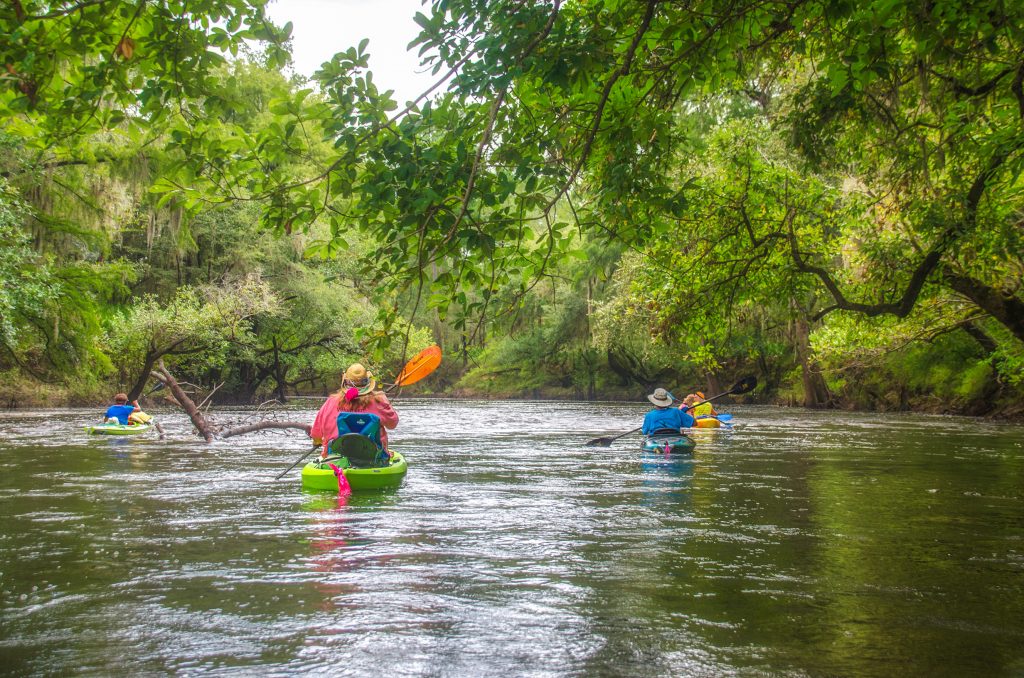
At first glance it appeared this 9 mile paddle would go by quickly. The flow of the river at the launch was easily 5 mph, however when the crew came back from shuttling vehicles to the take out point, the report was that the current was not the same there. We launched into the swiftly flowing current ready for adventure.
Previous scouting of the river on Google Earth, provided information as to the location of several key shoals and McIntyre Spring. With the higher water level we were not sure what to expect, but I had notes with mile markers noted and turned on my Paddle Logger app to track our miles and paddling data. Our initial speed registered near 4 mph but soon tapered to a steady 3 mph. At the 1.1 mile marker was River Bend Shoal and this would be a good indicator of what we might expect further along the paddle.
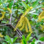
It was an overcast morning in the upper 70°’s and the river was beautiful! The foliage of the trees was full and lush. Most notable, were the numerous species of trees, especially the Tupelos…Water Tupelo – Nyssa aquatica, Swamp Tupelo – Nyssa biflora and the most predominant was the Ogeechee tupelo –Nyssa ogeche. Yaupon Holly – Ilex vomitoria was also quite prevalent along the shorelines.
The Shoals…
Arriving at the 1.1 mile mark in the river, we realized that the water level was high enough to cover River Bend Shoal. The current was a bit swifter and there were numerous eddies, but all in all we were about 2′ over the top of the shoal. This was true for most all the other shoals along the river for the first few miles, a nice flow, numerous eddies, no rocks.
At the 4.5 mile mark we expected to see McIntyre Spring. No go. The high water level obscured the spring and we paddled on.
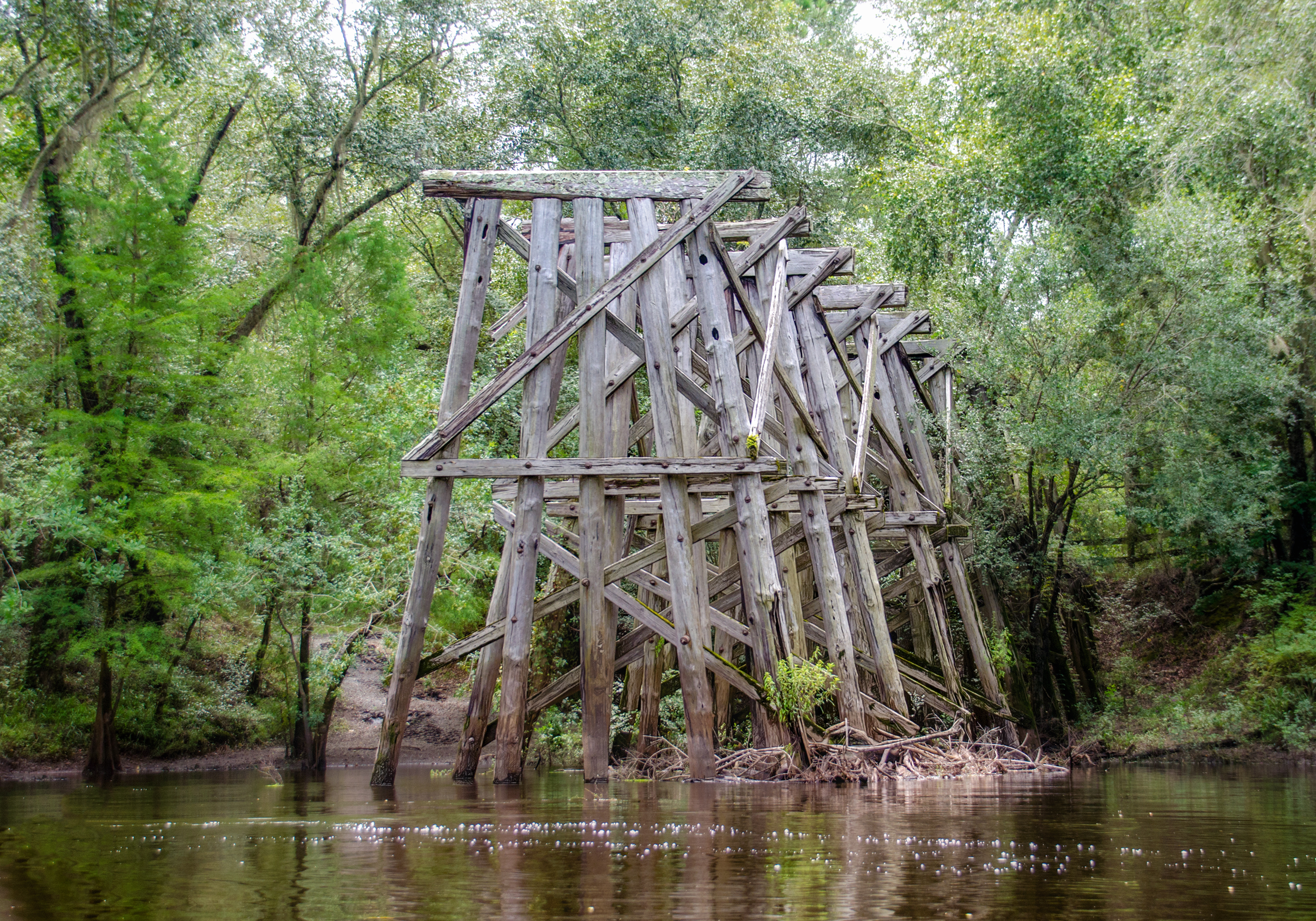
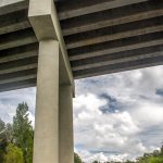
We crossed the state line into Florida at the 5.1 mile mark without much fanfare, however at mile marker 5.7 we reached the old Valdosta Railroad Trestle on river right.
Still in Florida, just below the Georgia state line at mile marker 6.33 we reached the State Line Shoals. Here the water was churning over submerged rocks without a clear route to pick so we approached just left of center.

For a quarter mile, we were swiftly carried over the shoals, dodging rocks and occasionally hitting submerged rocks but ending with a thrilling ride for sure! We were happy to have had experienced one good shoal despite the high water.
Smooth paddling to take out…
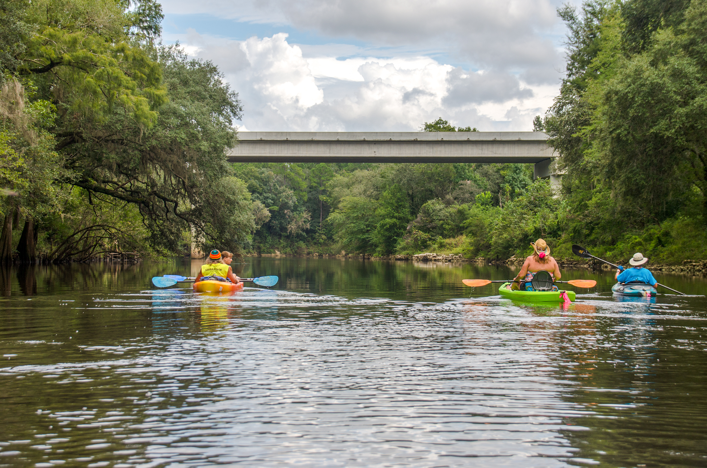
The final two miles were uneventful but relaxing after having experienced the State Line Shoals. We enjoyed seeing the limestone shoreline which was more predominant in this last 2 mile stretch. We reached the take out on Madison Highway 3 hours and 38 minutes after launch, the sun now out and the air warming up. 9.01 miles kayaked and it’s back home to Florida.
A Withlacoochee North Gallery…

It was a fine paddle and one we will be sure to return on during lower water levels to experience many of the shoals we glided over. Another fun time with our paddle group Boll Green Aquaholics! Another great chapter for Florida Paddle Notes.
![]() Keep up with new paddles here to receive an email notification when a new adventure is posted…sign me up! Check out past paddles here and follow Florida Paddle Notes on Facebook !
Keep up with new paddles here to receive an email notification when a new adventure is posted…sign me up! Check out past paddles here and follow Florida Paddle Notes on Facebook !
![]()