
This was scheduled as part of a St. Patrick’s Day camping trip. We paddled a short 1.6 miles on the Withlacoochee River, entered the Florida Barge Canal, paddled up to the Inglis lock, then all the way down the canal to Hwy 19 and our take-out. Not the most pleasant paddle I have been on. It was cool, cloudy, breezy, and short rain showers. While the Withlacoochee portion was scenic, the Barge Canal was, well it was the Barge Canal. This was one paddle I was glad to see the end!…James
![]()
The 150 mile long Withlacoochee River originates in central Florida’s Green Swamp, east of Polk City, and empties into the Gulf of Mexico near Yankeetown in Levy County. It is considered a ‘Blackwater’ river and one of two Florida rivers that flow northward.
Springs contribute approximately 2.2 billion gallons of water per day to the Withlacoochee River. Contributing springs include the Rainbow Springs Group, Gum Springs, Fenney Spring, Citrus Blue Springs, and many smaller springs.
“Withlacoochee” probably stems from a Muskhogean dialect, which suggests that its application is comparatively recent. It is compounded of Creek we (water), thlako (big), and chee (little), or little big water. This word combination signifies little river in the Creek language, and as we-lako or wethlako may also refer to a lake, it may signify a river of lakes, or lake river. An alternate etymology holds that Withlacoochee is a Native American word meaning “crooked river”…(Wikipedia) The Withlacoochee River is designated as an Outstanding Florida Waterway.
Withlacoochee River (S) /Barge Canal Paddle Map…
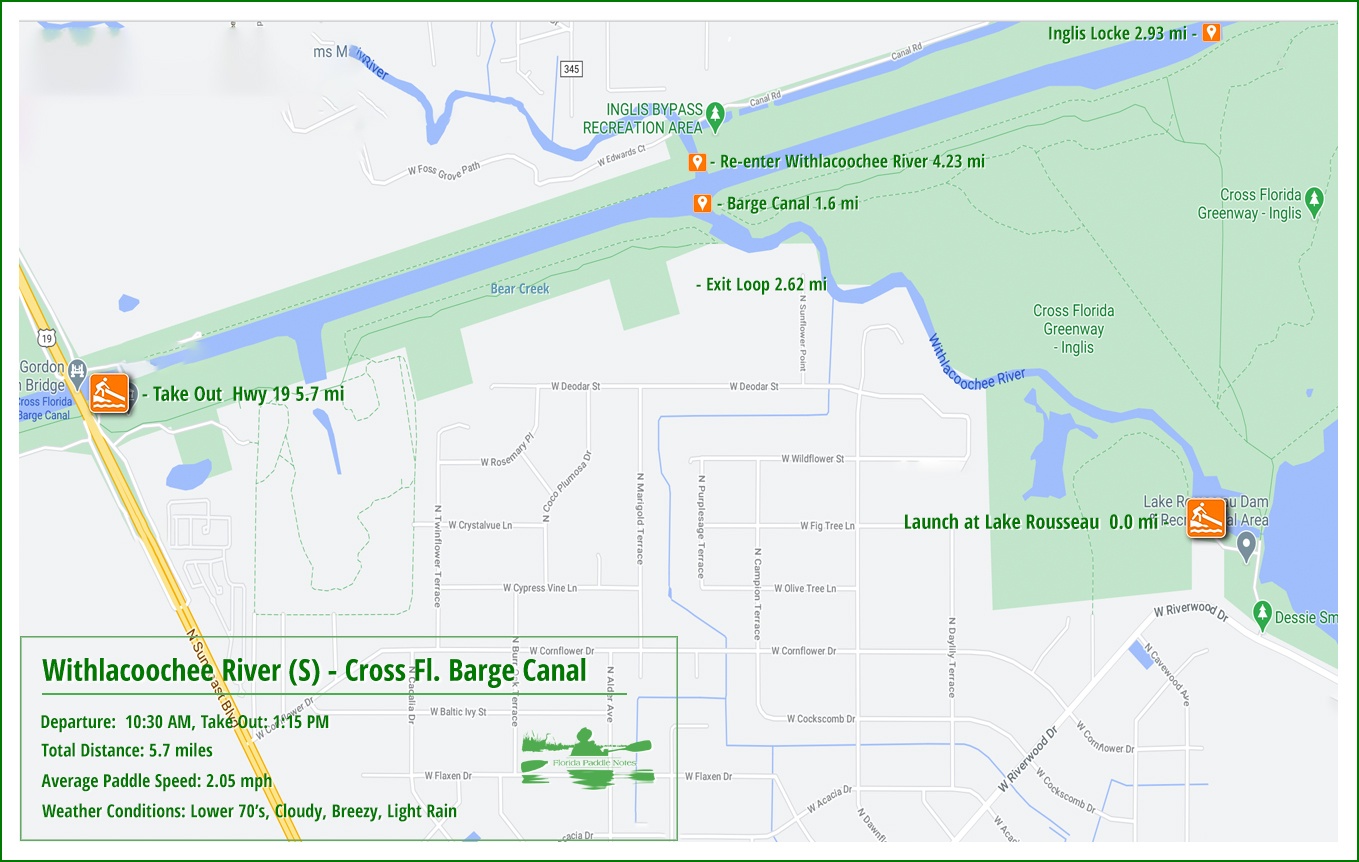
Withlacoochee/Barge Canal Details…
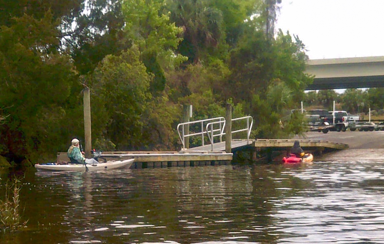
![]() Location: This section of the Withlacoochee River and the Cross Florida Barge Canal ( Cross Florida Greenway – Inglis ) is located along the border of Levy and Citrus County, 2 miles southeast of Inglis, Fl.
Location: This section of the Withlacoochee River and the Cross Florida Barge Canal ( Cross Florida Greenway – Inglis ) is located along the border of Levy and Citrus County, 2 miles southeast of Inglis, Fl.
![]() Launch point: The launch for this paddle is located at the west end of Lake Rousseau on the west side of the dam, on the Withlacoochee River…10913-11025 W Riverwood Dr, Crystal River, FL 34428
Launch point: The launch for this paddle is located at the west end of Lake Rousseau on the west side of the dam, on the Withlacoochee River…10913-11025 W Riverwood Dr, Crystal River, FL 34428
The Take-Out: Located at the boat ramp on the southeast corner of Ronald Gordan Smith Bridge at 10247 N Suncoast Blvd, Crystal River, FL 34428
![]() Paddle Distance: 5.7 miles
Paddle Distance: 5.7 miles
![]() Difficulty: Easy. The water level was high and the flow was good.
Difficulty: Easy. The water level was high and the flow was good.
 Average Paddle Speed: 2.05 mph.
![]() Width and Depth: The river average from 75′ to 125′ wide as it winds to the barge canal, which has a width of 250′.
Width and Depth: The river average from 75′ to 125′ wide as it winds to the barge canal, which has a width of 250′.
![]() Current – Tidal: This paddle is subject to tides and flow from the dam.
Current – Tidal: This paddle is subject to tides and flow from the dam.
![]() Side Paddles: NA
Side Paddles: NA
![]() Rest Areas: There are bathroom facilities at the launch and all along the canal there are plenty of places to stop and rest. There are also restroom facilities at the take-out
Rest Areas: There are bathroom facilities at the launch and all along the canal there are plenty of places to stop and rest. There are also restroom facilities at the take-out
Lake Rousseau Boat Launch…
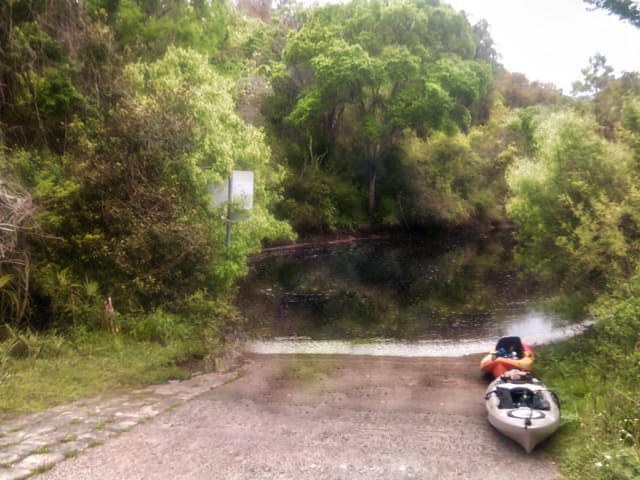
On the lower downstream side of the Lake Rousseau dam is a large paved parking area with a boat ramp that also serves as a canoe/kayak launch. This paved ramp provides access to the Withlacoochee River segment that runs 1.5 miles from below the Main Dam and Spillway to the barge canal channel. There are restroom facilities at the main launch.
The Withlacoochee River (S) …
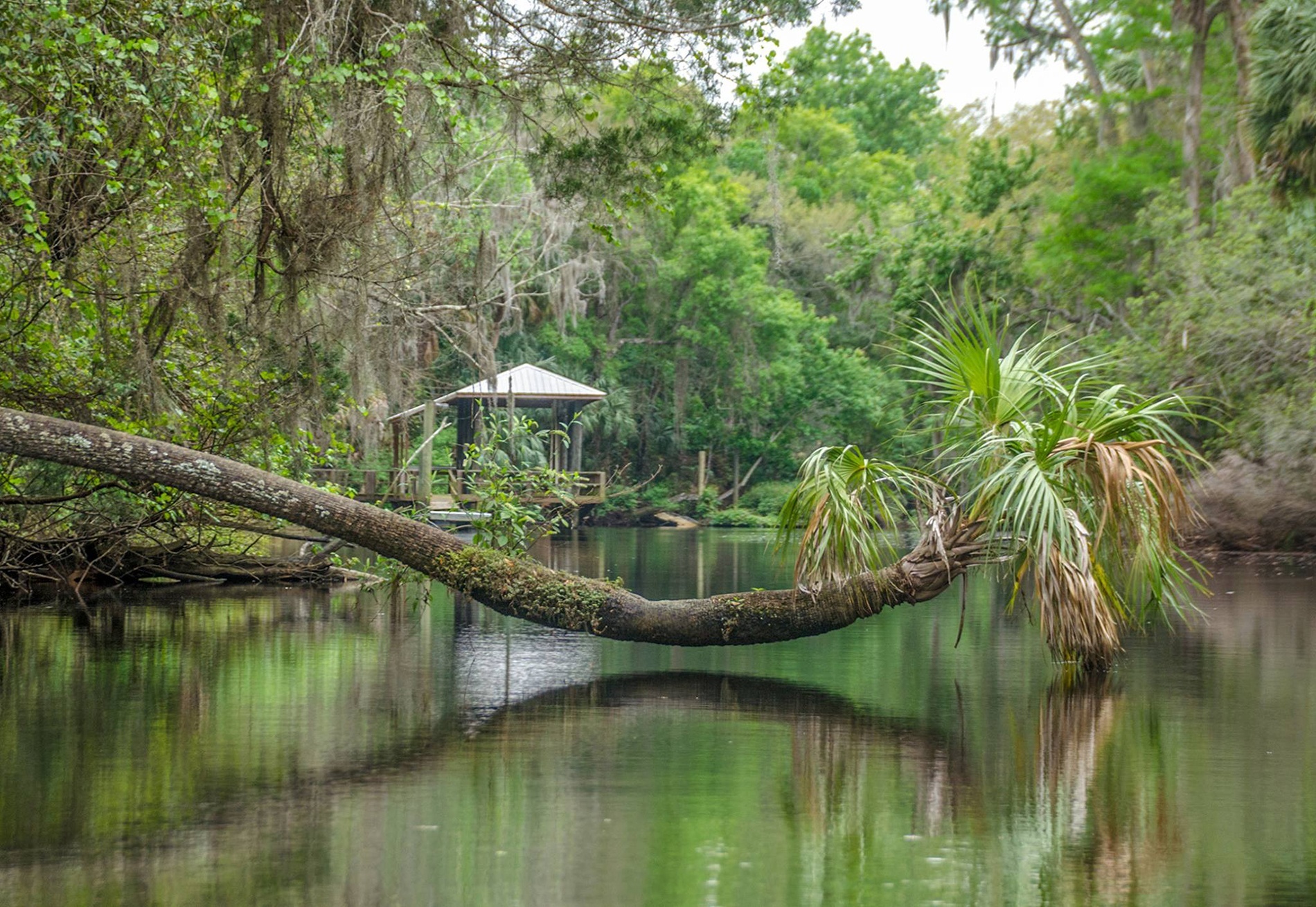
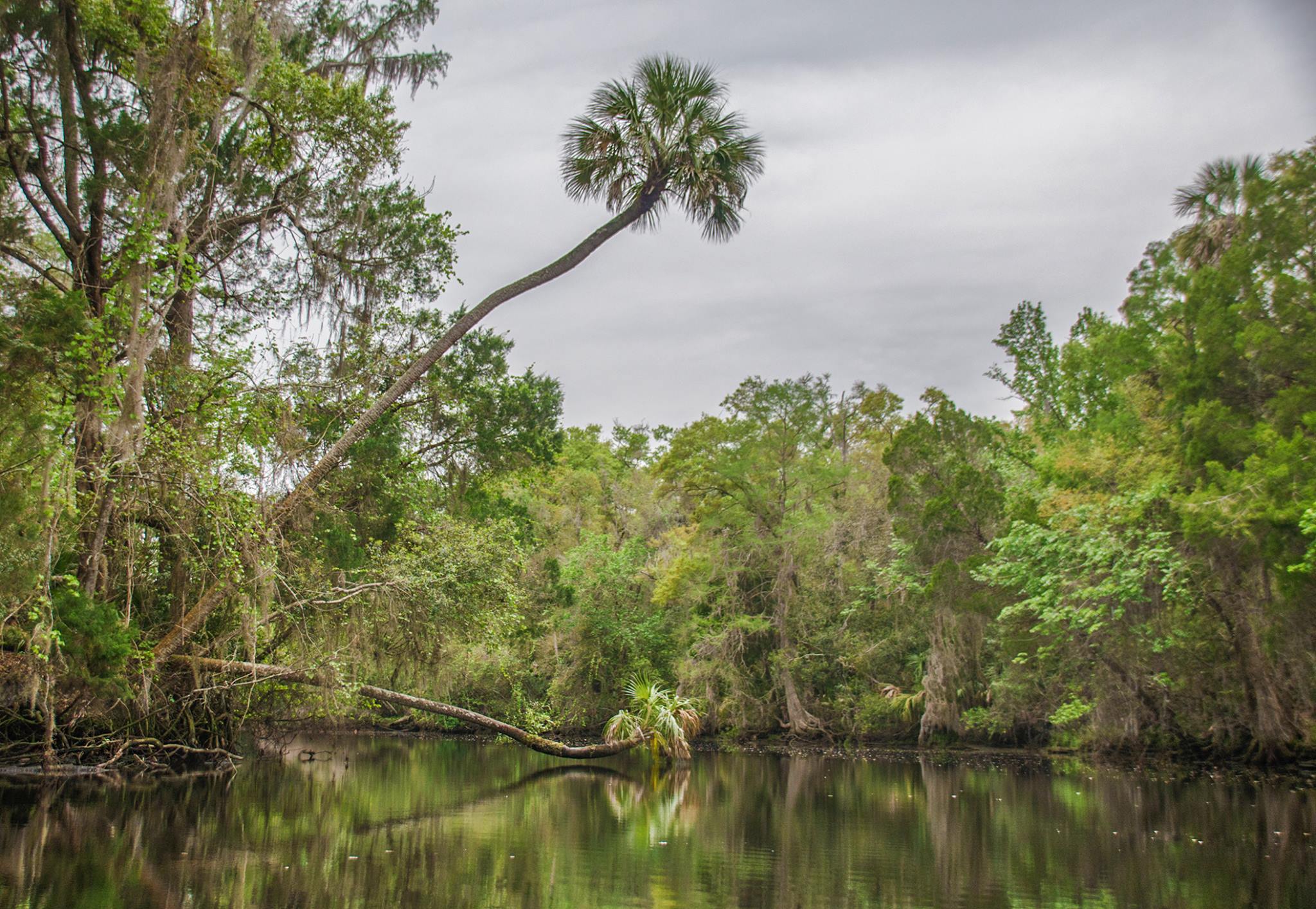
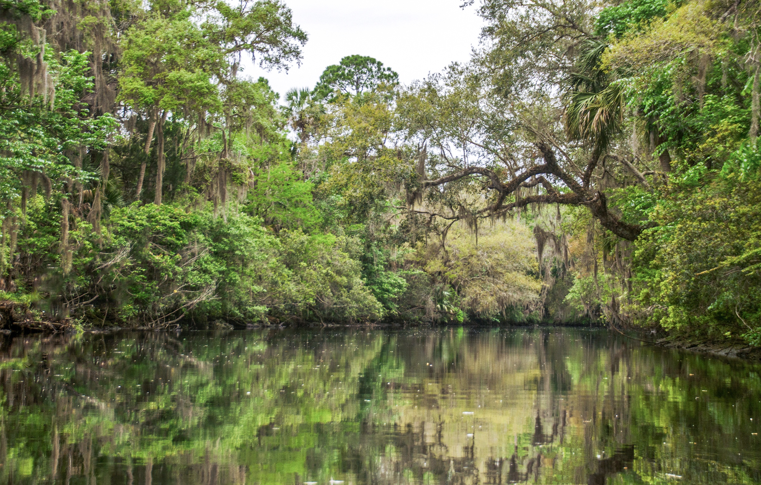
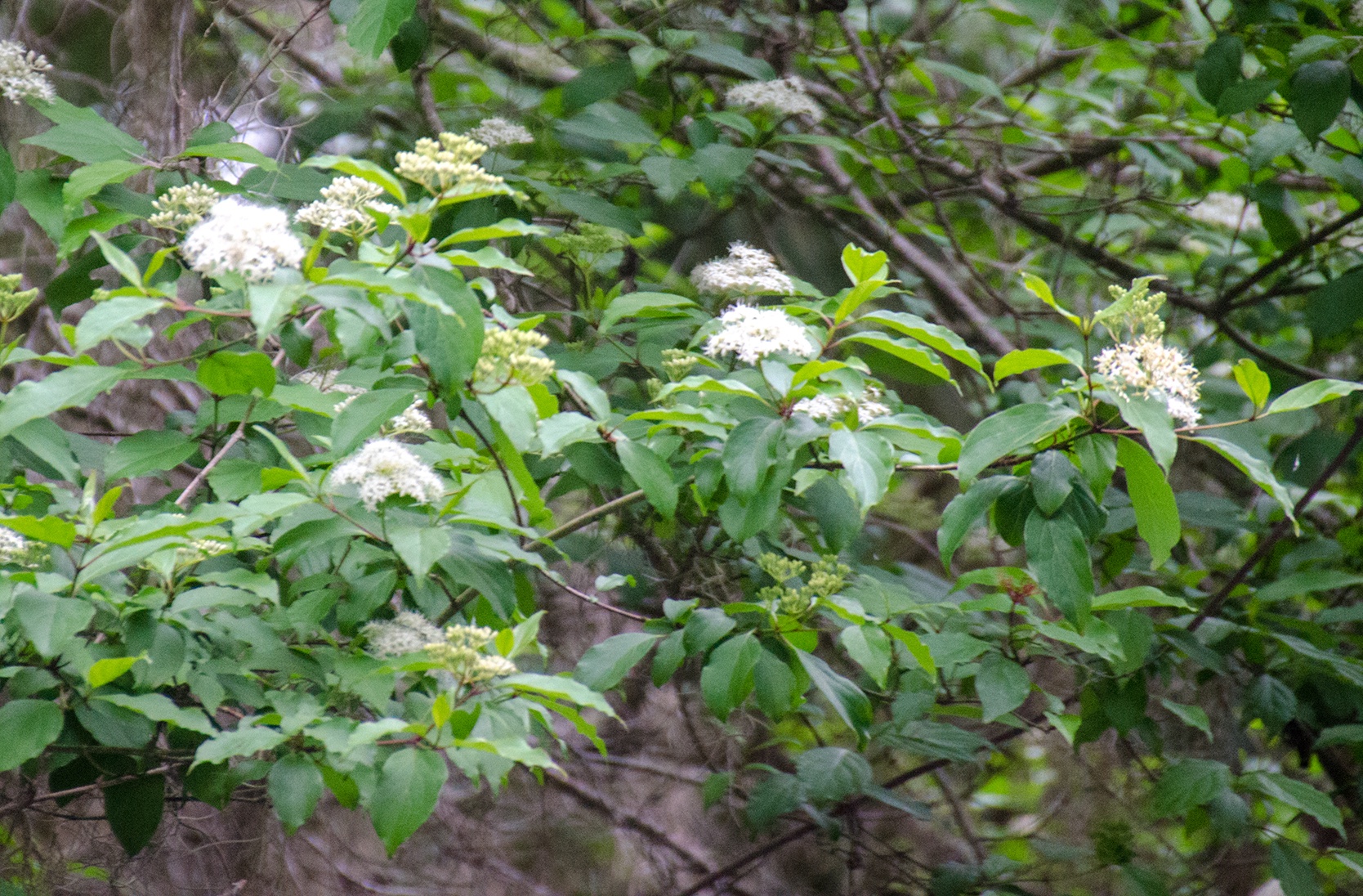
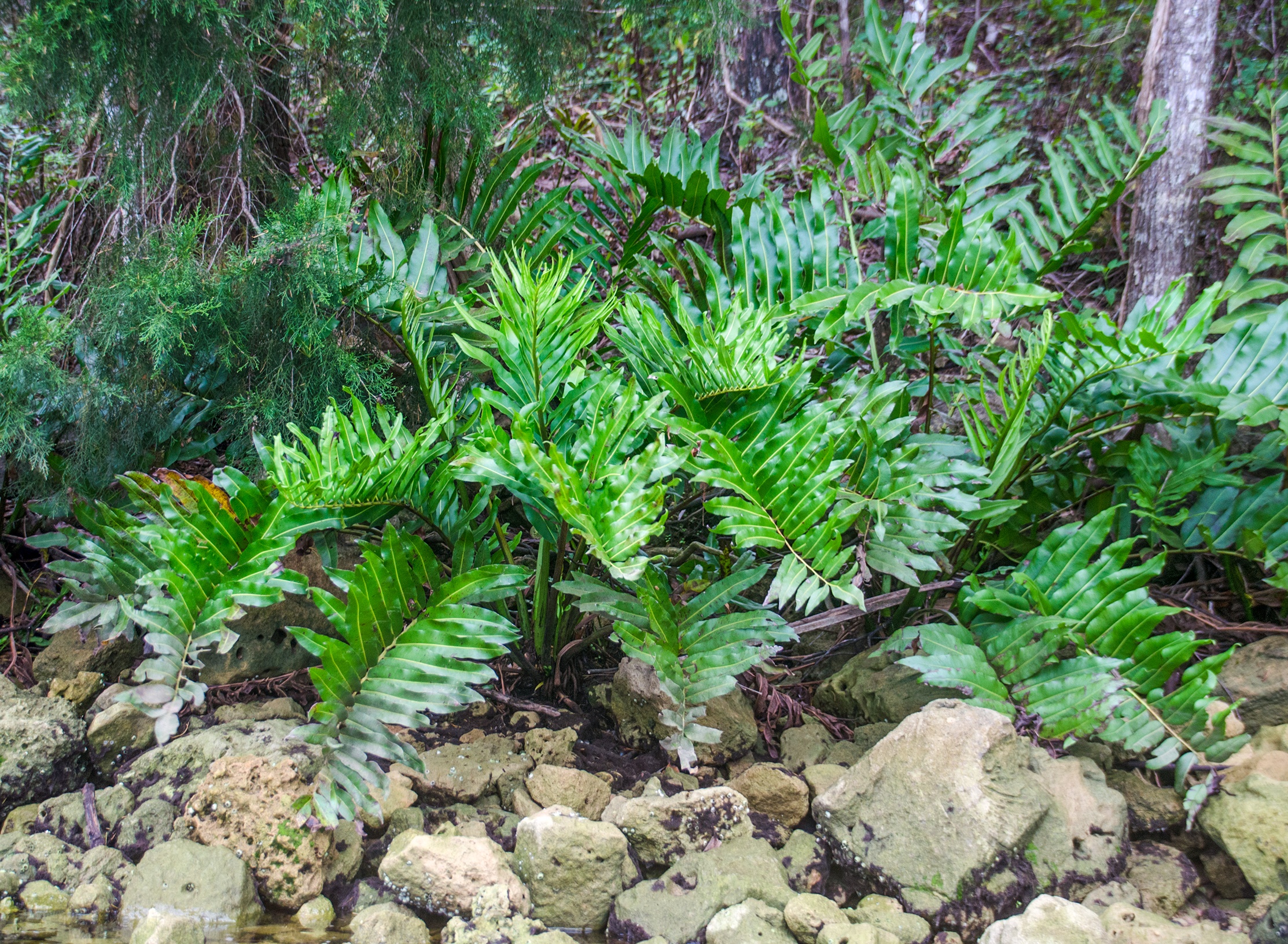
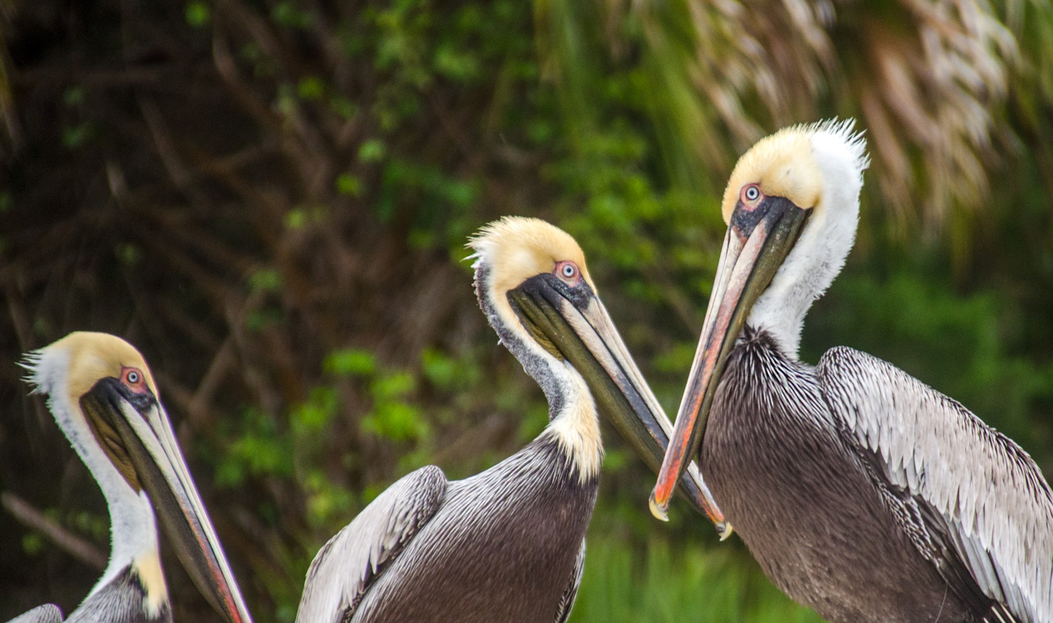
This section of the Withlacoochee River is only 1.6 miles long before reaching the Cross Florida Barge Canal. It is actually scenic, with numerous palms towering overhead, oaks, leaning over the water, and ferns lining the shoreline. There are several homes but not really a distraction from the scenery and the canopy overhead is nice.
There are a couple of unique boats to see docked along the route and once you reach the 1.6-mile mark at the barge canal you begin a totally different paddle.

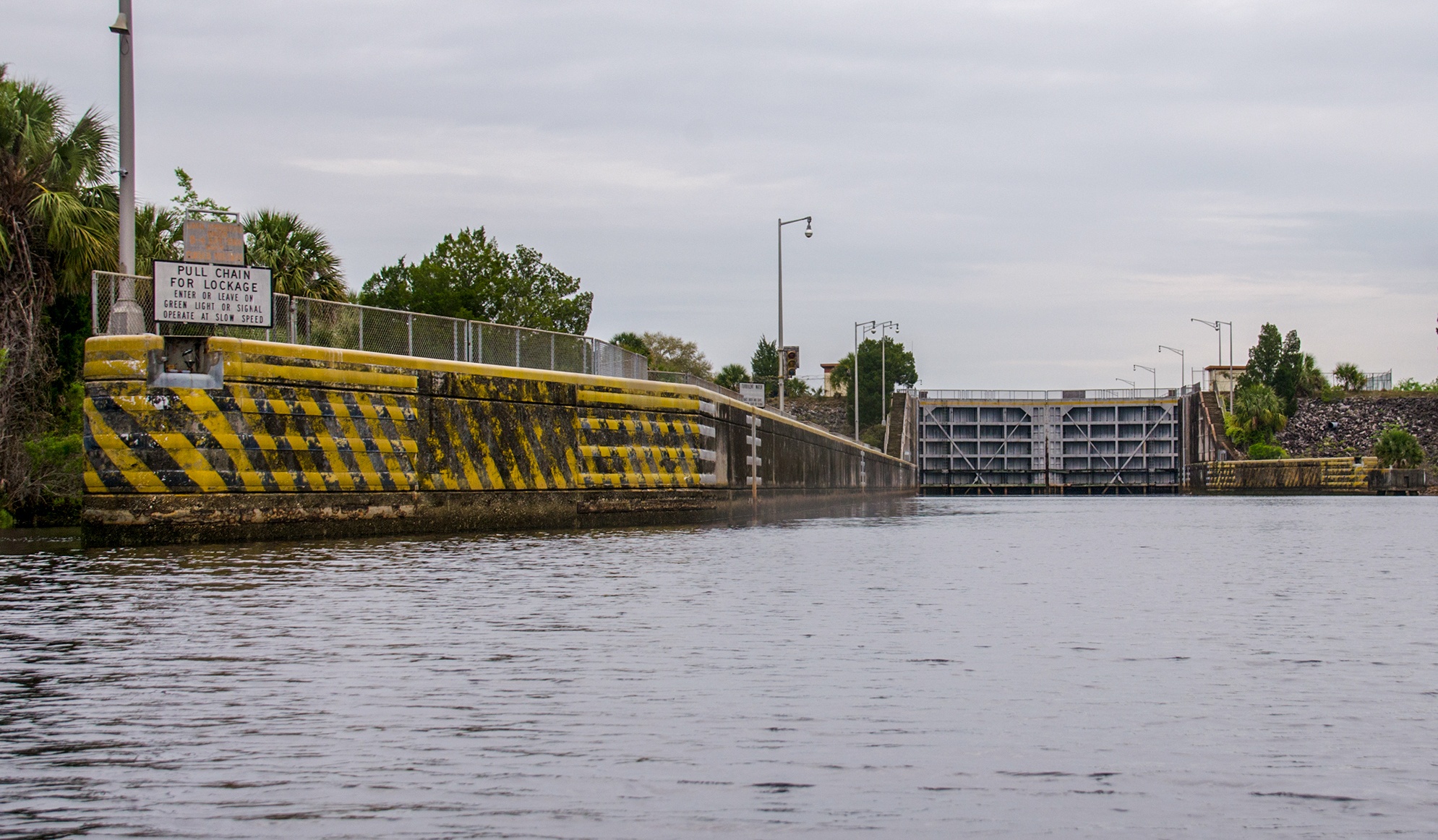
The Inglis Lock & Florida Barge Canal…
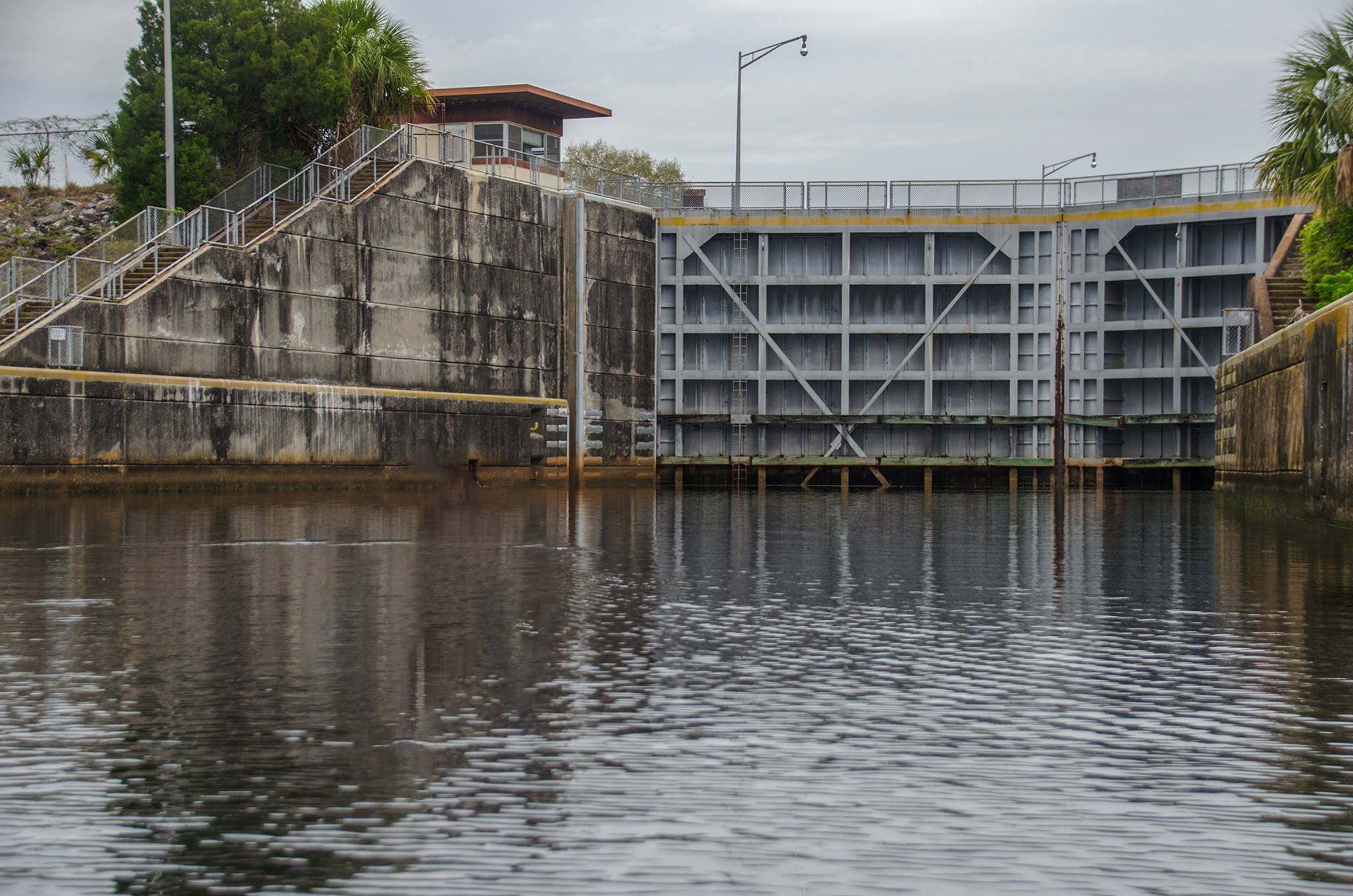
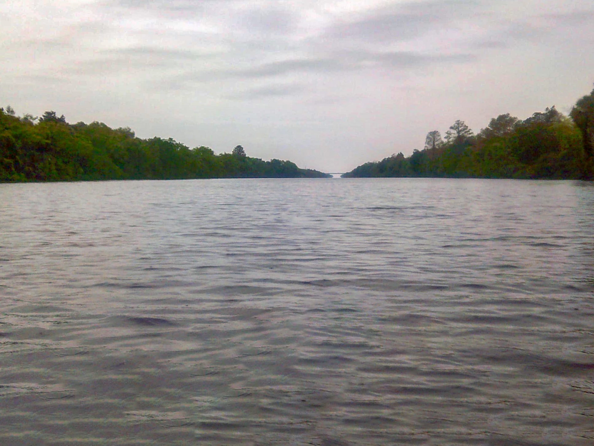
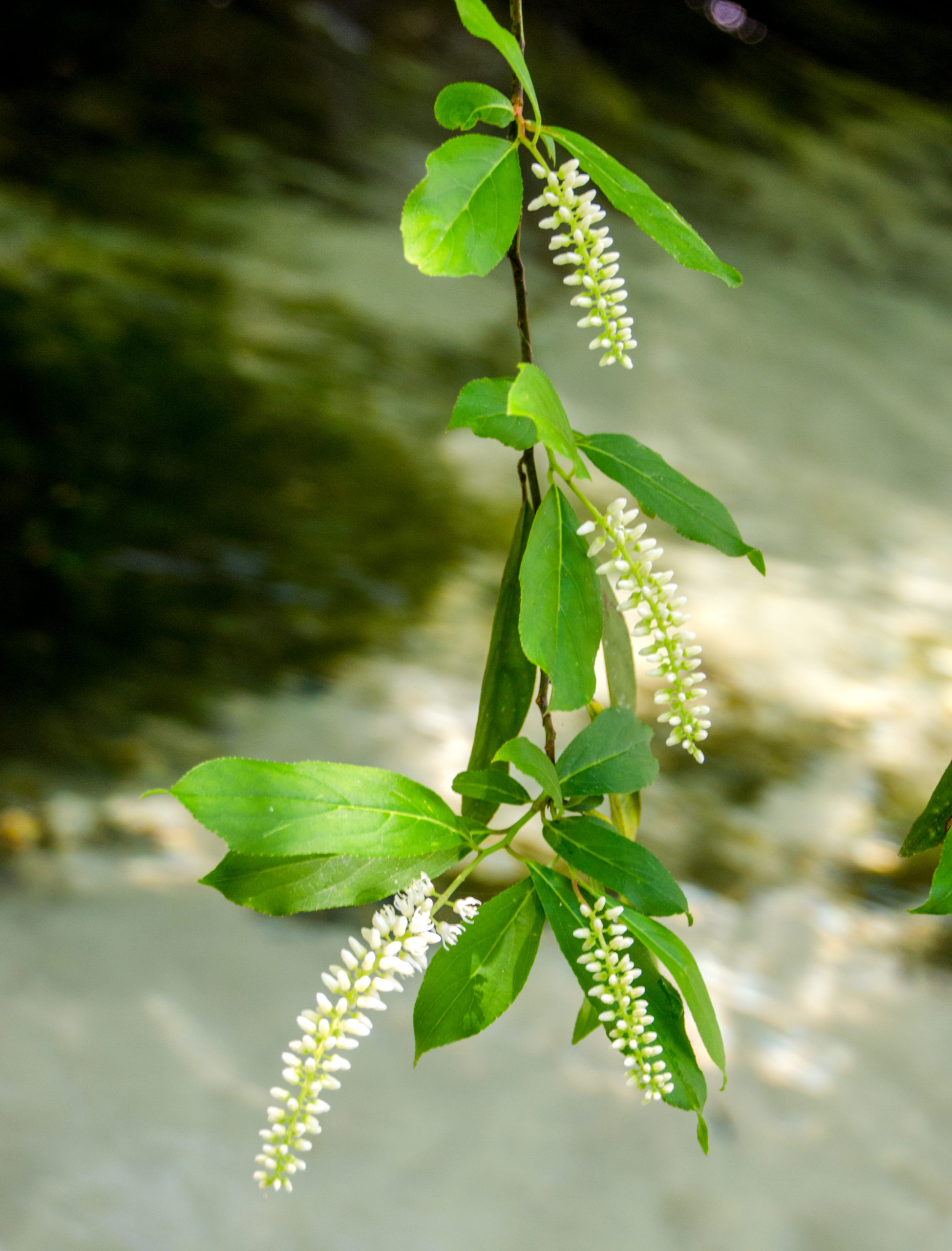
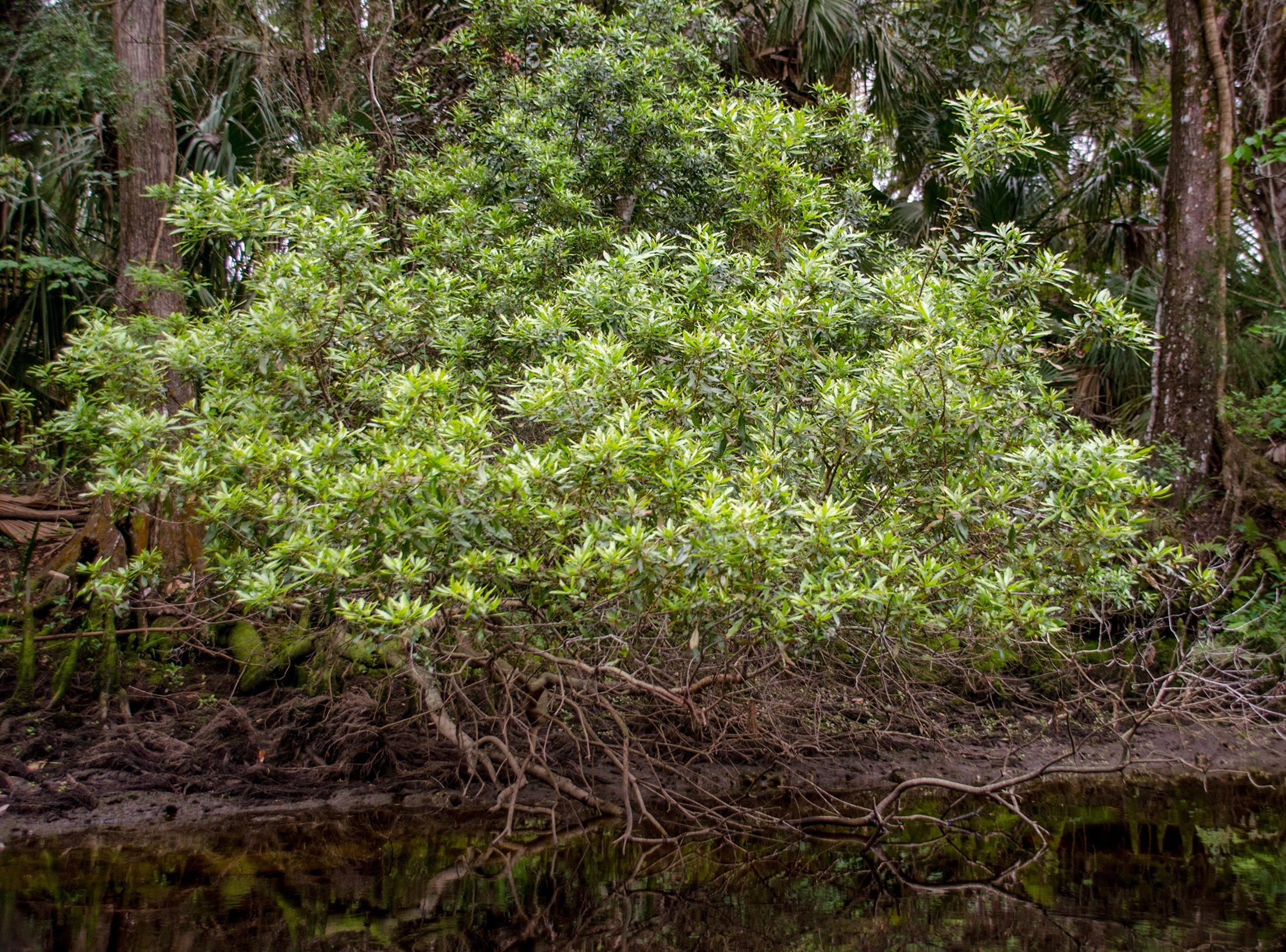
There is not much to say about the barge canal. It is a 250′ open canal leading to the Gulf of Mexico. There are shrubs and scrub trees along the banks. If need be it is possible to exit your kayak and get on the bank for a rest. Wax Myrtle, Willows, and Pines are among the trees and plants along this stretch.
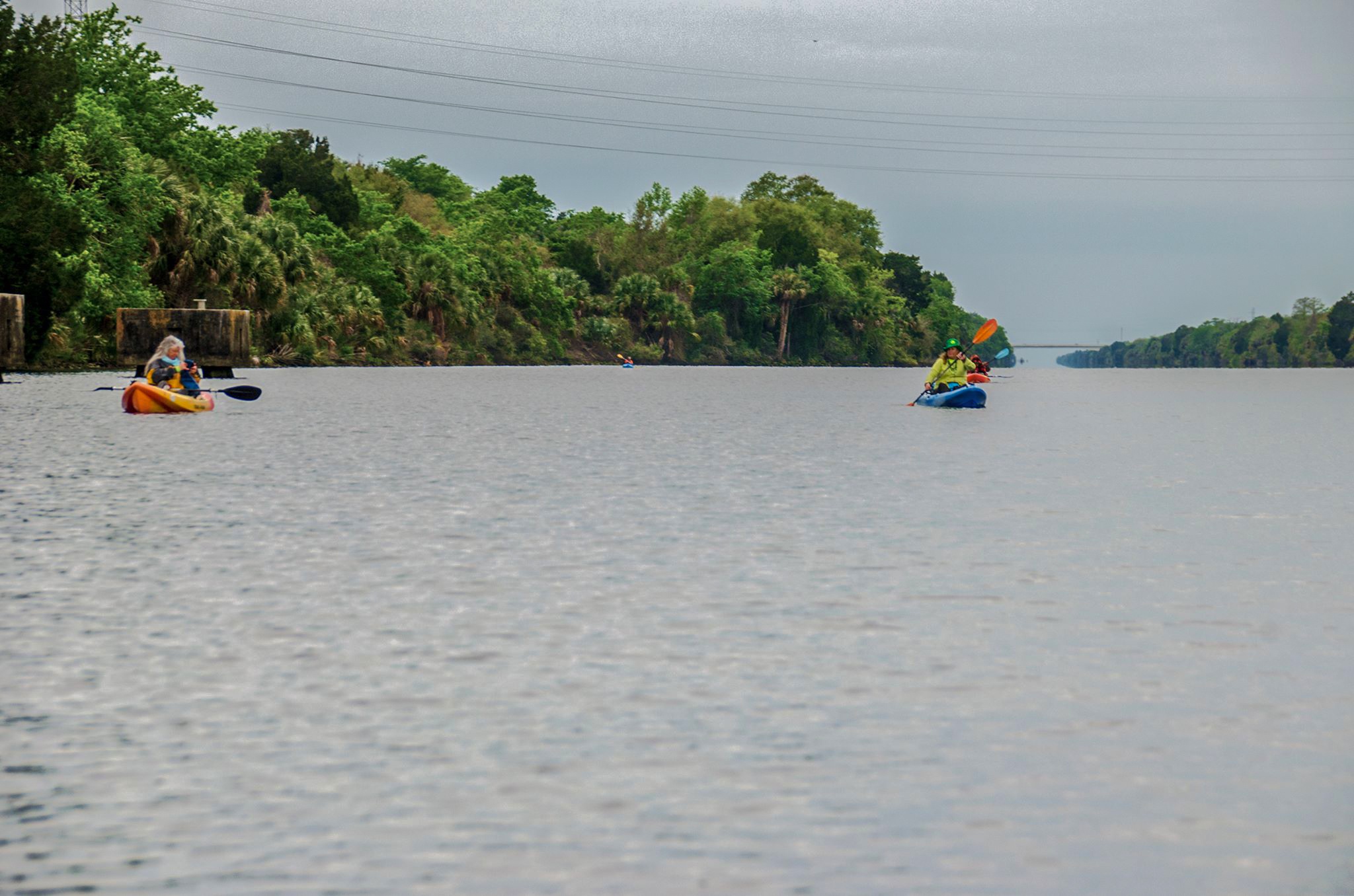
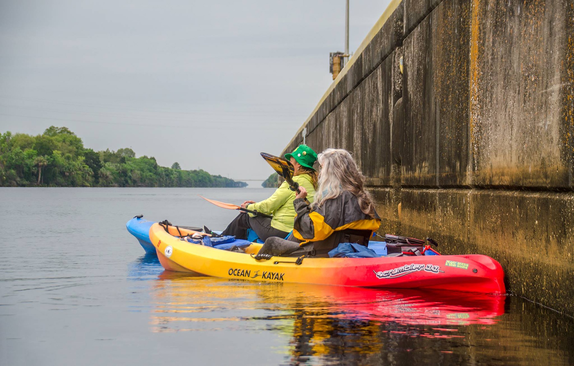
On this breezy, cool, wet & cloudy day, it was a rough 2.8-mile paddle from the lock to the take-out on Suncoast Highway and a pleasure to get dry and warm before returning to the campground. That is about all I can say about it.
Guides, Maps & Info…
- Inglis Lock Topo Map…
- Inglis Lock Recreational Area…
- Inglis Dam Water Levels…
- Cross Florida Greenway – Inglis…
- Lake Rousseau Recreational Area…
![]()