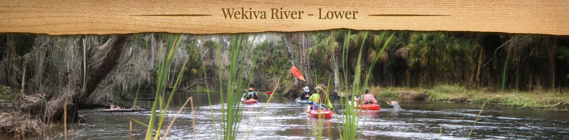
Bulow Creek North Overview

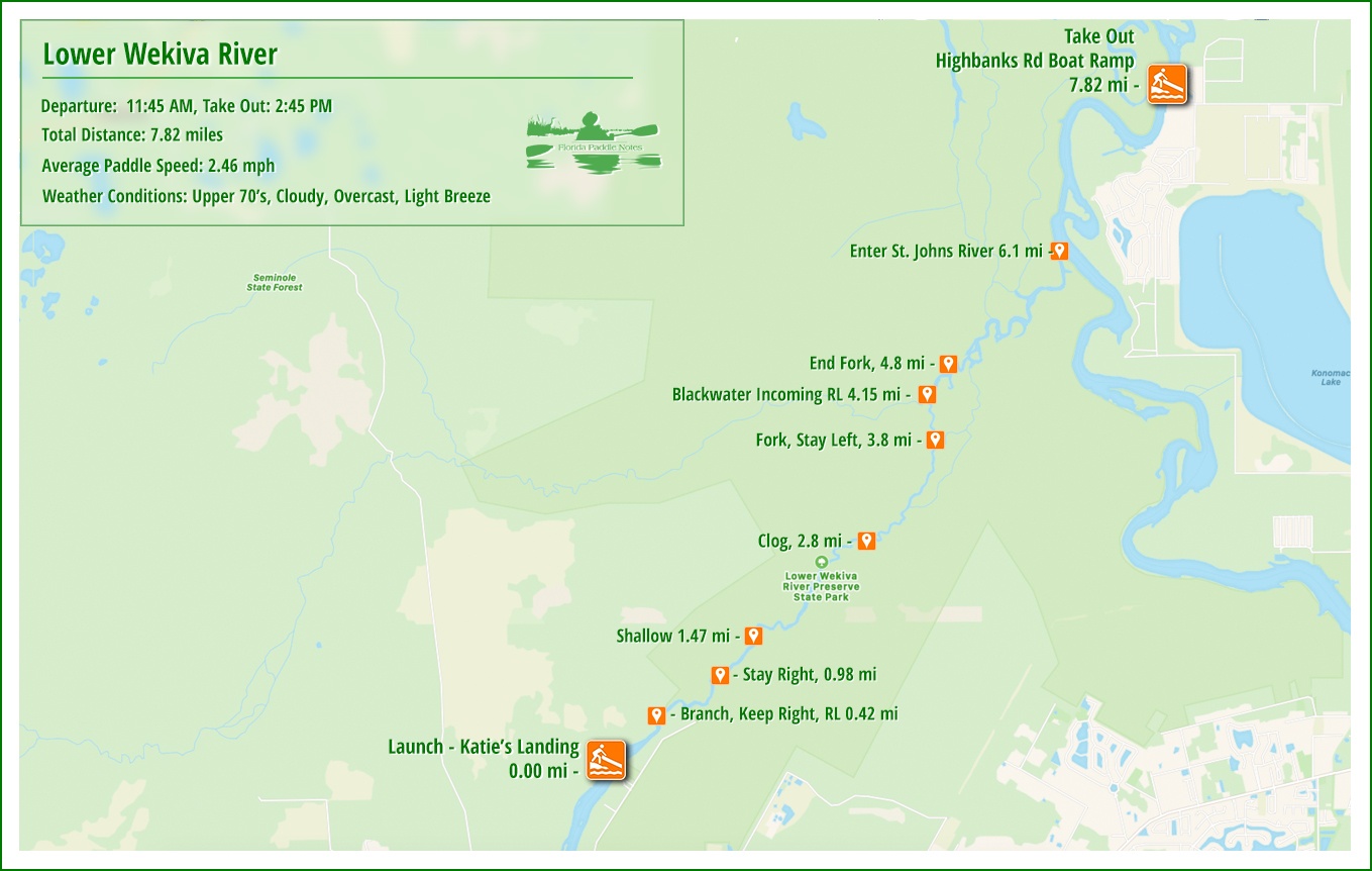
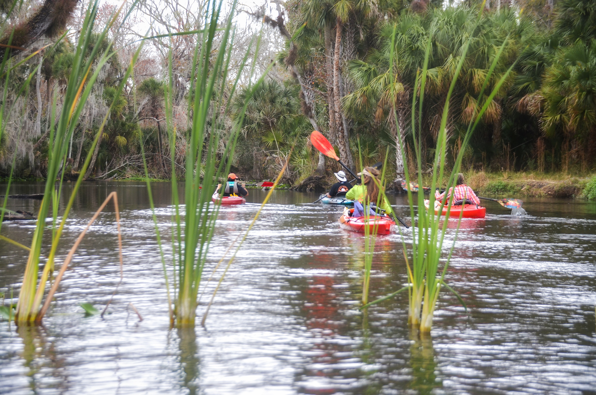
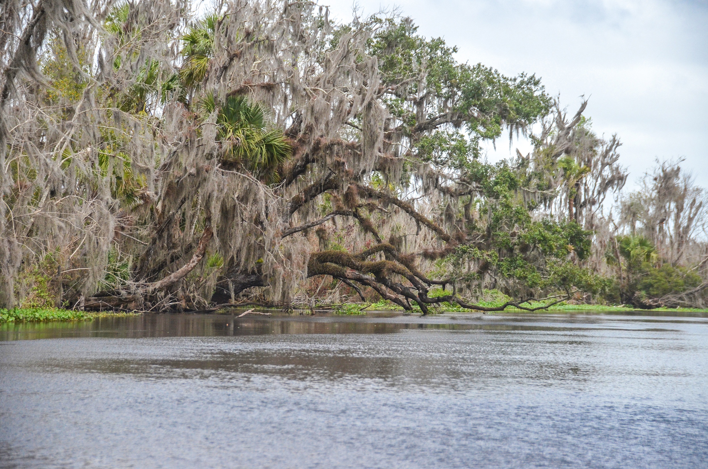
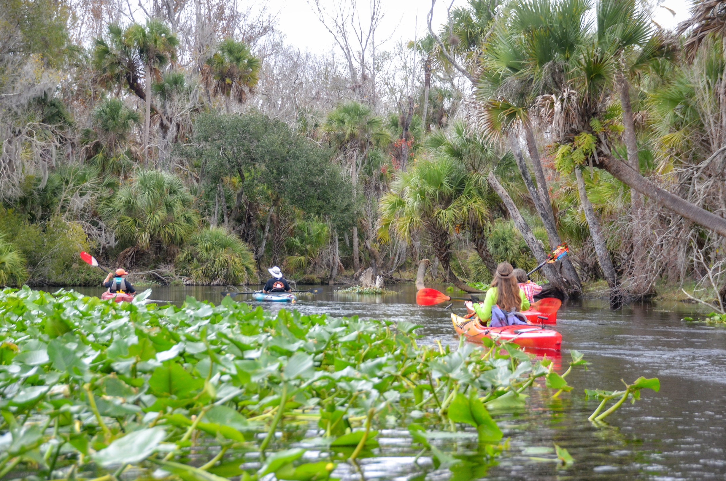
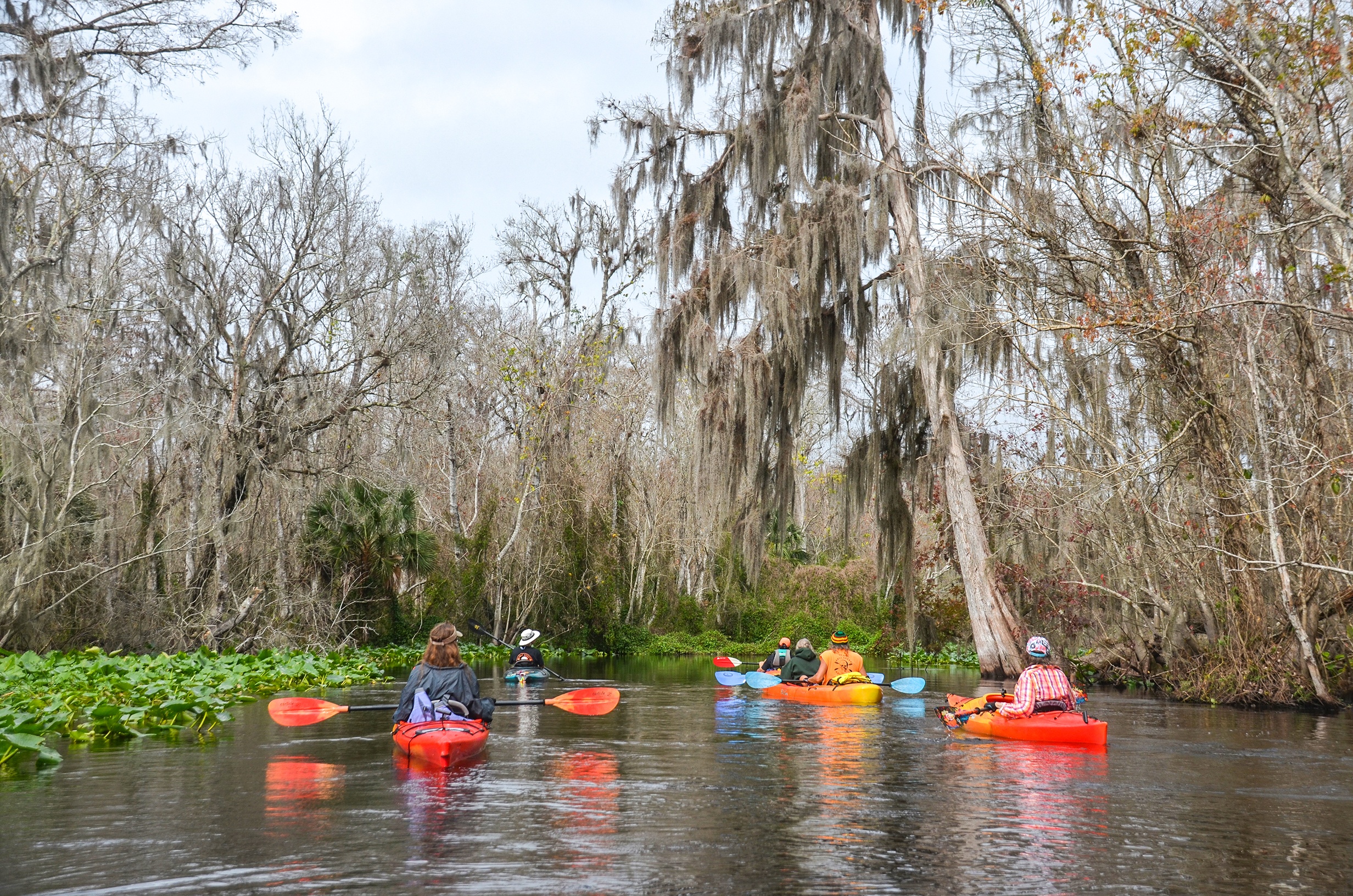
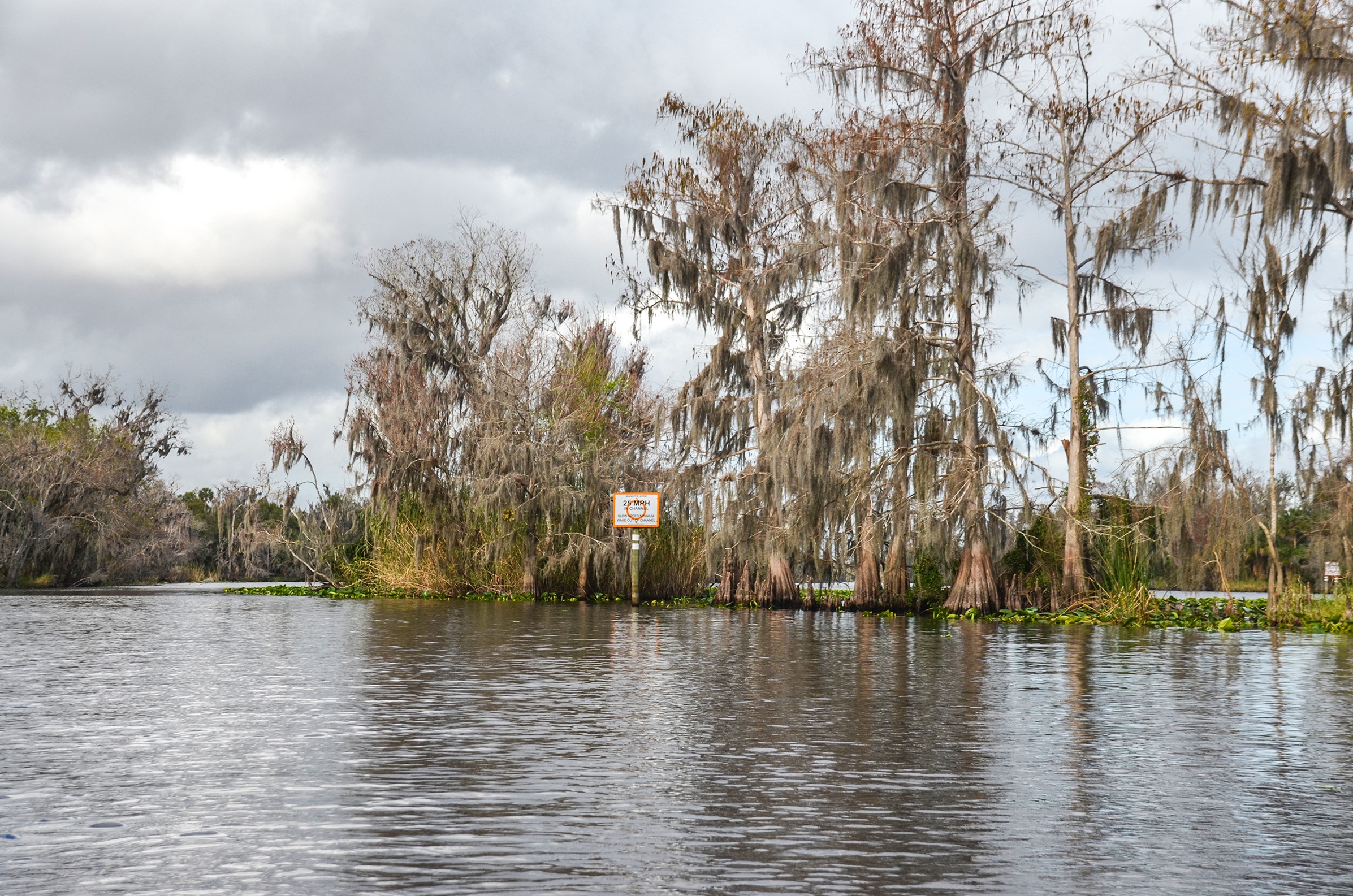
The Lower Wekiva River, from Katie’s Landing to the Highbanks Boat Ramp, offers a scenic stretch of approximately 10 miles through one of Central Florida’s most picturesque river corridors. Beginning at Katie’s Landing—a popular put-in with parking and facilities—the river flows north and then east, bordered by hardwood swamp, cypress stands, and lush hammocks. The waterway is generally slow-moving, with broad bends and occasional sandbars, making it suitable for paddlers of all skill levels.
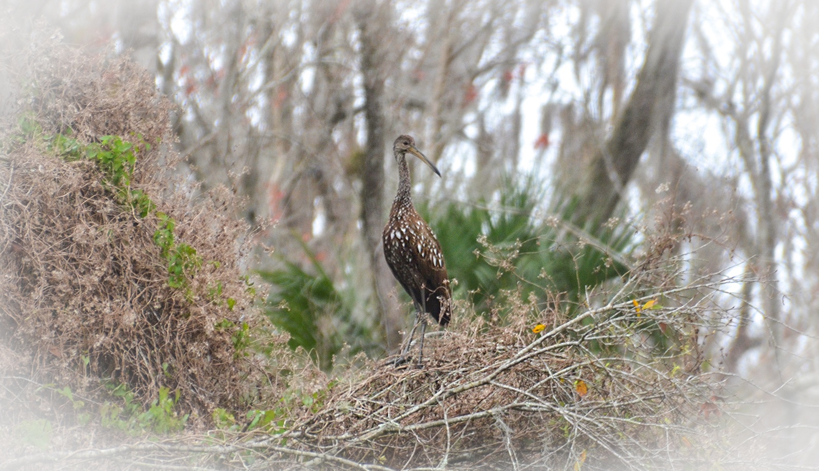
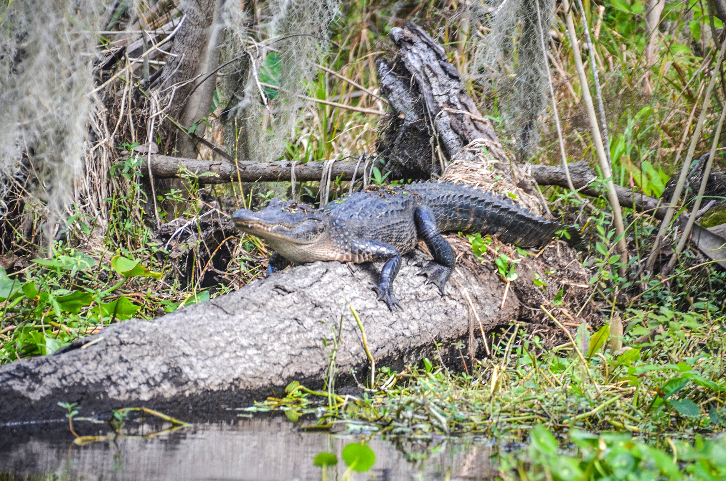
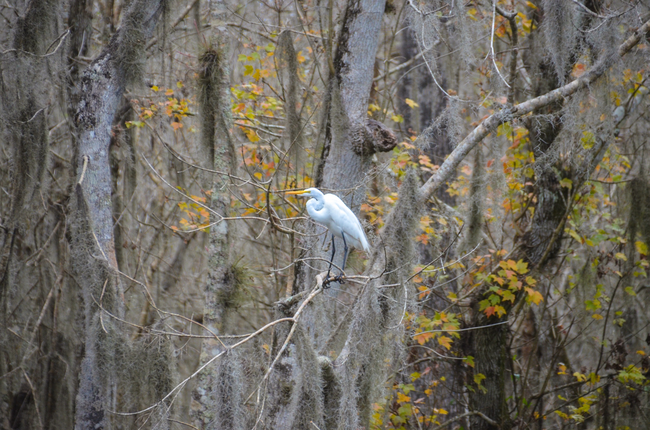
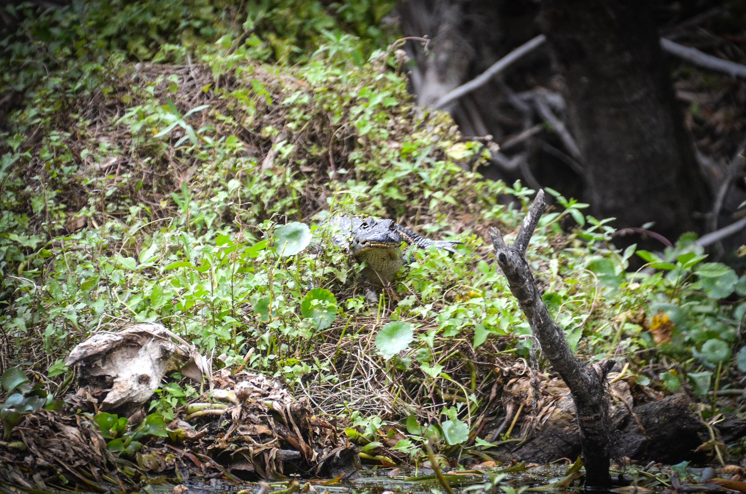
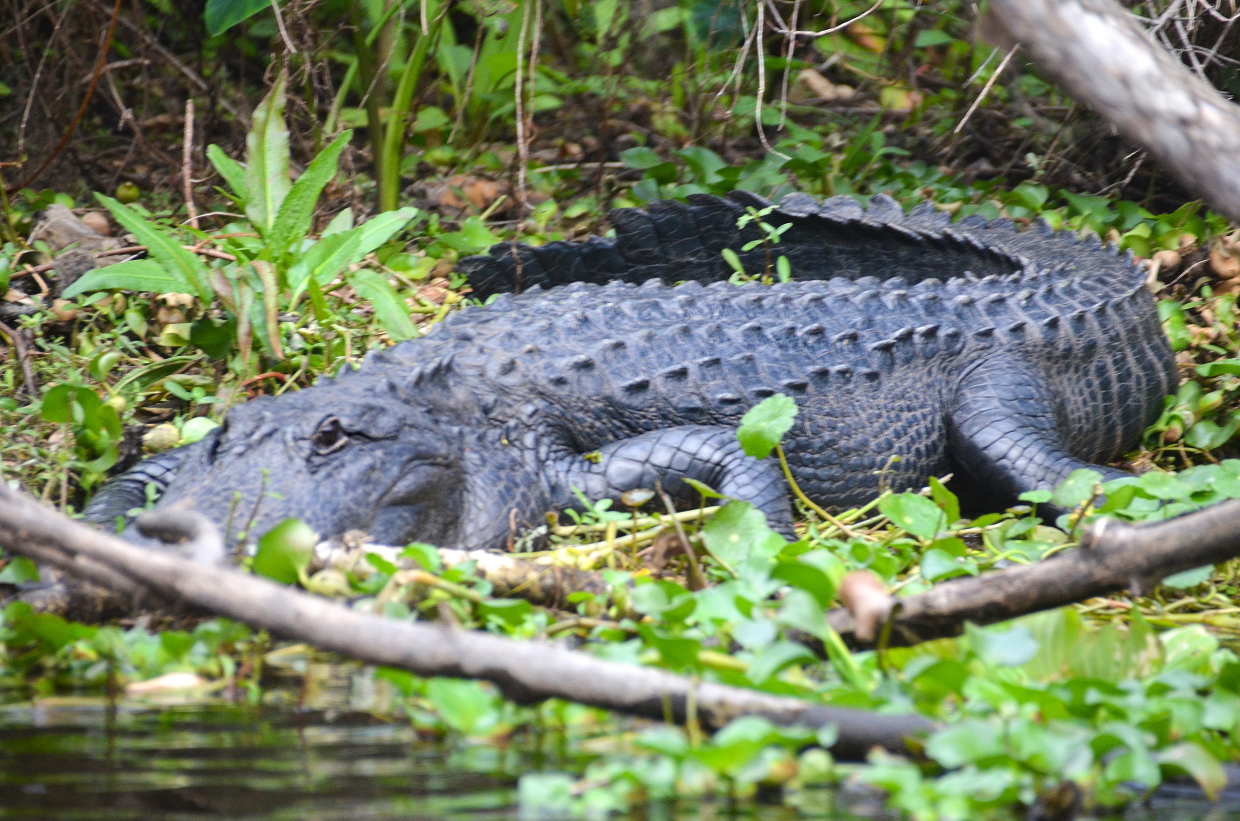
Along this route, the river passes through portions of the Lower Wekiva River Preserve State Park, where wildlife sightings are common, including manatees, river otters, wading birds, and large alligators. The river remains relatively undeveloped, with a quiet, natural feel, though there are occasional homes and docks in the lower sections near Highbanks. The journey ends at the Highbanks Boat Ramp, a larger access point with boat traffic, especially on weekends. This stretch of the Wekiva is prized for its mix of shaded canopy, open runs, and abundant wildlife, making it a favorite among paddlers seeking a day trip through classic Florida river scenery.
![]()

Lower Wekiva River Details
![]() Location: This 8 mile section of the Lower Wekiva River is located 4 miles NW of Lake Monroe, Fl.
Location: This 8 mile section of the Lower Wekiva River is located 4 miles NW of Lake Monroe, Fl.
![]() Launch point(s): The launch for this paddle is Katie’s Landing, located at 262 Wekiva Park Drive, Sanford, FL 32771.
Launch point(s): The launch for this paddle is Katie’s Landing, located at 262 Wekiva Park Drive, Sanford, FL 32771.
![]() Paddle Distance: 7.82 miles
Paddle Distance: 7.82 miles
![]() Difficulty: Easy…unless the winds are strong on the St. Johns River…the last 1.5 miles.
Difficulty: Easy…unless the winds are strong on the St. Johns River…the last 1.5 miles.
 Average Paddle Speed: 2.46 mph.
![]() Width and Depth: The width at the launch is probably the widest of the entire river, being 400′ wide. Just under a 1/2 mile downstream it narrows to 100′ and gradually stays 50′ for most of the paddle before once again widening to 100′ at the St. Johns River. The average depth on this paddle was 6.5′
Width and Depth: The width at the launch is probably the widest of the entire river, being 400′ wide. Just under a 1/2 mile downstream it narrows to 100′ and gradually stays 50′ for most of the paddle before once again widening to 100′ at the St. Johns River. The average depth on this paddle was 6.5′
![]() Current – Tidal: The current is very minimal.
Current – Tidal: The current is very minimal.
![]() Side Paddles: NA
Side Paddles: NA
![]() Rest Areas: Restrooms available at the launch at Katie’s Landing and a Port-a-Potty at the end at High Banks Road Boat Launch.
Rest Areas: Restrooms available at the launch at Katie’s Landing and a Port-a-Potty at the end at High Banks Road Boat Launch.
Lower Wekiva River Paddle Map
Katie’s Landing
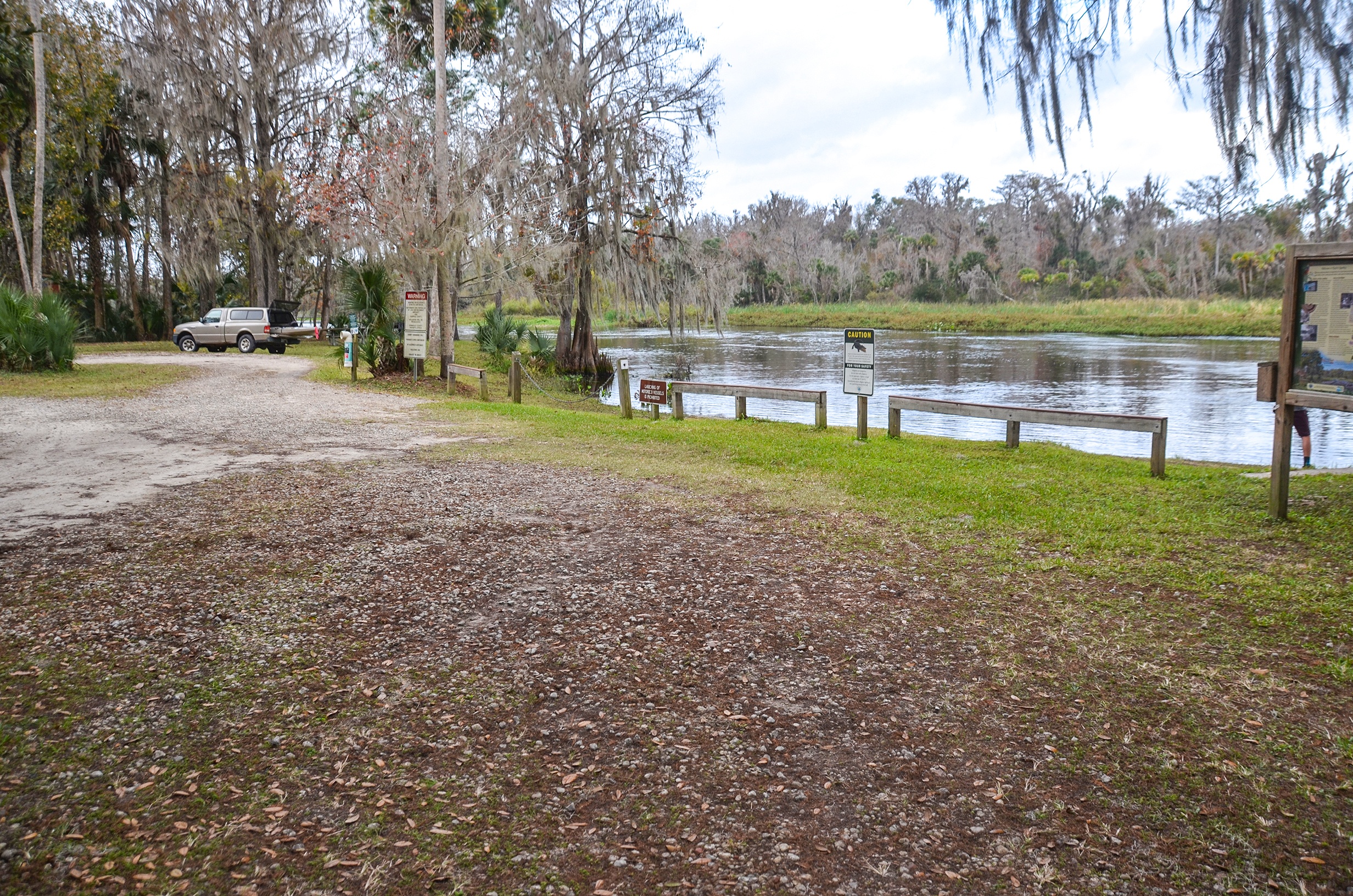
Katie’s Landing is a nice launch, and is owned by the state, now a part of Lower Wekiva River Preserve State Park. lt is only for kayaks, canoes and paddle boards and a soft launch. Plenty of parking, restroom facilities, picnic tables and grills. The fee is $3.00 per vehicle.
The Wekiva River
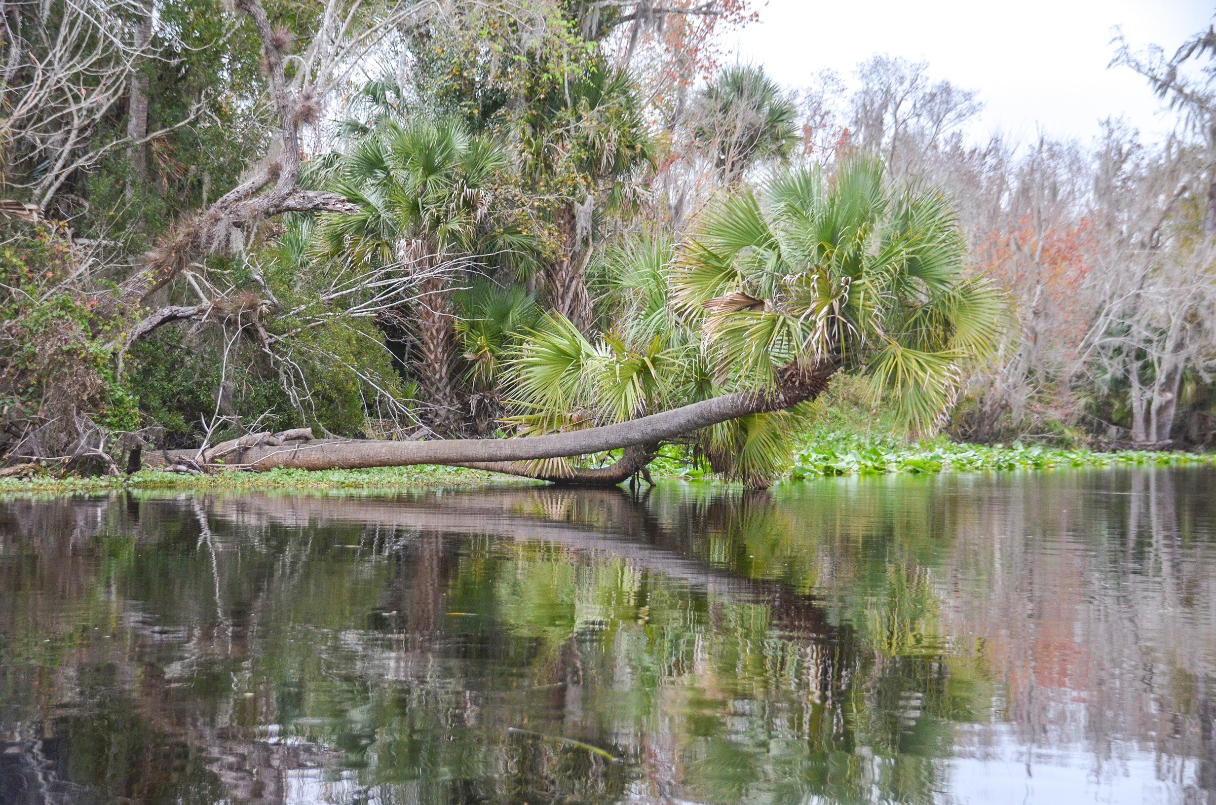
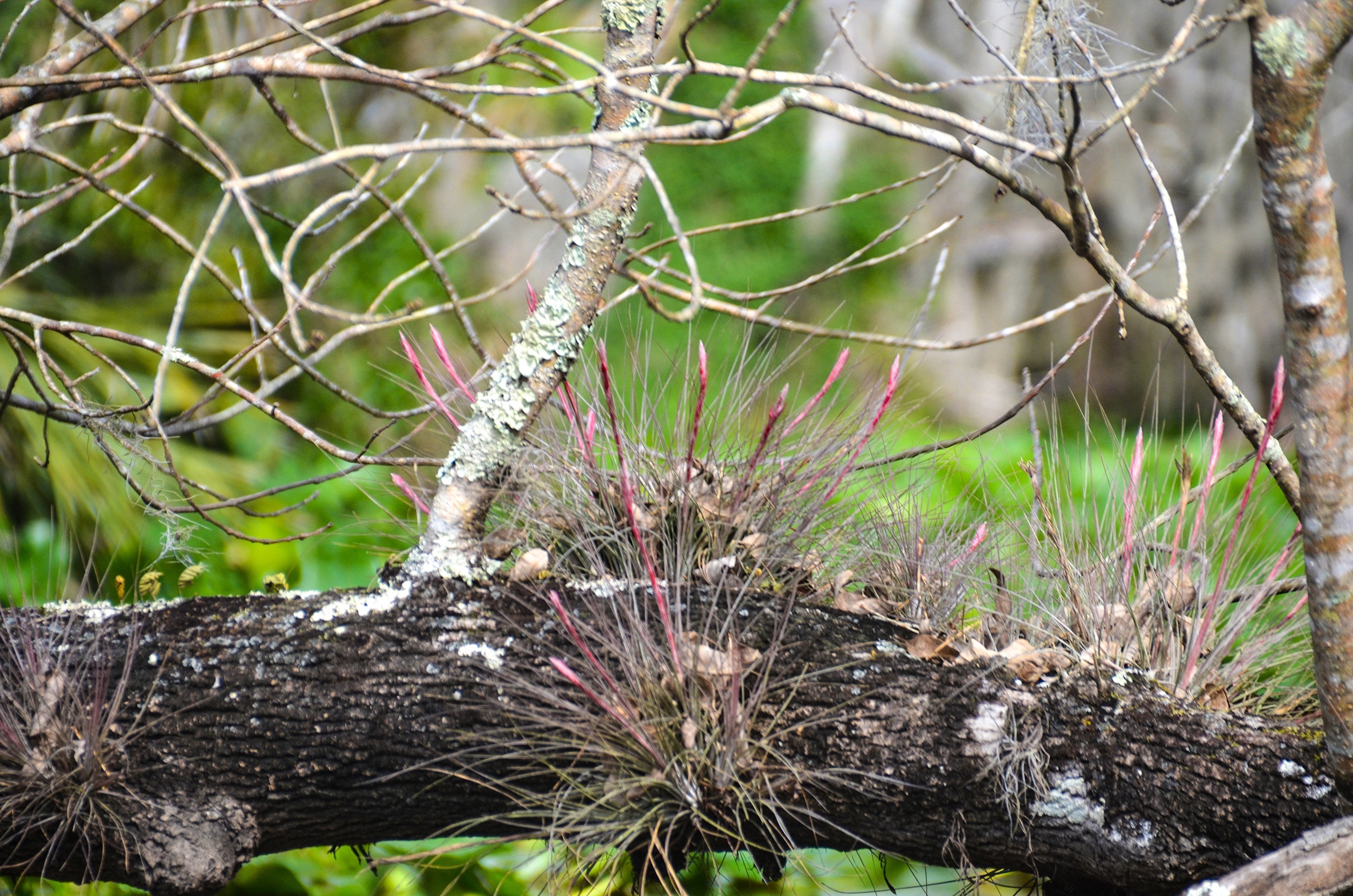
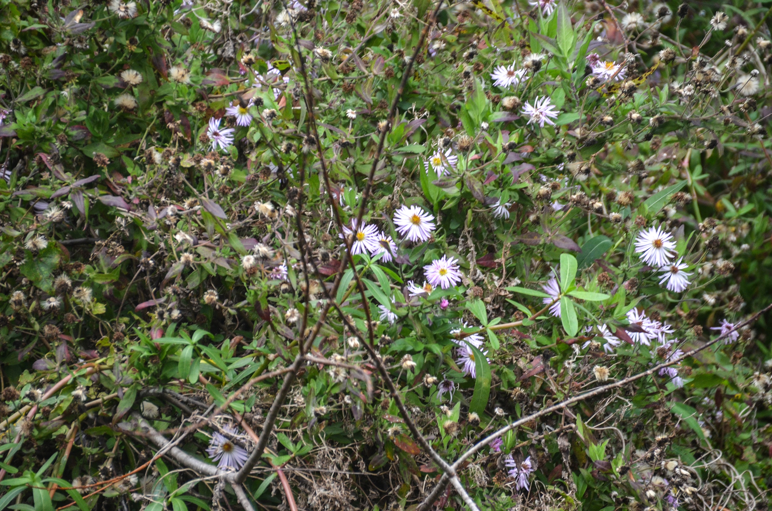
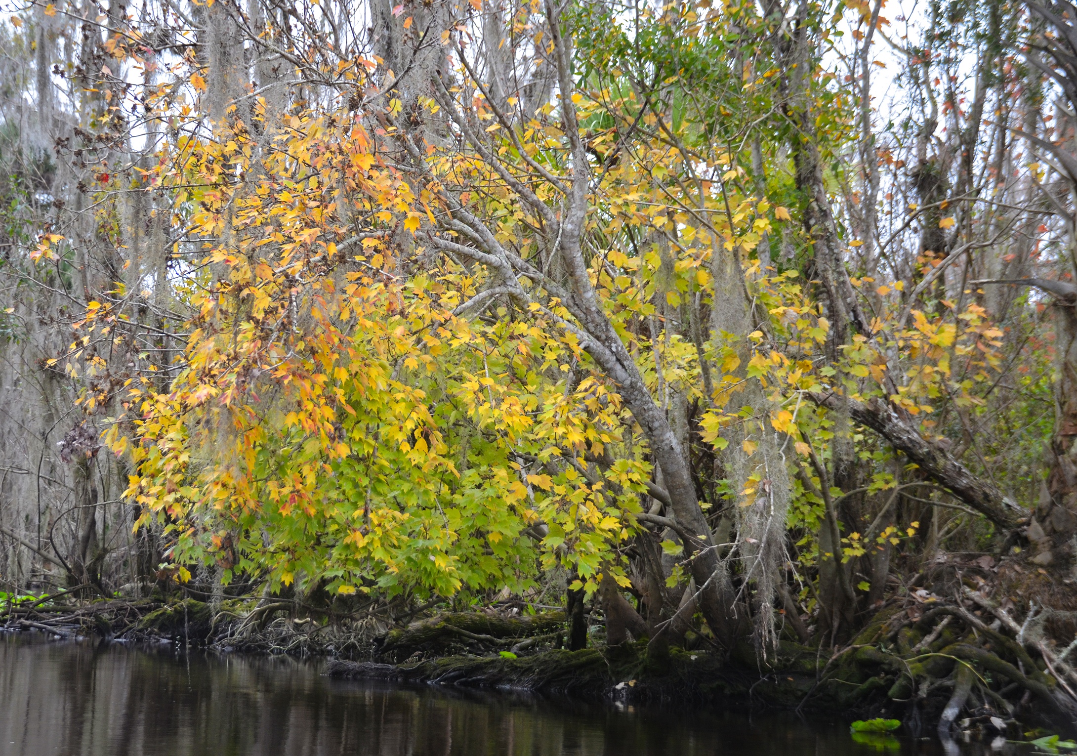
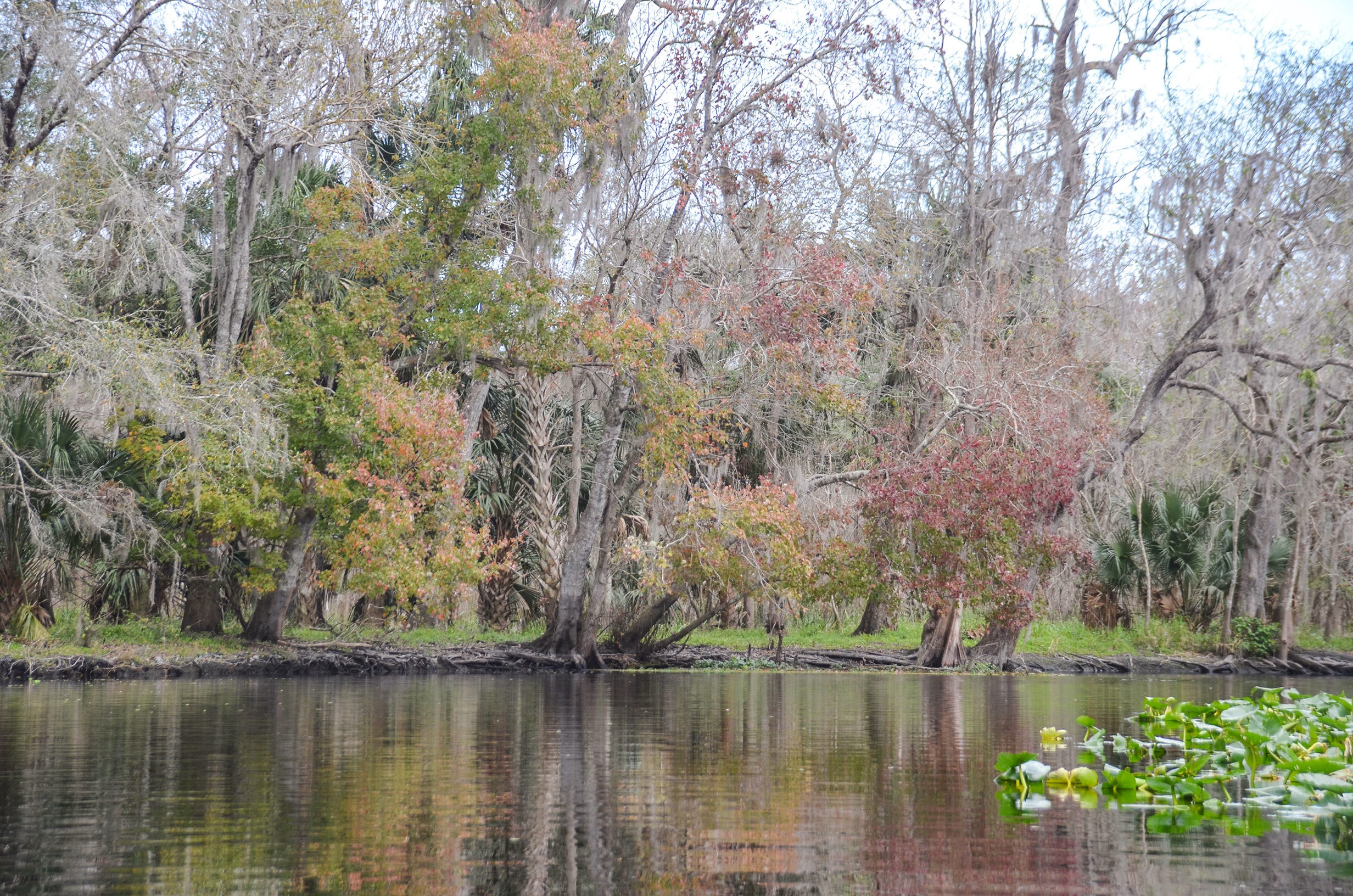
Despite being cloudy and a slight drizzle at the beginning this turned out to be a nice paddle. It was still winter, so many of the trees were still without leaves, however the patches of palms provided welcomed shades of greens while the Red Maples and Gum trees offered some reds and yellows. Climbing Asters provided occasional splashes of violet. Wildlife was plentiful, Gators, Egrets, Turkeys and Limpkins throughout the paddle.
I definitely will return to this section during the summer when all the leaves are on the trees and the sun is shining!
Lower Wekiva River Gallery


Guides, Maps & Info…
- Lower Wekiva River Topo Map…
- Lower Wekiva River Preserve State Park Topo Map…
- Lower Wekiva River State Park…
- Paddle Wekiva Map Brochure…
- Wekiva Paddle Guide…
- Katie’s Landing Park…
- USGA Water Levels – Wekiva River…
- Wekiva Outfitters…
- Wekiva Island Rentals…
![]()