Cannon Springs ~ Ocklawaha Overview

Paddling the Ocklawaha River is always an invitation to adventure. The historic river has a unique history that continues to be in news every year due to the Rodman Dam. The paddle today was on a 7-mile portion of the lower Ocklawaha between Eureka at Hwy 316 and Paynes Landing. Our goal was to visit Cannon Springs and Tobacco Patch Landing Springs, both usually covered and hidden by the high water created by the reservoir.
Currently, there is a ‘draw-down’ of the reservoir where the water level goes from an average of 18′ – 20′ down to 11′, exposing many ‘hidden’ springs that are covered prior to a draw-down.
A more detailed look into the river and dam is in a previous post from Florida Paddle Notes here…James
Cannon Springs ~ Ocklawaha Details
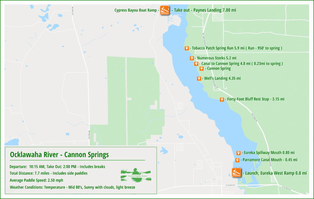
![]() Location: The ‘Lower’ Ocklawaha River is usually considered the section from the Eureka Dam on Hwy 316 East of Ft. McCoy, to its confluence with the St. Johns River. We paddled a 7 mile section of this section from the Eureka Dam to Paynes Landing, 7 miles down river ( to the North )
Location: The ‘Lower’ Ocklawaha River is usually considered the section from the Eureka Dam on Hwy 316 East of Ft. McCoy, to its confluence with the St. Johns River. We paddled a 7 mile section of this section from the Eureka Dam to Paynes Landing, 7 miles down river ( to the North )
![]() Launch point: The launch for this paddle is Eureka Boat Ramp West, 15399 NE 152nd Place, Fort McCoy, 32134.
Launch point: The launch for this paddle is Eureka Boat Ramp West, 15399 NE 152nd Place, Fort McCoy, 32134.
Take Out point: The launch for this paddle is Paynes Landing, also known as Cypress Bayou Boat Ramp, NE 203 Street, Fort McCoy, 32134. Read a unique history about Paynes Landing below.
![]() Paddle Distance: 7.7 miles, includes paddle into Cannon Springs
Paddle Distance: 7.7 miles, includes paddle into Cannon Springs
![]() Difficulty: Easy…today there was no boat traffic, current was good and a slight breeze at our backs. An attempt to get to Tobacco Patch Spring was thwarted at the halfway mark by a thick Water Lettuce clog.
Difficulty: Easy…today there was no boat traffic, current was good and a slight breeze at our backs. An attempt to get to Tobacco Patch Spring was thwarted at the halfway mark by a thick Water Lettuce clog.
 Average Paddle Speed: 2.75 mph.
![]() Width and Depth: The width is deceiving due to the thick border of aquatic vegetation that line the shorelines. At the launch, the actual river is about 250′ wide, the navigational portion being 140′ wide. At Paynes Landing, the take out, the actual river is over 900′ wide, with the navigational portion being around 125′
Width and Depth: The width is deceiving due to the thick border of aquatic vegetation that line the shorelines. At the launch, the actual river is about 250′ wide, the navigational portion being 140′ wide. At Paynes Landing, the take out, the actual river is over 900′ wide, with the navigational portion being around 125′
![]() Current – Tidal: The current was excellent today, water flowing around 3 mph
Current – Tidal: The current was excellent today, water flowing around 3 mph
![]() Side Paddles: Our main side paddle was to Cannon Spring, accessed from a canal at 4.8 mile, RR. The canal and run totaled 0.23 mi to the spring.
Side Paddles: Our main side paddle was to Cannon Spring, accessed from a canal at 4.8 mile, RR. The canal and run totaled 0.23 mi to the spring.
![]() Rest Areas: Port-a-Potties at the launch and a few places to stop along the way, one nice area is at the Forty-Foot Bluff area, near 3.15 mi.
Rest Areas: Port-a-Potties at the launch and a few places to stop along the way, one nice area is at the Forty-Foot Bluff area, near 3.15 mi.
Cannon Springs ~ Ocklawaha Paddle Map
Eureka West Launch
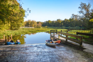
Eureka West Launch is a nice concrete ramp with a small dock. There is ample room to stage and unload and parking is plentiful. There are two port-a-potties.
This was a beautiful, sunny day at launch, the river had a nice flow to it and there was a pleasant light breeze…at our backs! ( for a change 🙂 ). We headed down river on a relaxing paddle, temps in the low 80’s.
The Lower Ocklawaha
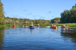
The river in this section at the launch is 240′ wide however due to the large amount of Water Hyacinth, Dollarweed and Water Lettuce, the navigation are is just 140′.
With the draw-down in effect, boat traffic was minimal today and it was clear that the water level was a little over 3′ lower than usual. The current moved well.
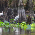
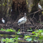
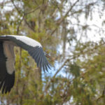
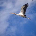
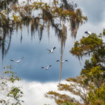
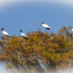
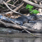
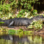
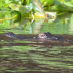
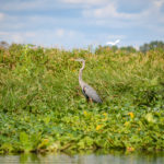
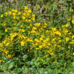
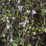
Wildlife was abundant, especially the birds. As usual, Herons, Egrets, Ibis, Limpkins and Kingfishers were on full display, but today was the day of the Wood Storks. They were numerous, especially at the 5.00 mile mark. The flapping of their wings could be heard as they scattered and took spots high in the trees and along the banks. Several gators were also enjoying this beautiful weather. Clumps of Yellow Sunflower Tickseed and Elliots Aster brought color along the shorelines as did several Swamp Lilies.
The Lower Ocklawaha Photo Gallery
Cannon Springs
At mile 4.8 on RR we entered the canal that leads to Cannon Springs Run. The canal is canopied and about 500′ long, Keeping to the right, it is another 735′ to Cannon Springs on a picturesque run. The spring is visible from the surface and a good landmark is the leaning tree on shore.
The spring used to be called Wells Landing Spring and it belongs to a group of springs called Cannon Springs Group. The water around this 3rd magnitude spring was clear of any tannins, with clear blue color and numerous small fish. We spend time here, some snorkeled the spring and run, then we headed further downstream to Tobacco Patch Landing Springs which we were only able to paddle halfway up the 1000’+ run due to thick Water Lettuce clogs.
Our final destination was Paynes Landing. The actual boat ramp run, also known as Cypress Bayou Boat Ramp was totally clogged and almost dry. The road to the river was rough with a big water hole. Fortunately the county dumped a pile of rock into the hole to allow passage of vehicles…which we used to reach the river and load up.
An awesome day for sure and a treat to see one of the ‘Hidden Springs’ Cannon Springs. We plan to return at full draw-down and paddle the original Ocklawaha River as it flows into the reservoir.
Guides, Maps & Info…
- Eureka Topo Map…
- Tobacco Patch Topo Map…
- Ocklawaha Water Level Info at Eureka…
- Ocklawaha River Remembered-Imagined…
- Great Florida Riverway – Cannon Springs..
- History – Treaty of Paynes Landing…
- Ocklawaha Canoe Outpost & Resort…
- The Springs of the Ocklawaha River, Florida: Rodman Dam to Eureka Dam…
- An Ocklawaha River Information Mini-Page…
- Whitey Markle on the Ocklawaha River…
- Searching for—and Finally Finding—Cannon Springs, by Whitney Sanford…
- Save Rodman Reservoir, Inc…
- Free the Ocklawaha, Info and Videos…
- Additional Ocklawaha River posts by Florida Paddle Notes…
![]()

