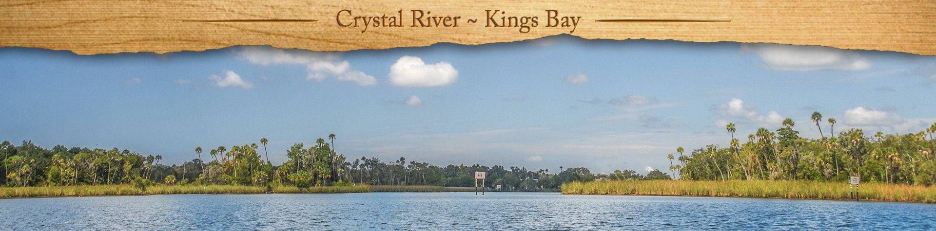
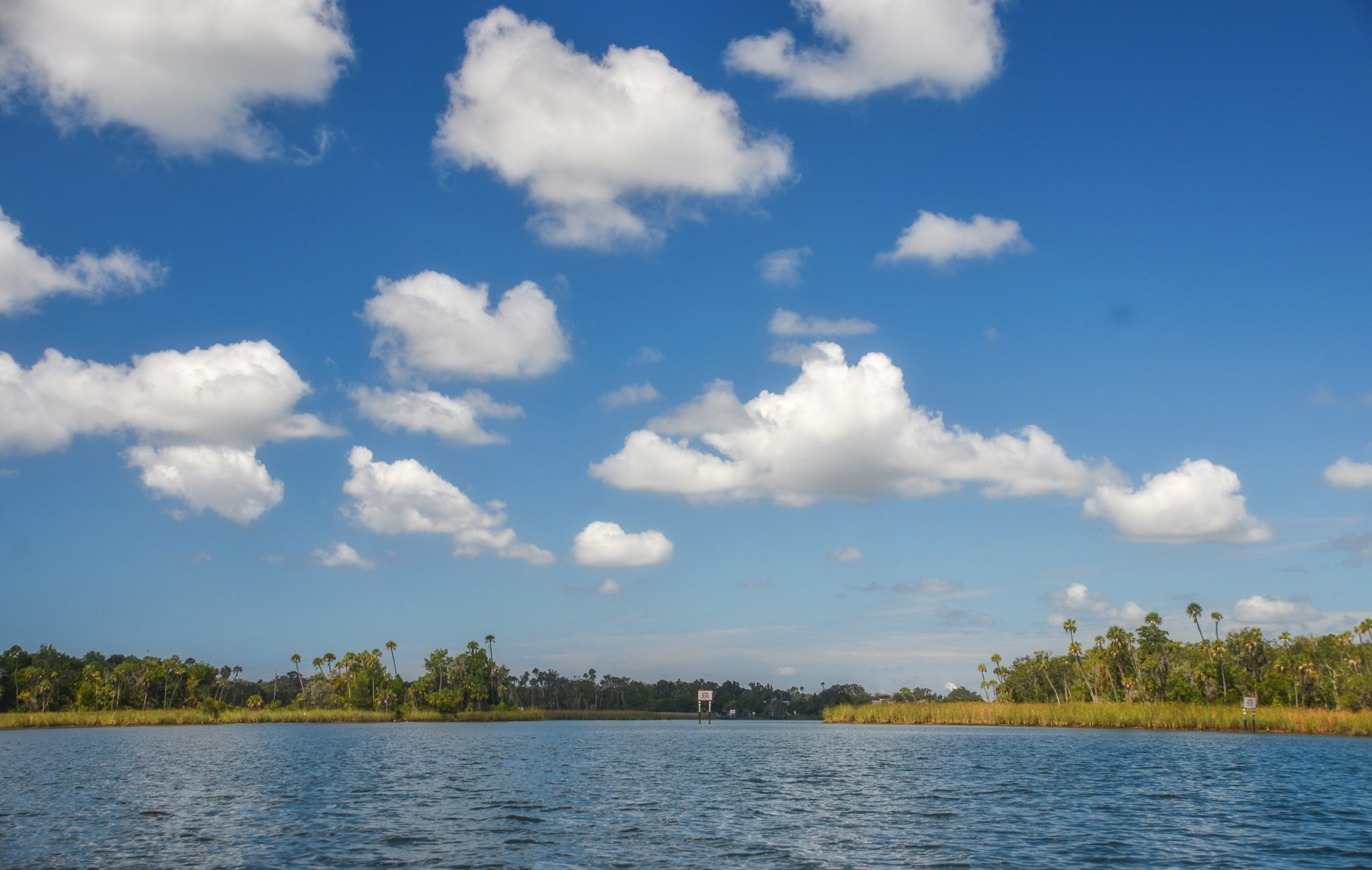
Crystal River ~ Kings Bay Overview

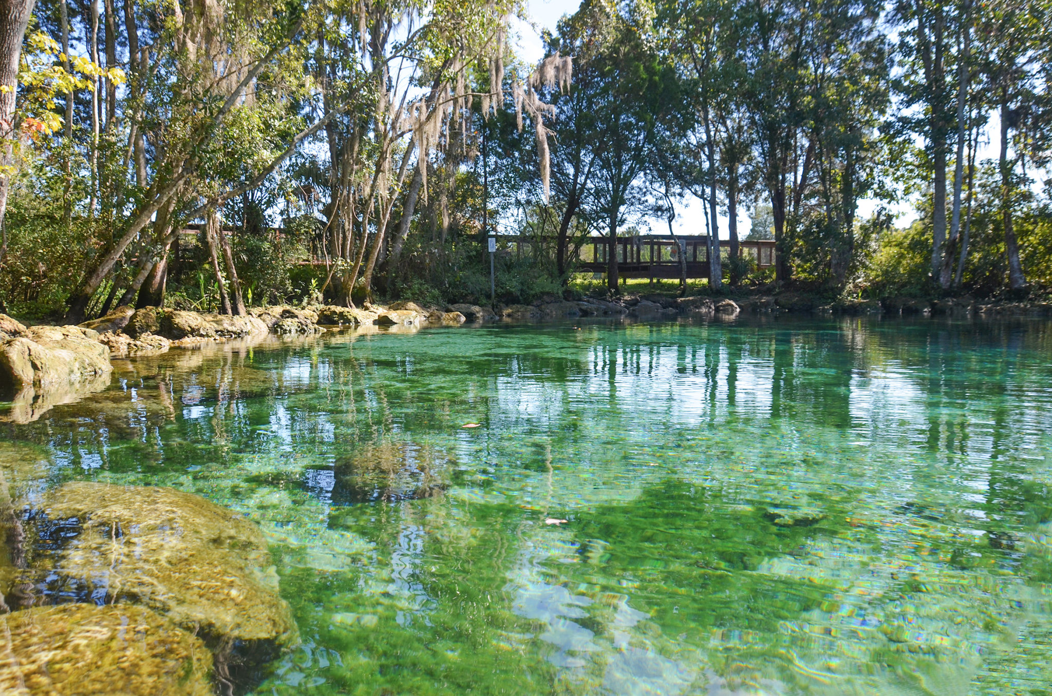
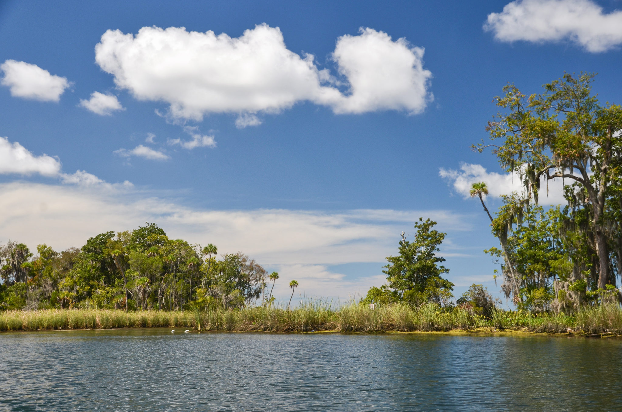
Crystal River, a designated Outstanding Florida Waterway, is a 7-mile-long river located in Citrus County. The river has over 30 springs that contribute over 300 million gallons of water a day. It is the second largest spring group in Florida, the first being Wakulla Springs.
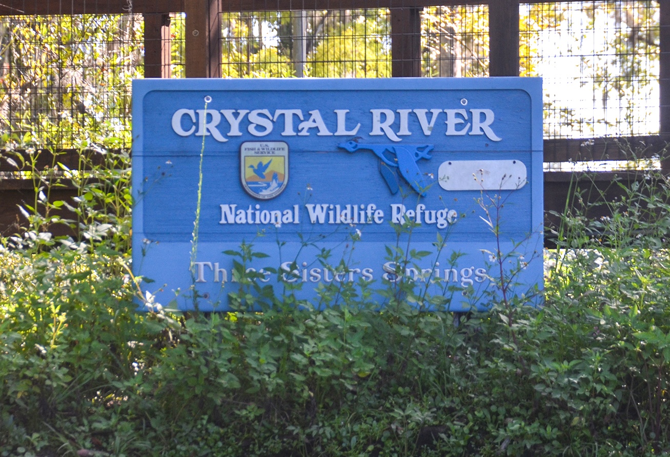
The headwater of Crystal River is Kings Bay, the home of the Crystal River National Wildlife Refuge and Three Sisters Springs. Due to the numerous springs that keep the water 72° year round, Crystal River and Kings Bay attract hundreds of manatees during the winter months. Crystal River is often considered the most important refugee for manatees in the United States.
Crystal River is also the home of Crystal River Archaeological State Park, an early Native American settlement. Crystal River was once known as Weewahiiaca, believed to be from the Creek language words wewa, meaning “water”, and haiyayaka, meaning “clear” ( from floridaheritage.com ).

Crystal River ~ Kings Bay Details
![]() Location: Crystal River is located in Citrus County, Fl, near the town of the same name, Crystal River
Location: Crystal River is located in Citrus County, Fl, near the town of the same name, Crystal River
![]() Launch Point for this Paddle: Hunter Springs Park – 104 NE 1st Ave. Crystal River, FL 34429. Fee $5.00
Launch Point for this Paddle: Hunter Springs Park – 104 NE 1st Ave. Crystal River, FL 34429. Fee $5.00
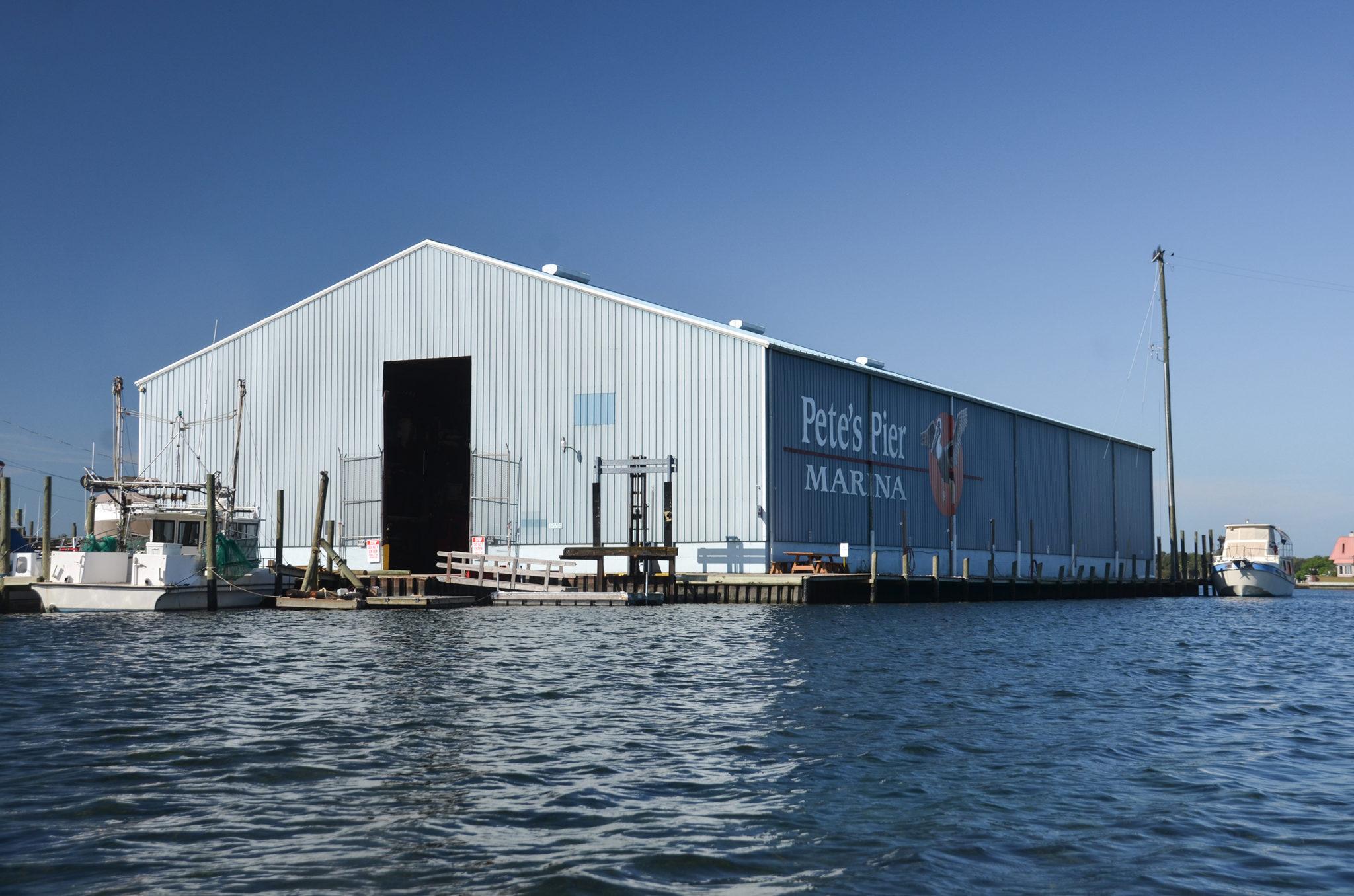
Additional launch point: Pete’s Pier, 1 SW 1st Place, Crystal River, FL 34429 Tel: (352) 795-3302. Fee $5.00
![]() Paddle Distance: 5.35 miles
Paddle Distance: 5.35 miles
![]() Difficulty: Easy. Wind can be a factor but not today.
Difficulty: Easy. Wind can be a factor but not today.
![]() Average Paddle Speed: 1.8 mph…many photo stops
Average Paddle Speed: 1.8 mph…many photo stops
![]() Width and Depth: Kings Bay is shallow from just inches to 12′ in the main channel.
Width and Depth: Kings Bay is shallow from just inches to 12′ in the main channel.
![]() Current – Tidal: Tidal, approximately 2.5′
Current – Tidal: Tidal, approximately 2.5′
![]() Side Paddles: There are numerous places to explore in Kings Bay, as well as continuing out on Crystal River.
Side Paddles: There are numerous places to explore in Kings Bay, as well as continuing out on Crystal River.
![]() Rest Areas: There are restrooms at Hunter Springs Park as well as at Pete’s Pier.
Rest Areas: There are restrooms at Hunter Springs Park as well as at Pete’s Pier.
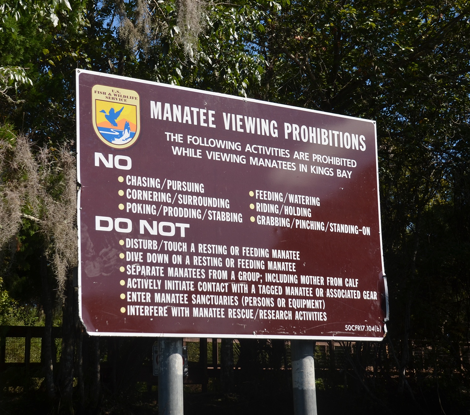
![]() Important Information: Watch the tides, bring sunscreen, and check on wind conditions. During manatee season watch out for manatees, numerous divers, and boats. Please obey the Manatee Viewing Prohibitions.
Important Information: Watch the tides, bring sunscreen, and check on wind conditions. During manatee season watch out for manatees, numerous divers, and boats. Please obey the Manatee Viewing Prohibitions.
Crystal River ~ Kings Bay Paddle Map

Hunter’s Park Launch
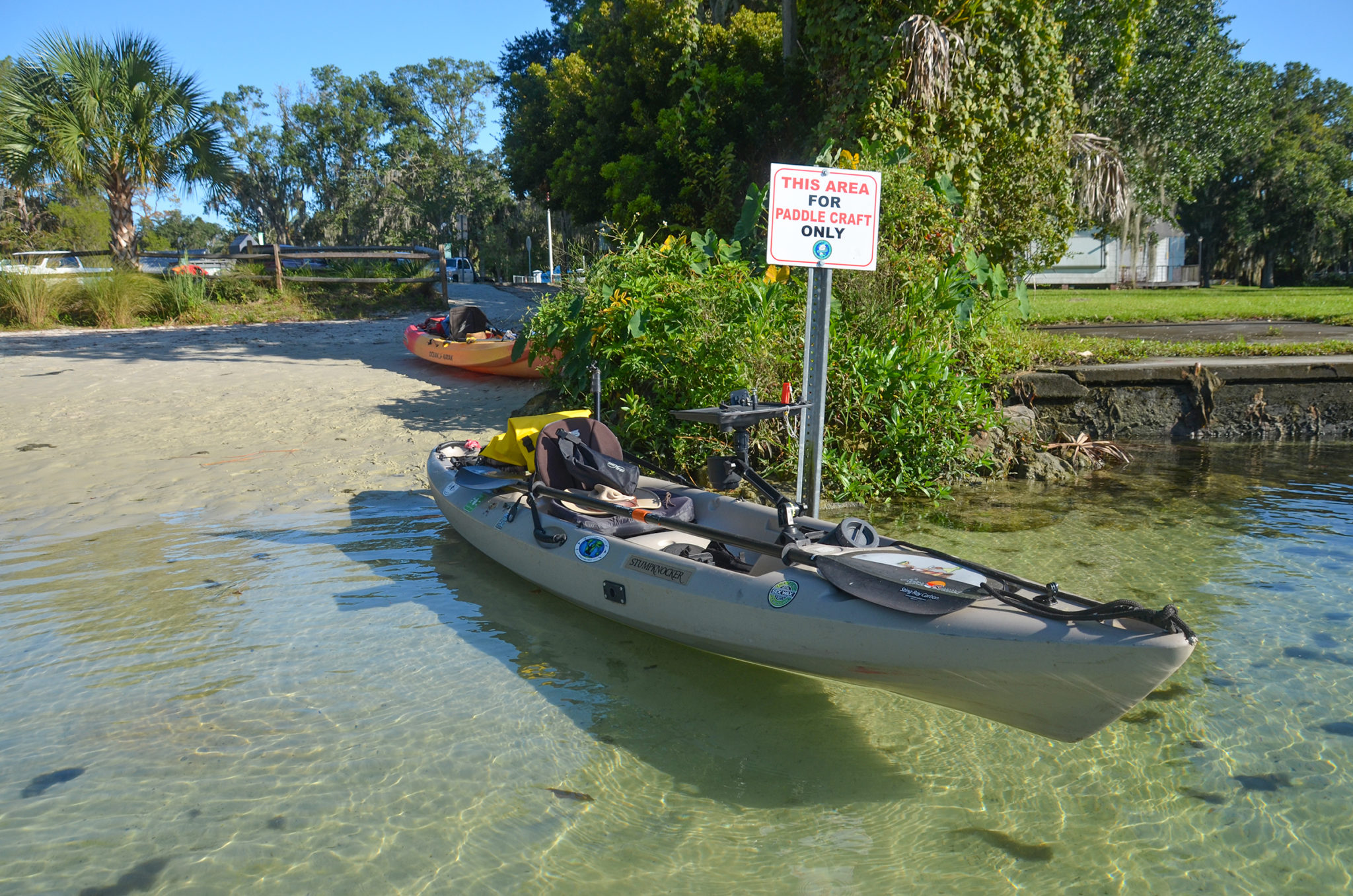
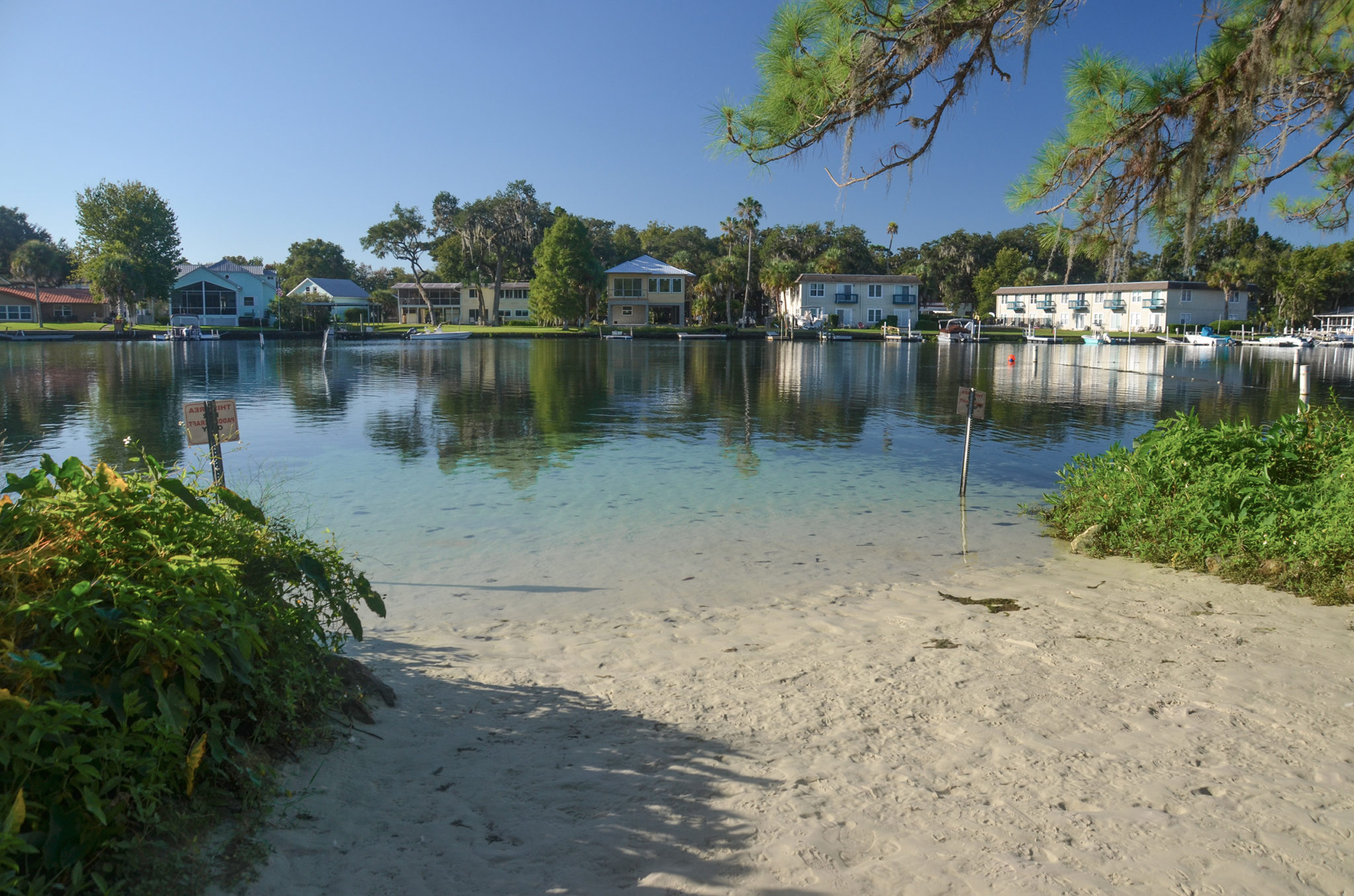
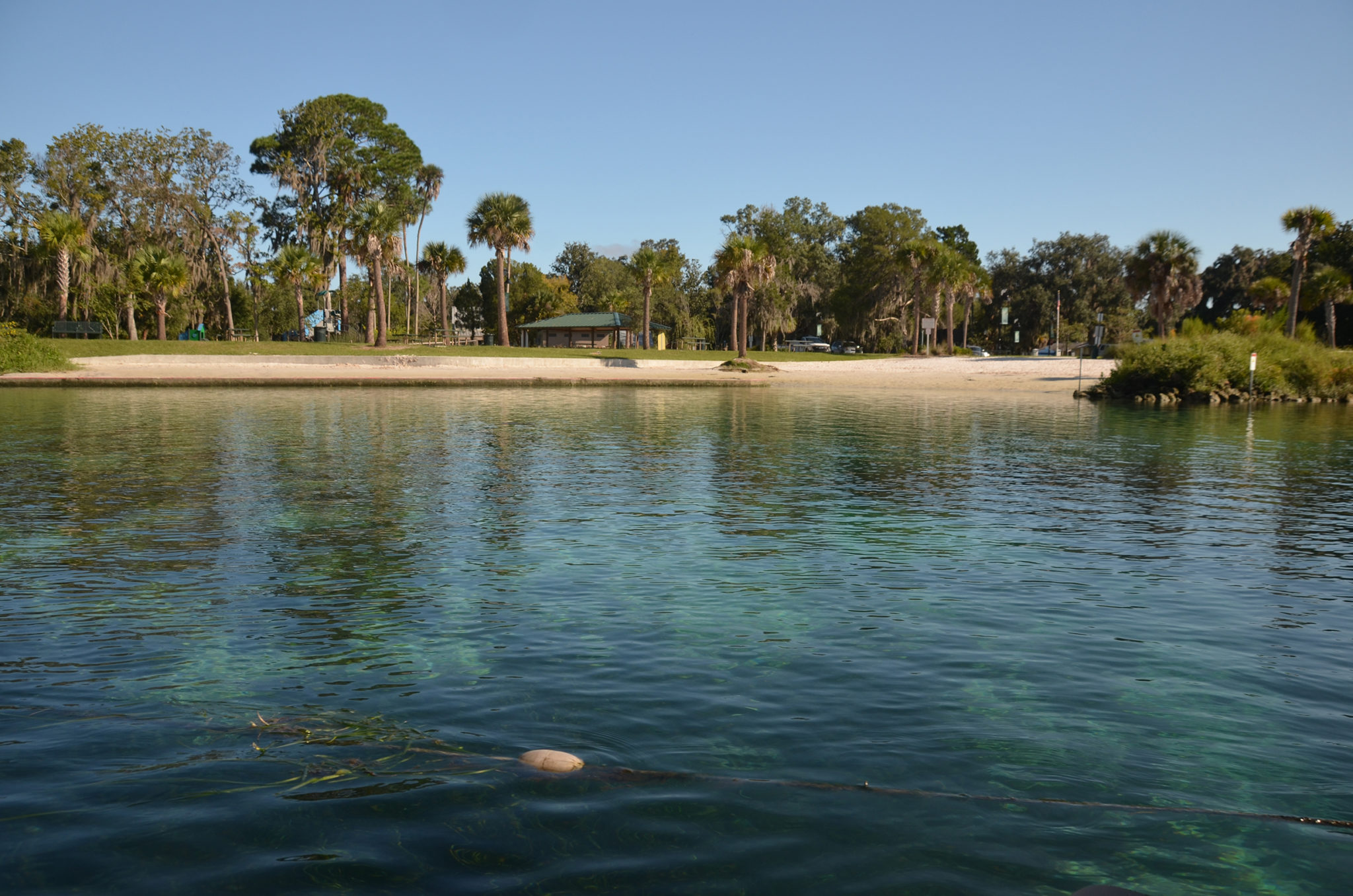
Hunter Springs Park has been totally remodeled and is a great place to launch. The launch has a nice staging area and it is smooth sand to the water’s edge, with plenty of parking. There is a $5.00 fee to park, requiring your License Tag # and a credit card. Restrooms are available.
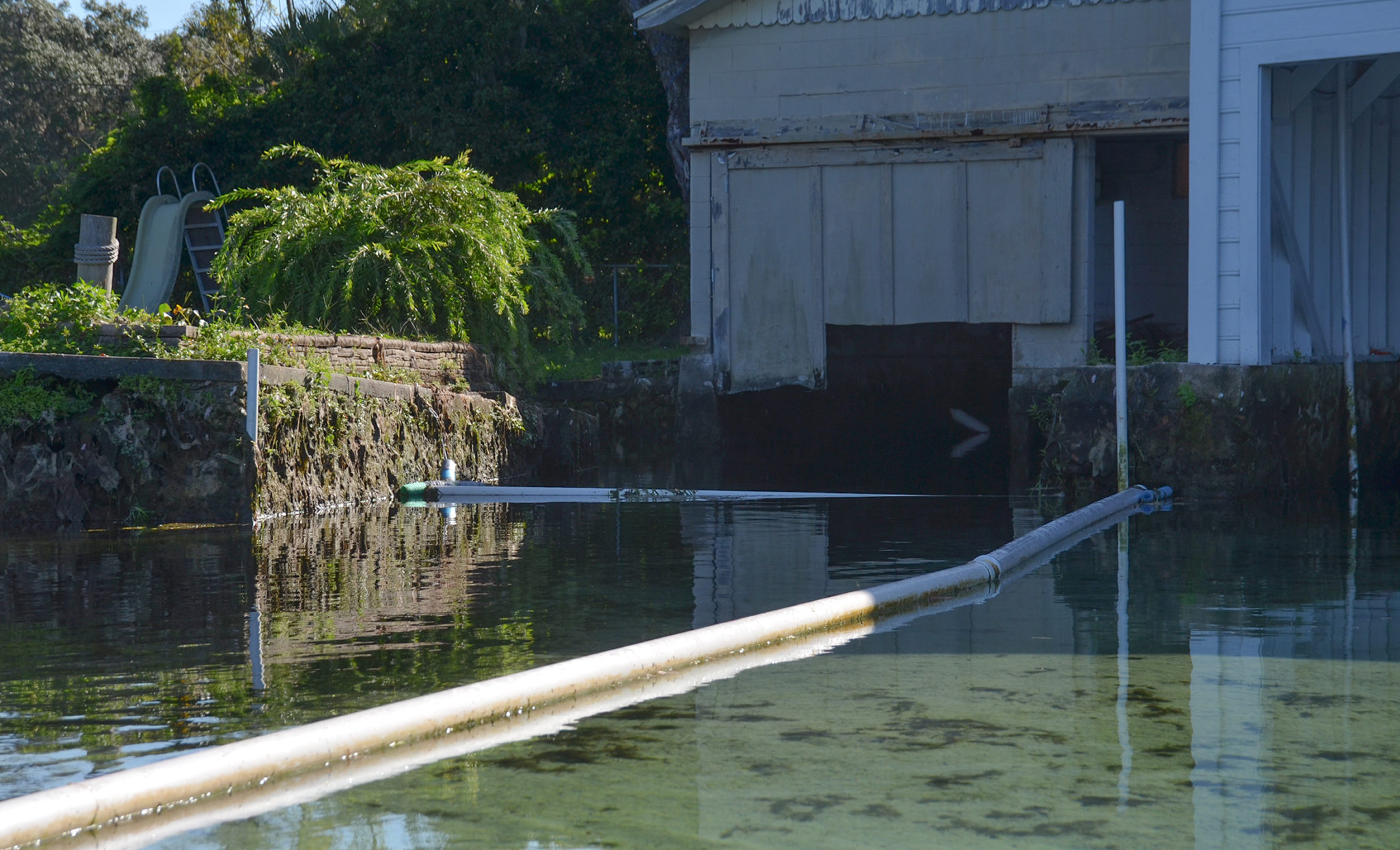
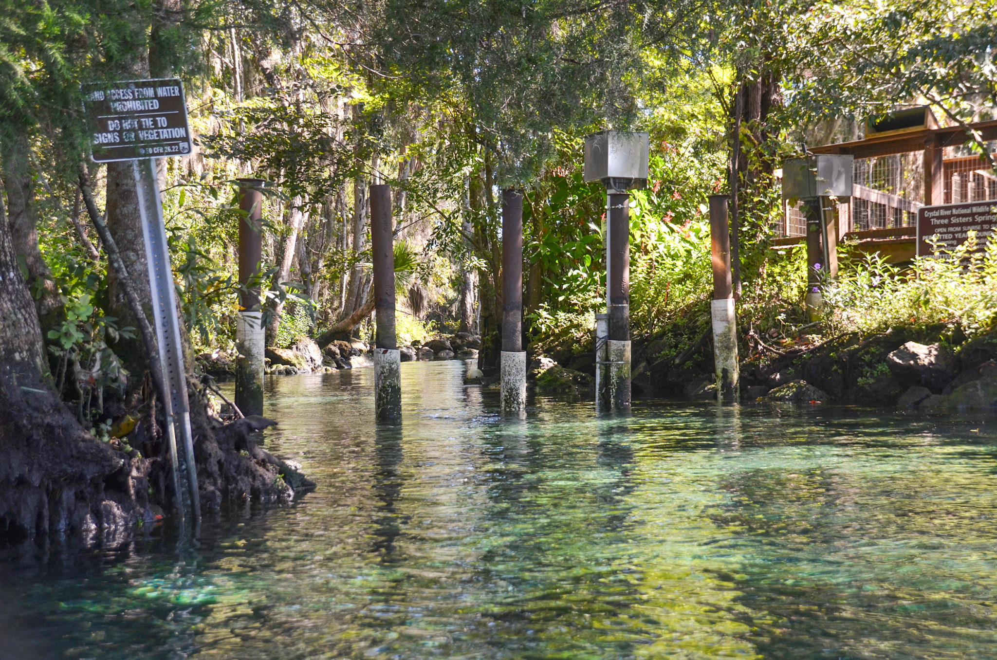
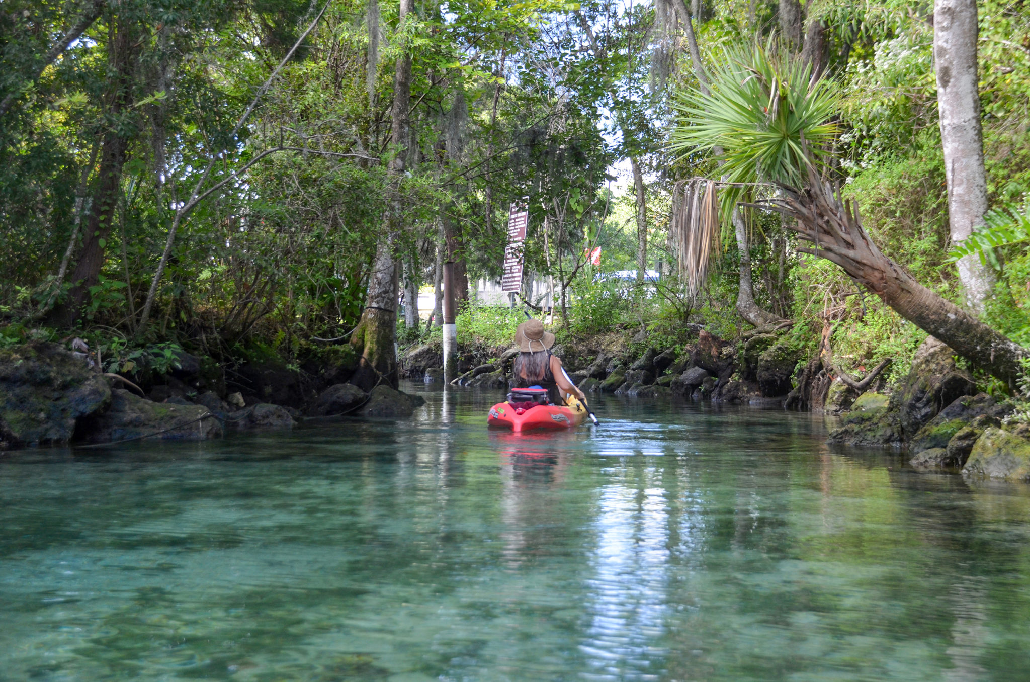
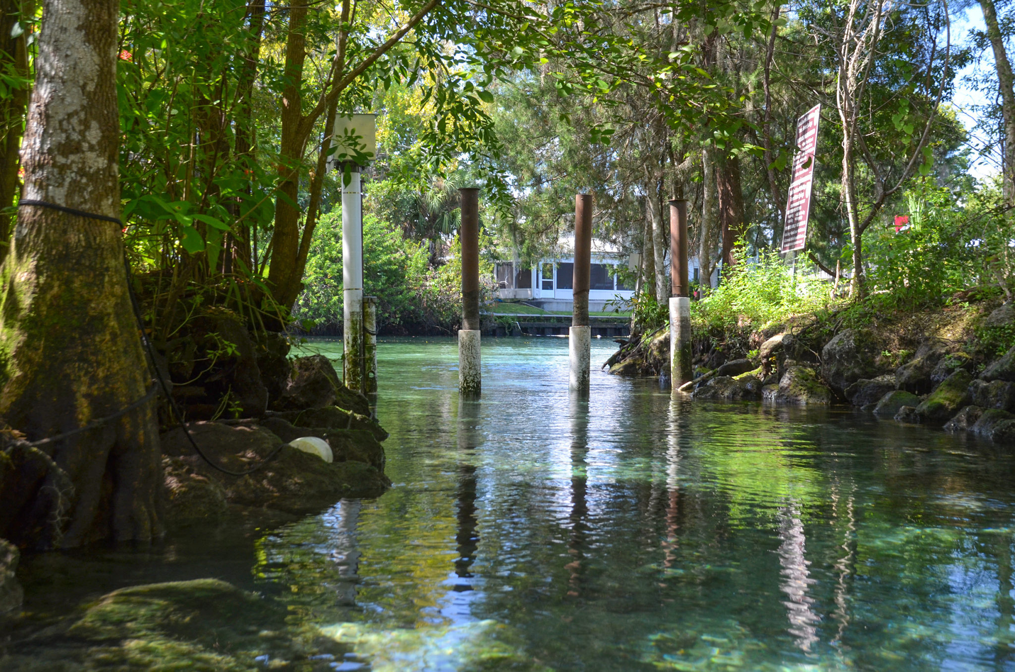
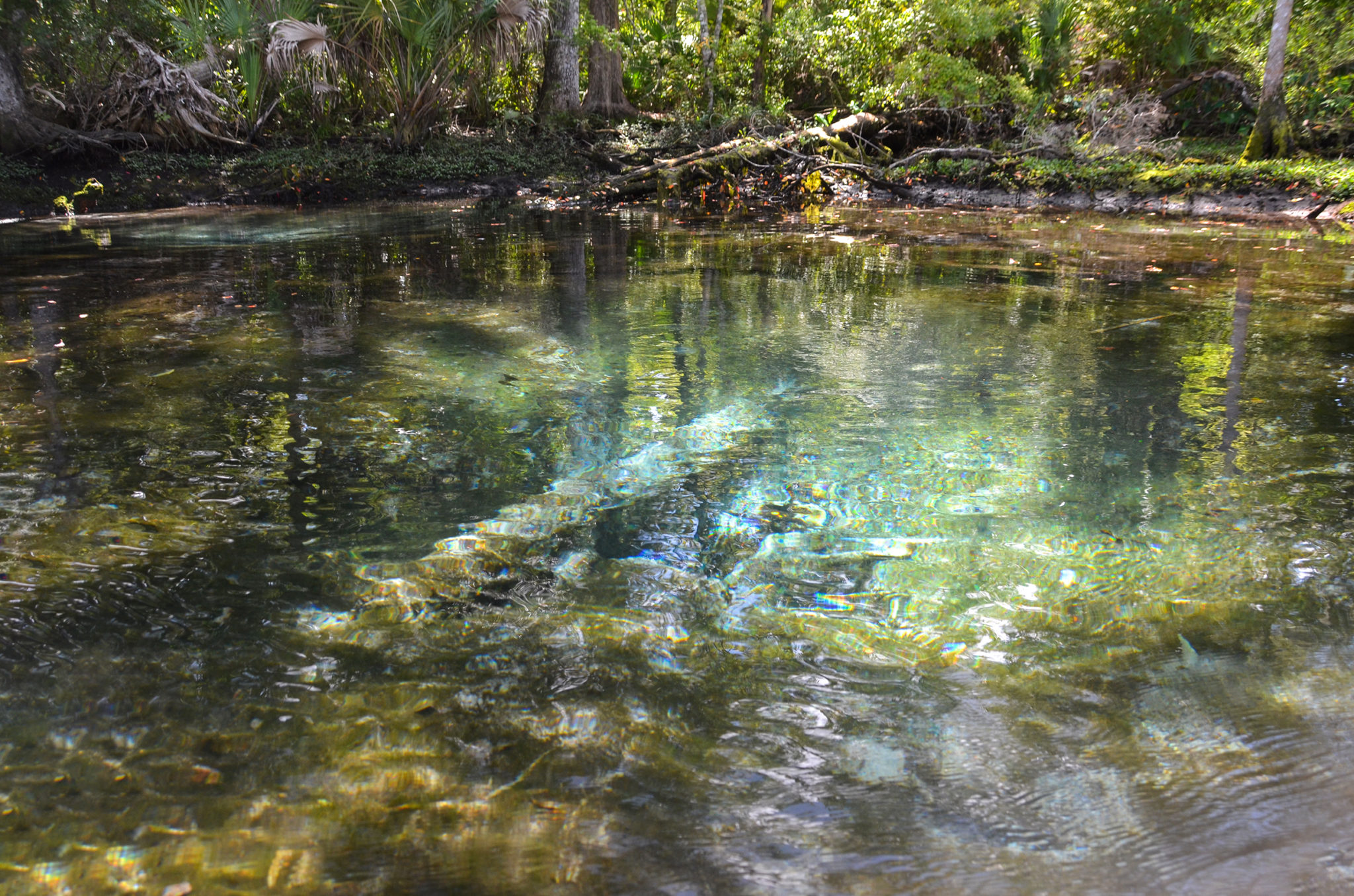
What I like about launching here rather than at the Pete’s Pier Launch is that it saves some paddle time and makes for a good starting point to view Kings Bay. It is also easier and less large boat traffic. From the launch, it is a small distance up the run to view Jurassic Spring, located in a small cove along the east side of Hunter Spring Run, approximately 800 ft east of Hunter Springs. 28°53’42.05″N, 82°35’23.94″W. 360′ further up the run also on the East side is House Spring. This spring is blocked off by PVC to prevent access. 28°53’45.44″N, 82°35’22.84″W. Sadly, Hunter Springs Run is polluted and an abundance of green algae is evident all along the bottom.
Three Sisters Springs
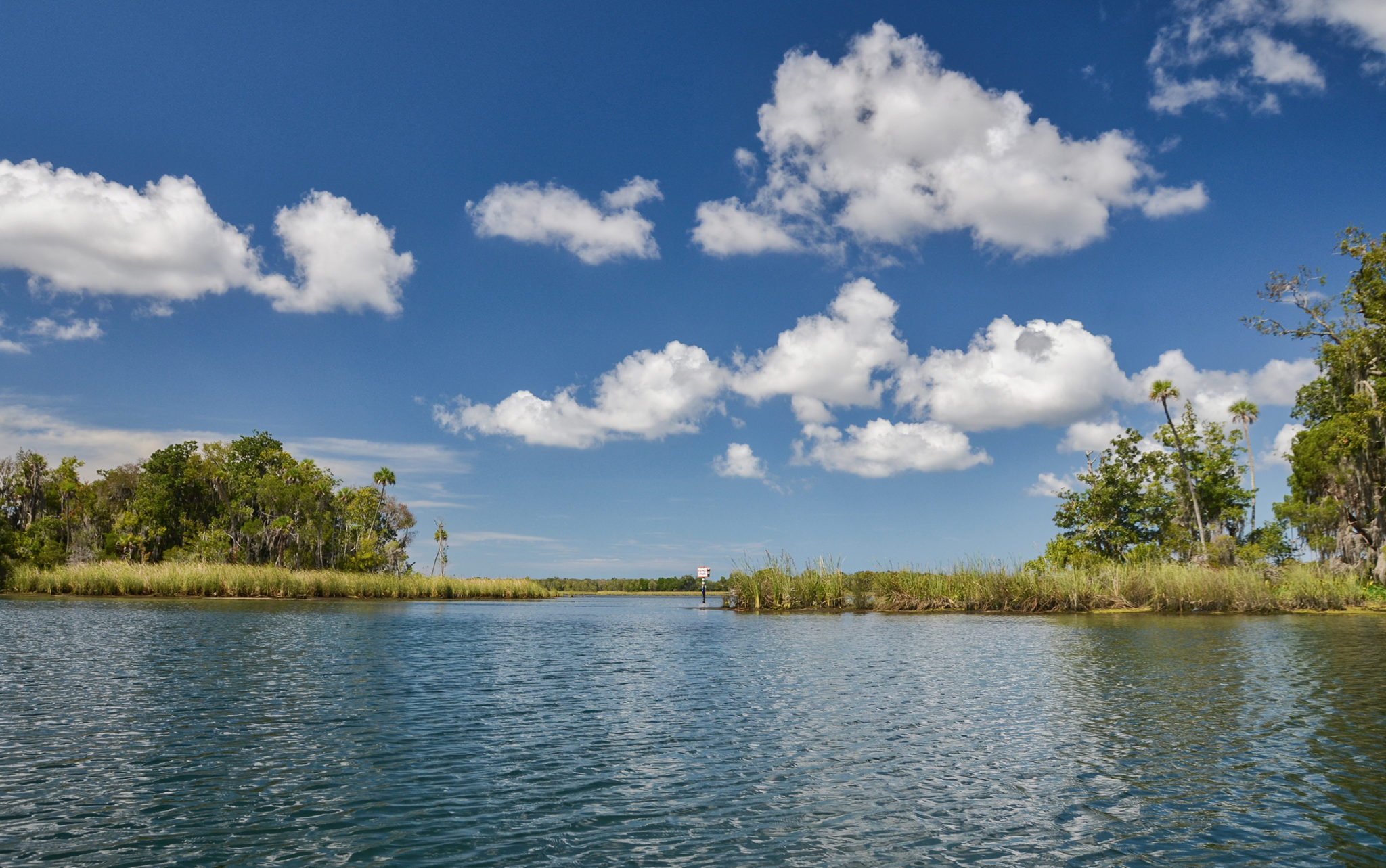
It is just under 2 miles from the launch at Hunter Springs Park to the Three Sisters Springs basin. The paddle will take you around the point at Pete’s Pier, then South and Southwest to the entrance of a series of canals. It is visible by the Kings Bay Drive bridge.
On entering this series of canals, we make a left into the very first canal to visit Paradise Spring. It is located in a small cove past the first house on the left. It isn’t anything to write home about but it is one that we decided to locate on this paddle.
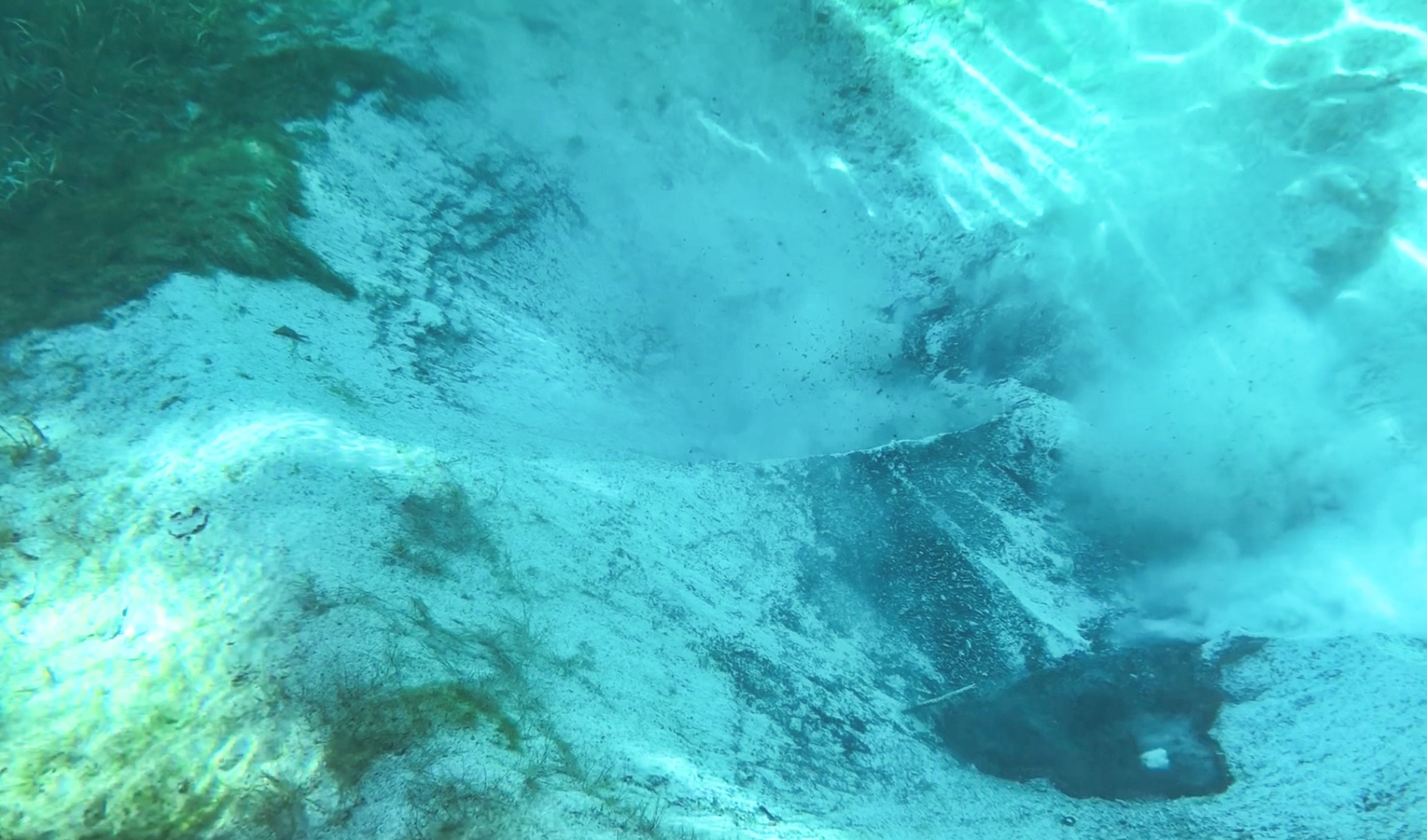
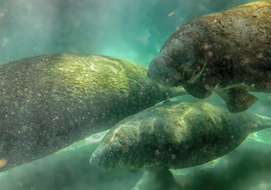
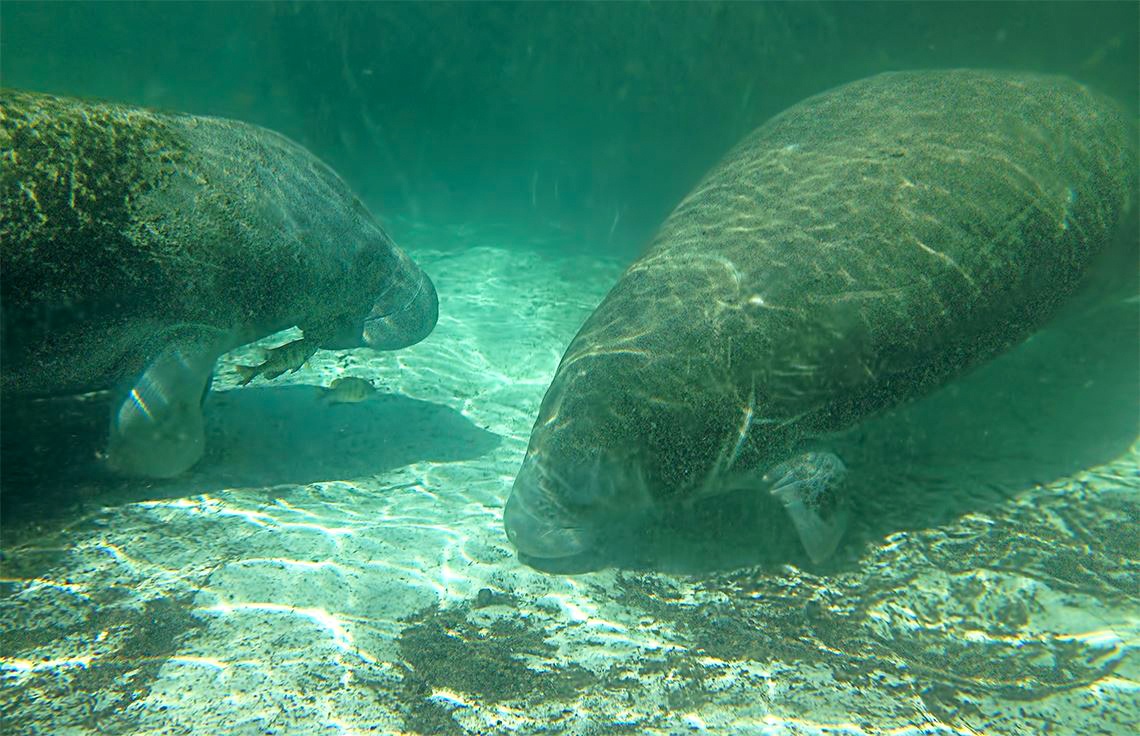
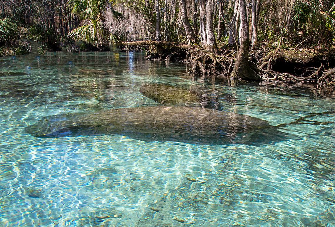
Continuing on to the second canal to our left we locate Manatee Sanctuary Springs/Crystal Spring. During manatee season, we often observe manatees ‘playing’ on the surface in this area. From here we continue ahead on the canal about 1/4 mile to the Three Sisters Spring complex. Here, on the left, are a series of springs and vents that mark the opening to the Three Sisters Springs run and into the spring basin. Kings Bay Spring, Idiots Delight #1, #2, and #3 are located along the canal’s north shoreline around the entrance to The Three Sisters Springs. During Manatee season this area is very crowded with boats, paddlers, and divers! The area is sectioned off as hundreds of manatees take refuge here. Today is was pleasantly not crowded. An unnamed boil ( video )
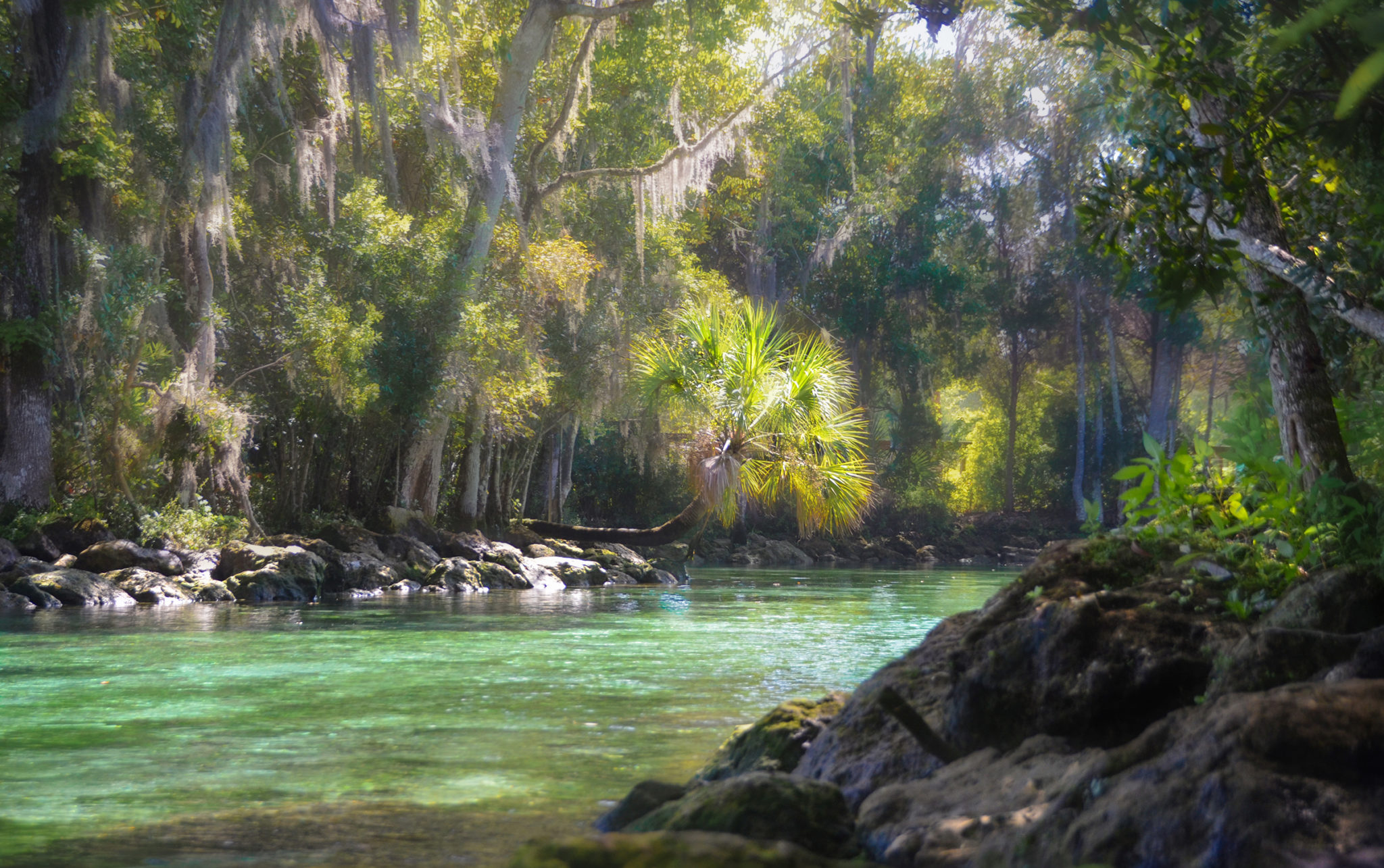
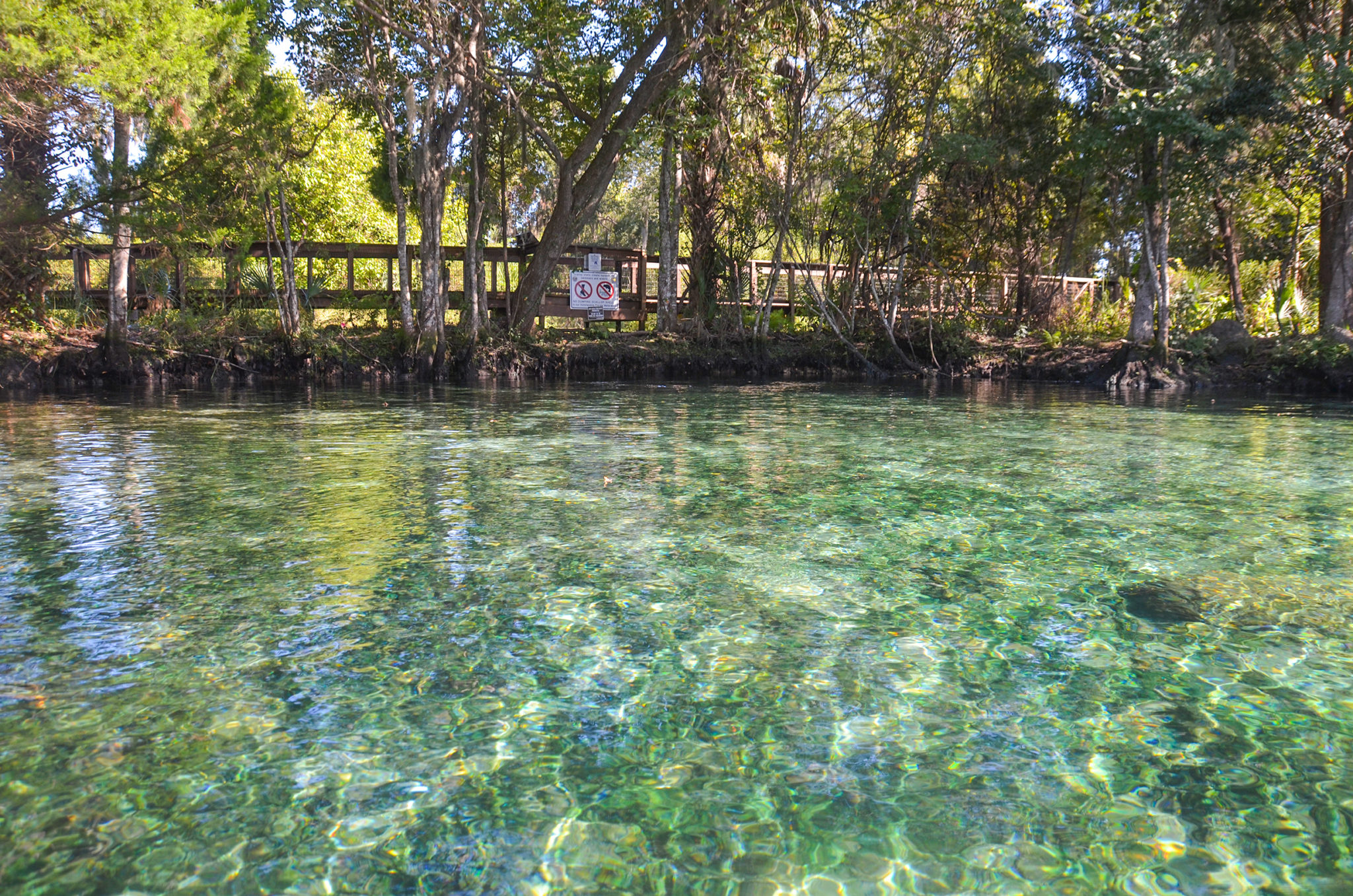
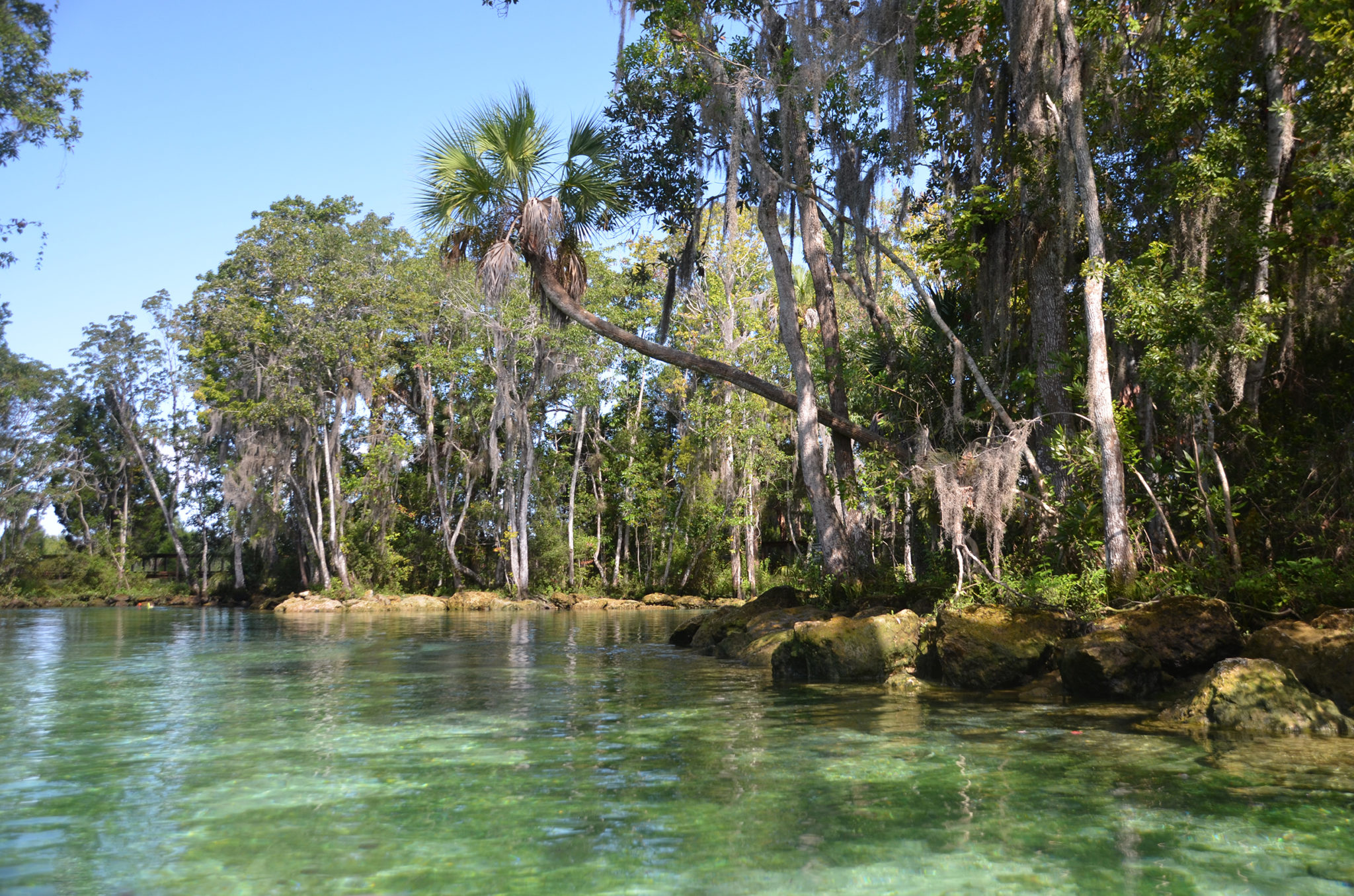
The run is about 150′ long, 15′ – 20′ wide and leads to the beautiful basin that hosts Three Sisters Springs #1, #2, and #3. Swimming is allowed, but tying up to the shoreline is prohibited. We nestled our kayaks in between rocks and exited into the water. This is a beautiful spot to rest and enjoy during the off-season!


Parker Island Spring ( Hidden Spring )

Leaving the canals of Three Sisters Springs, we paddle in a southeasterly direction along the eastern shoreline, a little over a half mile to Parker Island. It is low tide and here, it is about 6″ deep. The pass between Parker Island to our right and the subdivision to our left is about 100′ wide. On the left side, the eelgrass is quite thick. Staying to our right, there is a wildlife marker on the shore very close to the run to Parker Spring.
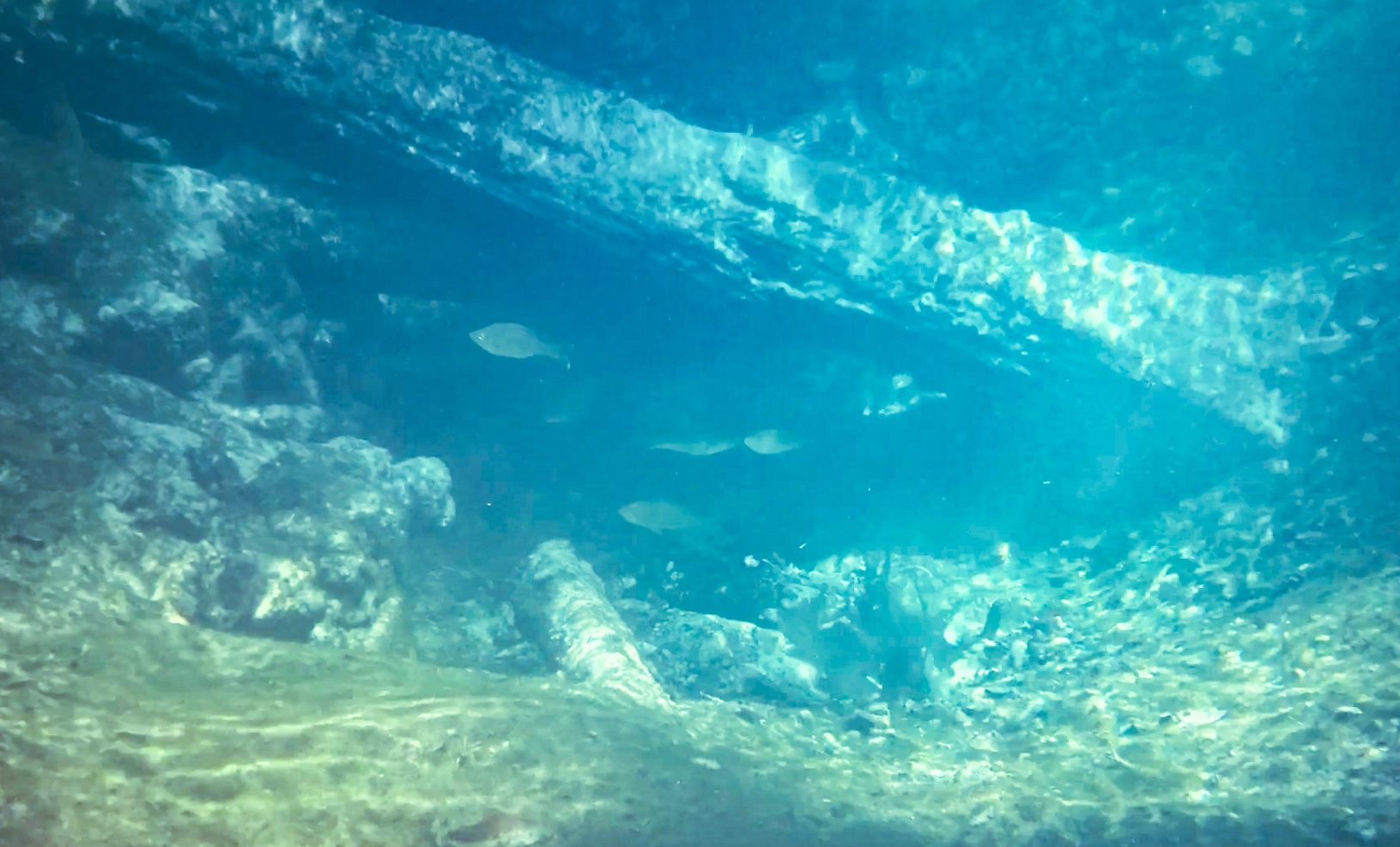
Because this is a designated National Wildlife Refuge entry by land is prohibited. At high tide Parker Spring sometimes referred to as Hidden Spring, is accessible by small boat. At low tide, as was the case today, the run was about 4″ deep and we were just able to paddle the 60′ run into the spring.
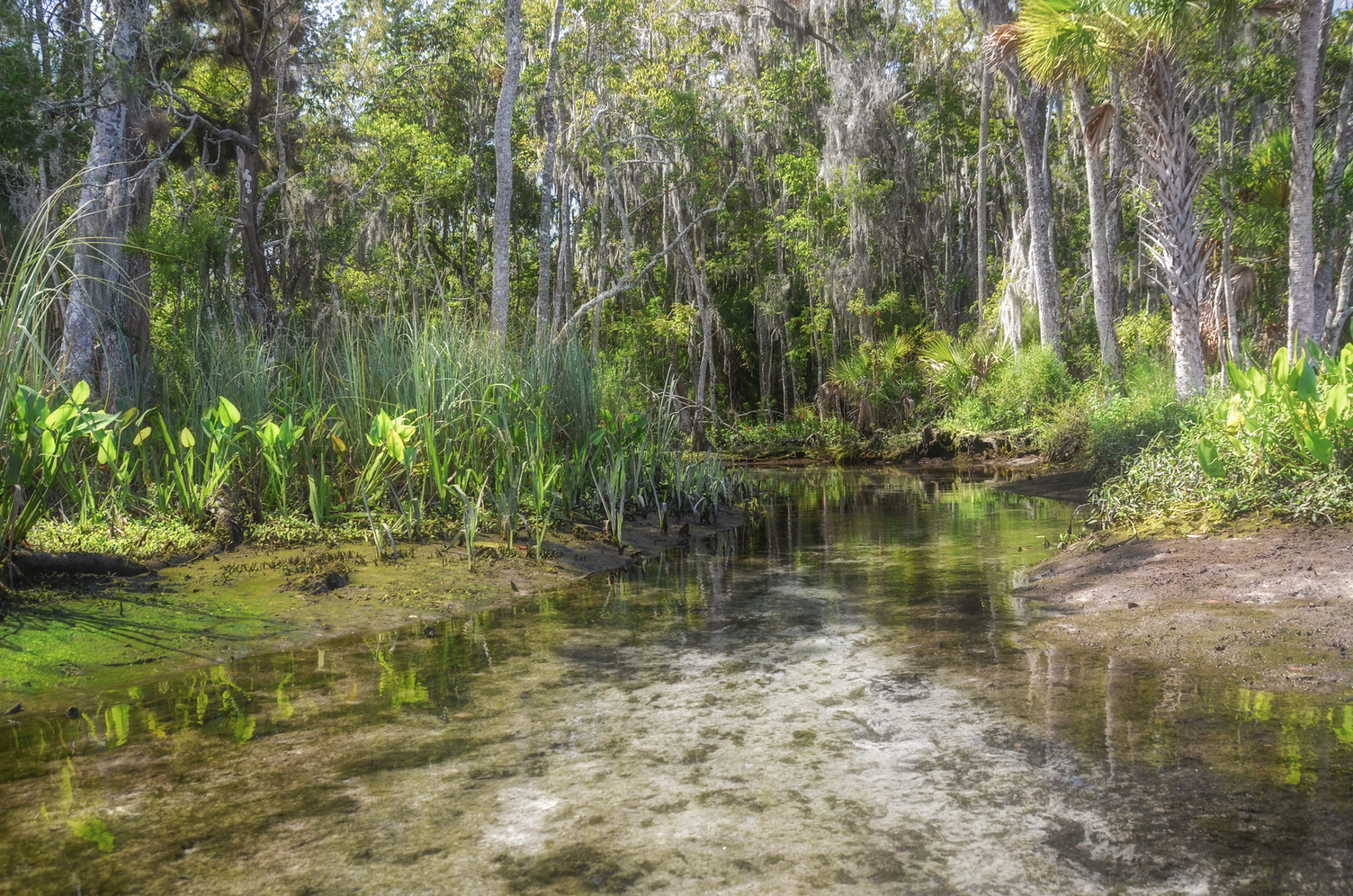
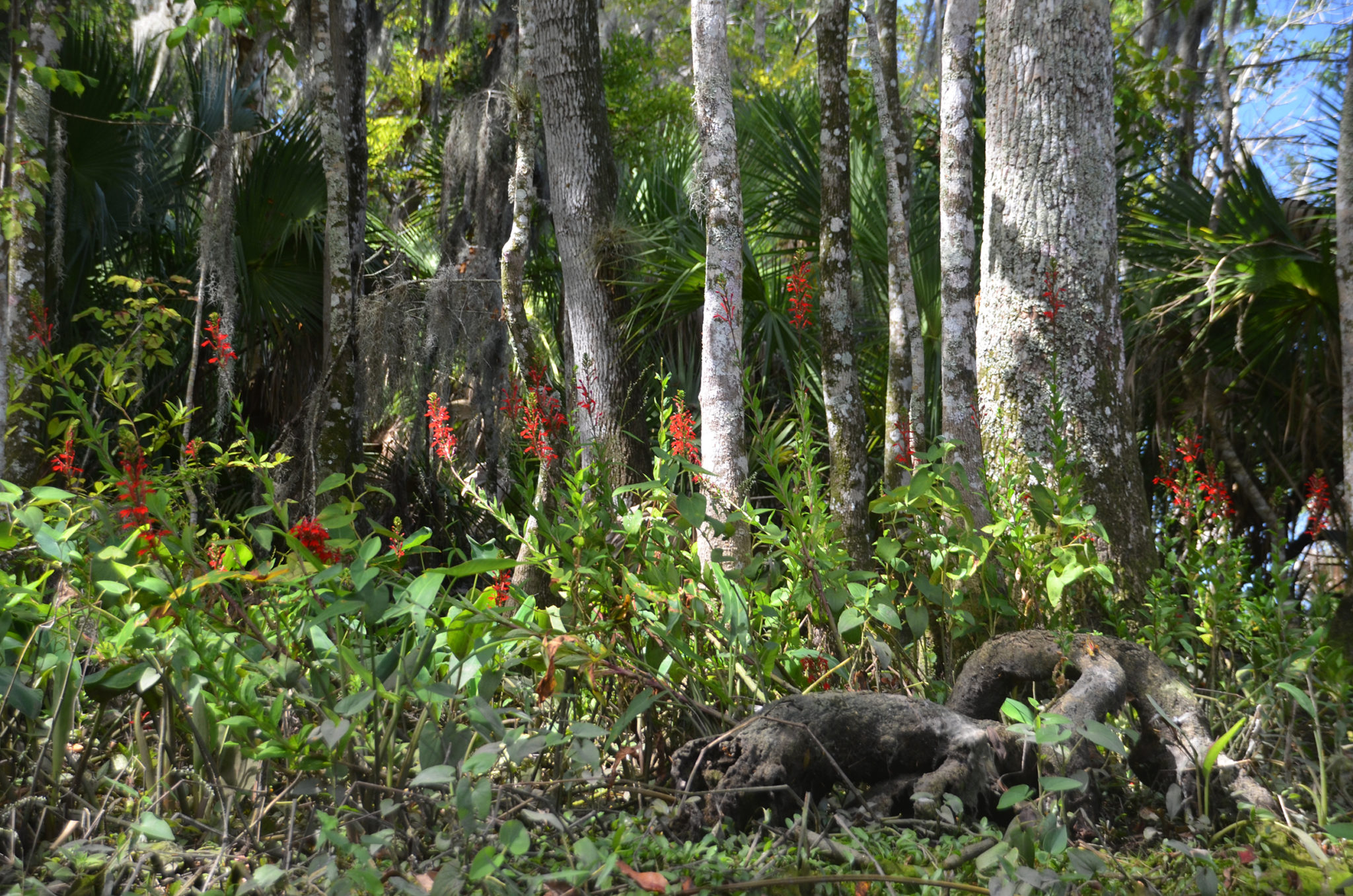
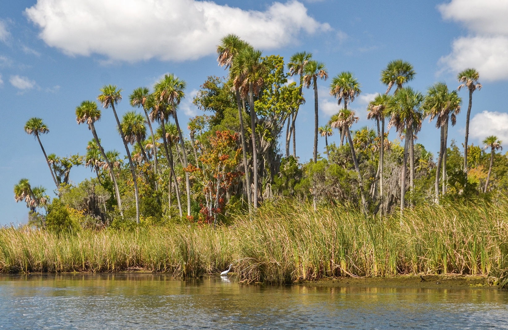
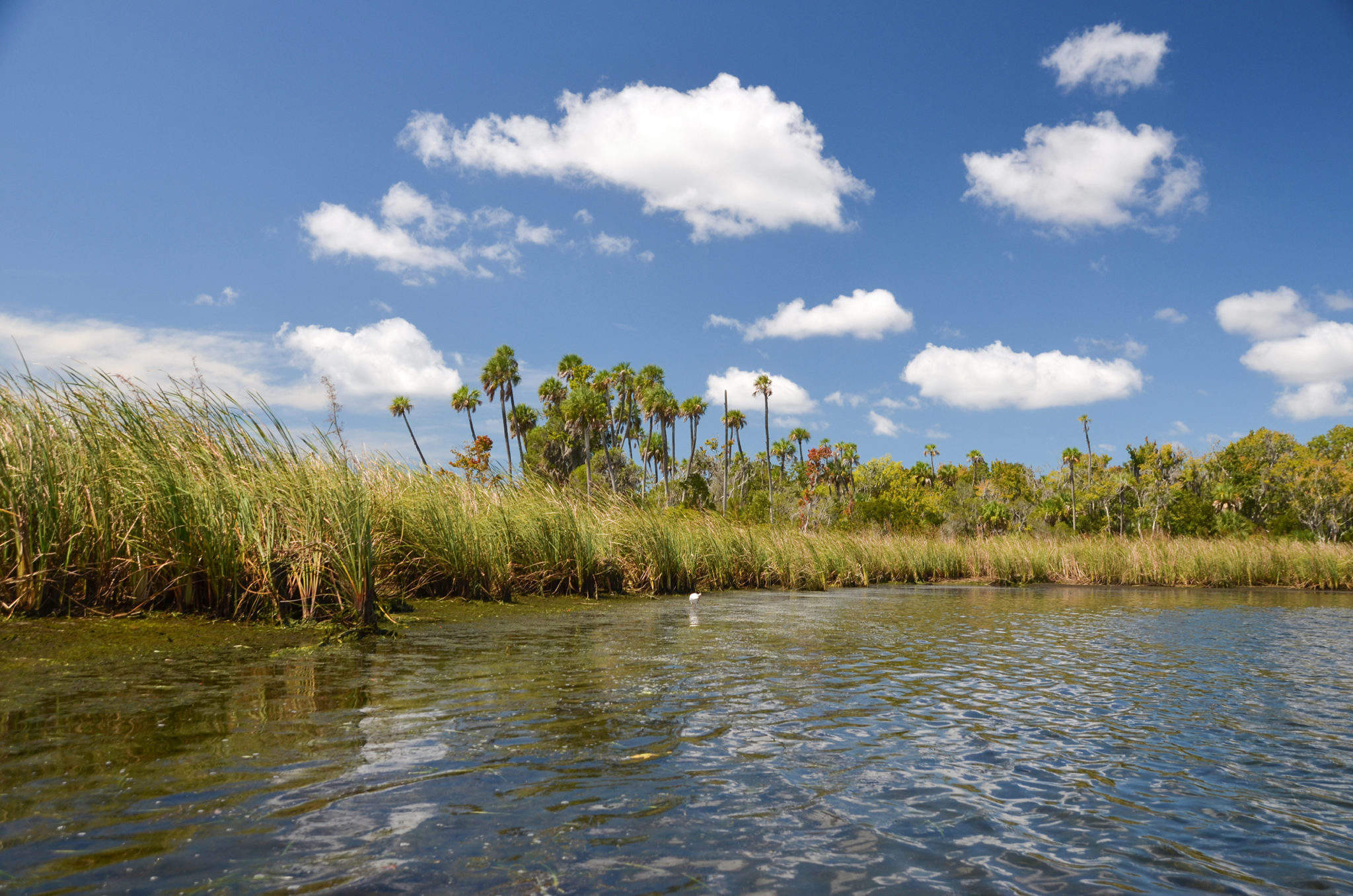
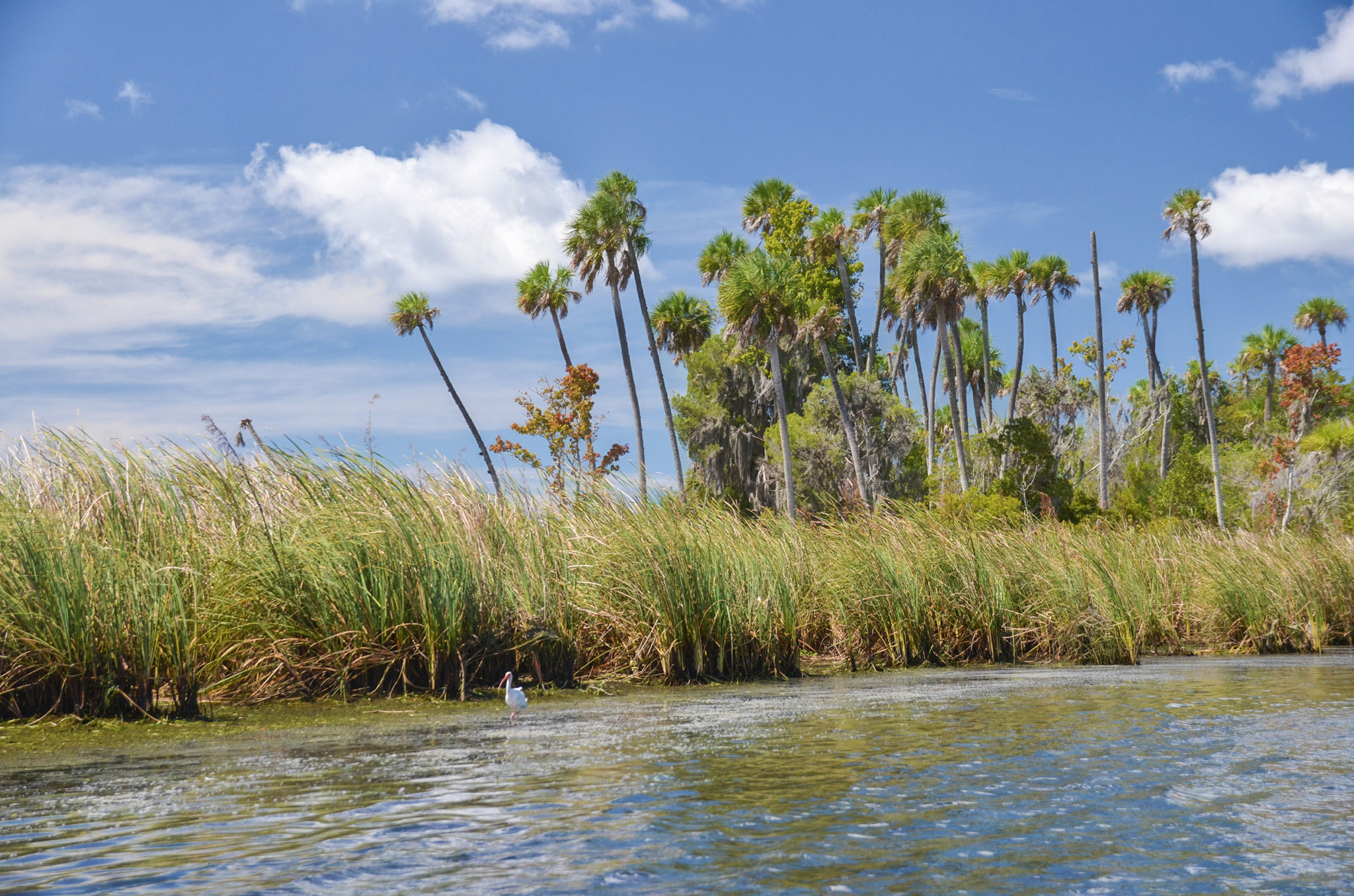
The spring is an oval pool roughly 40′ in diameter and 3′ deep. The water was a bit murky but two vents were clearly visible, both with small fish. The spring is surrounded by thick vegetation including palms, hardwoods, and numerous Cardinal Flower in full bloom. The hardwoods create a dense canopy above the spring pool.
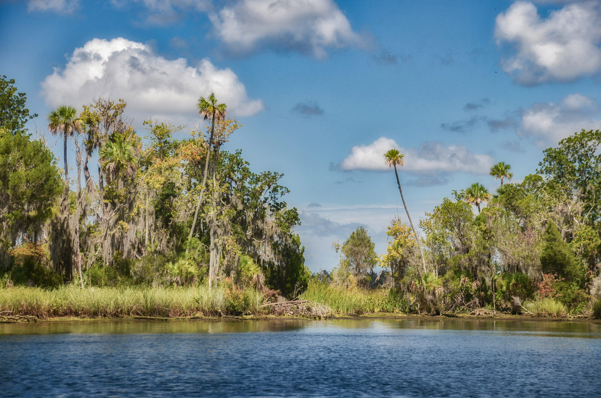
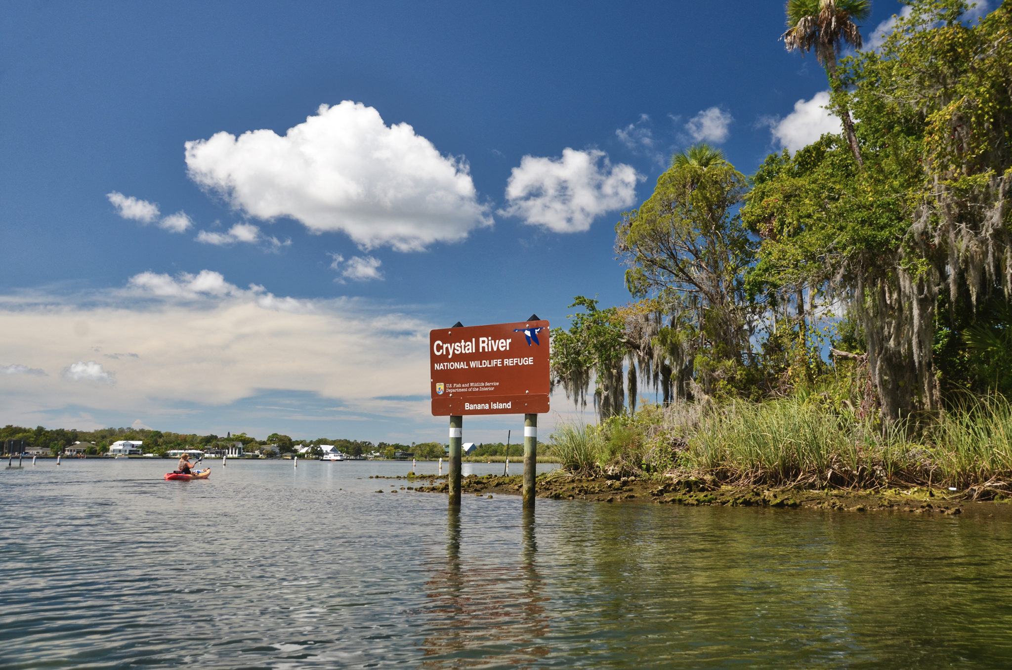
Banana Island, Buzzard Island
Continuing South from Parker Island is Banana Island. This island is crescent-shaped with a cove on the south side. There are numerous small springs around this island that include Tarpon Hole #1 #2, King Spring, and several spring complexes referred to as Banana Island Spring Complex North, East, and West. At low tide, we were able to locate their positions, especially the West Complex.
Due to the numerous springs around Banana Island, it is a popular place for manatees. Large areas are sectioned off to protect them during manatee season.
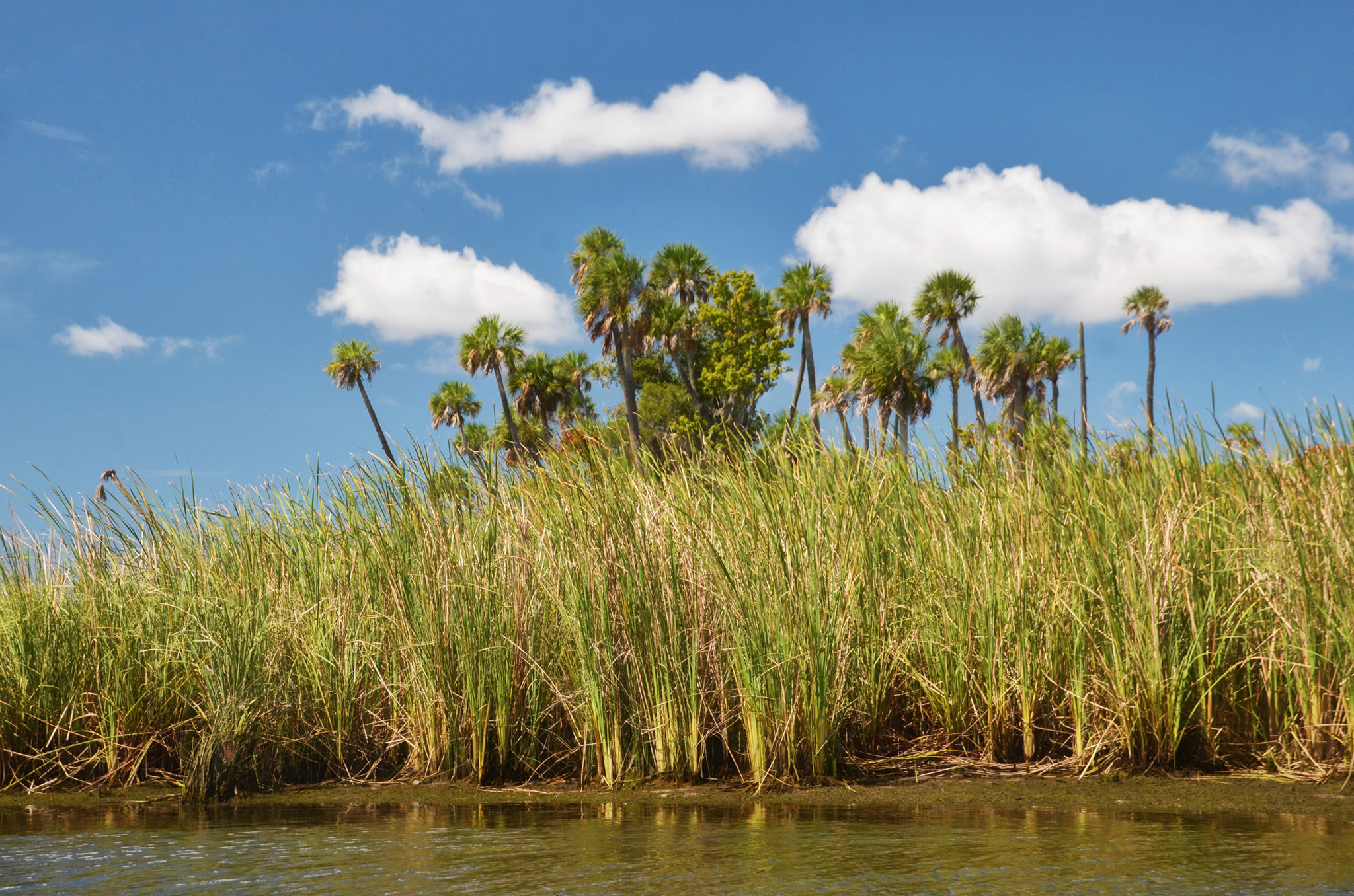
As we headed back North, Buzzard Island is to our left ( West ). As with most of the islands, it has beautiful palms and is surrounded by Sawgrass. This main channel is where numerous boats are anchored in the deeper water. We paddle back around Pete’s Pier and reach are original launch at Hunter Springs Park. It was a beautiful day and well worth going during the ‘off-season’ for manatees. We were able to enjoy the views and springs with minimal crowds and boats!
Kings Bay, Crystal River and Three Sisters Springs are famous for being one of the largest sanctuaries for manatees in the United States. Manatee season’ at the Crystal River National Wildlife Refuge, begins in mid-November and continues to late March. During this time the waterways and springs are very crowded with paddlers, scuba divers, snorkelers, and boaters. It is often hard to observe these gentle creatures due to the crowds. We made this paddle in mid-September in order to enjoy and photograph Kings Bay and Three Sisters Springs without the large crowds.
Guides, Maps & Info…
Outfitters…
Crystal River Paddle Blogs…