Cumberland Island Overview

Cumberland Island is a 17.5 mile barrier island off Georgia’s southeast coast, the largest of the Sea Islands of the southeastern United States. It has large salt marshes, dense maritime forests and open beaches.
The island has a long history dating back 4,000 years and the Native American Mocama inhabitants belonging to the Timucua tribe. After the Revolutionary War, Nathanael Greene founded most of the southern island. Ten years after his death in 1786, his wife Catherine, married Phineas Miller and together they built a four story tabby mansion and named it Dungeness, surrounded by 12 acres of gardens. The Millers planted Sea Island cotton and helped Eli Whitney develop the Cotton Gin.
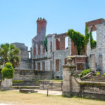
In 1866 Dungeness burned down as was not rebuilt until 1884 by Thomas Carnegie. The mansion was designed as a 59-room Scottish castle. On the 12 acres there were pools, a golf course and 40 smaller housing structures for the 200 servants. By the time of the great depression, Dungeness was vacant and in 1959 once again burned, leaving the current ruins.
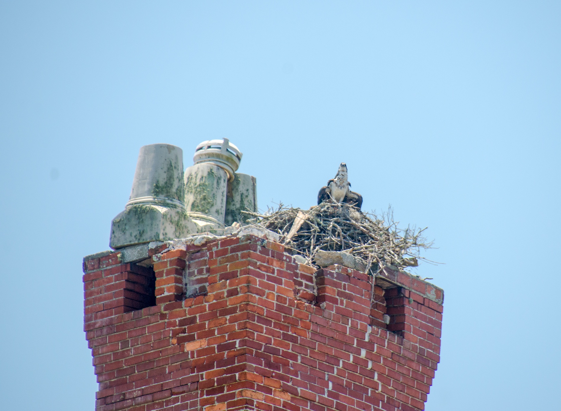
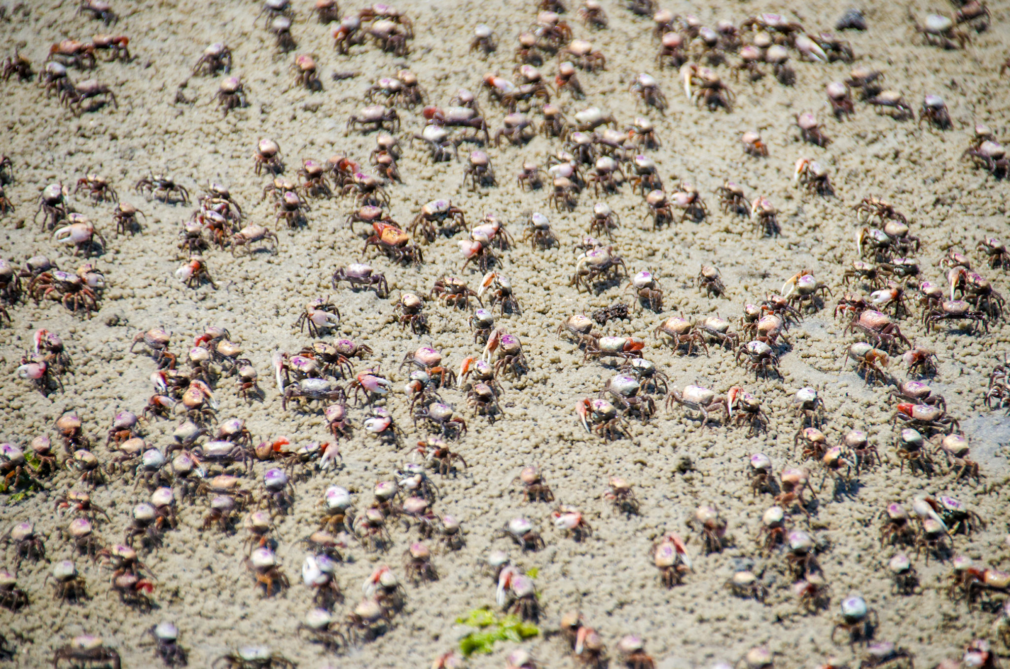
Cumberland Island is a a National Park and a National Seashore. It host an assortment of wildlife among the most popular are the numerous fiddler crabs and the famous feral horses that roam the island.

Cumberland Island South Details
![]() Location: Cumberland Island is located in Camden County, along the eastern Georgia coast.
Location: Cumberland Island is located in Camden County, along the eastern Georgia coast.
![]() Launch and Take Out Point: The launch is located at Dee Dee Bartels Public Boat Ramp, 97177 Pogy Place, Fernandina Beach, FL 32034
Launch and Take Out Point: The launch is located at Dee Dee Bartels Public Boat Ramp, 97177 Pogy Place, Fernandina Beach, FL 32034
![]() Paddle Distance: From the launch in Fernandina Beach to our destination beach at the trail to the Dungeness ruins it was just under 5 miles. The round trip paddle was 8.75 miles
Paddle Distance: From the launch in Fernandina Beach to our destination beach at the trail to the Dungeness ruins it was just under 5 miles. The round trip paddle was 8.75 miles
![]() Difficulty: Easy to moderate. addling across the St. Marys channel can be tricky due to the wind, chop and boat traffic. Caution is advised. Once across the channel, we had smooth paddling along the western shoreline of the island.
Difficulty: Easy to moderate. addling across the St. Marys channel can be tricky due to the wind, chop and boat traffic. Caution is advised. Once across the channel, we had smooth paddling along the western shoreline of the island.
 Average Paddle Speed: 1.3 mph. This was lower due to paddling against the choppy inlet both coming and going.
![]() Width and Depth: The channel was just under a mile across where we paddled. It was well marked and a very deep channel due to the submarine base located just north of us. Once we reached the island it was very shallow due to low tide.
Width and Depth: The channel was just under a mile across where we paddled. It was well marked and a very deep channel due to the submarine base located just north of us. Once we reached the island it was very shallow due to low tide.
![]() Current – Tidal: There are tides and currents to consider and could be quite strong
Current – Tidal: There are tides and currents to consider and could be quite strong
![]() Side Paddles: There is a side paddle to consider at a higher tide. Along the southwest coast is an entrance to the St Marys River, that winds north all the way to the Dungeness ruins. Due to the low tide while we were there it was not passable.
Side Paddles: There is a side paddle to consider at a higher tide. Along the southwest coast is an entrance to the St Marys River, that winds north all the way to the Dungeness ruins. Due to the low tide while we were there it was not passable.
![]() Rest Areas: Restrooms available at the launch and several natural spots along the way.
Rest Areas: Restrooms available at the launch and several natural spots along the way.
![]() Important Information: Consider the tides, the winds and boat traffic when crossing the channel.
Important Information: Consider the tides, the winds and boat traffic when crossing the channel.
Cumberland Island Paddle Map

Across the Channel
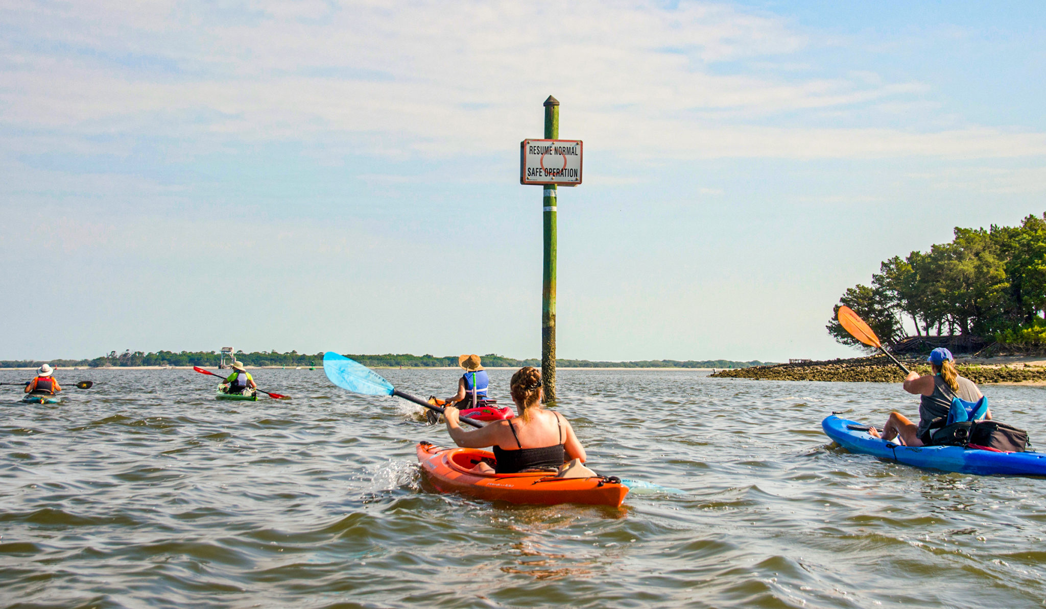
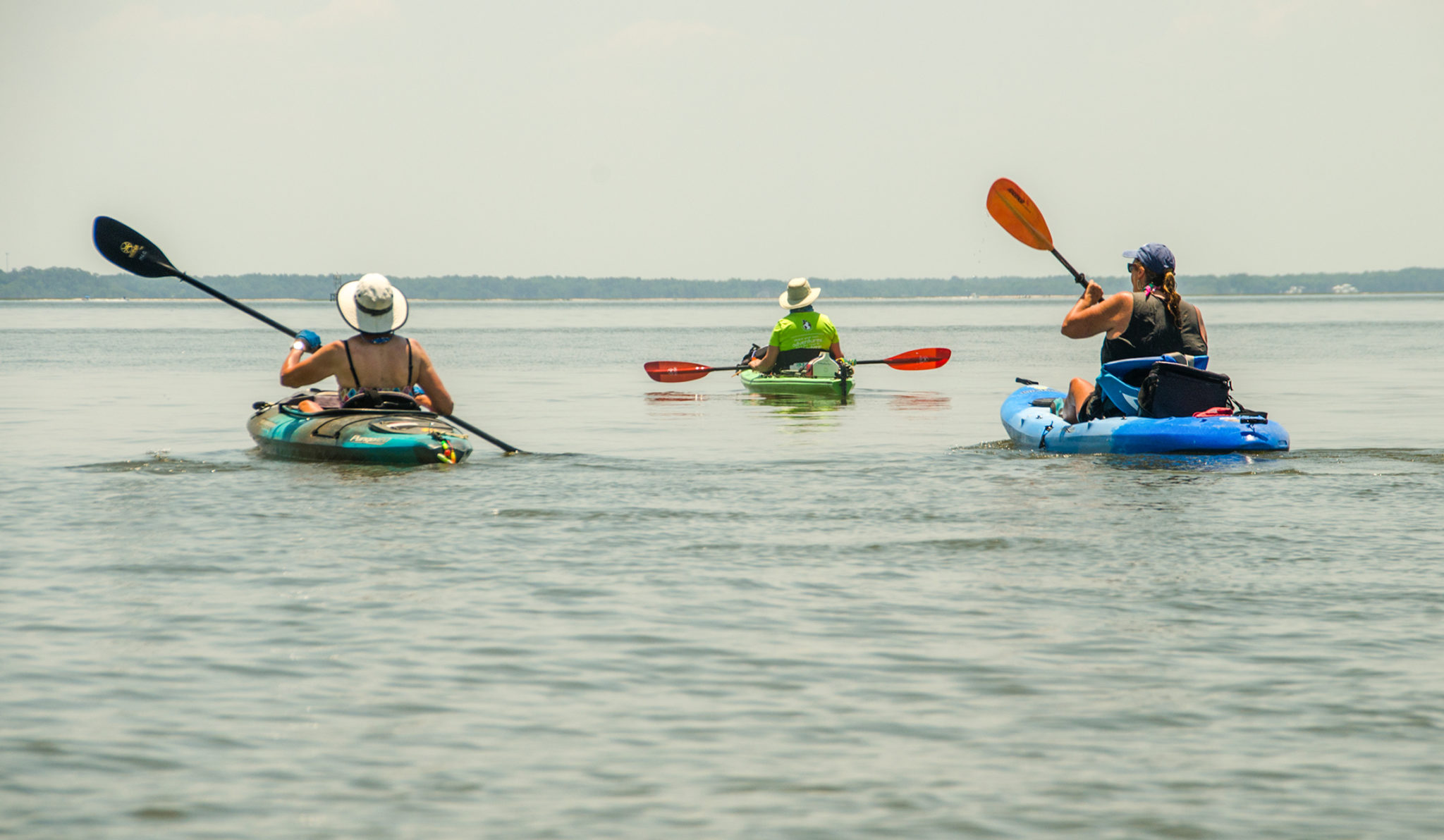
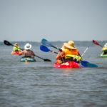
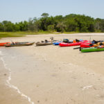
It was a busy, hot, Memorial Day weekend and FPN along with the Boll Green Aquaholics decided to cross ‘the line’. Dee Dee Bartels Public Boat Ramp was quite busy and parking was becoming a premium but we had no problems. It is a nice facility to launch however their restrooms were a bit ‘used’ this particular morning. Our kayaks were lined up on the ramp and launched all at once onto the Amelia River. Paddling close to the shoreline, our route was planned to cross the St Marys channel and reach Cumberland Island at the shortest distance. This turned out to be over 3/4 mile and 1.38 miles from the launch.
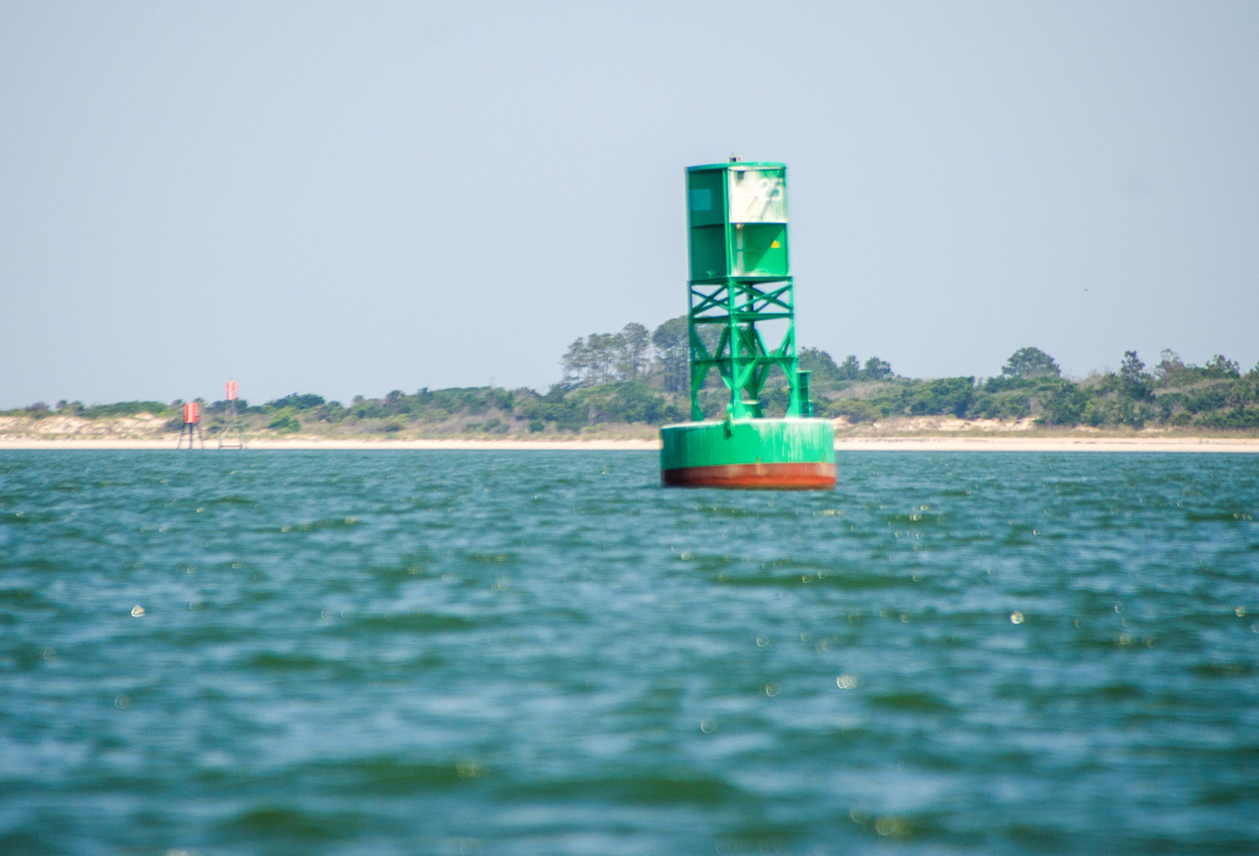
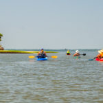
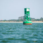
The channel is well marked, there are numerous buoys to help keep on a fairly straight course. This is tricky water opening up to the ocean. There was a slight chop along with a steady breeze and numerous boats to keep an eye out for. We landed at low tide, had a brief rest and proceeded to follow the western shoreline around and up to our destination.
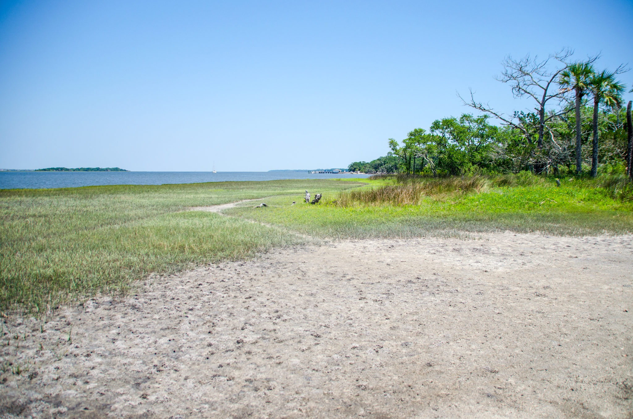
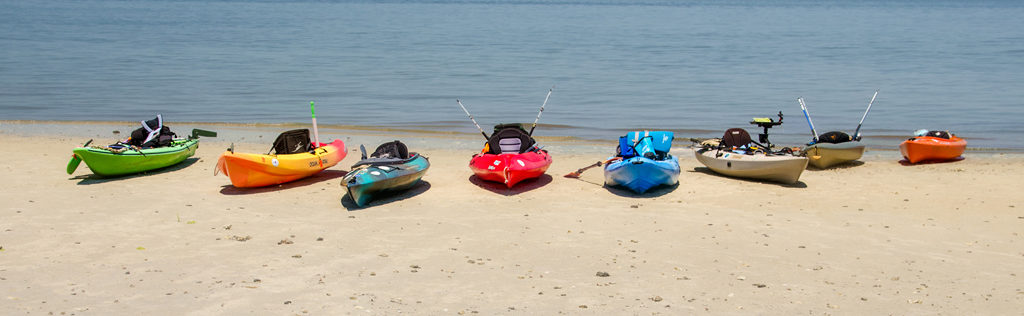
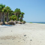
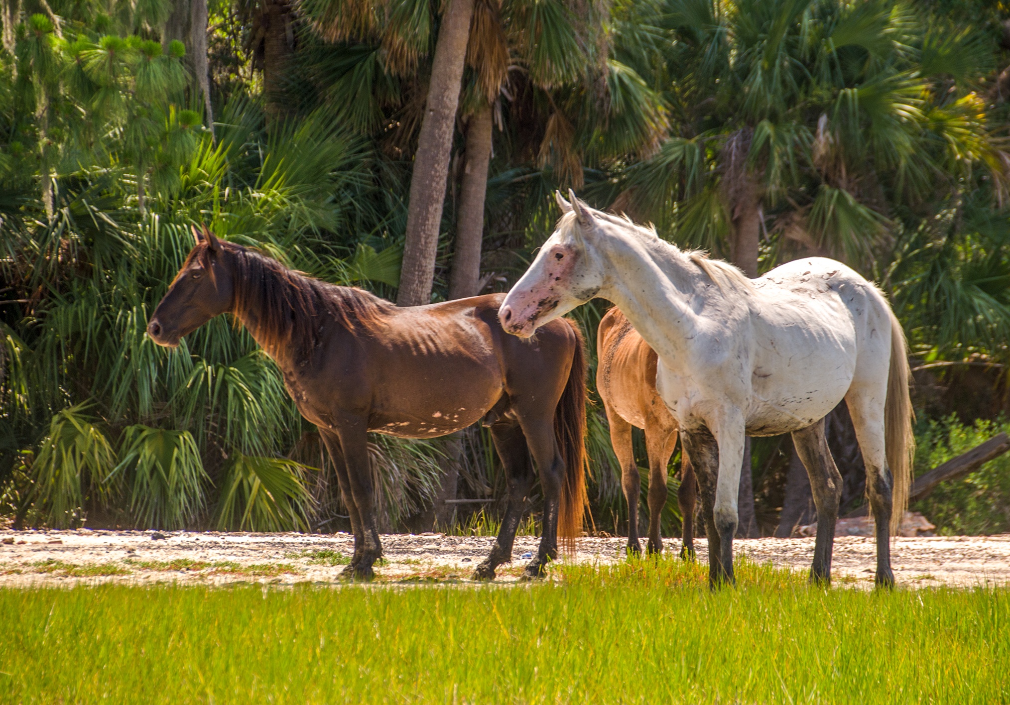
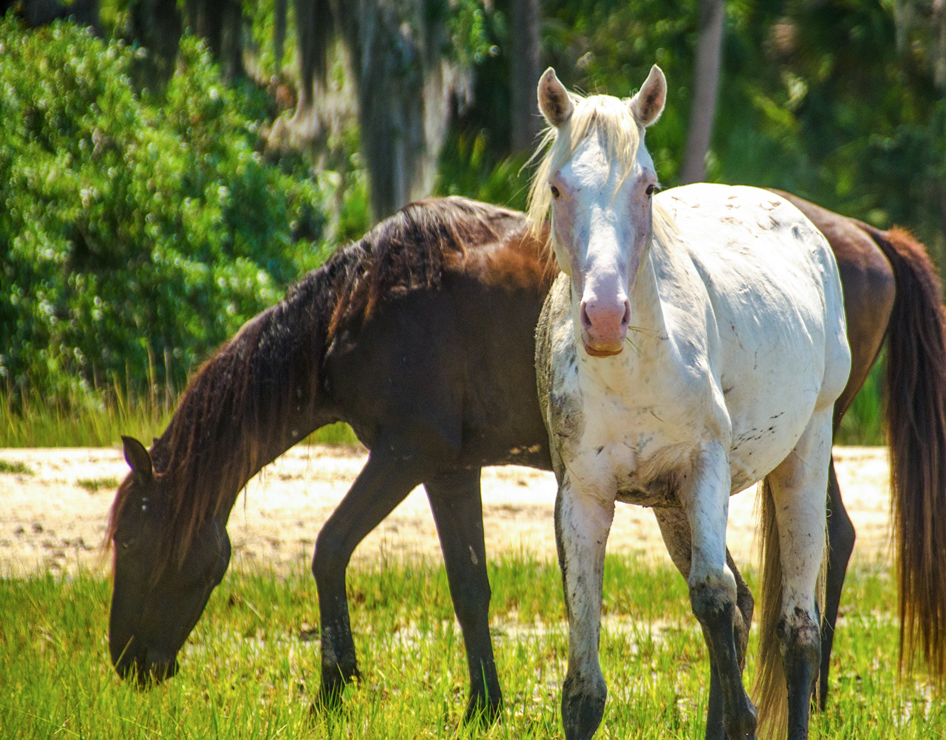
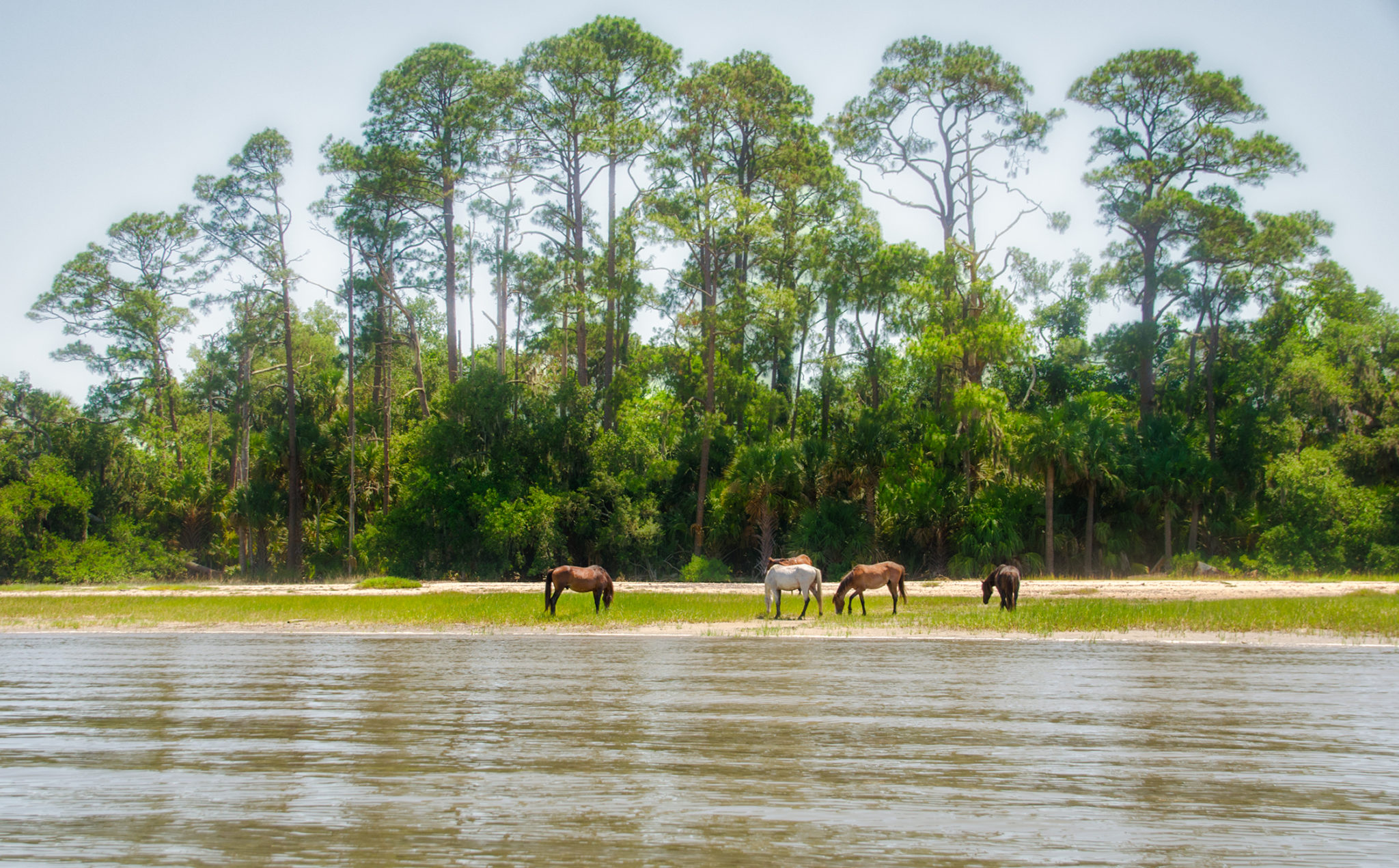
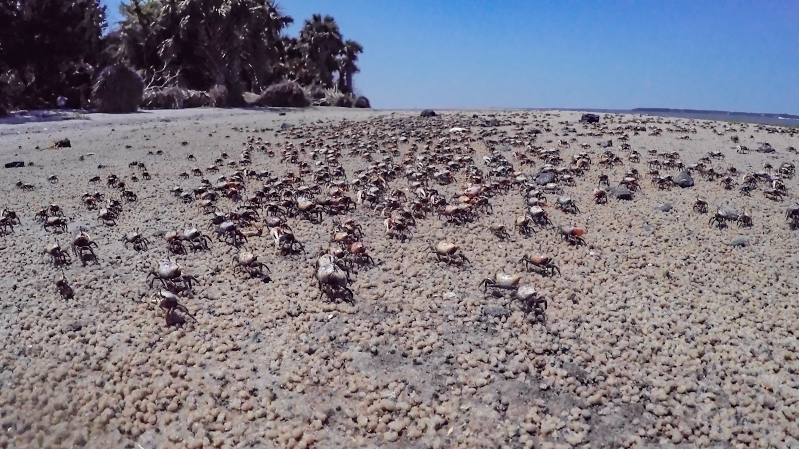
The breeze eased up and the water calmed paddling further up on Fancy Bluff Creek. The Cumberland coastline was a combination of salt marshes, scrub trees and several weathered, dead trees, twisted by the elements. Our destination however had a nice beach as well as a stand of palms that provided welcomed shade, fiddler crabs and yes, 5 or 6 feral horses grazing along the shore. We took advantage of the shade while we ate lunch and prepared to visit the Dungeness Ruins.
South Cumberland Island & Dungeness ruins
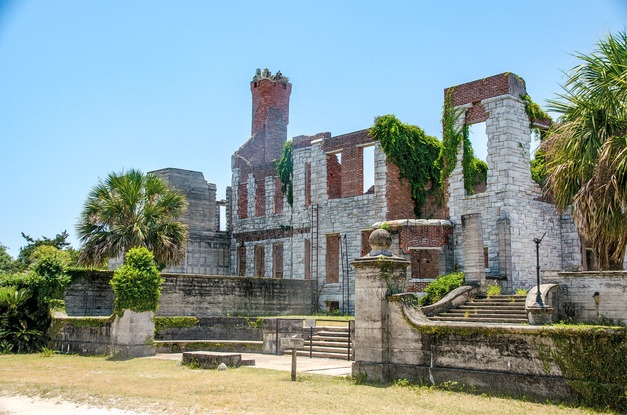
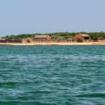
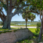
The path to the Dungeness ruins was very visible and just a very short walk from where we landed. A lot of history has taken place here and it was awesome to visit for the first time. Located on the north edge of a large salt marsh where the St Marys River ends it’s 126 mile journey to the Atlantic, the ruins had numerous structures spread out throughout the 12 acre ‘plantation’. This was a well planned establishment at one time and the site of many high class social gatherings, with numerous out buildings, a greenhouse, root cellar and community garden area. Definitely a treat and well worth reading about the history!
By now the temperature had surely reached the 100° mark heading back to the beach, which was covered with thousands of small fiddler crabs. Time was taken to cool off in the water and do a little fishing before loading up and making the 5 mile paddle back. It was hot and the water was still until nearing the main channel.
Another quick cool off break before paddling across the channel and packing up. Ahead to the left sits Fort Clinch on the north tip of Fernandina Beach. It was breezy, choppy, with a lot of boat traffic and we all made it back safely, tired and ready for a pitcher of cold beer and good eats at Trent’s Seafood & Grill and thus ending another chapter in Florida Paddle Notes.
South Cumberland Photo Gallery

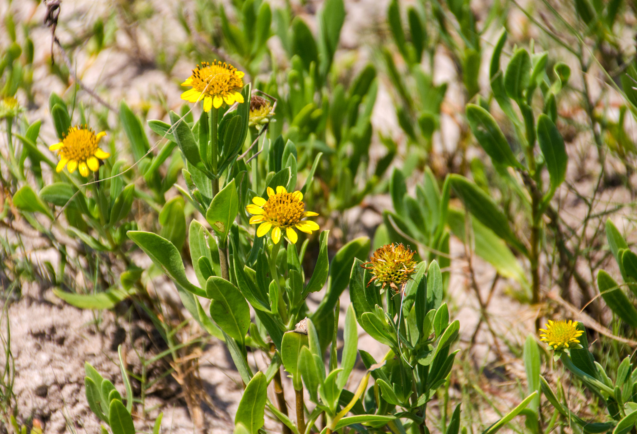
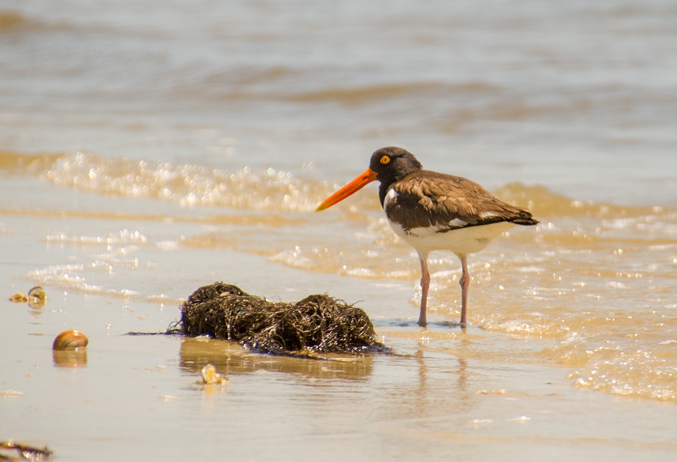
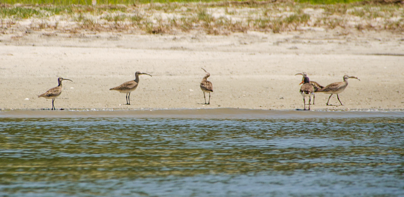
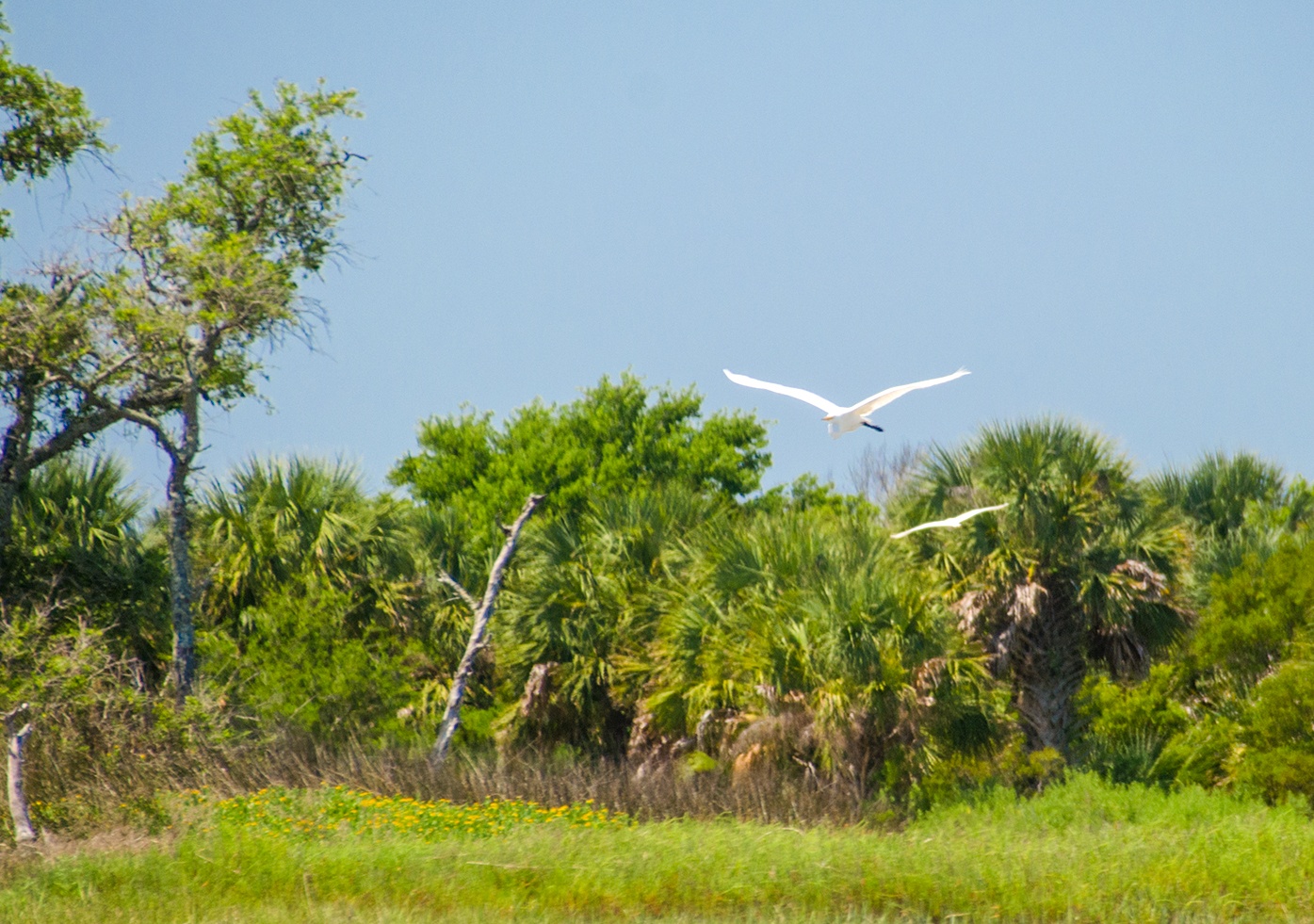
Cumberland Flora & Fauna
Guides, Maps & Info…
![]()