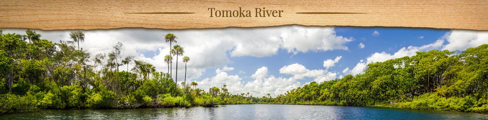
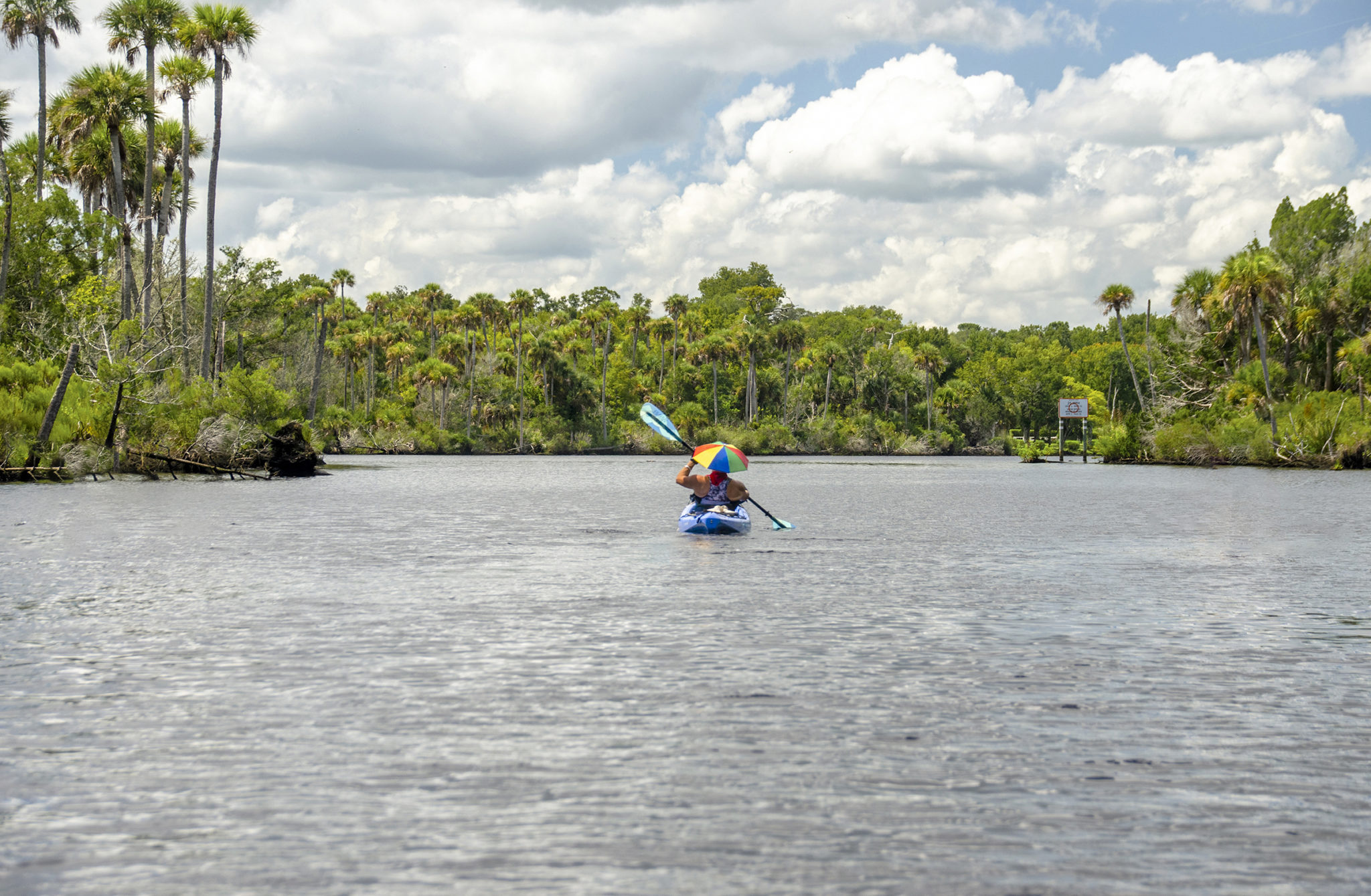
Tomoka River Overview

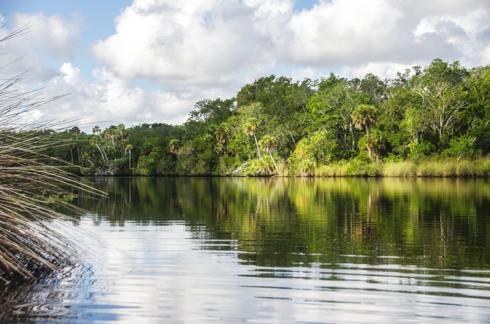
The Tomoka River is a 19.6-mile north-northeast flowing waterway originating in Volusia County, just west of Port Orange. It winds its way through a mix of freshwater swamp, hardwood hammock, and tidal marsh before emptying into the Halifax River and the Tomoka Marsh Aquatic Preserve. The upper portion of the river is narrow, winding, and heavily canopied—ideal for shaded, tranquil paddling—while the lower section opens up near Highway 40, eventually giving way to expansive coastal marshes as it nears Tomoka State Park.
Due to its rich scenery and ecological value, the Tomoka River, from River Bend Nature Park to Tomoka State Park, is a state-designated Florida Paddling Trail. This stretch of river is home to a variety of wildlife, including manatees, otters, bald eagles, and wood storks, making it popular with nature lovers and birdwatchers. The surrounding estuarine system supports both salt and freshwater species, offering diverse fishing opportunities as well.
The high ground now occupied by Tomoka State Park was once the site of Nocoroco, a Timucuan Native American village. Explorer Alvaro Mexia documented the village in 1605, marking the first recorded European contact. Today, a statue of Chief Tomokie stands within the park, commemorating local legend and adding cultural interest to the site. Along the river’s course, paddlers can spot remnants of old coquina rock outcroppings and historic fishing camps that reflect the area’s long connection to the water. The mix of natural beauty, historical significance, and recreational access makes the Tomoka River a unique and rewarding paddling destination on Florida’s east coast.
![]()

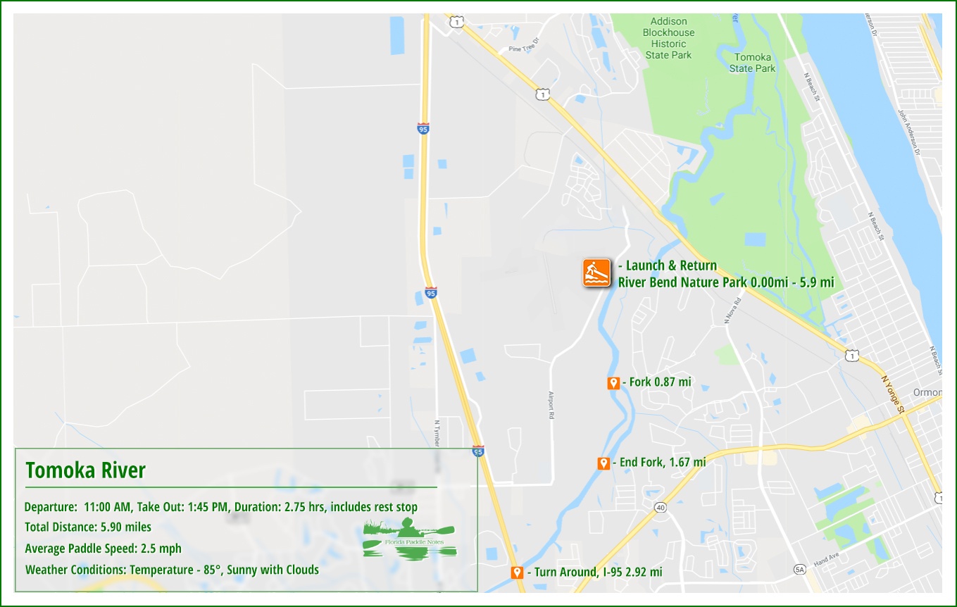
Tomoka River Details
![]() Location: The Tomoka River is a north-flowing river in Volusia County. The source is located in a swamp area West of Port Orange. It flows North for almost 10 miles before widening out at Hwy 40. From there it flows northeast into the Halifax River near Ormond Beach.
Location: The Tomoka River is a north-flowing river in Volusia County. The source is located in a swamp area West of Port Orange. It flows North for almost 10 miles before widening out at Hwy 40. From there it flows northeast into the Halifax River near Ormond Beach.
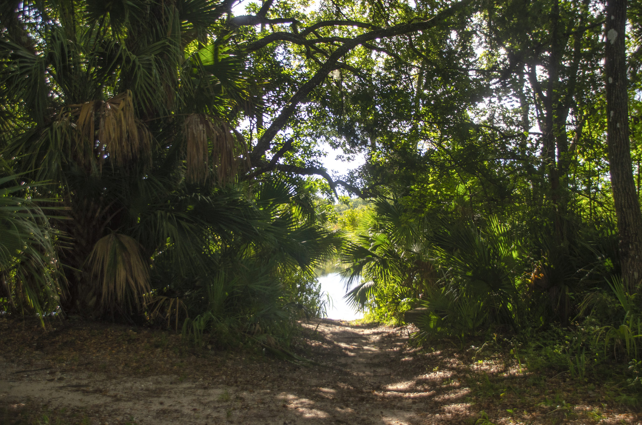
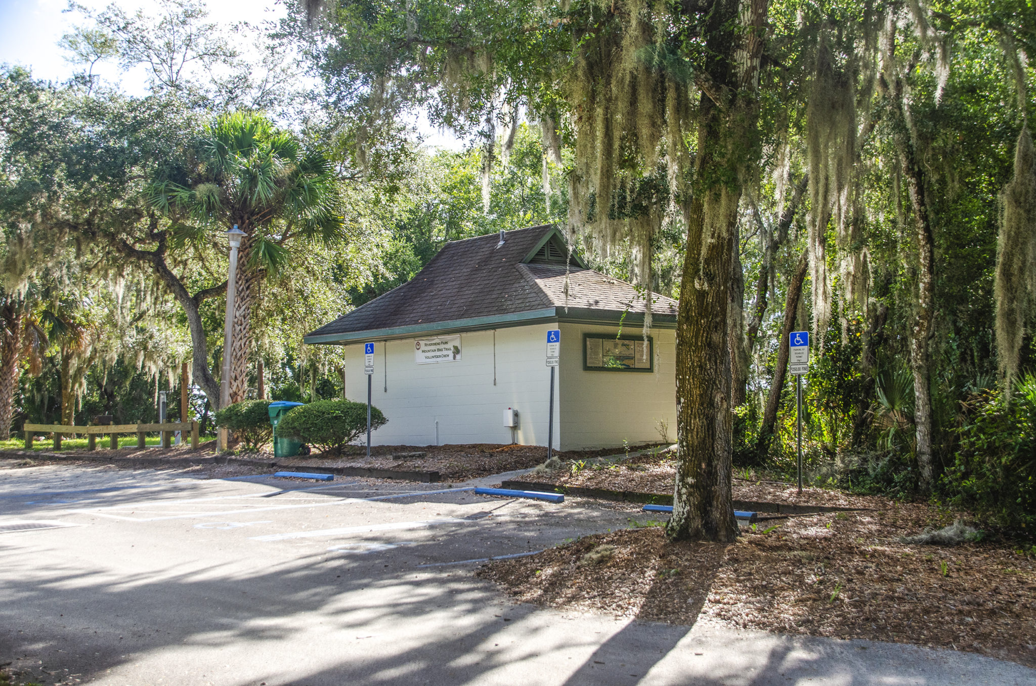
![]() Launch Point: The launch point for this paddle is at River Bend Nature Park. It is a small narrow path down to the water, with a sandy beach. The portage is about 200′ from the closest parking spot, basically sandy with roots. There are clean restroom facilities at the park.
Launch Point: The launch point for this paddle is at River Bend Nature Park. It is a small narrow path down to the water, with a sandy beach. The portage is about 200′ from the closest parking spot, basically sandy with roots. There are clean restroom facilities at the park.
![]() Paddle Distance: It is just under 3 miles from the River Bend Nature Park launch to I-95, our destination. The river is still wide enough to paddle for another 1.25 miles past I-95 and under Hwy 40.
Paddle Distance: It is just under 3 miles from the River Bend Nature Park launch to I-95, our destination. The river is still wide enough to paddle for another 1.25 miles past I-95 and under Hwy 40.
![]() Difficulty: Easy, though very open.
Difficulty: Easy, though very open.
 Average Paddle Speed: 2.4 mph.
![]() Width and Depth: The Tomoka River is just under 300′ wide at the launch, narrowing to 200′ at I-95. The average depth on this paddle was 8′-10′.
Width and Depth: The Tomoka River is just under 300′ wide at the launch, narrowing to 200′ at I-95. The average depth on this paddle was 8′-10′.
![]() Current – Tidal: Gentle tide, that ranges 1′ – 2′, the tides are more evident as it flows closer to the Halifax River.
Current – Tidal: Gentle tide, that ranges 1′ – 2′, the tides are more evident as it flows closer to the Halifax River.
![]() Side Paddles: No side paddles on this section of the river.
Side Paddles: No side paddles on this section of the river.
![]() Rest Areas: Only at the launch, and if in emergency, underneath I-95.
Rest Areas: Only at the launch, and if in emergency, underneath I-95.
![]() Important Information: Watch the tides, bring sunscreen and check on wind conditions.
Important Information: Watch the tides, bring sunscreen and check on wind conditions.
Tomoka River Paddle Map
River Bend Nature Park
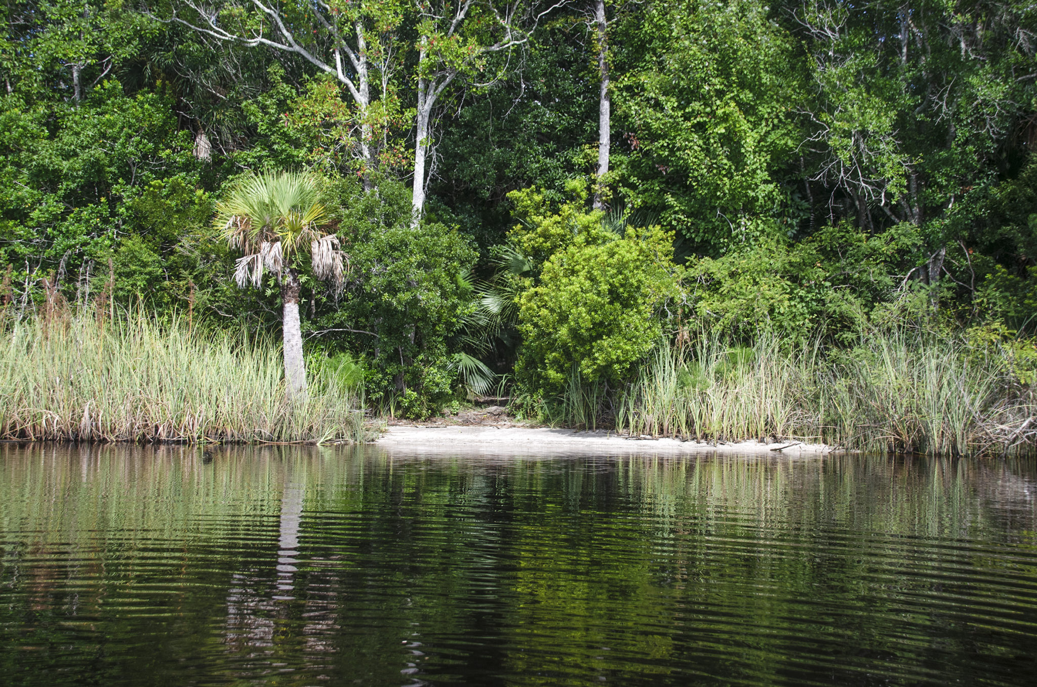
The launch for this paddle was at River Bend Nature Park. Although it was not clearly marked just where the launch was, a brief walk around led to a path that led to the river. The river was just under 200′ from the parking lot to the water, portaging over mostly sand and a few roots. The water’s edge was firm and sandy making launching quite easy.
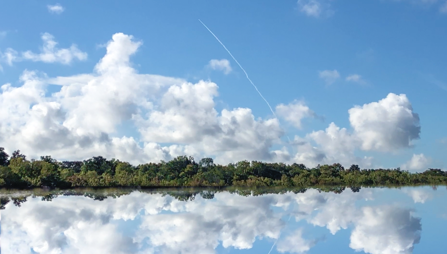
The morning was sunny, in the 80’s already and the blue sky was full of beautiful white clouds. I was fortunate to have arrived at the park just in time to watch the launch of a Delta IV rocket from Cape Canaveral…very cool!
Diverse Habitats
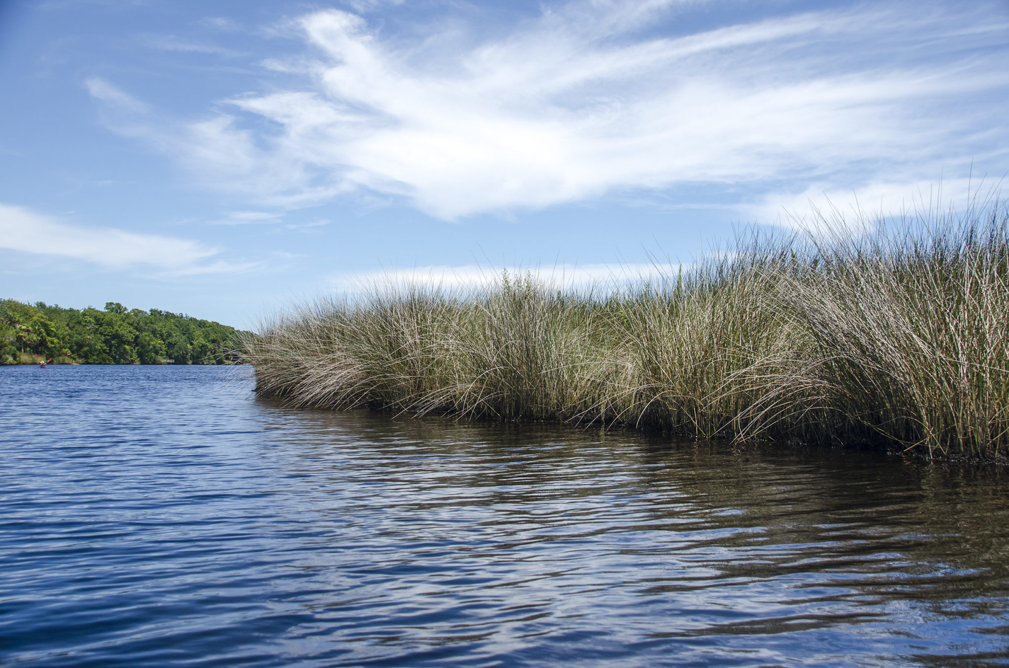
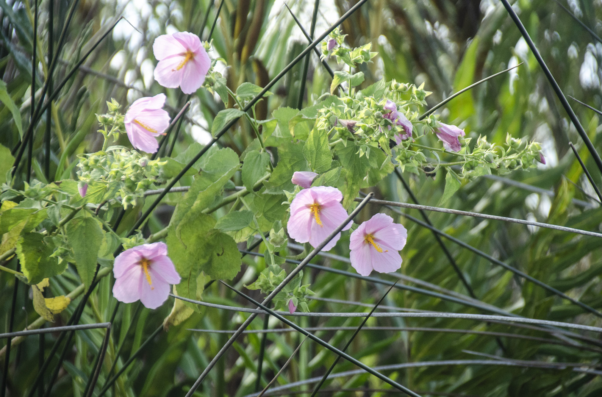
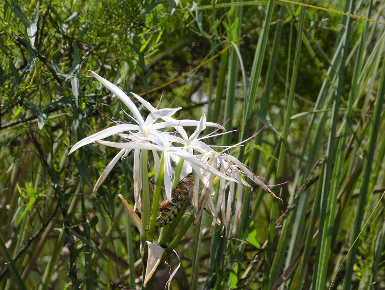
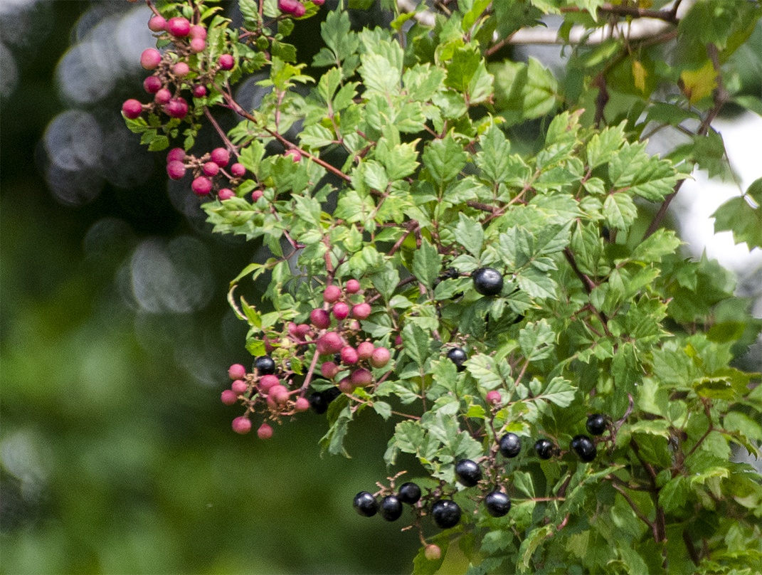
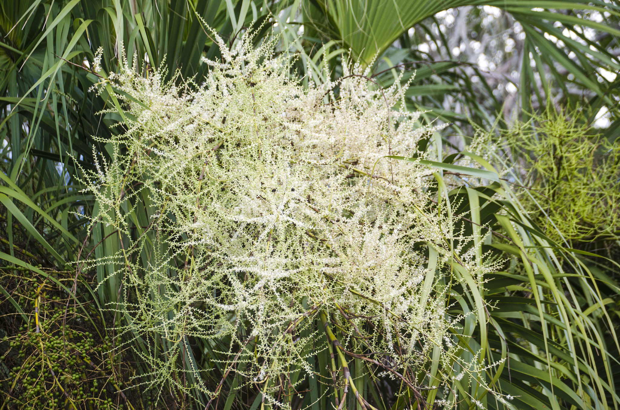
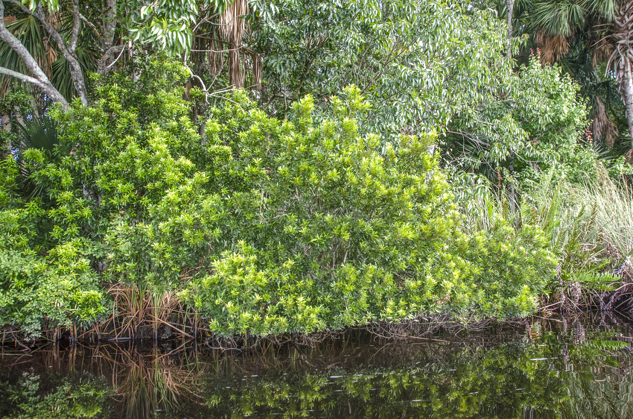
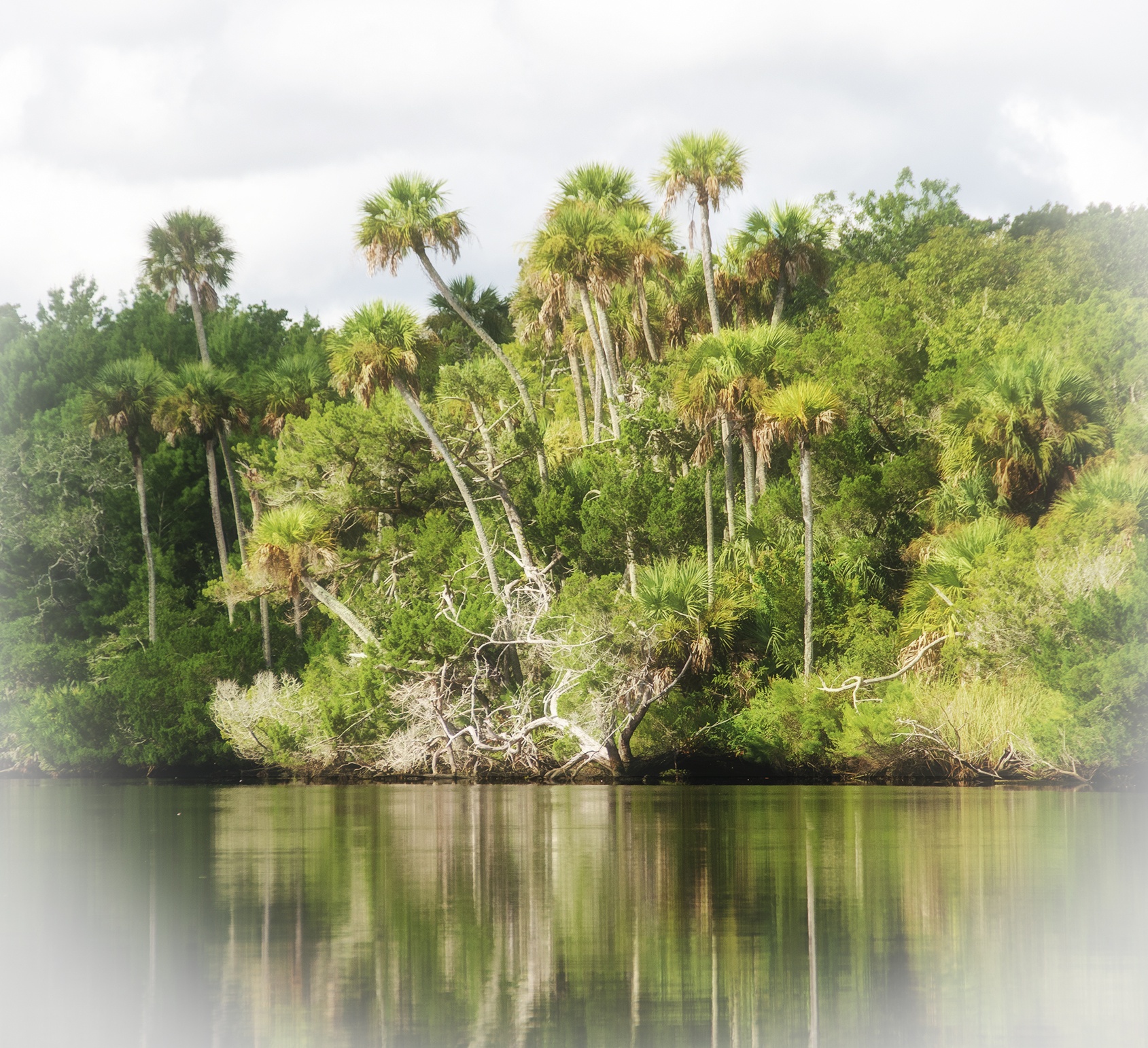
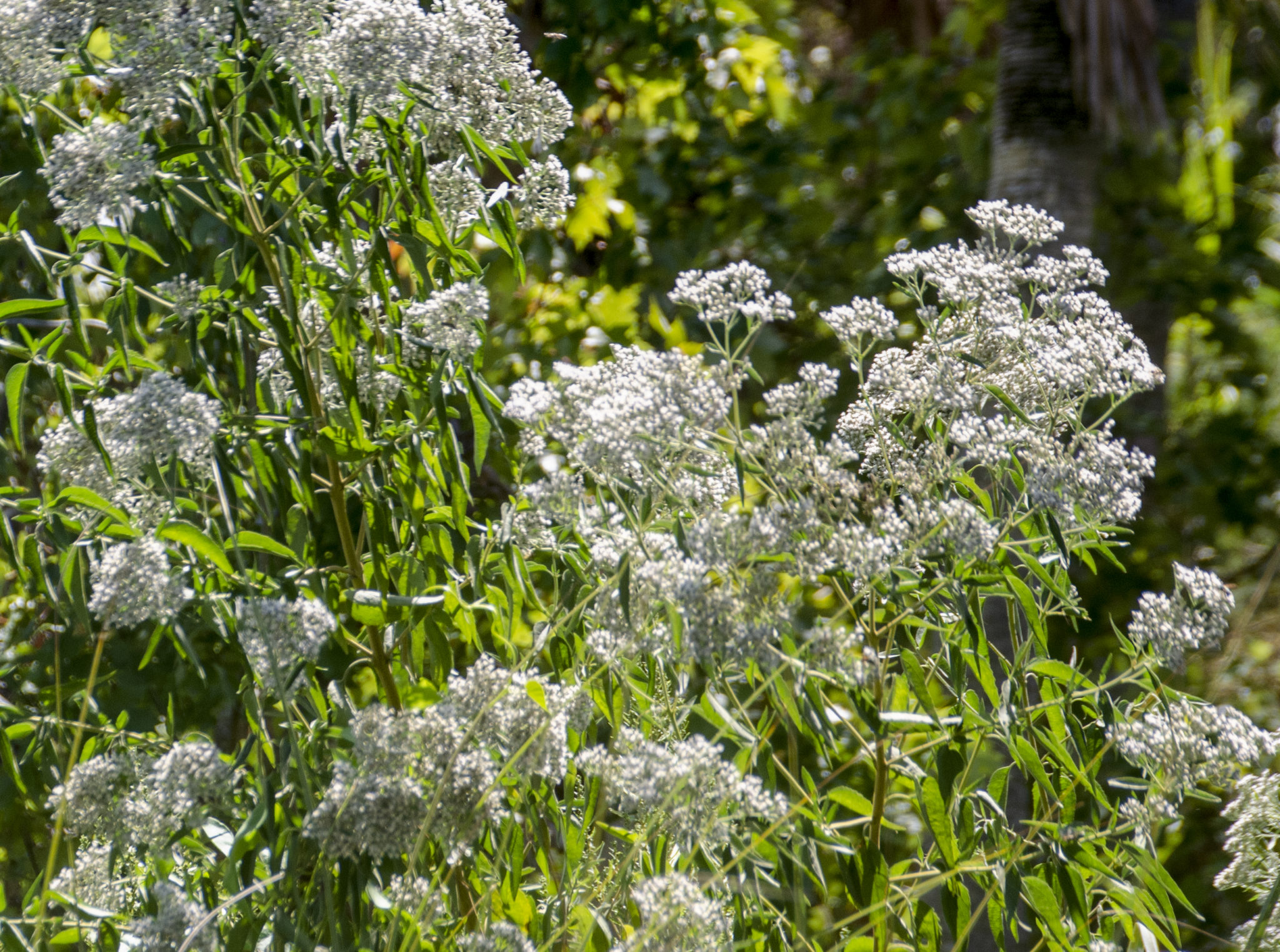
Launching, I spent some time exploring the difference between the two very different shorelines. Across the river was a marsh, bordered by a consistent wall of Black Needlerush, numerous Saltmarsh Mallows in full bloom and Swamp Lilies, with bulbs and roots exposed due to the tide, also in full bloom.
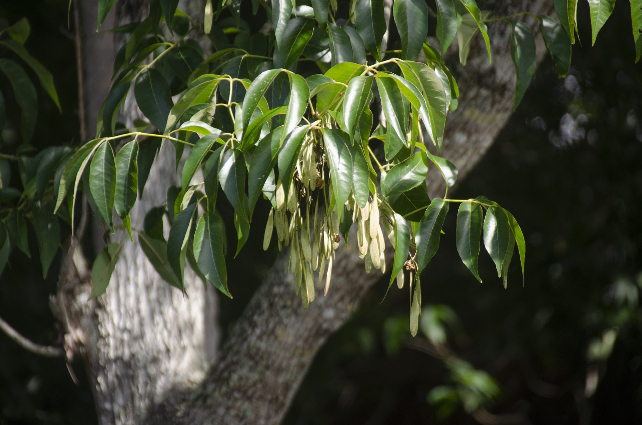
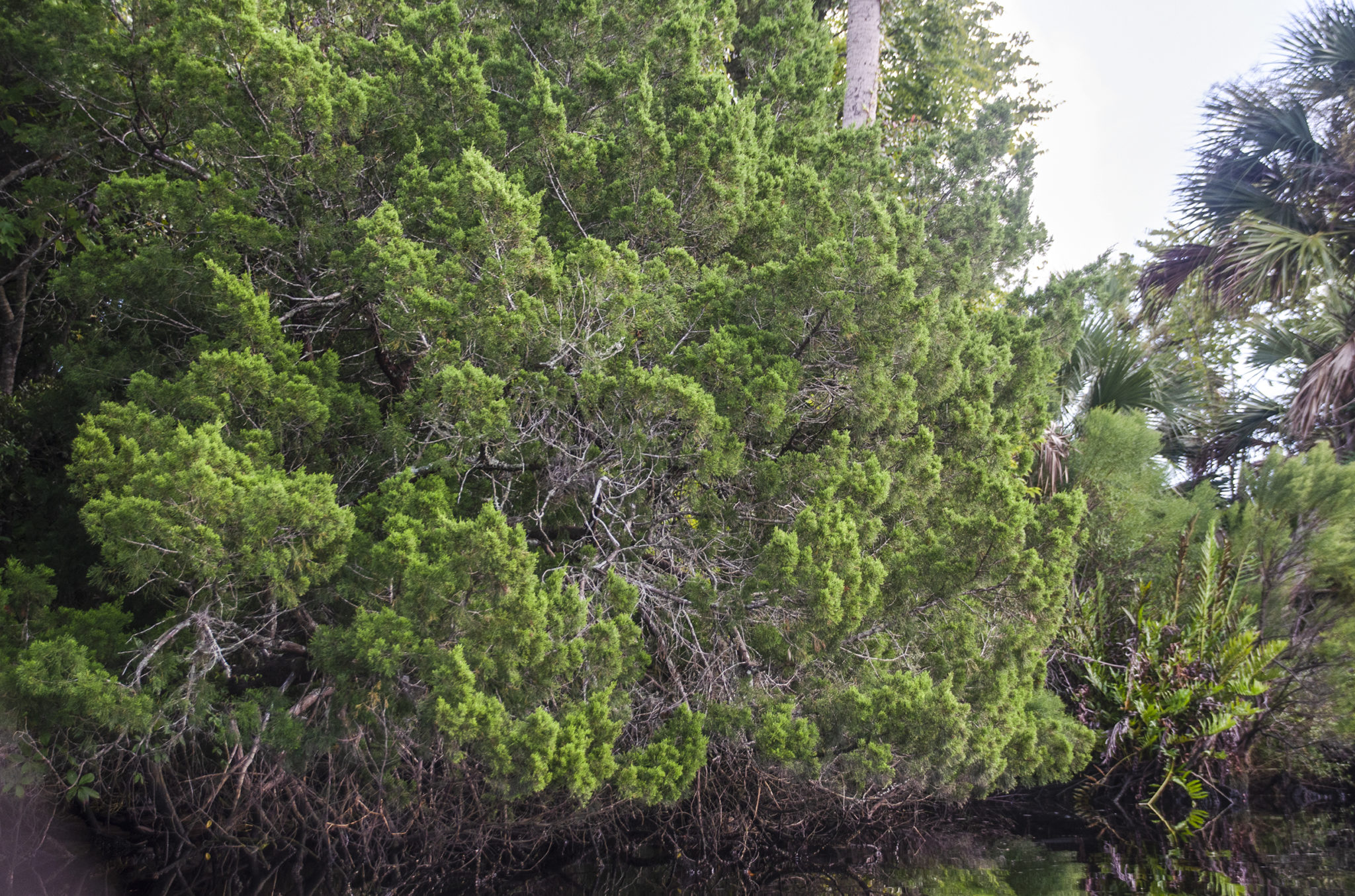
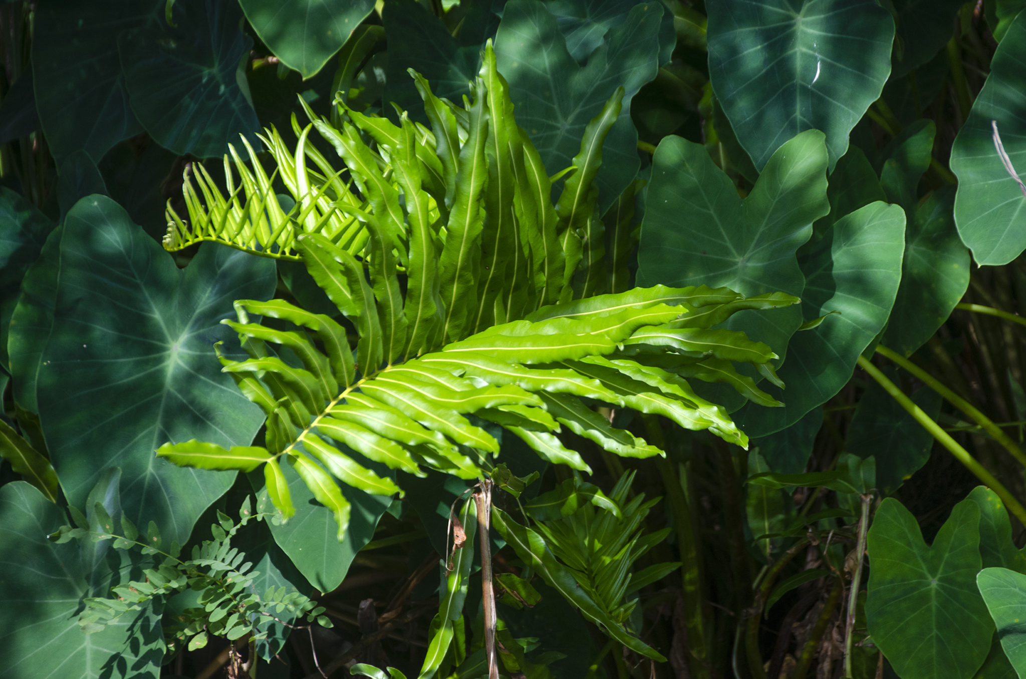
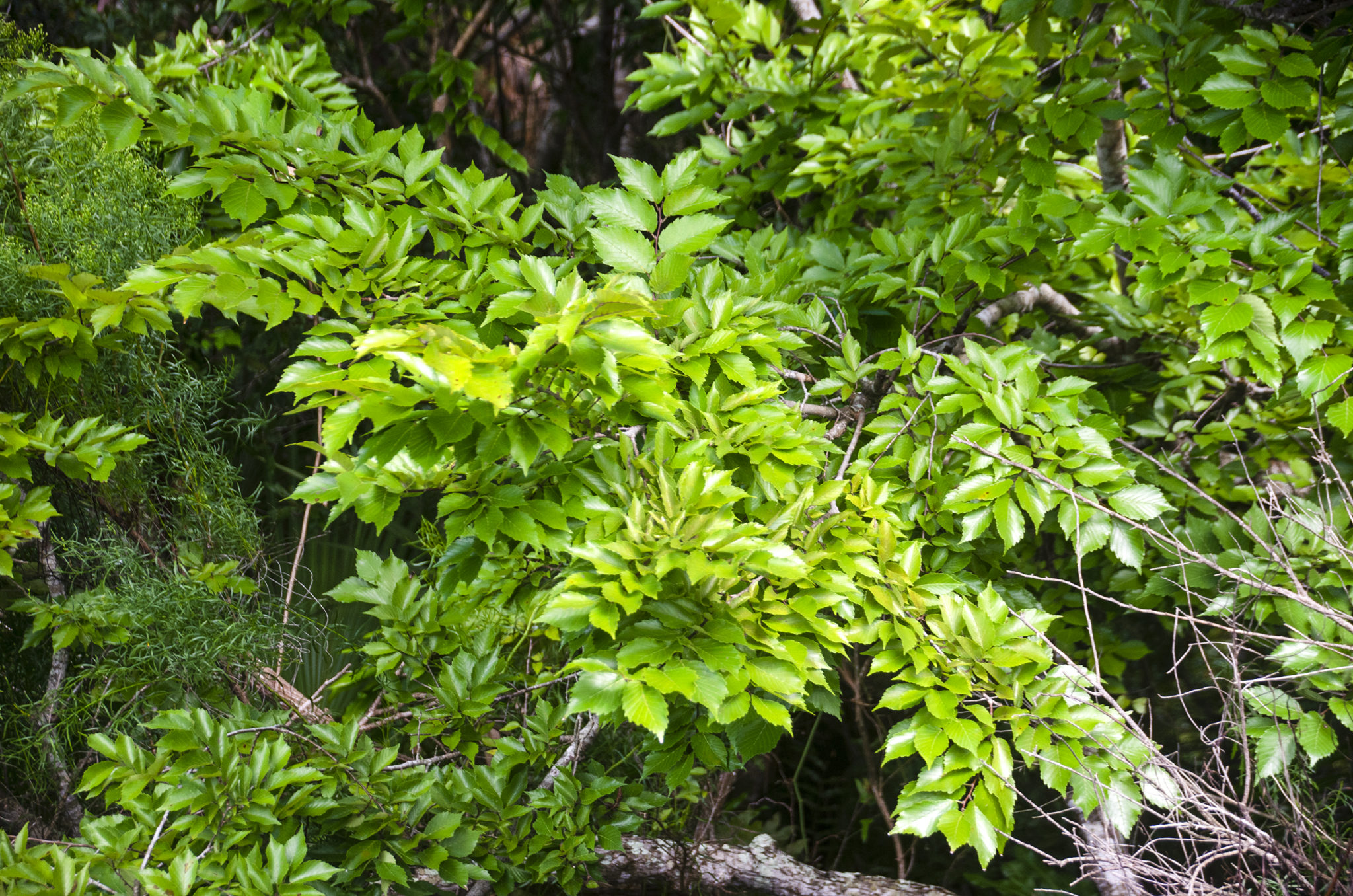
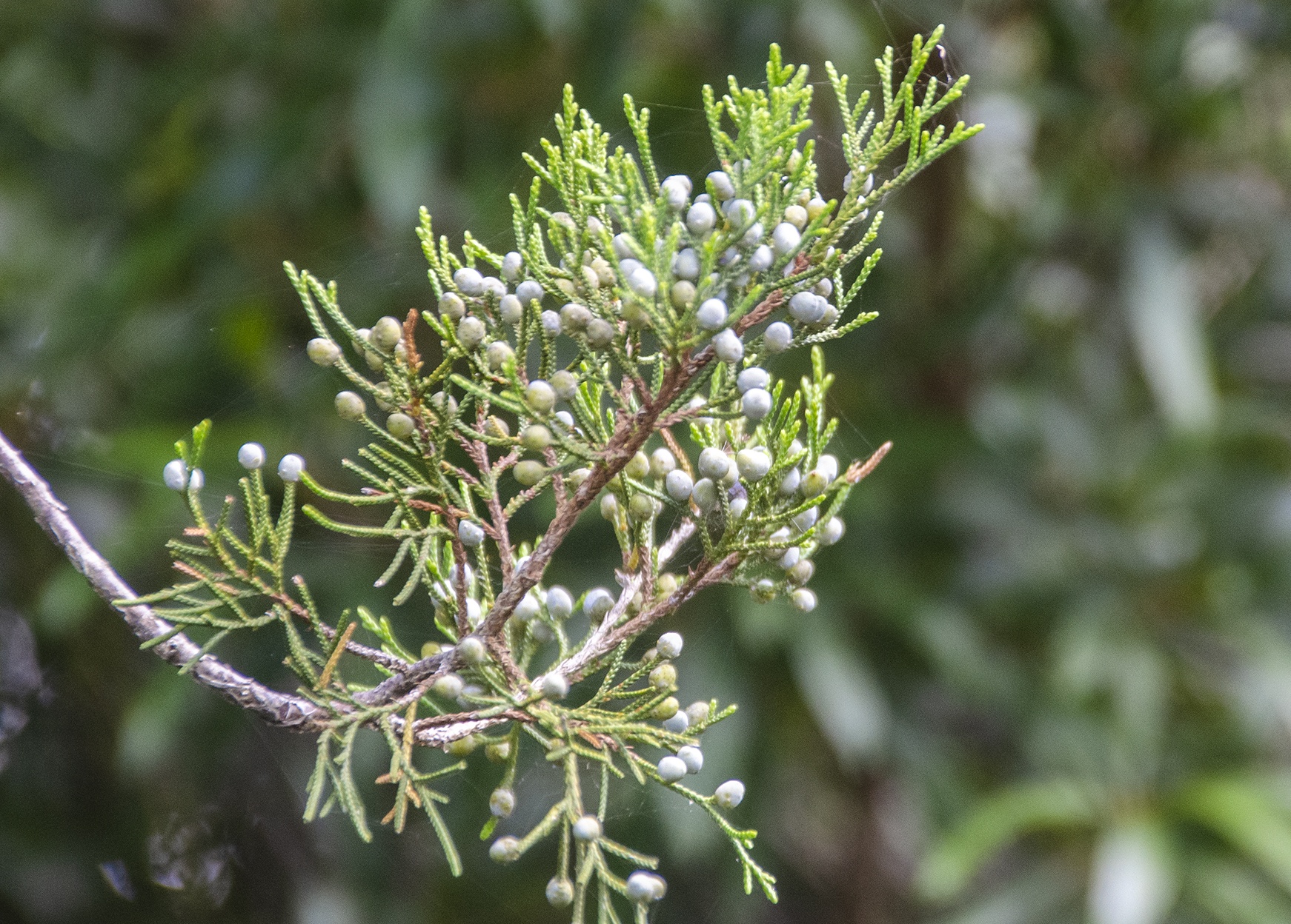
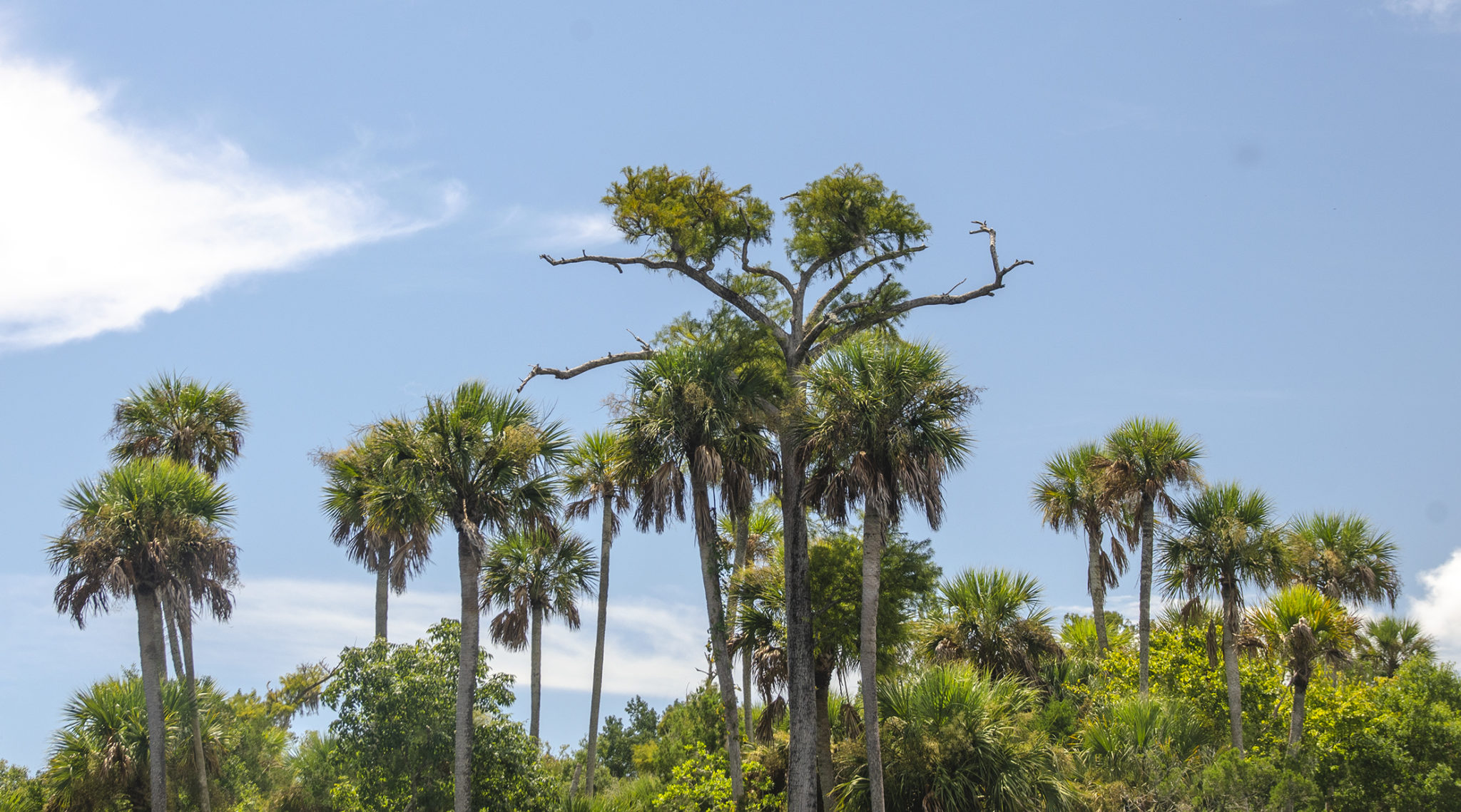
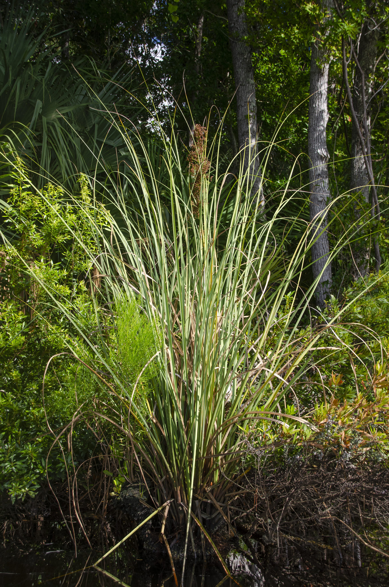
In contrast, the launch shoreline was a magnificent display of a diverse flora. Numerous species of trees to include Sabal Palmetto, Pignut Hickory, Cedar, Ash and Oaks, growing among a variety of shrubs and vines that included, Willow, Wax Myrtle, Palmettos, False Willow and several fruiting vines that I could not identify. It was such a stark difference of habitat just across 300′ of water!


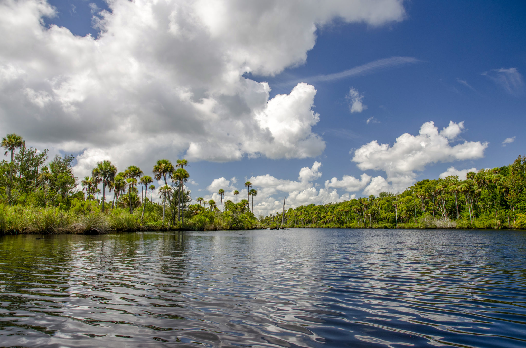
The Tomoka River
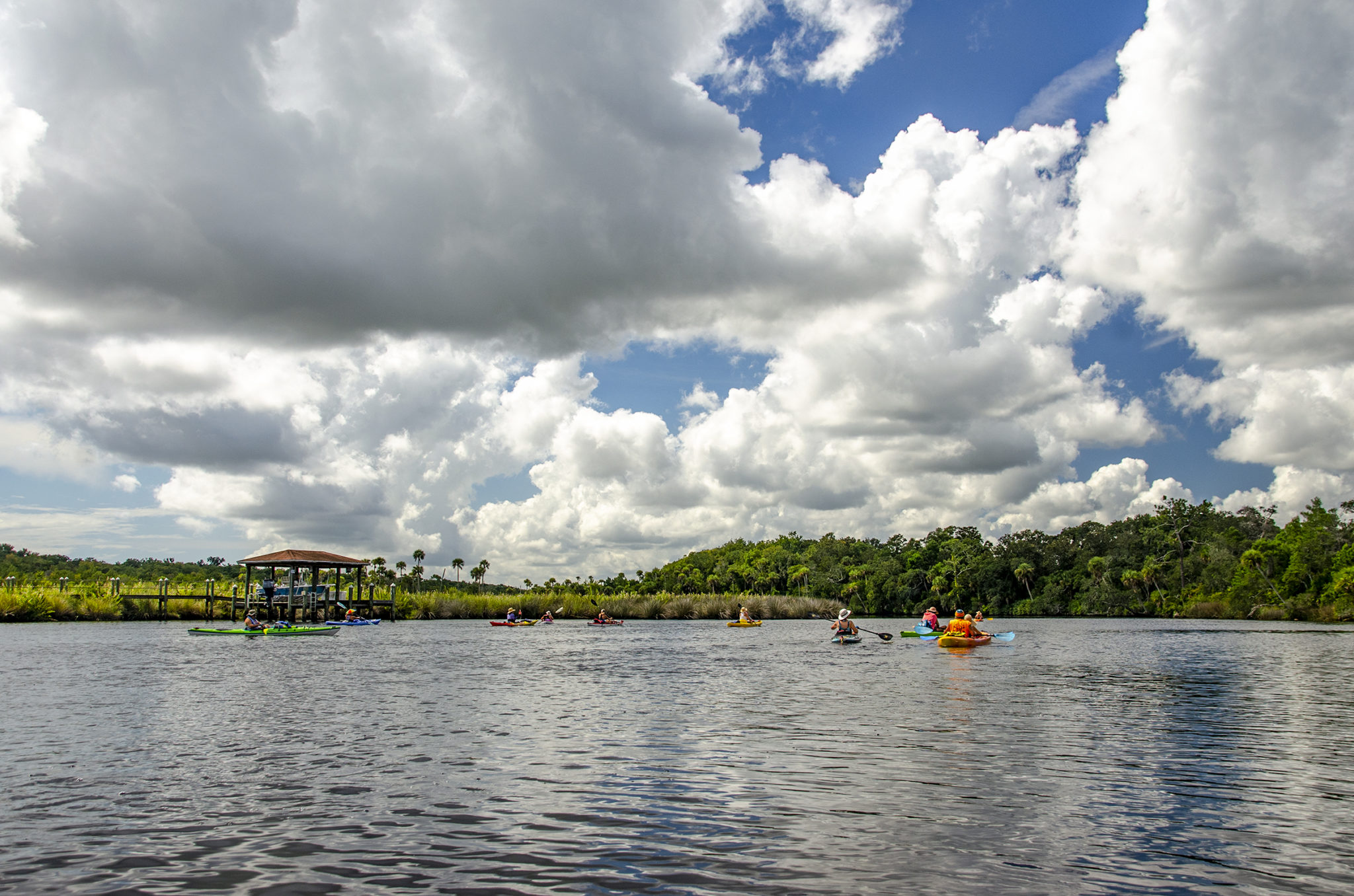
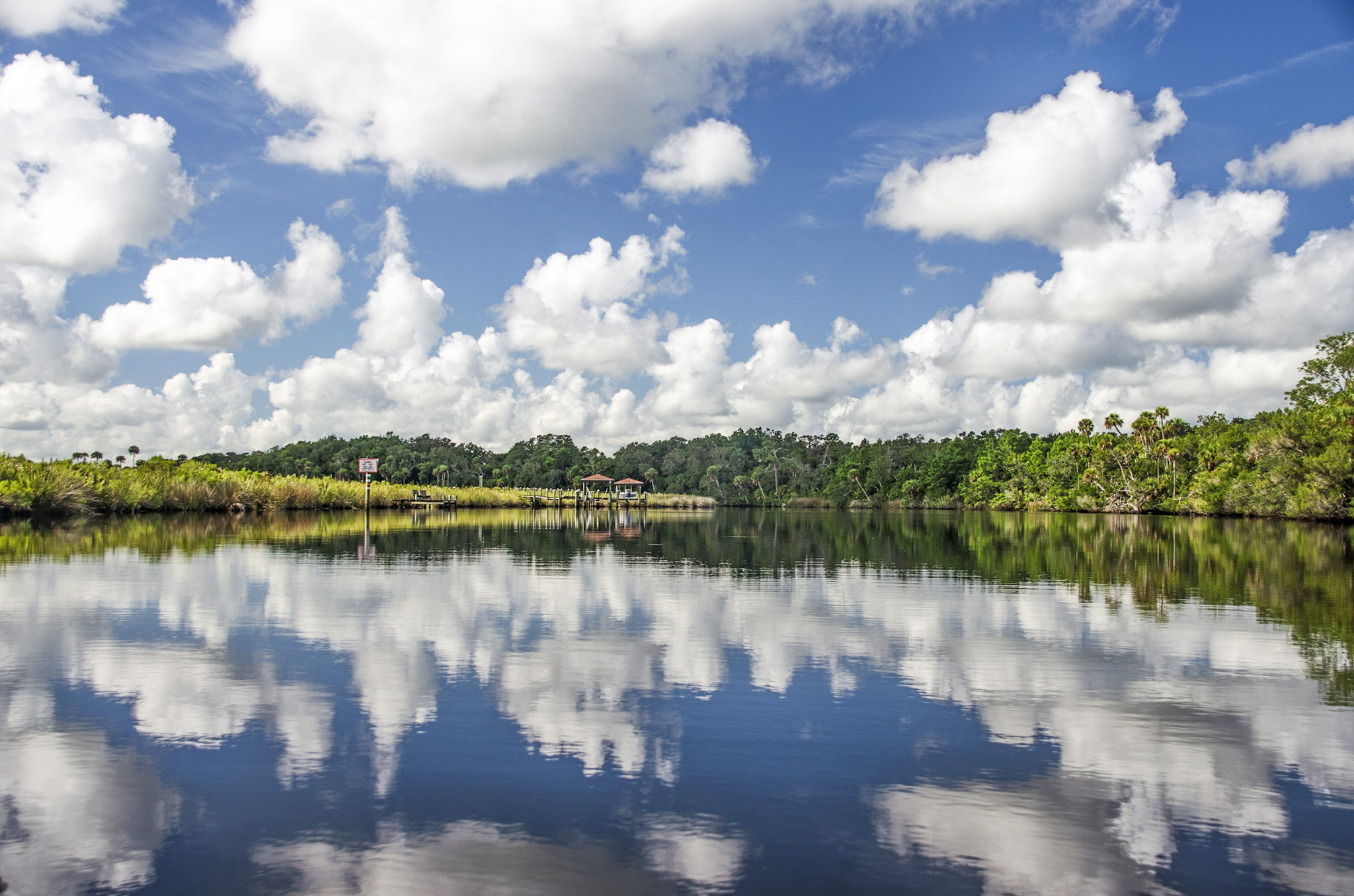
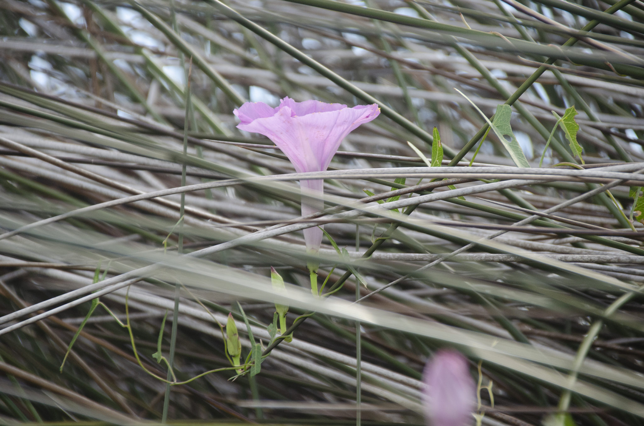
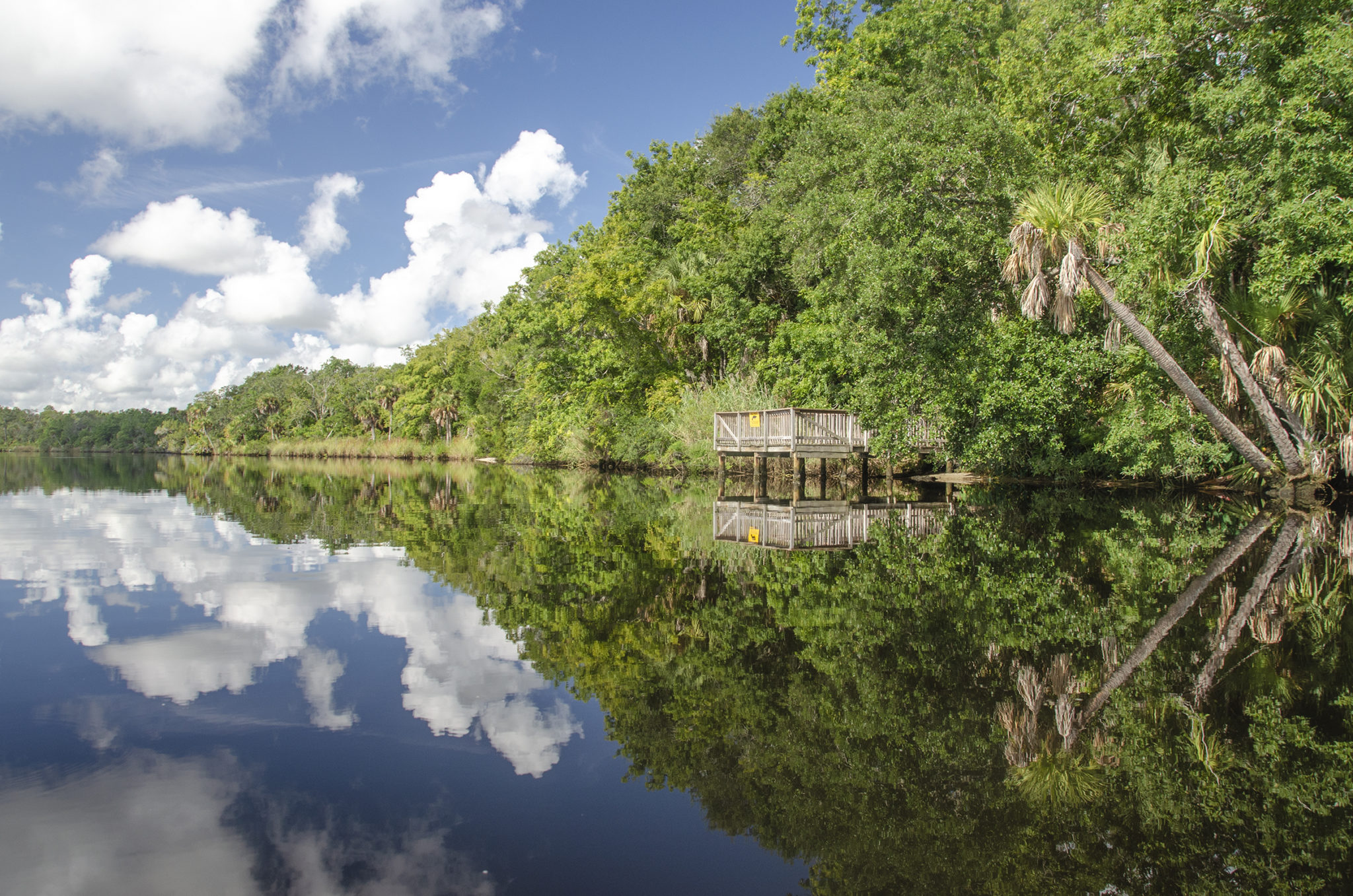
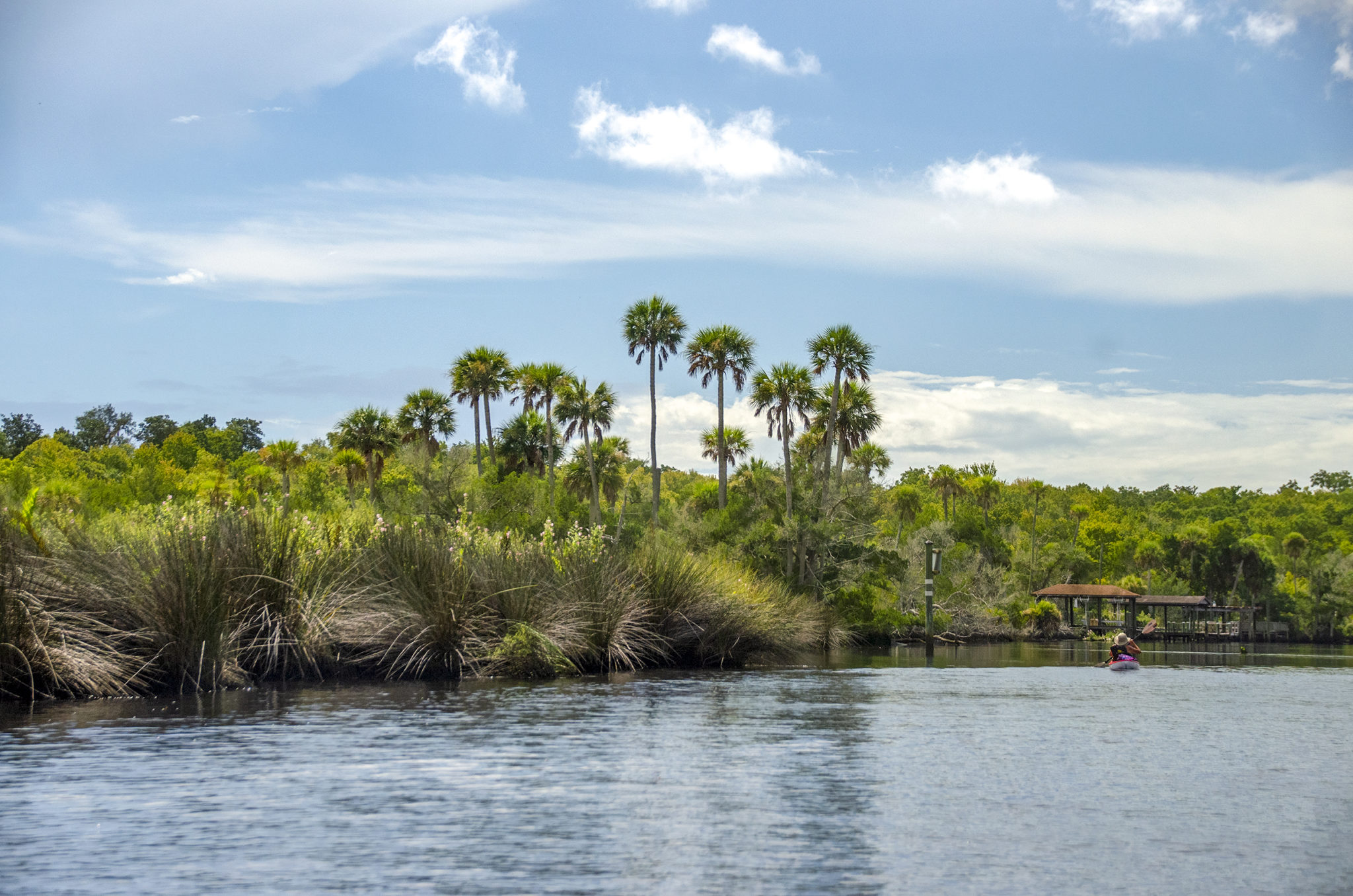
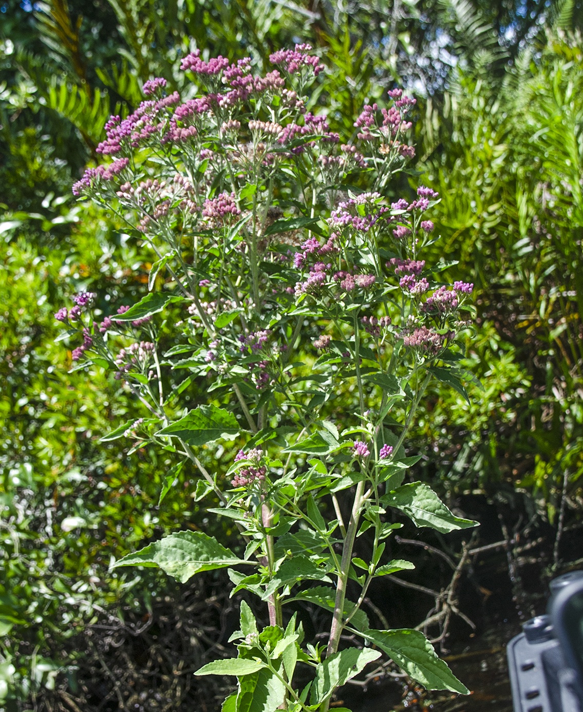
The Tomoka River is open with no canopy on this section. The shorelines are now similar, Sabal Palmettos being the main attraction, accented with Palmettos, Willows and Wax Myrtle. Saltmarsh Mallow and Saltmarsh Morning Glory provided color accents most of the trip. Numerous docks and boat houses were along the river, as were some very large luxury homes.
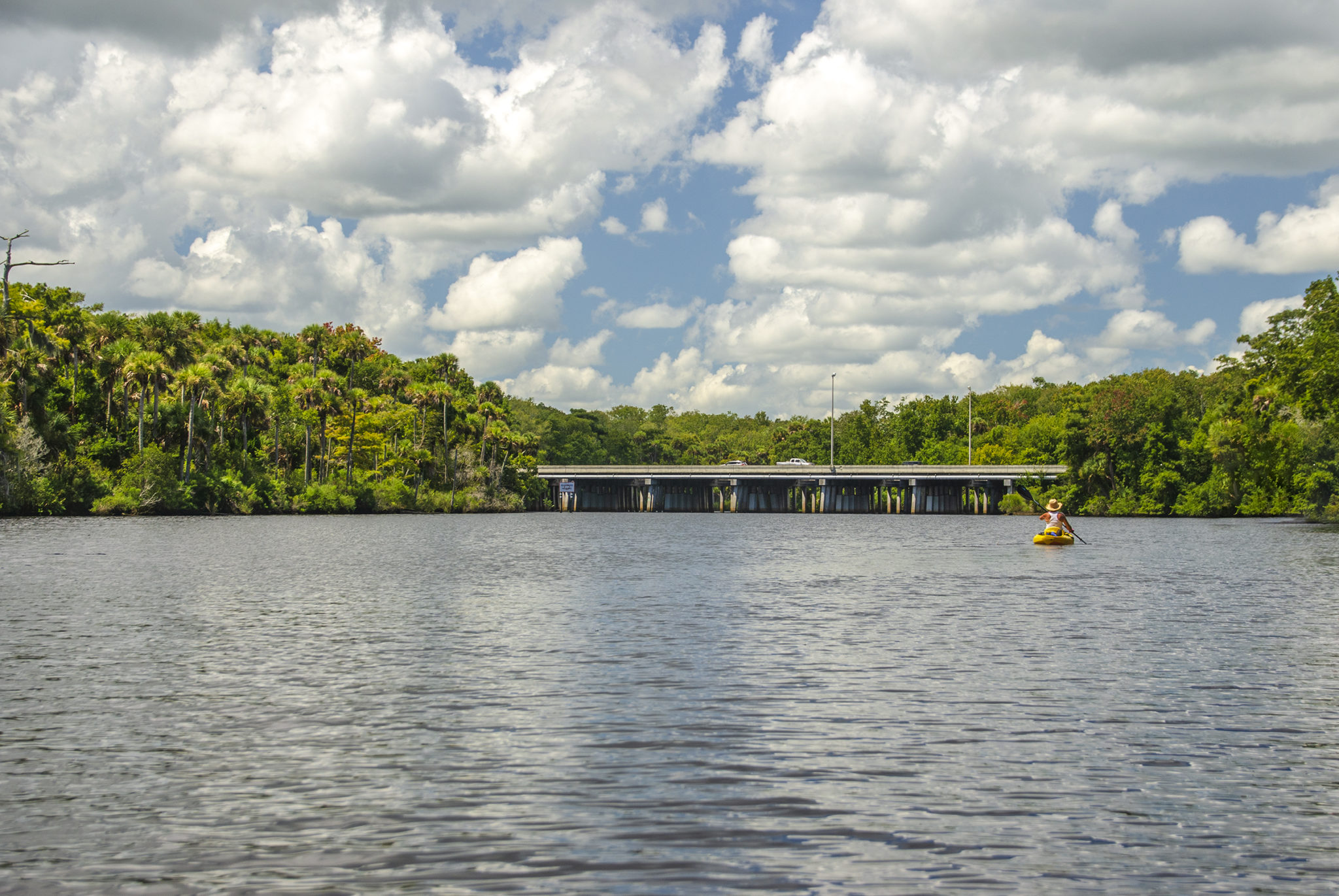
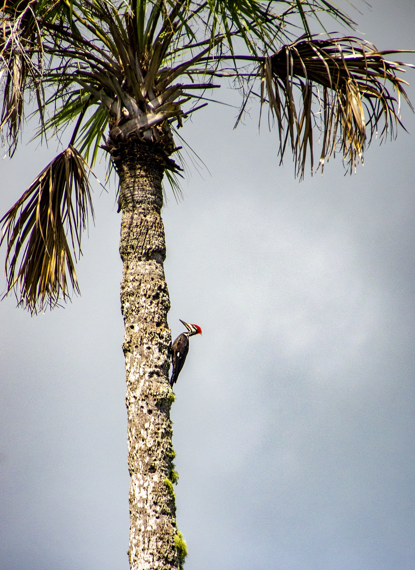
For most of the trip, the tide was coming in so we paddled with a slight current and a light breeze at our backs. Reaching I-95, we enjoyed a 15 minute rest under the shade of the bridges and the breeze feeling great. The paddle back was uneventful. Also of note, for the impressive amount of bird species that inhabit the river, I only saw 1 Pileated Woodpecker! The Eagles, Ospreys and such must of been downstream closer to the Tomoka Basin and Aquatic Preserve.
The Tomoka River, was one paddle, that I have never done. I was impressed with the habitat and glad to have seen so many blooming plants. Next time I would like to paddle and extra 1 mile past I-95 and experience the river as it narrows, before becoming to obstructed to paddle.

Guides, Maps & Info
- Tomoka River Paddle Guide, (pdf)…
- Tomoca River State Park..
- Tomoca River Topo Map…
- USGS Current Conditions – Tomoca River..