Florida Paddle Notes Waterways
![]()
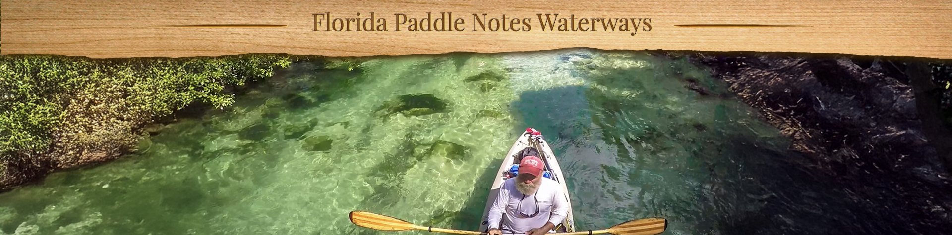
Florida Paddle Notes document my many paddles on Florida’s beautiful waterways. I provide information, photos, and resources to help make planning your next trip easier and more enjoyable. I hope you find Florida Paddle Notes interesting and useful. Enjoy, and please feel free to comment. See you on the water! – James
Below is a list of waterways I’ve paddled, followed by an interactive map with links to detailed information.
RIVERS ~ CREEKS & SPRING RUNS ~ LAKES ~ PRAIRIES & WETLANDS ~ CANALS ~ FLORIDA GULF & OTHER OPEN WATERS
![]()
Rivers
Alafia River ~ Chassahowitzka River ~ Crystal River – Kings Bay ~ Homosassa River ~ Hontoon Dead River ~ Ichetucknee River ~ Little Manatee River ~ Ocklawaha River ~ Outlet River ~ Rainbow River ~ Santa Fe River ~ Silver River ~ St. Mary’s River ~ Suwannee River ~ Tomoka River ~ Waccasassa River ~ Weeki Wachee River ~ Wekiva River (Lower) ~ Withlacoochee River (N) ~ Withlacoochee River (S)
Creeks and Spring Runs
Alexander Spring Creek ~ Alligator Creek ~ Bear Creek ~ Black Creek – North Fork ~ Bulow Creek North ~ Cannon Springs ~ Crawford Creek ~ Cross Creek ~ Deep Creek ~ Dunns Creek ~ Durbin Creek ~ Gilchrist Blue Spring Run ~ Indian Creek – Gissy Spring ~ Gum Slough ~ Haw Creek ~ Juniper Creek Upper ~ Juniper Creek Lower ~ Manatee Springs ~ Mud Spring ~ Olustee Creek ~ Otter Creek ~ Pellicer/Styles Creek ~ Prairie Creek ~ Rock Springs Run ~ Salt Springs Run ~ Sweetwater Creek
Lakes
Floral City Lake – Tsala Apopka ~ Halfmoon Lake ~ Lake Disston ~ Santa Fe Lake
Swamps, Prairies, and Wetlands
Okefenokee Swamp ~ Paynes Prairie ~ Smokehouse Prairie
Canals
Buckman Lock ~ Dora Canal ~ Santa Fe Canal
Florida Gulf and Other Open Waters
Cedar Keys – Atsena Otie Key ~ Cedar Keys – Scale Key ~ Cockroach Bay ~ Cumberland Island South ~ Fort De Soto – Mullet Key Bayou
Interactive Florida Paddle Trails Map
Each location marker has a link to the detailed post for that waterway…
Open a larger map in your browser…
THE WATERWAYS ~ FPN RESOURCES ~ ABOUT FPN ~ CONTACT FPN
![]()