
Brief Overview:
Gum Slough, located 10 miles Northeast of Inverness, Fl. ( 28°57’31.35”N, 82°13’53.49”W ), is a five-mile-long spring run that flows into the Withlacoochee River, near Potts Preserve. The slough, flowing through Gum Swamp and Half-Moon Wildlife Management Area, is fed from several springs known as the Gum Slough Springs Group, and the Seven Sisters Springs. These Include Wilson Head Spring, Alligator Spring, Gum Springs #1-#4 and Gum Spring Main. Gum Spring Main, the source, is a 2nd magnitude spring located at 28°57’31.35”N, 82°13’53.49”W. The slough flows in a predominantly Southwest direction from the main spring to the Withlacoochee River.
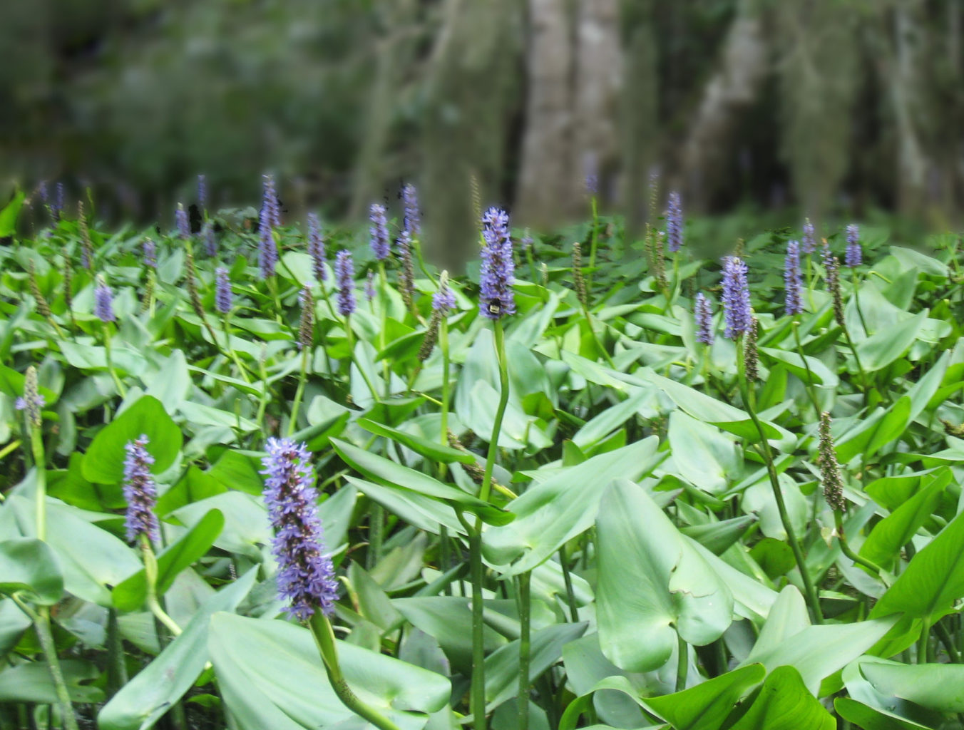
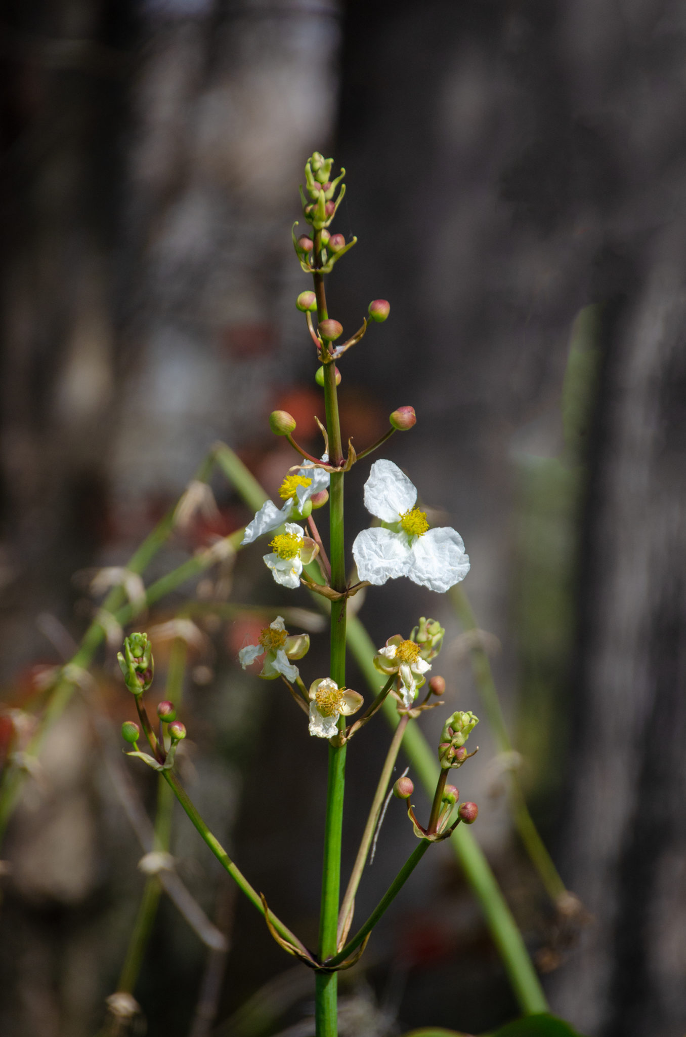
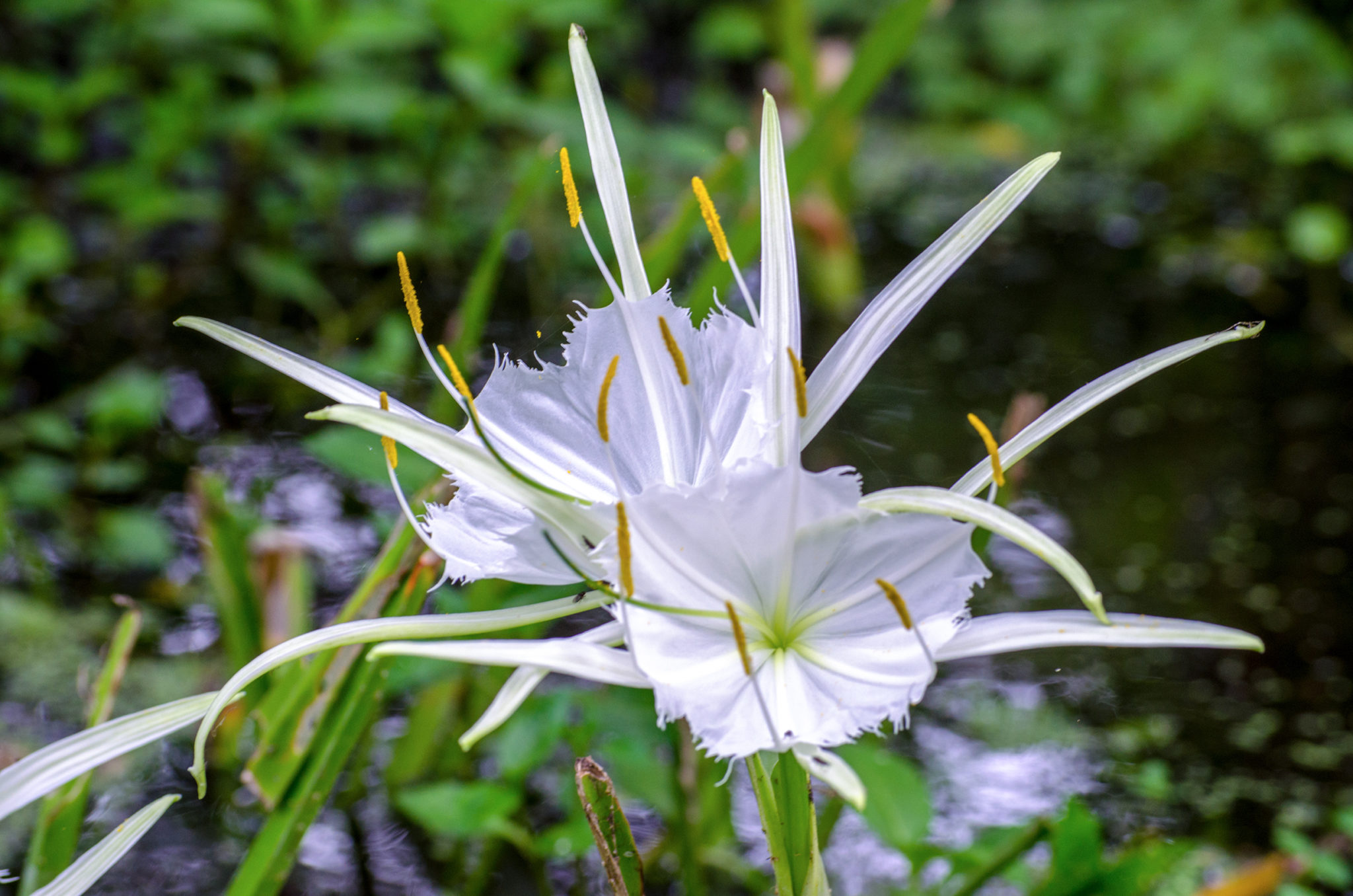
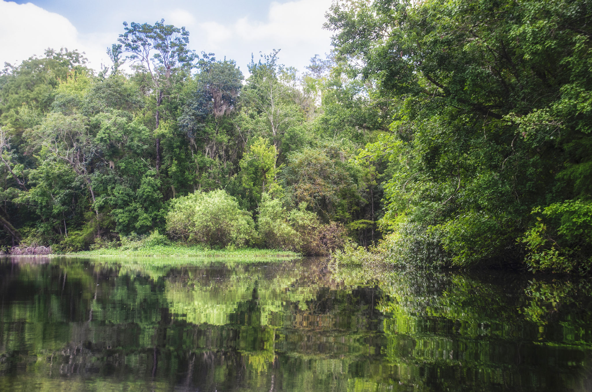
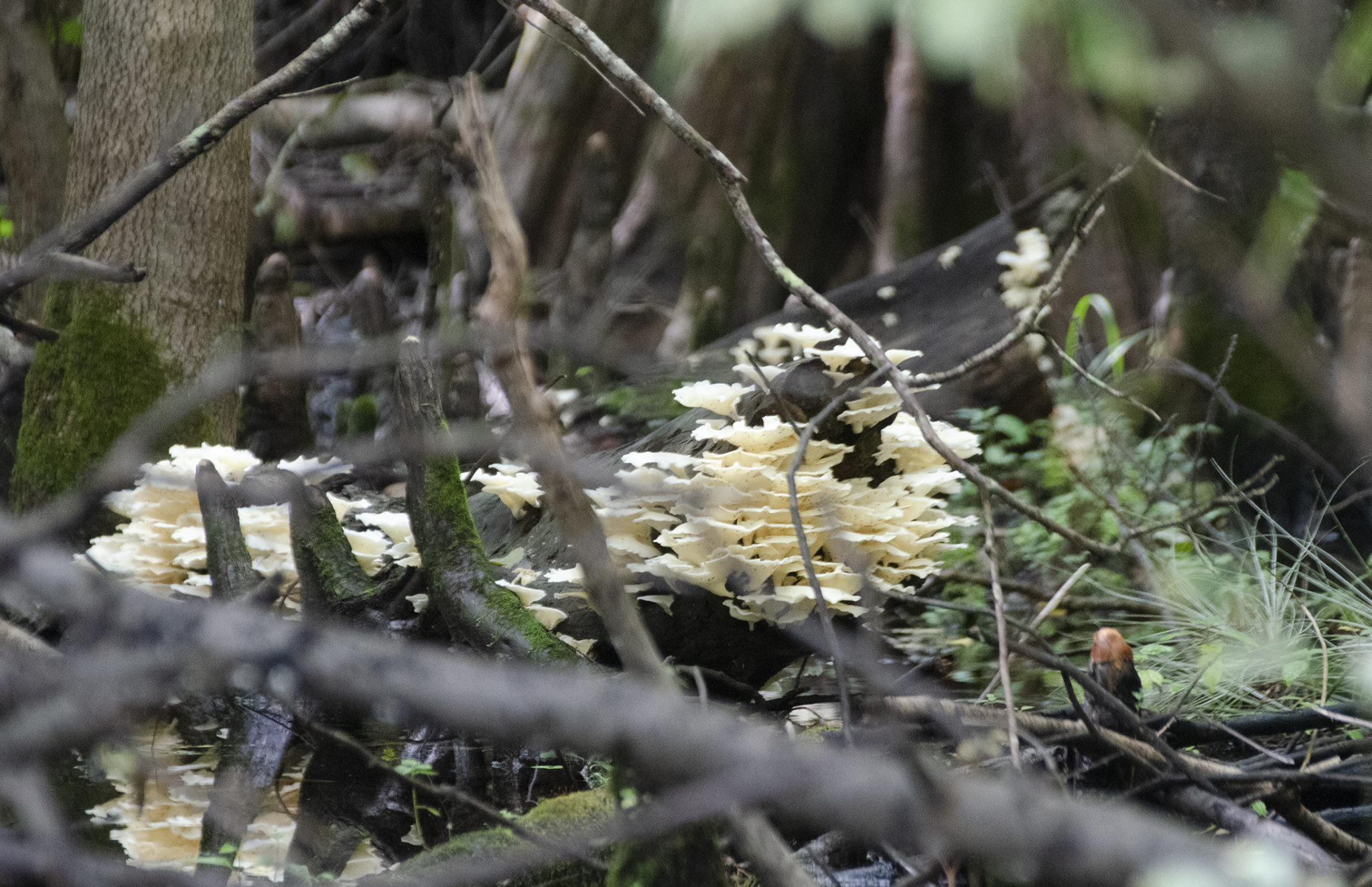
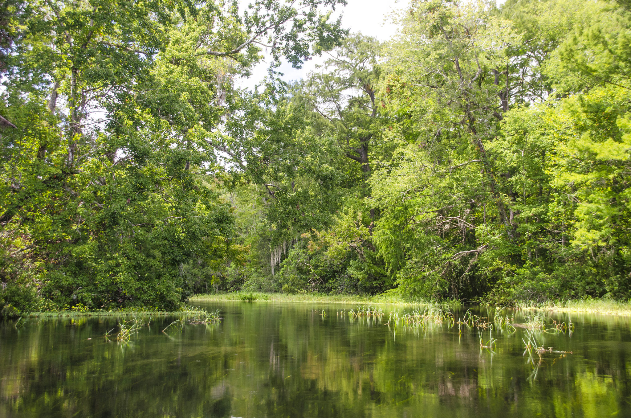
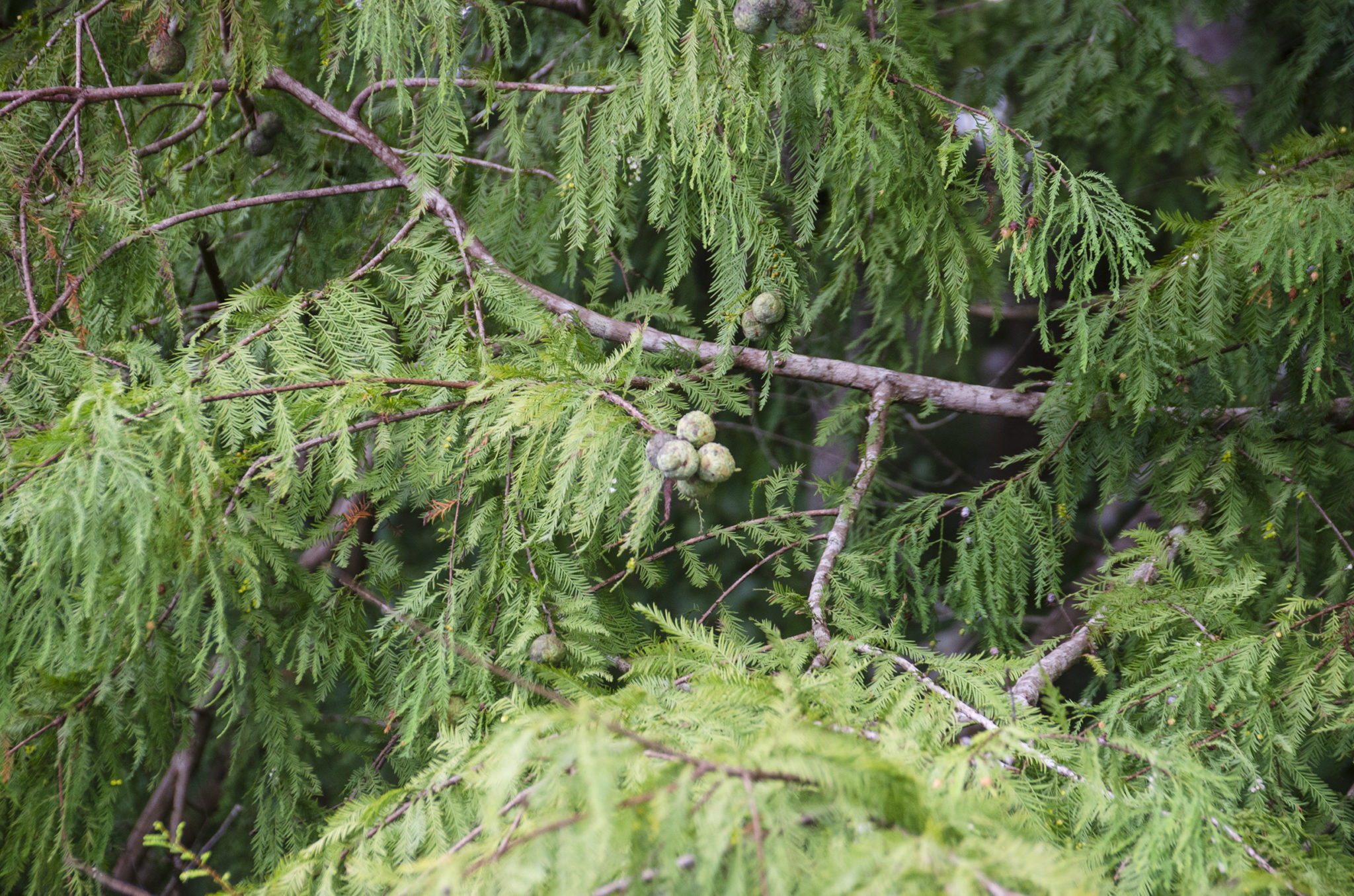
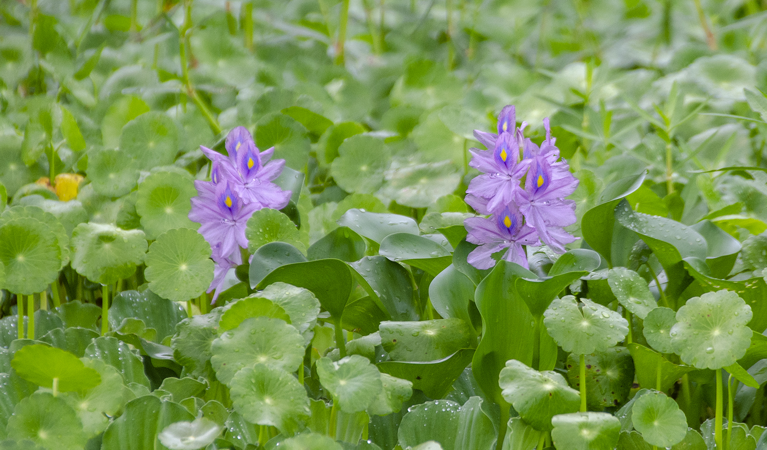
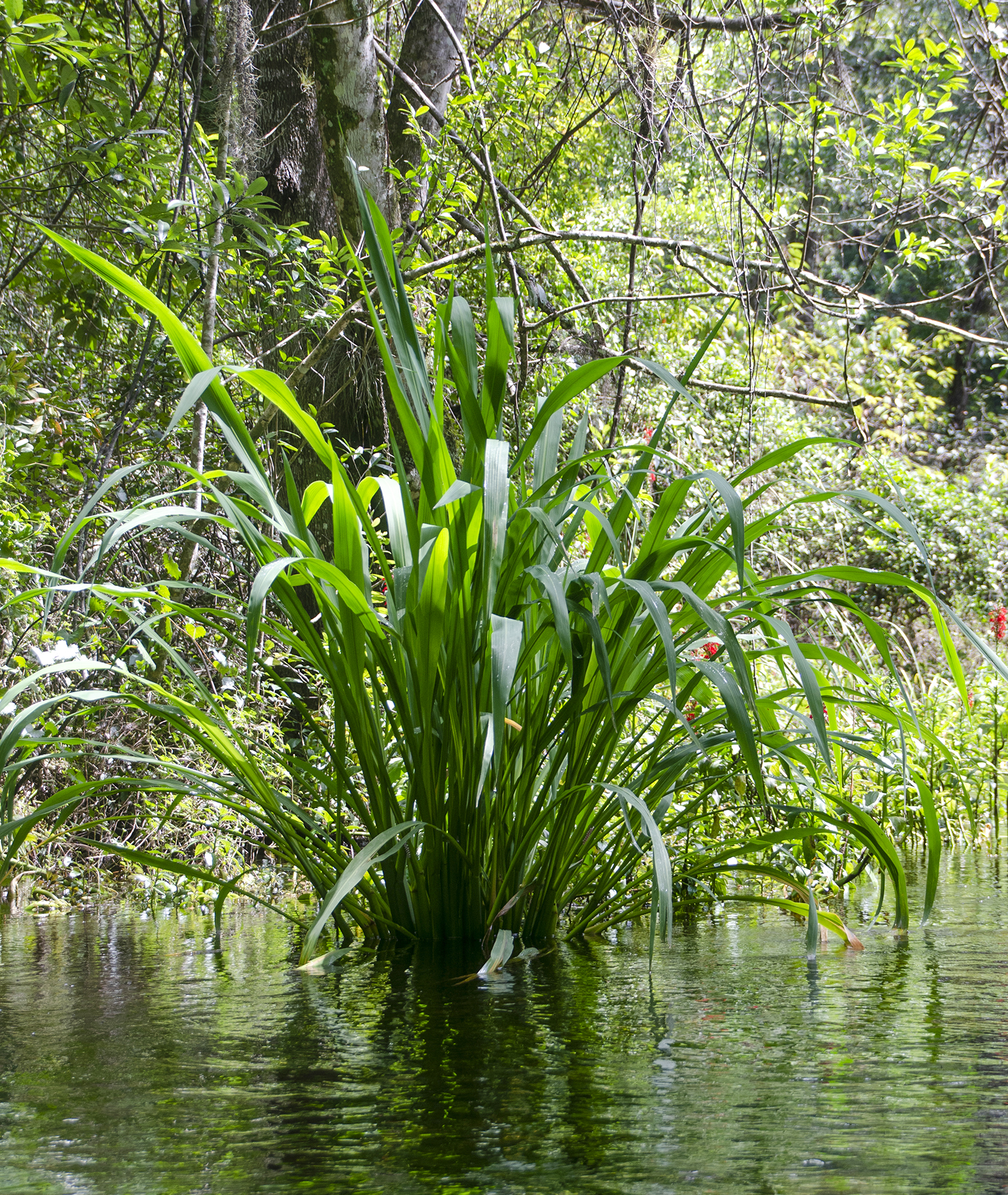
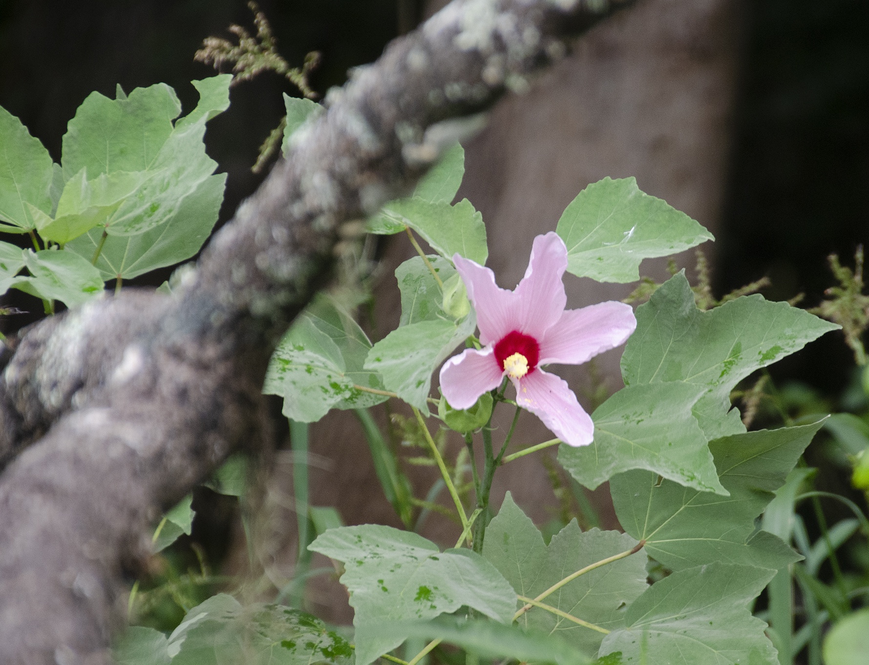
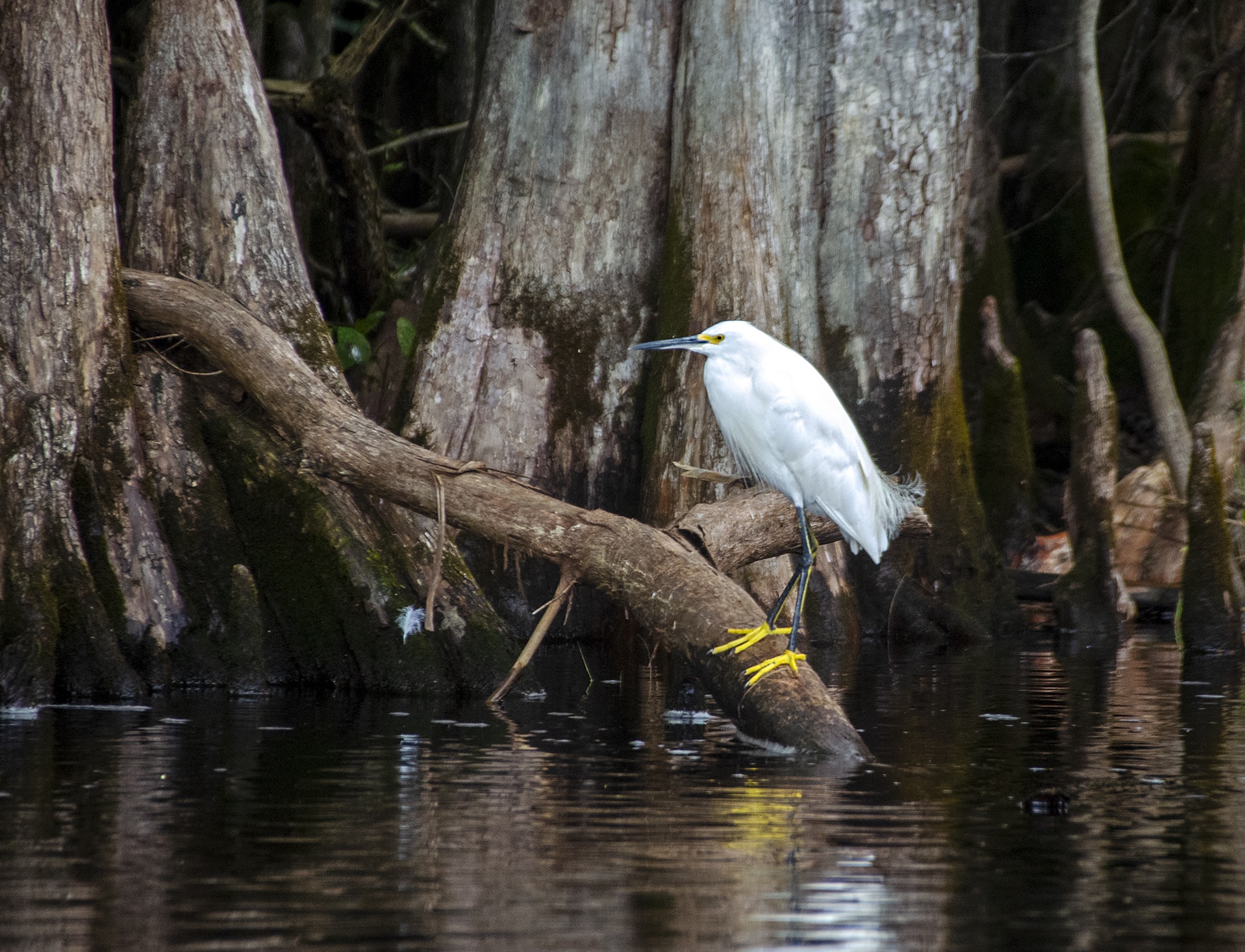
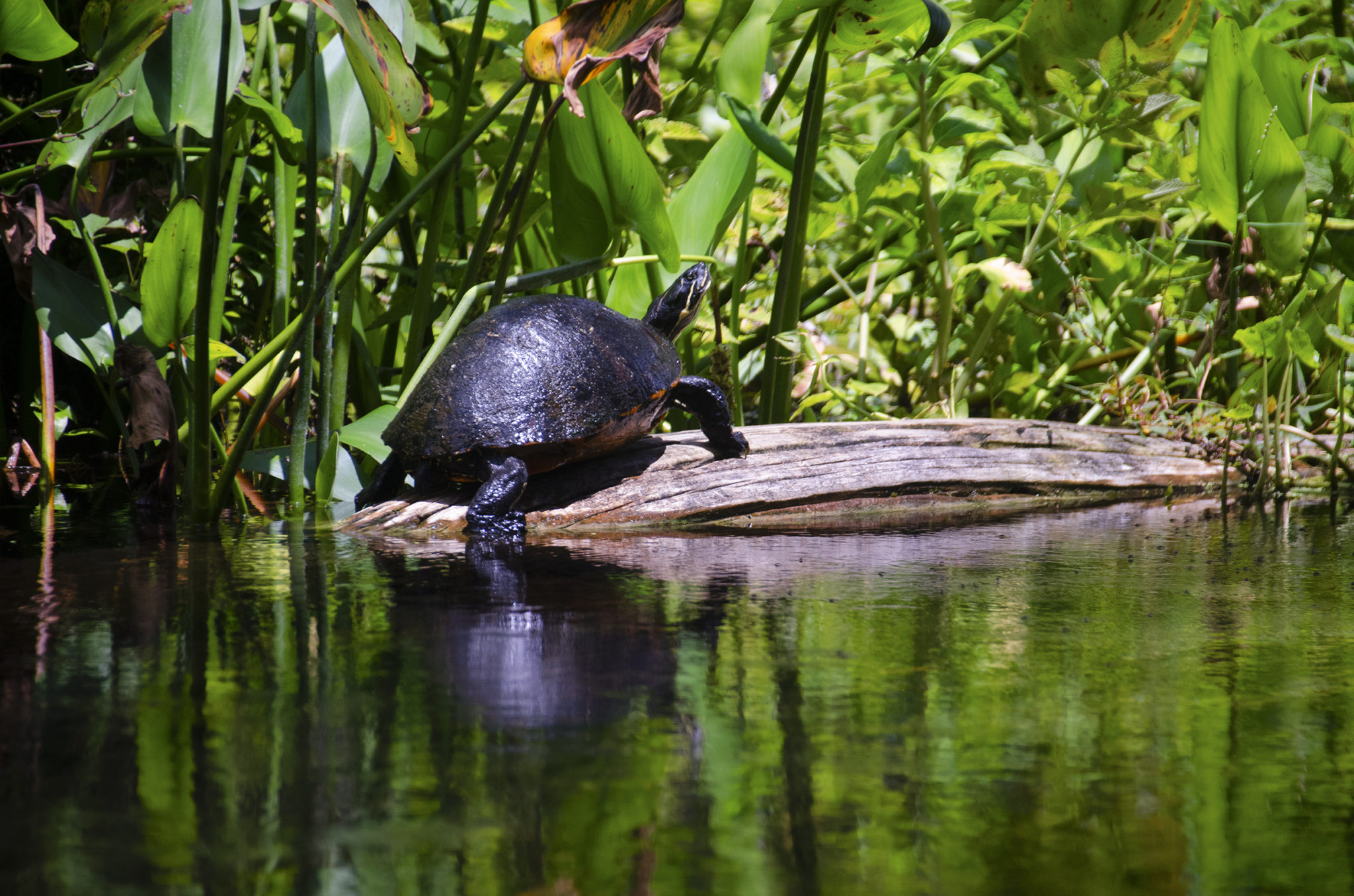
The wetlands and hammocks through which the slough flows, Gum Swamp and Half-Moon Wildlife Management Area, are characterized by numerous parallel, interlaced shallow streams, heavily canopied with Tupelo, Bald Cypress, Red Maples and Carolina Ash. Around 4 miles upstream, the canopy thins and makes way for a variety of familiar marsh and wetland vegetation to include Pickerel Weed, Cardinal Flower, Water Hyacinth, Duck Potato and assorted Lilies. There is no shortage of wildlife along the Slough. The familiar Herons, Egrets, Ibis, Owls, Gators, Turtles and Osprey are usually in abundance. The lower section is tannin colored, gradually clearing and becoming cooler the closer to the sources and main spring. The only public access to Gum Slough is by boat from the Withlacoochee River.
In 1539 Hernando De Soto came through Gum Swamp on his way to the Timucua village of Ocale. Spanish artifacts and Indian mounds have been located in this area. Gum Slough is a water designated worthy of special protection because of its natural attributes, and was designated an Outstanding Florida Water in 1989.
 Gum Slough Details:
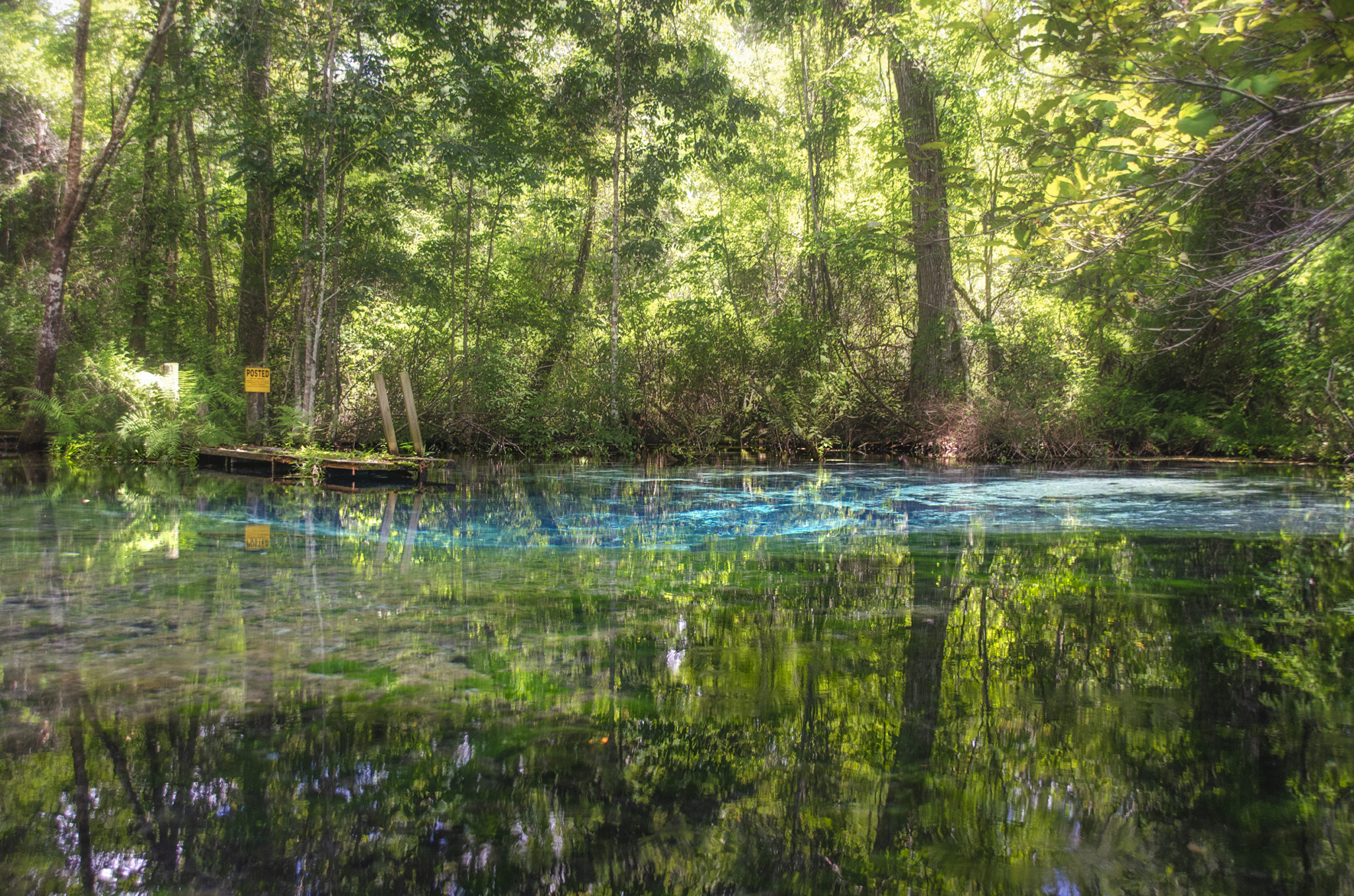
![]() Location: Gum Slough runs from Gum Spring Main ( 28°57’31.35”N, 82°13’53.49”W ), 5 miles Southwest where it flows into the Withlacoochee River. Approximately 10 miles Northeast of Inverness, Fl.
Location: Gum Slough runs from Gum Spring Main ( 28°57’31.35”N, 82°13’53.49”W ), 5 miles Southwest where it flows into the Withlacoochee River. Approximately 10 miles Northeast of Inverness, Fl.
![]() Launch Point and Take Out: The launch is located at Turner Camp Road Public Boat Ramp, 9460 East Turner Camp Road, Inverness, Fl 34450. This is a single lane, poured concrete ramp with staging docks. There are no restroom facilities at this launch.
Launch Point and Take Out: The launch is located at Turner Camp Road Public Boat Ramp, 9460 East Turner Camp Road, Inverness, Fl 34450. This is a single lane, poured concrete ramp with staging docks. There are no restroom facilities at this launch.
![]() Paddle Distance: Approximately 12 – 13 miles round trip.
Paddle Distance: Approximately 12 – 13 miles round trip.
![]() Difficulty: Intermediate.This is a long trip. 5 miles is against the current up the Slough, 1 mile is against the current on the way back on the Withlacoochee River. When the water is right, it will be a long paddle, but nice. The paddle can take anywhere from 6 – 8 hours depending on how many stops.
Difficulty: Intermediate.This is a long trip. 5 miles is against the current up the Slough, 1 mile is against the current on the way back on the Withlacoochee River. When the water is right, it will be a long paddle, but nice. The paddle can take anywhere from 6 – 8 hours depending on how many stops.
The difficulty encountered will depend on the water level and the paddler’s stamina. If there are a lot of portages it can be extremely tiring. Not a beginners paddle.
 Average Paddle Speed: From the launch to the main spring on Gum Slough we averaged 1.7 miles. This was against the current on the slough. On the way back, paddling with the slough current and against the Withlacoochee current we averaged 2.7 miles.
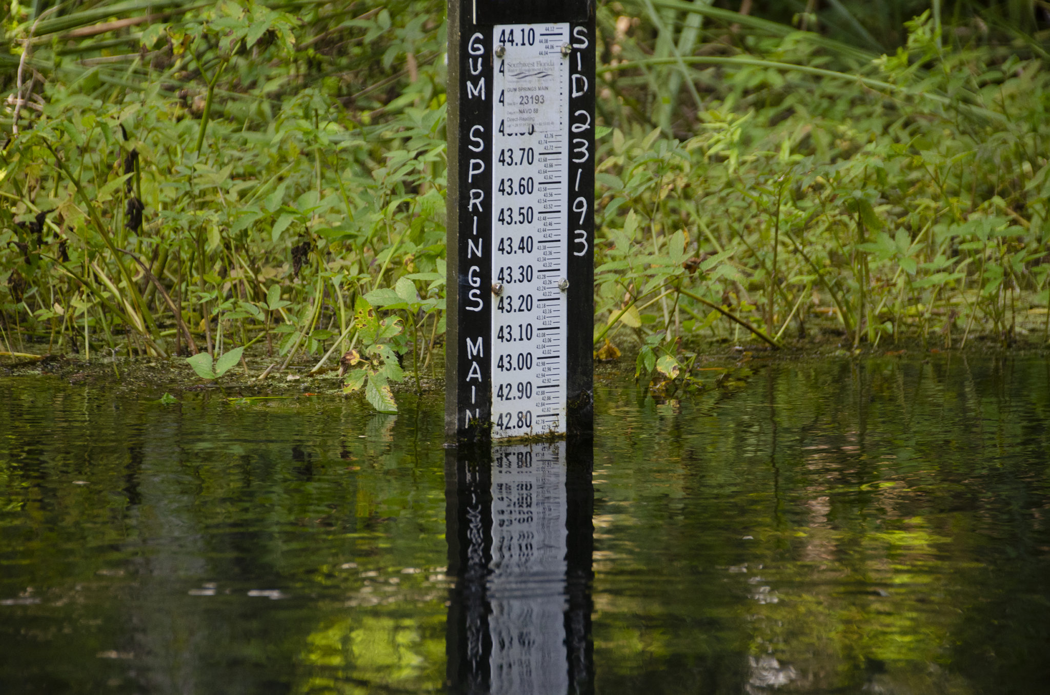
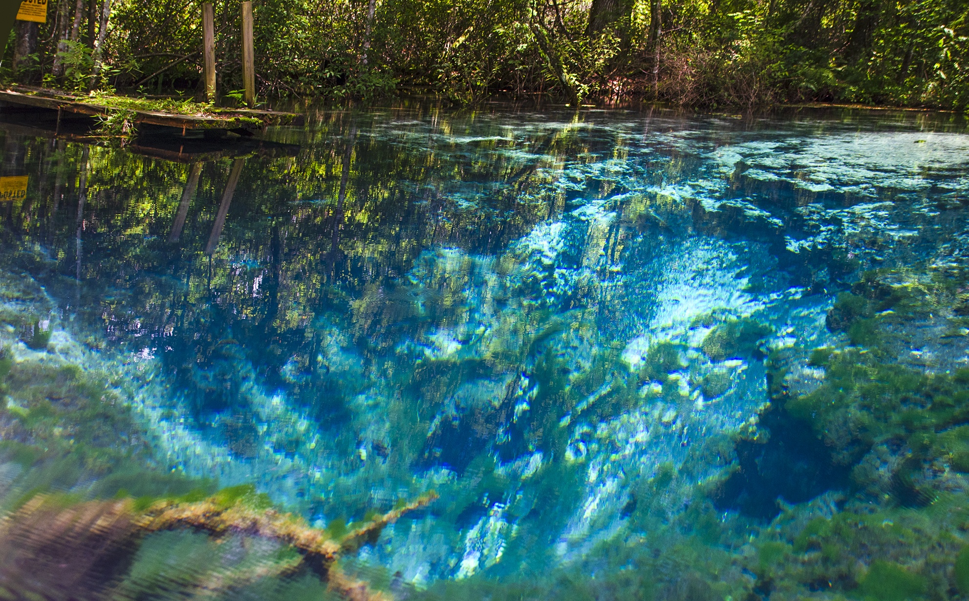
![]() Width and Depth: The Slough is shallow. It was 5′-6′ in some areas and 14″-16″ in the shallow areas in the upper section. The width was anywhere from 20′ to 60′ wide. On this paddle the depth was 42.75′ ( NAVD 1988) and a strong flow at 155 cfs. At this water level we did not have to get out of our kayaks but did have several trunks and branches to scoot over, though not much trouble. If the water level was just a foot lower we would have had numerous portages.
Width and Depth: The Slough is shallow. It was 5′-6′ in some areas and 14″-16″ in the shallow areas in the upper section. The width was anywhere from 20′ to 60′ wide. On this paddle the depth was 42.75′ ( NAVD 1988) and a strong flow at 155 cfs. At this water level we did not have to get out of our kayaks but did have several trunks and branches to scoot over, though not much trouble. If the water level was just a foot lower we would have had numerous portages.
![]() Current – Tidal: Moderately strong current, changing depending on the depth, downfall and curves. Not tidal.
Current – Tidal: Moderately strong current, changing depending on the depth, downfall and curves. Not tidal.
![]() Side Paddles: Alligator Spring – At mile 6.3 on the left is the entrance to Alligator Spring run. It is not obvious, so be sure to have coordinates and keep exploring, you will find it… 28°57’34.85″N, 82°13’55.33″W. The run is just under 1/4 mile long and well worth seeing Alligator Spring.
Side Paddles: Alligator Spring – At mile 6.3 on the left is the entrance to Alligator Spring run. It is not obvious, so be sure to have coordinates and keep exploring, you will find it… 28°57’34.85″N, 82°13’55.33″W. The run is just under 1/4 mile long and well worth seeing Alligator Spring.
![]() Rest Areas: There aren’t many areas for rest stops, aside from the one first entering the slough on the left and at Alligator Spring. Most of the property is posted. We rested in our yaks, as well as in the Gum Springs #1 run.
Rest Areas: There aren’t many areas for rest stops, aside from the one first entering the slough on the left and at Alligator Spring. Most of the property is posted. We rested in our yaks, as well as in the Gum Springs #1 run.
![]() Important Information: Even for those in shape, this paddle will have you tired by the time the 12 – 13 miles is over. As mentioned earlier, check the flow and water level before attempting this paddle. It will save you many portages in a soft muddy-bottomed slough. Also if the water levels are perhaps in the 45 and higher levels, finding your way may be a problem in this interlaced maze of streams! Also, inside the canopy, almost the 1st 4 miles, the mosquitos are obvious if you have to stop for a break!
Important Information: Even for those in shape, this paddle will have you tired by the time the 12 – 13 miles is over. As mentioned earlier, check the flow and water level before attempting this paddle. It will save you many portages in a soft muddy-bottomed slough. Also if the water levels are perhaps in the 45 and higher levels, finding your way may be a problem in this interlaced maze of streams! Also, inside the canopy, almost the 1st 4 miles, the mosquitos are obvious if you have to stop for a break!
The Gum Slough Paddle Route…
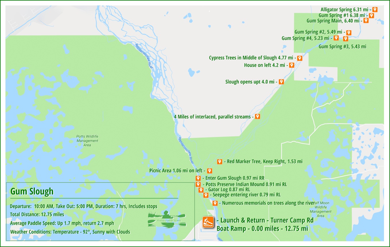
Launch on The Withlacoochee River…
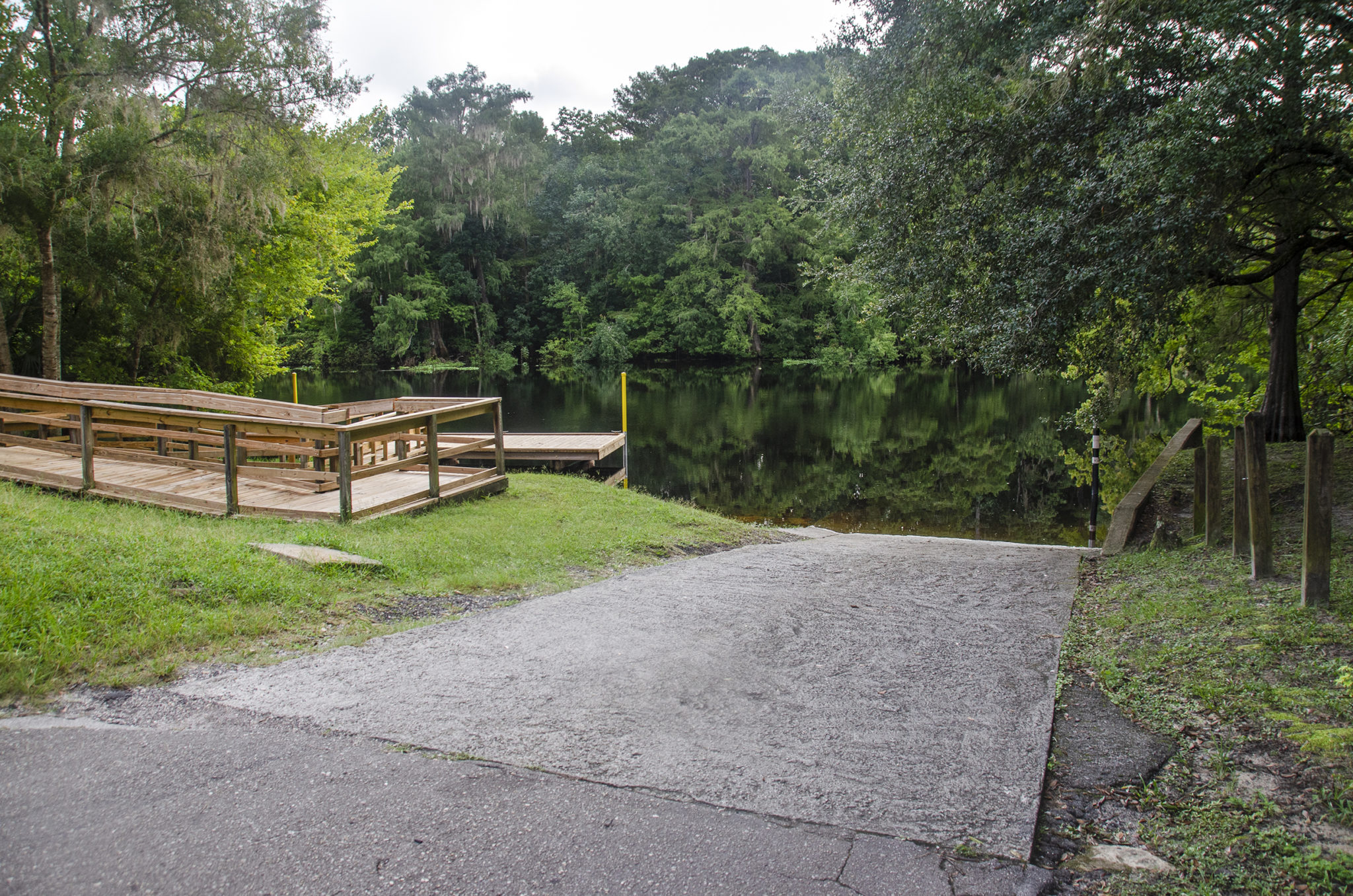
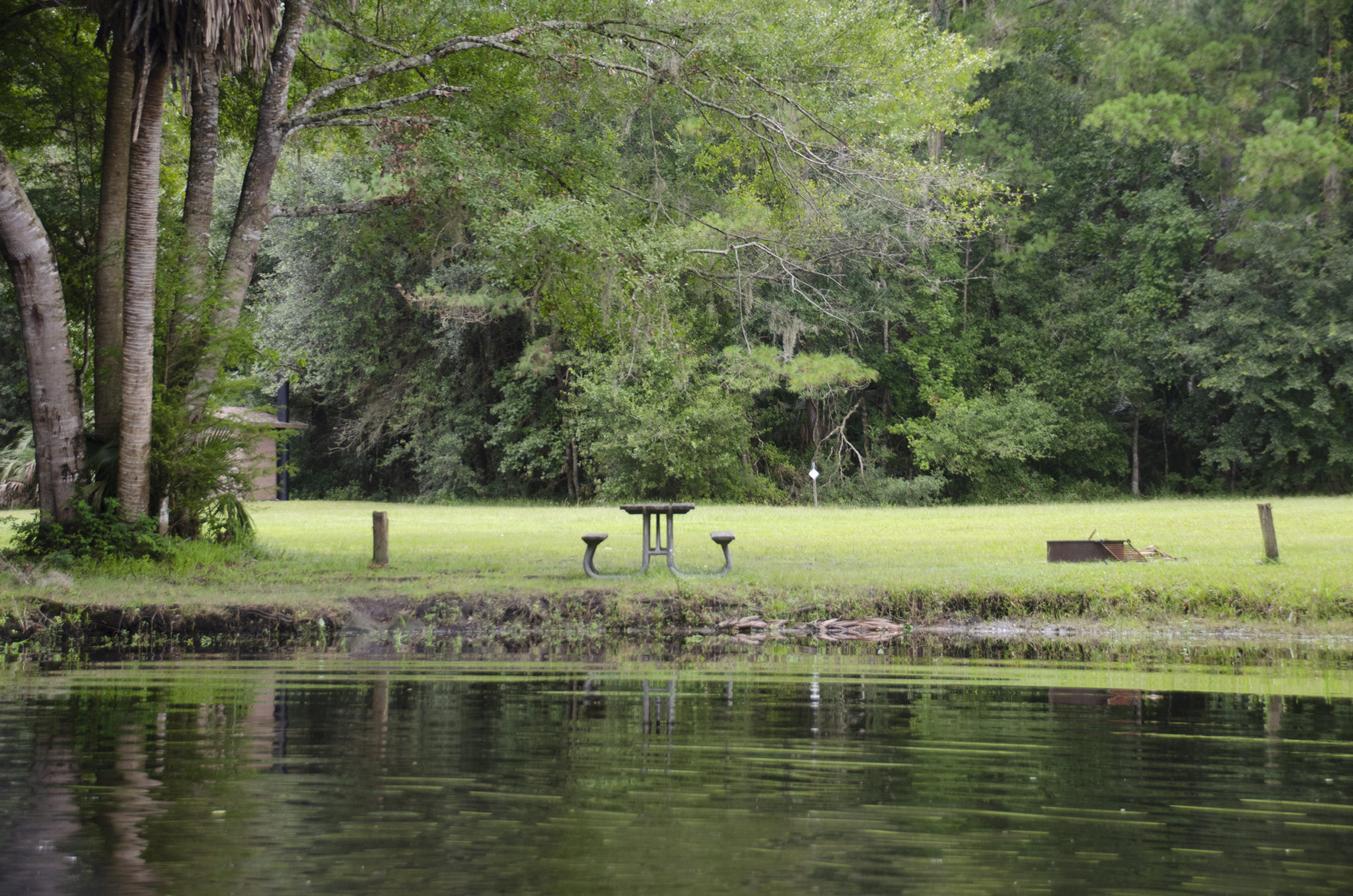
The launch is at the end of E Turner Camp Road. It is nice, concrete and does have a dock for staging. There are no restroom facilities here.
The air was still and the morning low clouds were still overhead. The Withlacoochee River was quite glassy as we made our way down river 1 mile to the confluence of Gum Slough.
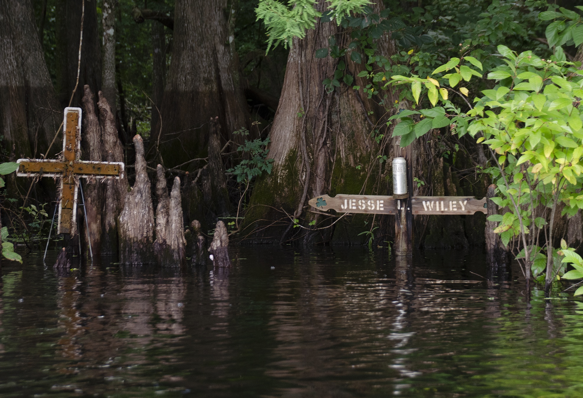
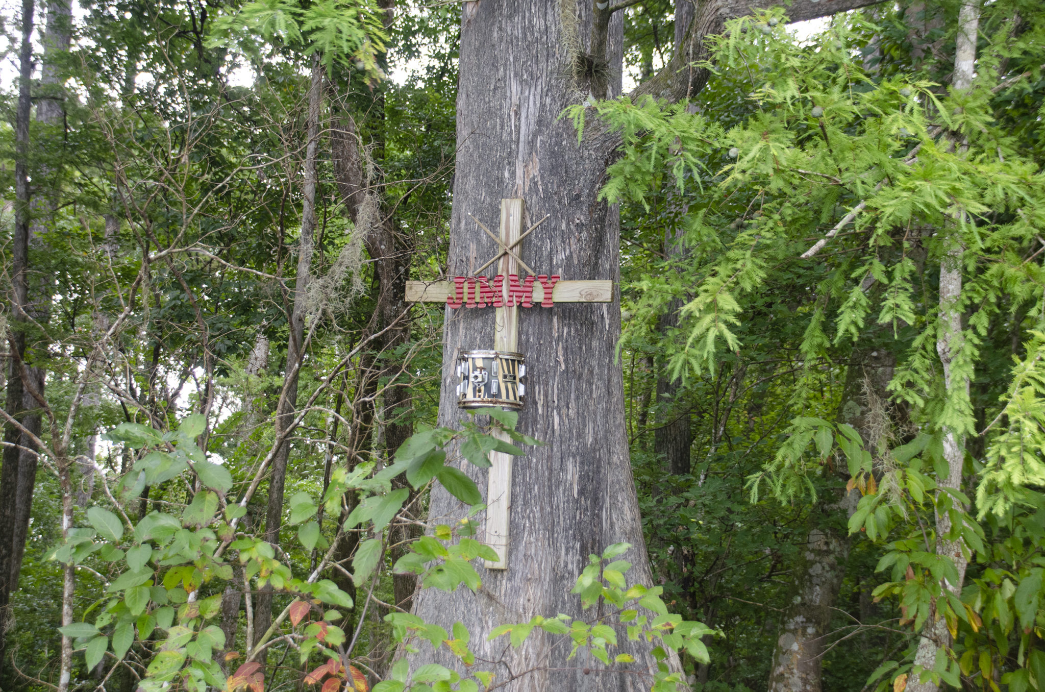
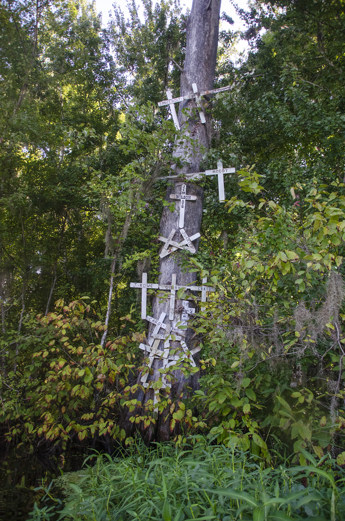
What is well known on this section of the Withlcoochee are the several points of interest along the way. Numerous ‘memorials’, to those killed in boating accidents along this section, are nailed in the trees. At mile 0.87 is the well known ‘Gator Tree’ and across from the entrance to the Slough is Potts Preserve and an Indian Mound.


Enter Gum Slough…
The entrance to Gum Slough is unassuming, 1 mile down river from the launch on river right. In passing the Potts Preserve area on the left, it is immediately present.
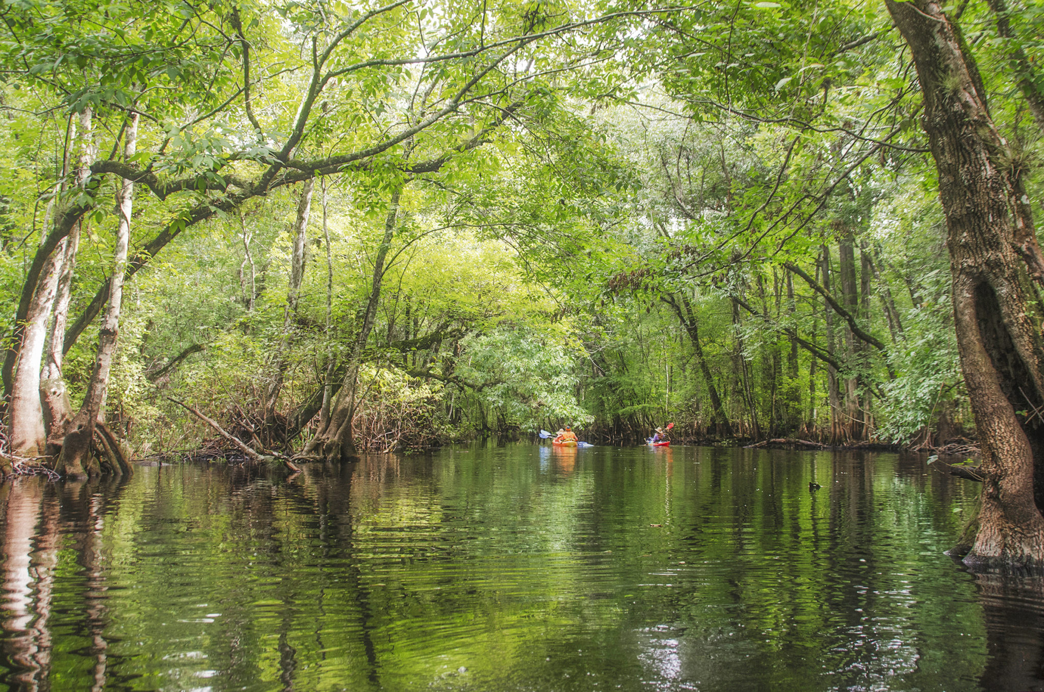
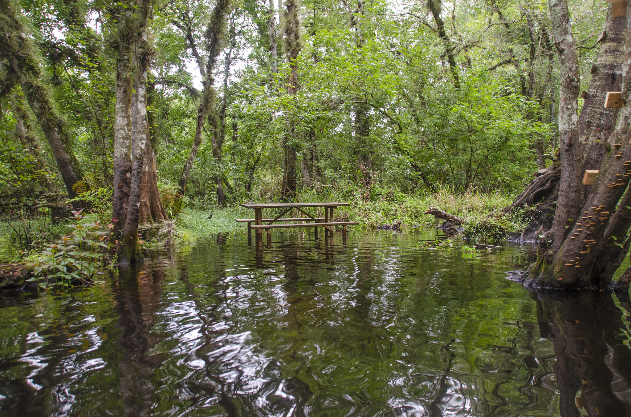
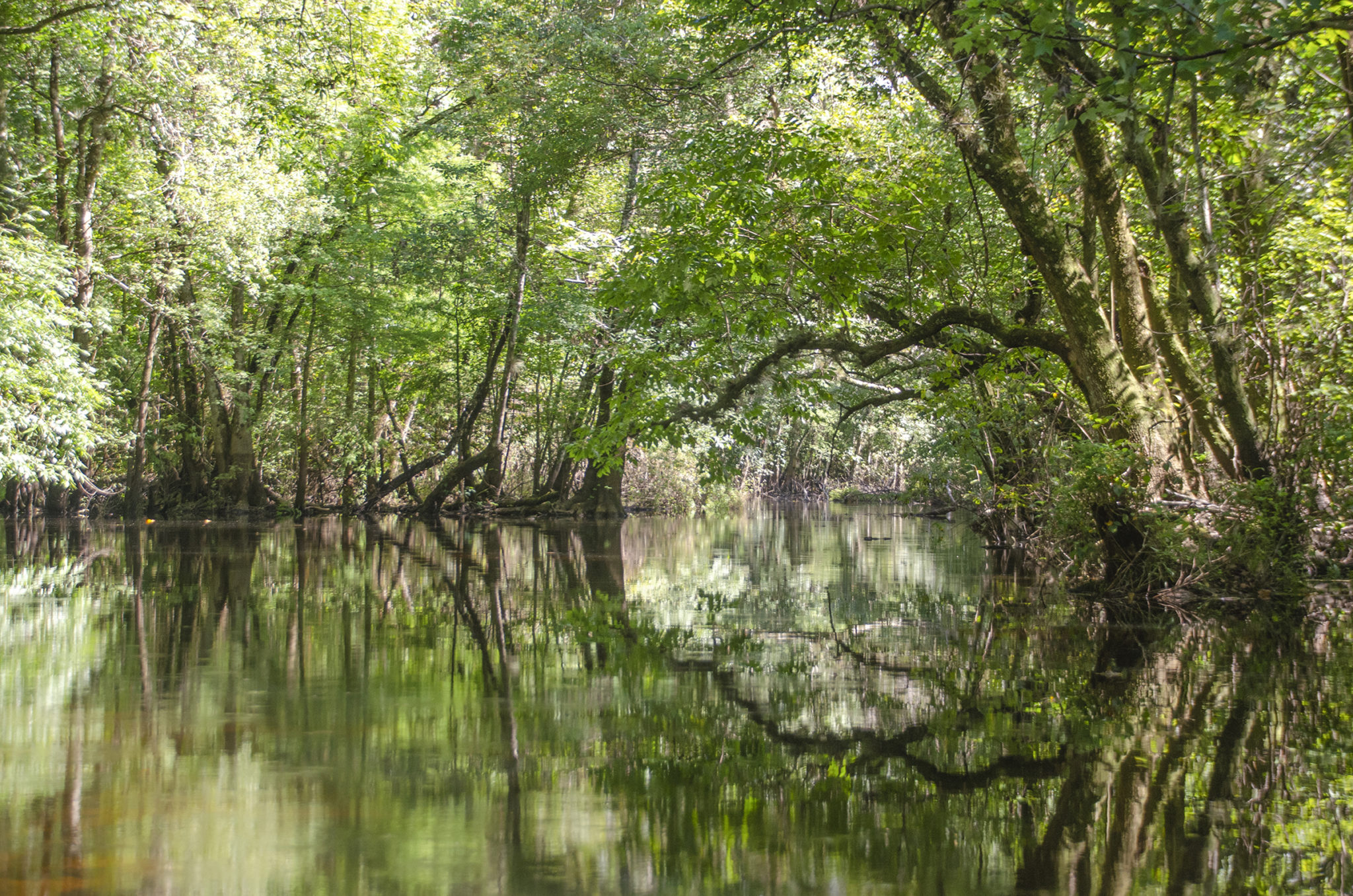
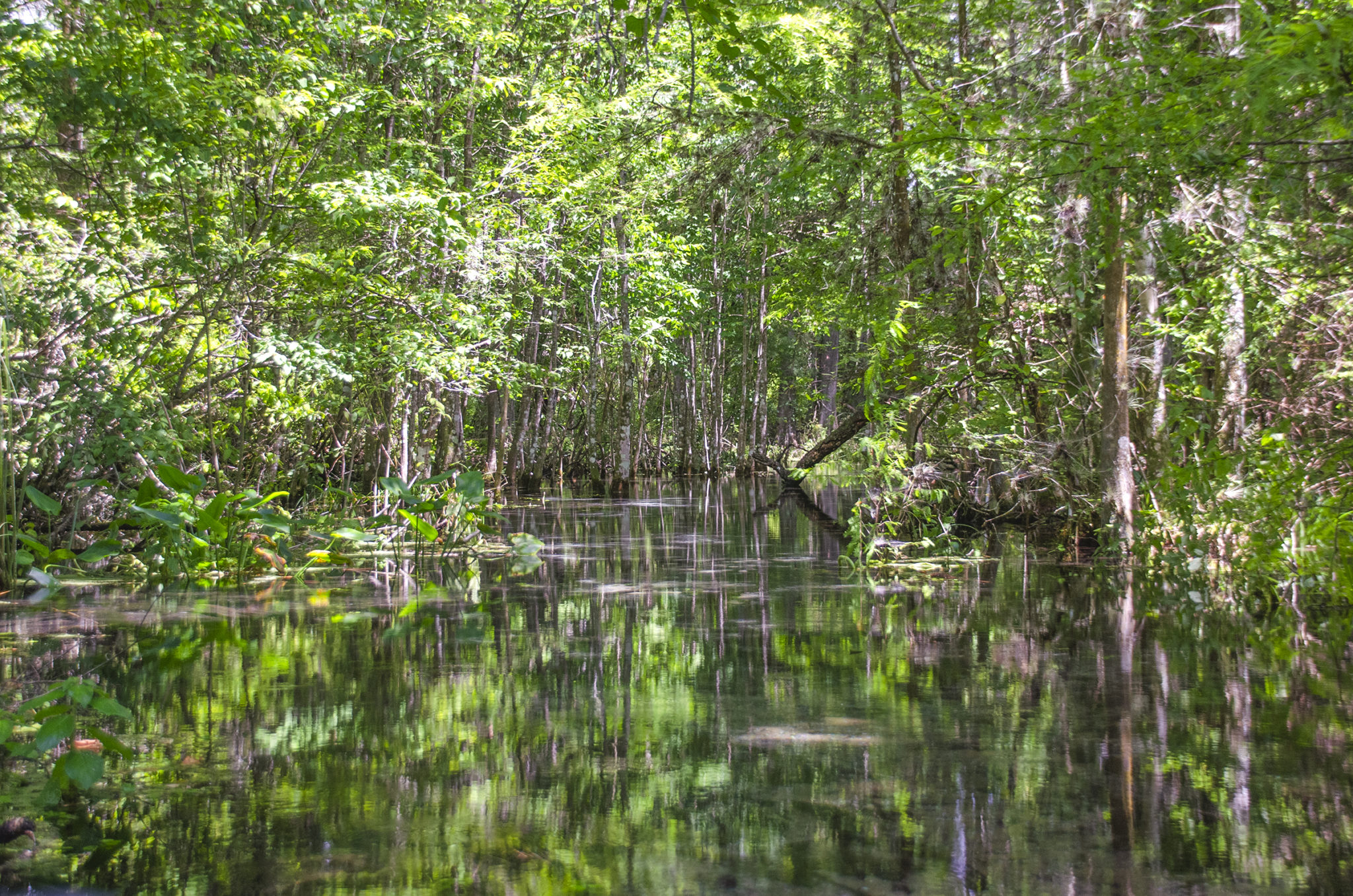
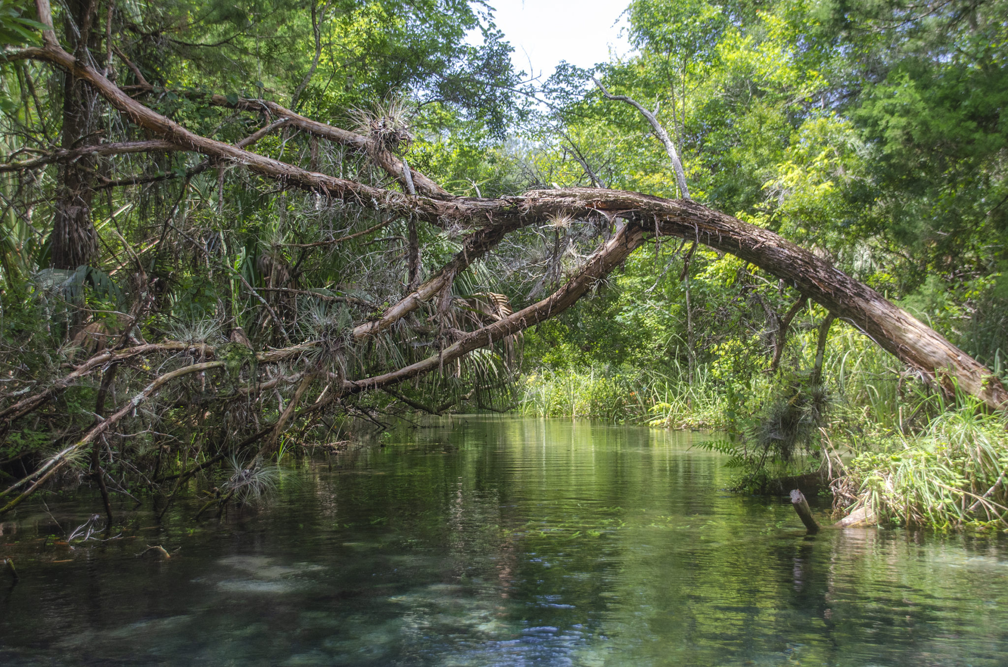
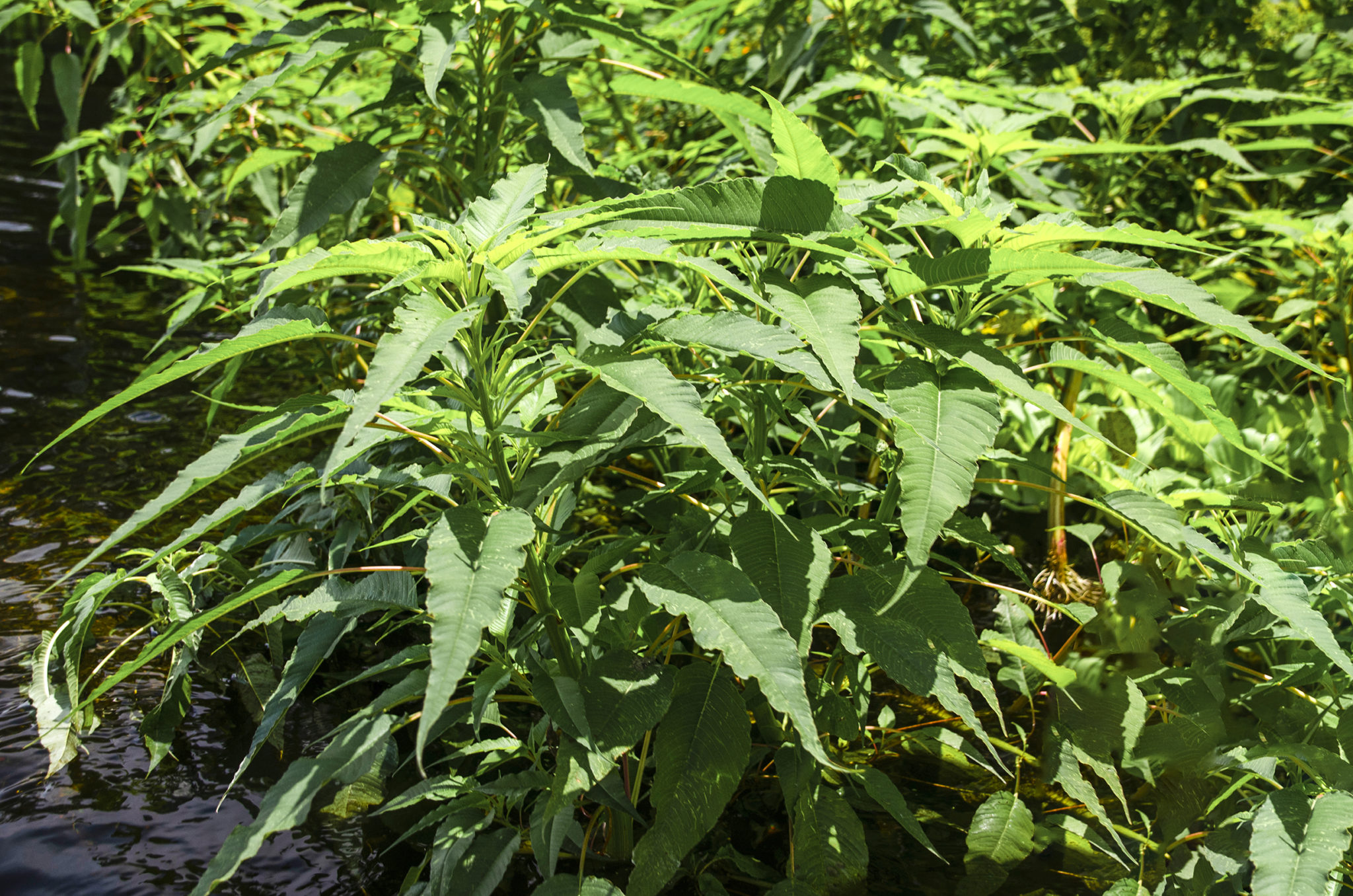
We entered with adventure in mind and thus, the adventure began. Immediately we are immersed in a dense canopy of Red Maple, Carolina Ash and numerous Tupelo Gum trees ( Nyssa ssp ), with their characteristic swollen bases. These are the ‘Gum’ trees the slough and swamp are named for, not the typical Sweet Gum – Liquidambar styraciflua. 250′ into the slough there is a picnic area on the left, however the water level was high and negated it’s use.
An interlaced maize of streams…
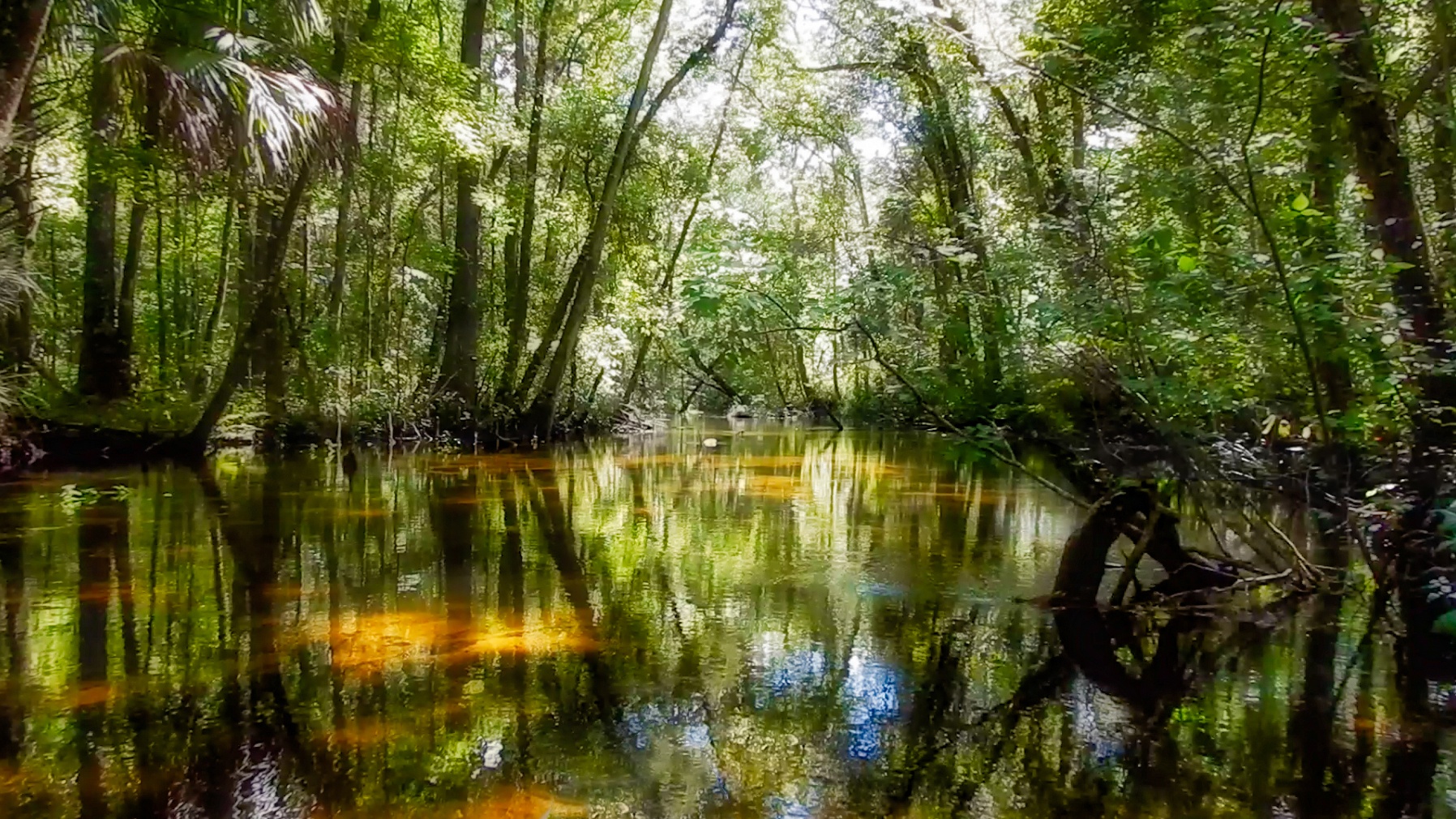
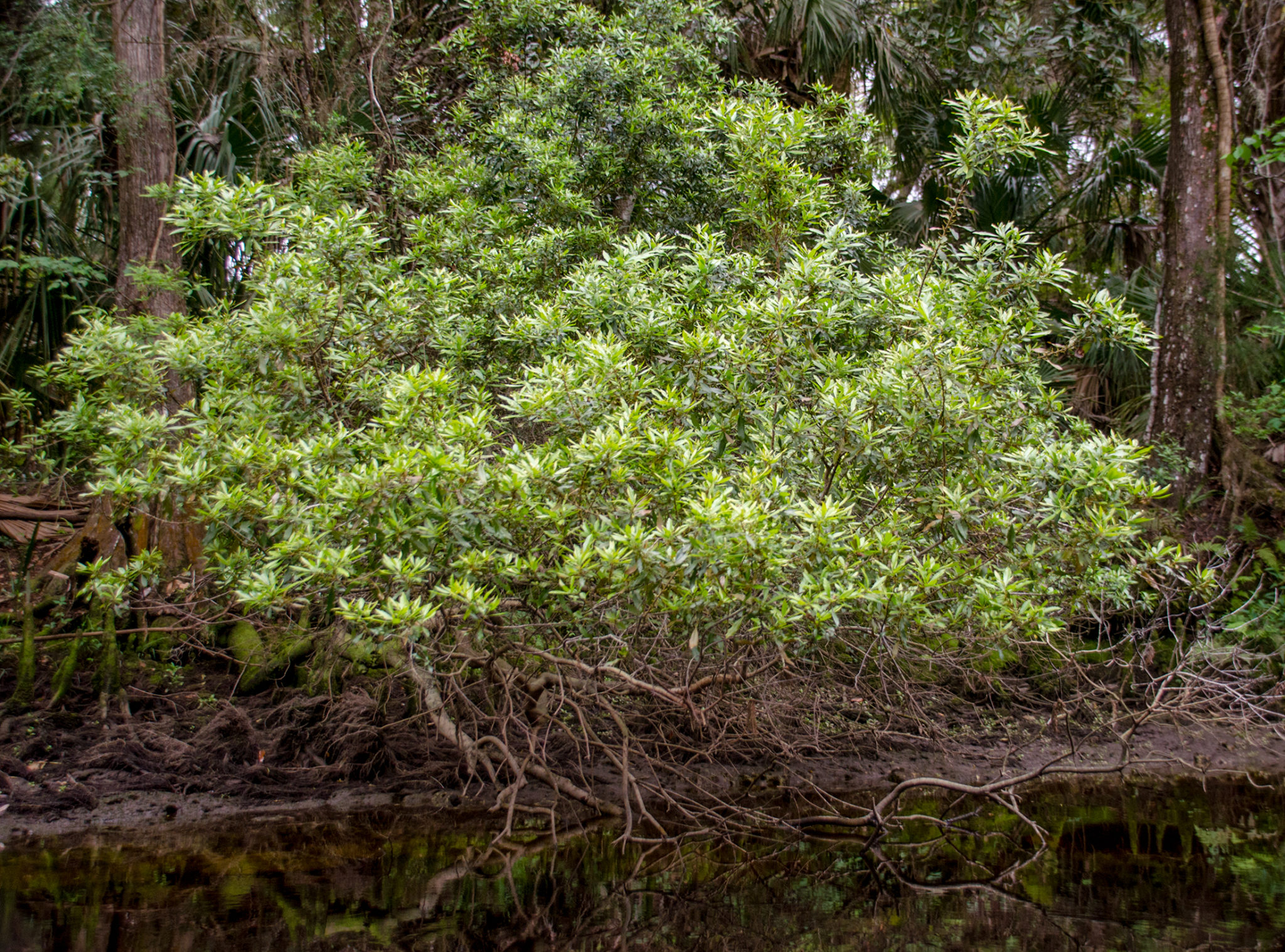
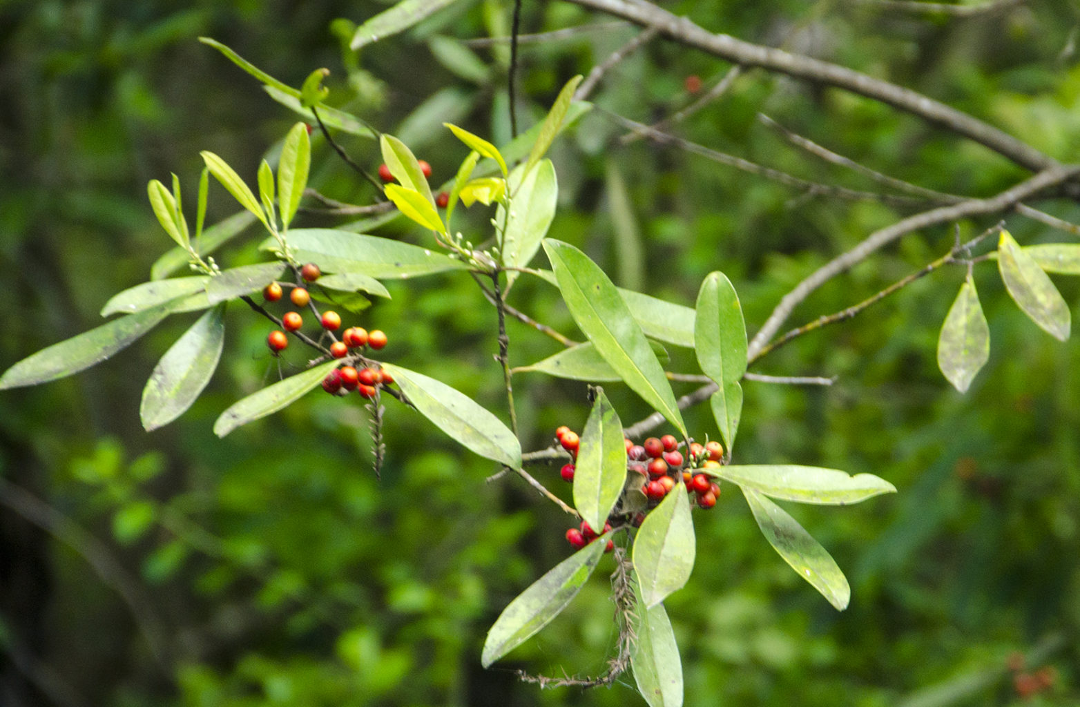
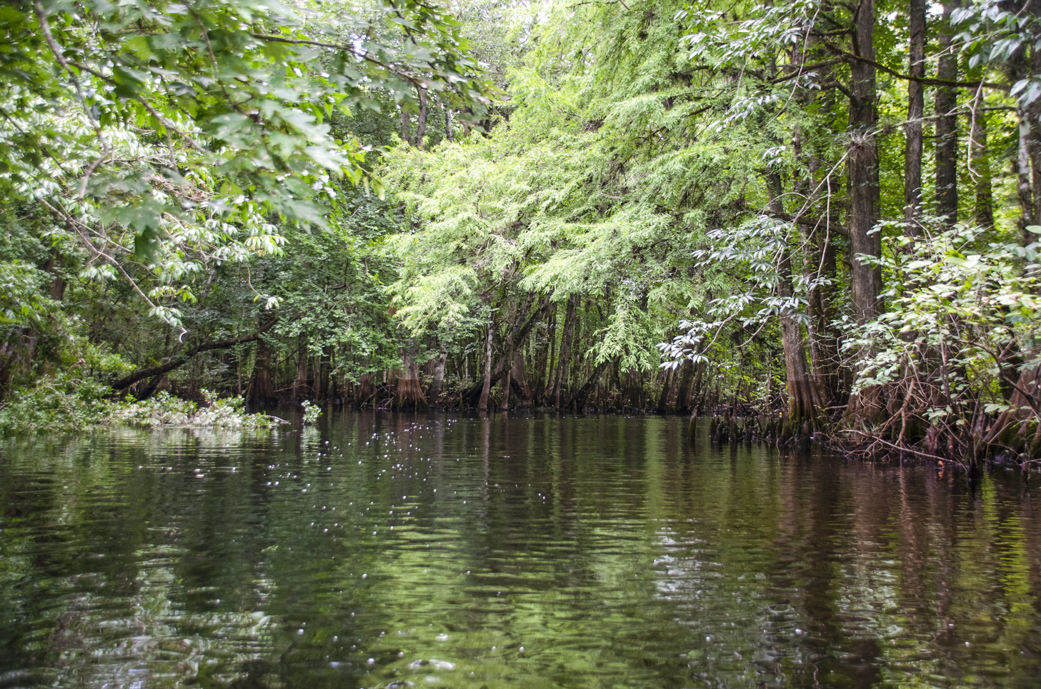
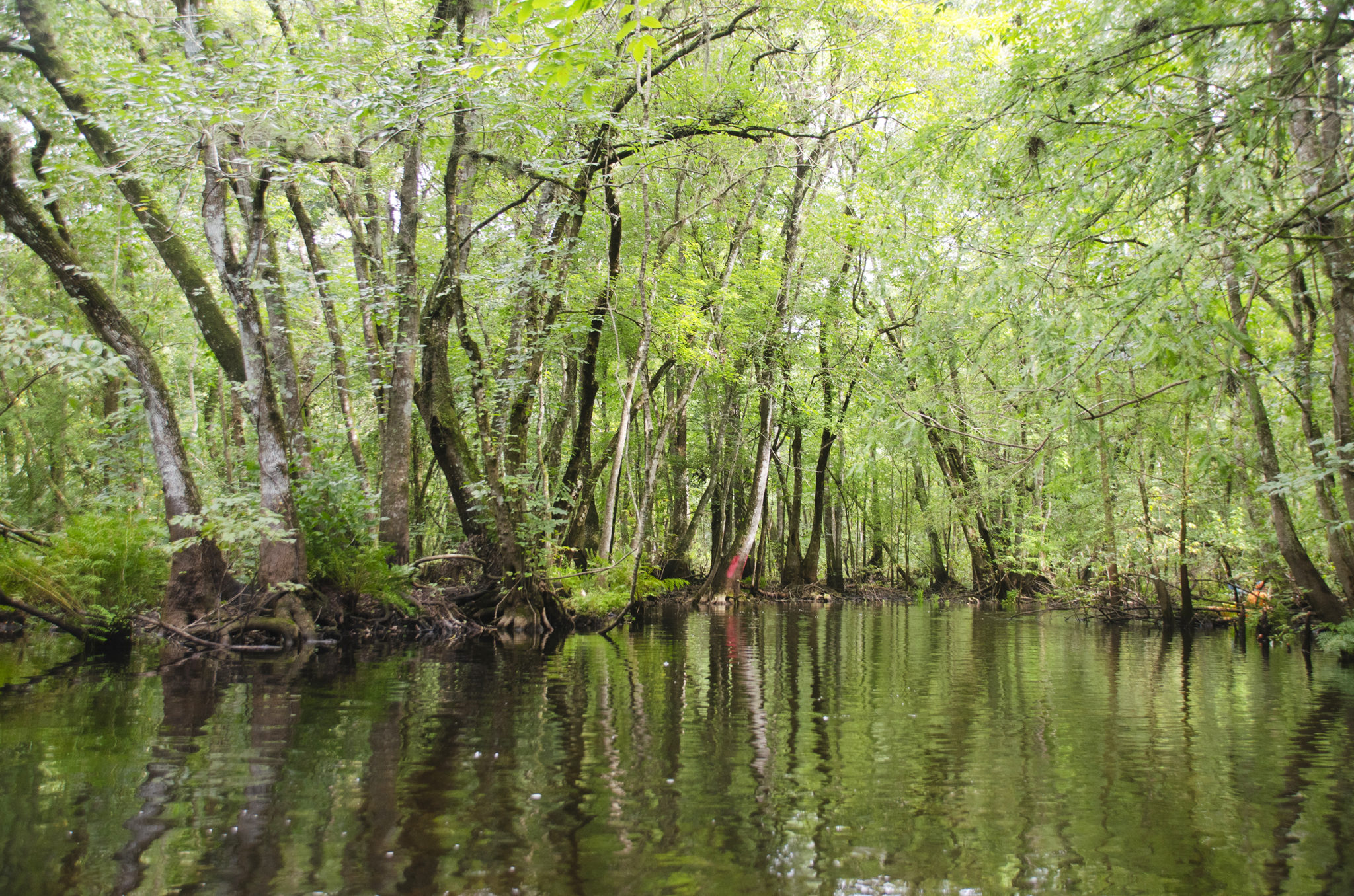
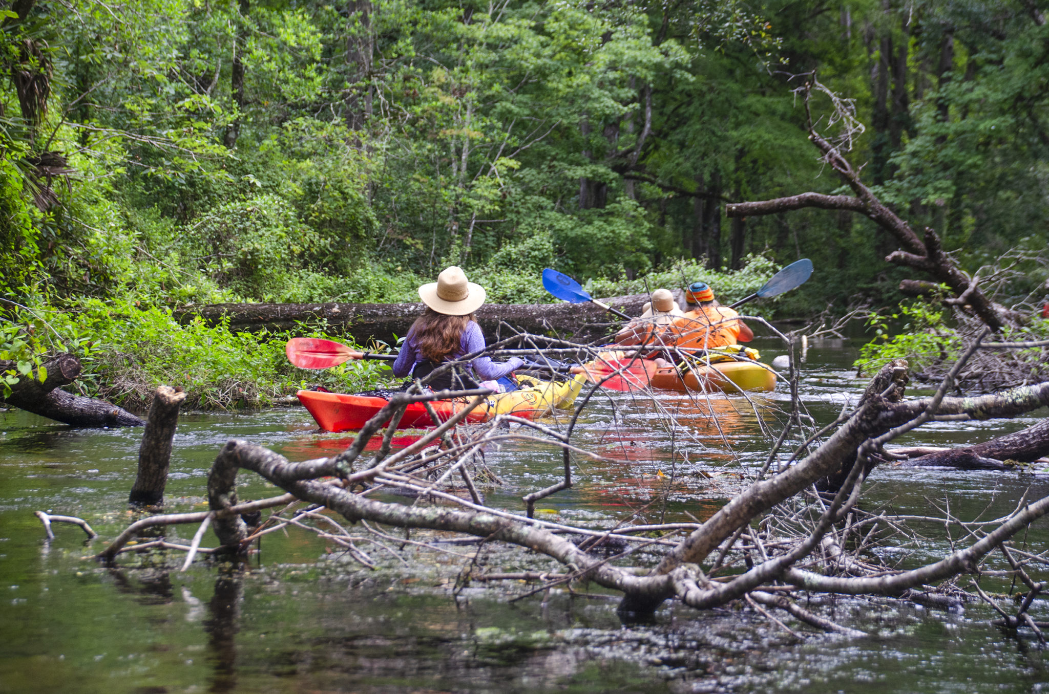
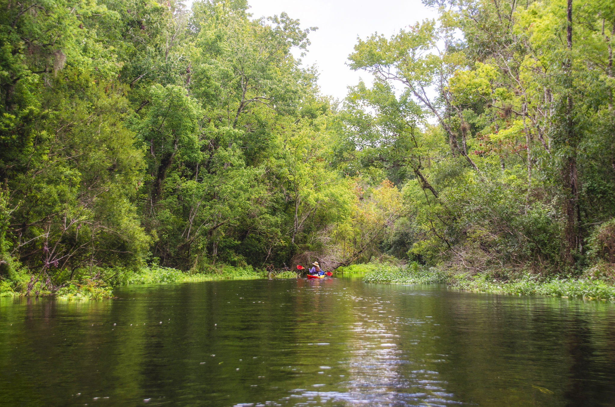
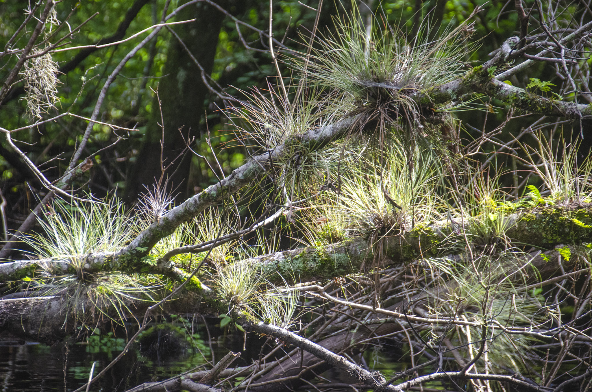
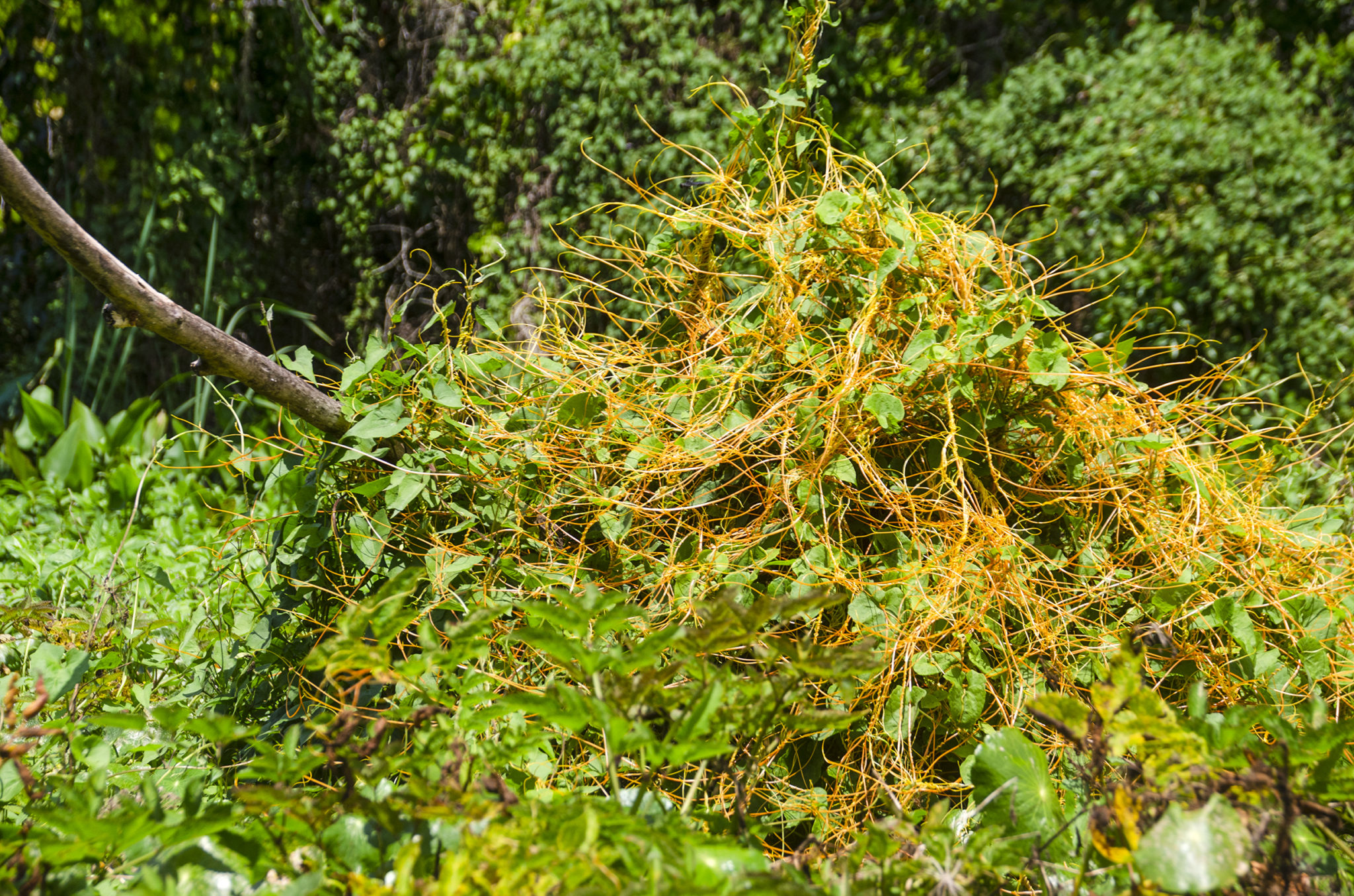
It is in this first 4 miles of the Slough that it is wise to have some idea of the paddle route before hand. Here is a maze of interlaced streams, that, in higher water, would be hard to define the route. Today however, the water level was perfect and for the most part, it was evident which direction we should be going. Also in this four mile section, there are several trees marked with red paint that helped determine we were on the right track. Into mile #2, there is a predominance of Wax Myrtle, Dahoon Holly and Swamp Dogwood along the shorelines.
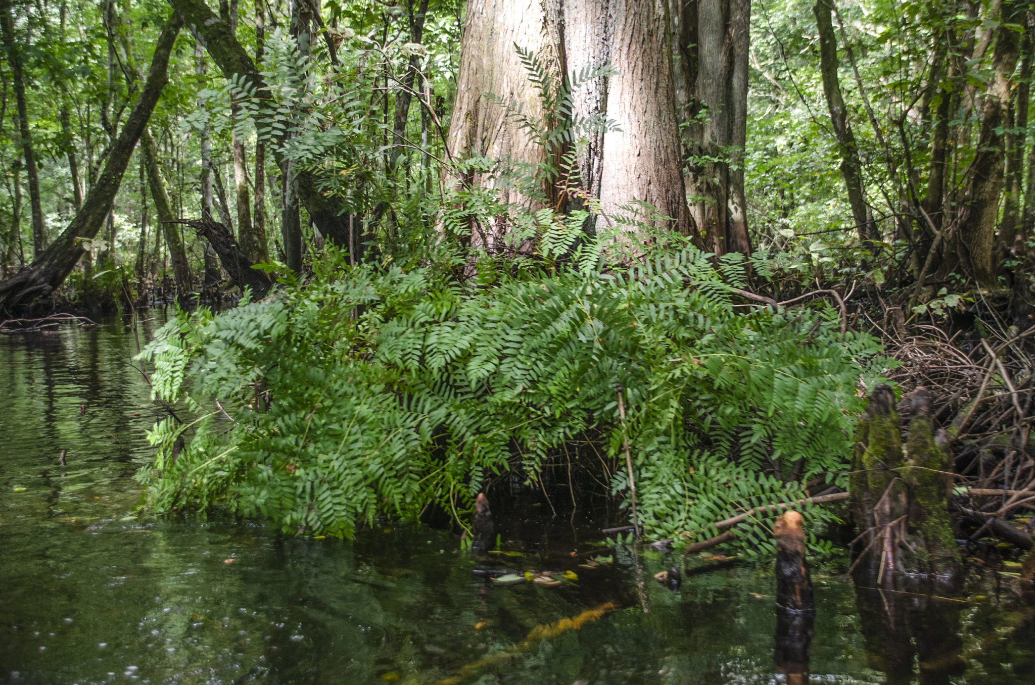
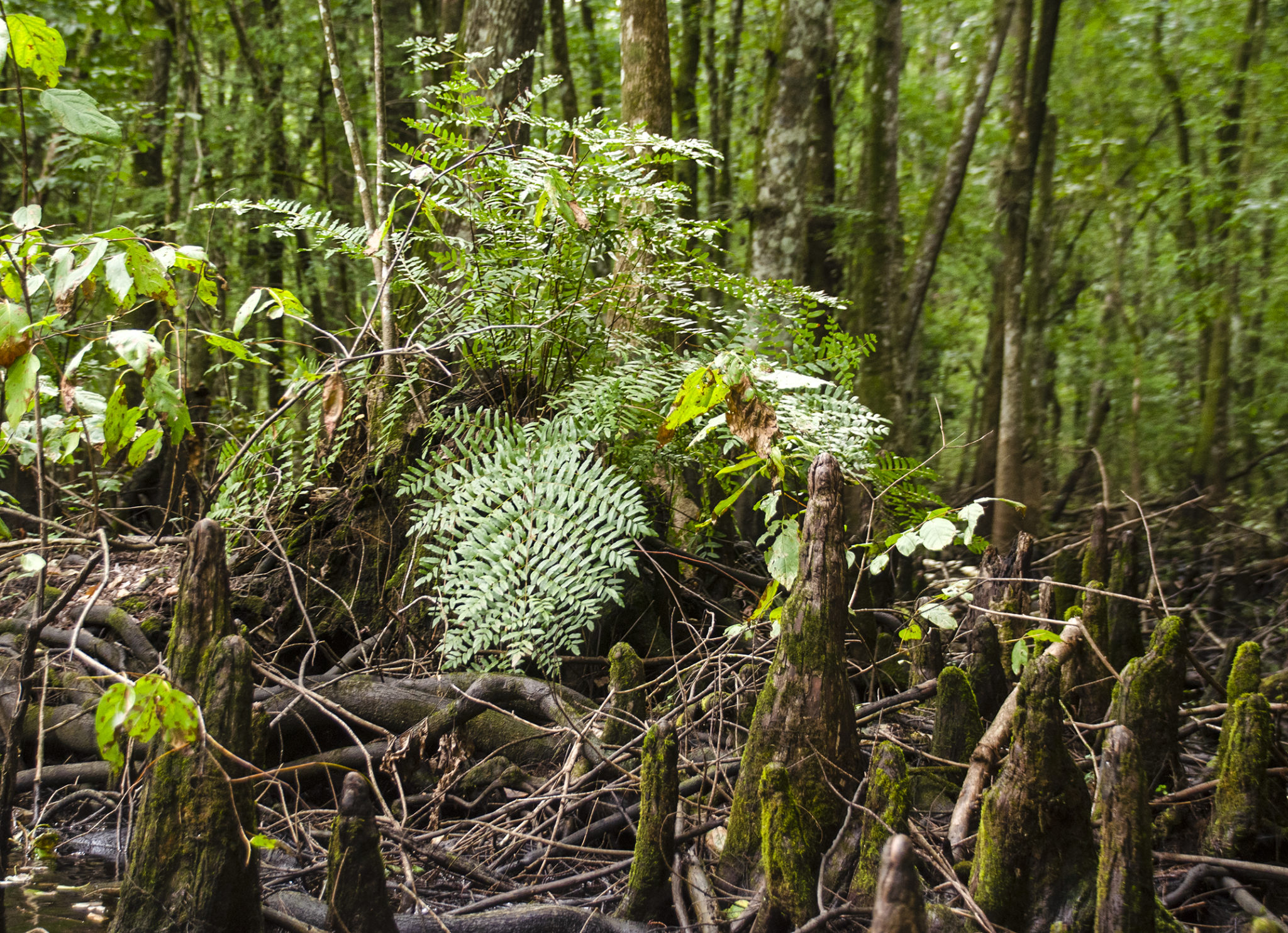
The water depth varies from a couple of feet to several feet, is the familiar tea color of tannin, and there is an obvious current. In areas of downfall, which there were many, the current was brisk but not overwhelming as we paddled ‘up-slough’. The sunlight overhead would lighten the tannin water as we paddled past an assortment of ferns and downfall under the dense canopy. Downfall was everywhere and fortunately, with the water level, most remained 1′ below the surface! We never had to exit the kayaks.
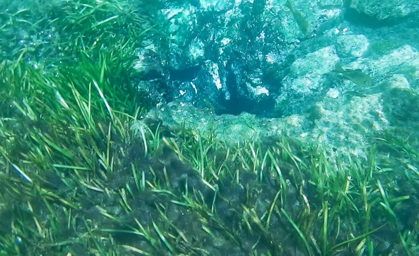
Upper Gum Slough…
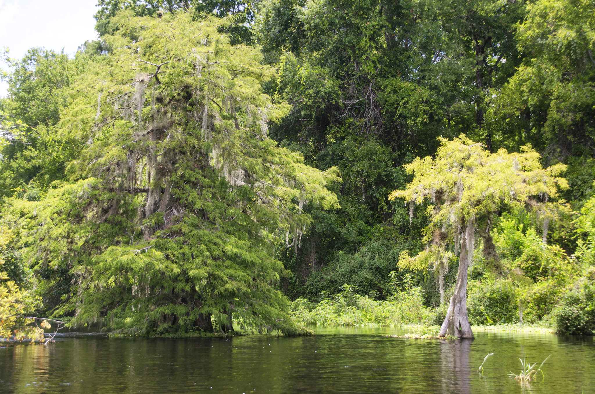
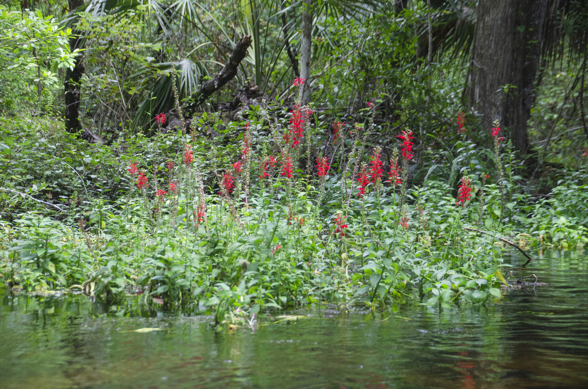
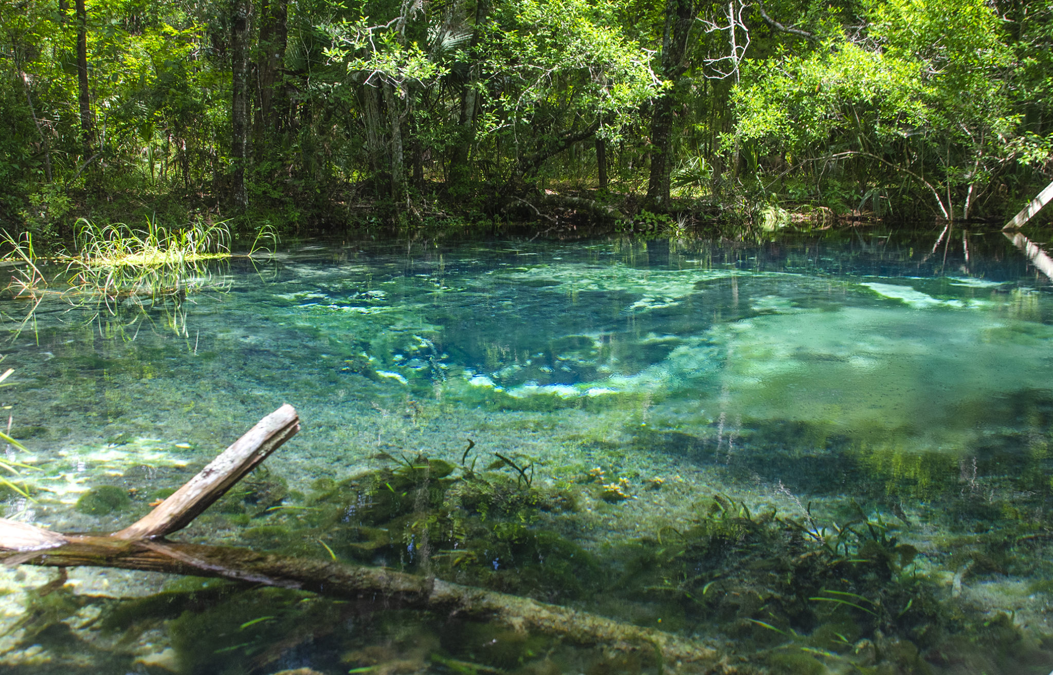
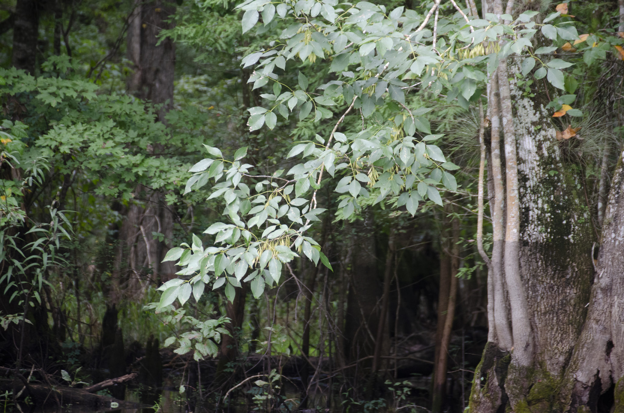
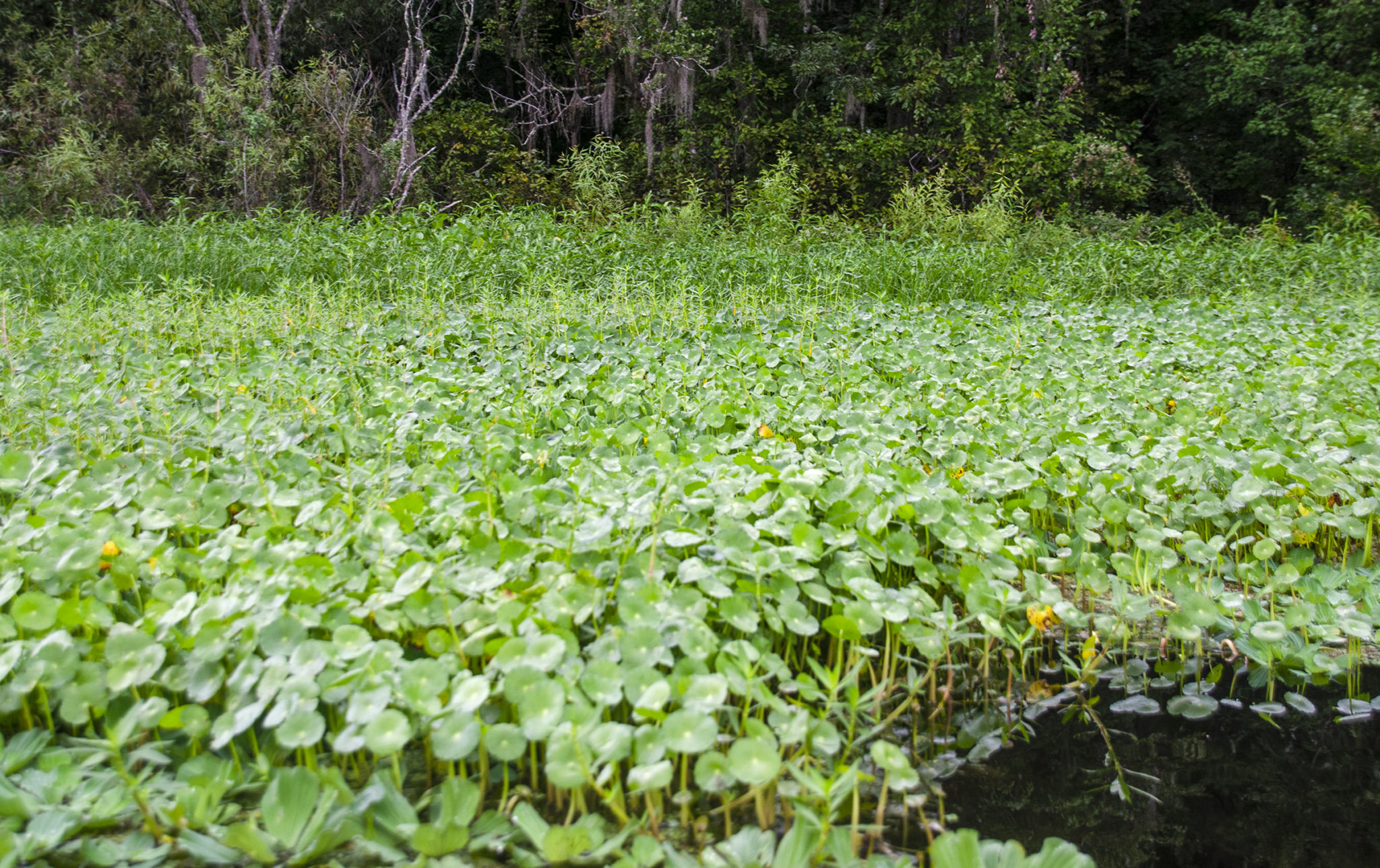
At mile 4.0 we exit the dense canopy into the upper section of the Slough. Here it is sunny, much warmer and the slough is 40′ – 50′ wide. More Cypress trees are noticeable, the shorelines are becoming crowded with aquatic plants and grasses that include Water Hyacinth, Pennywort, Hemlock, Duck Potato, Cattails and Water Lettuce. To brighten things up, Cardinal Flower was in full bloom throughout this section and was beautiful.
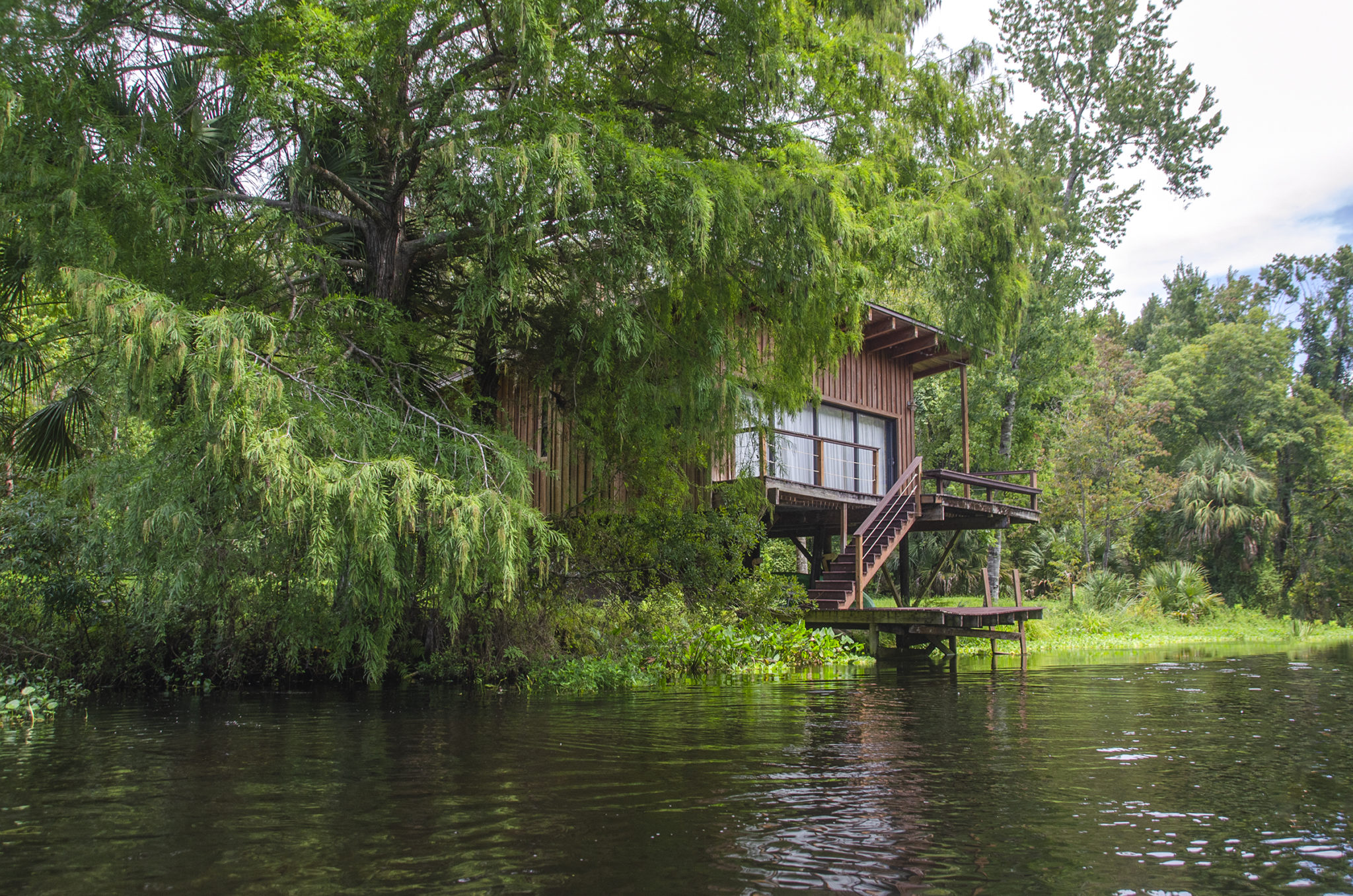
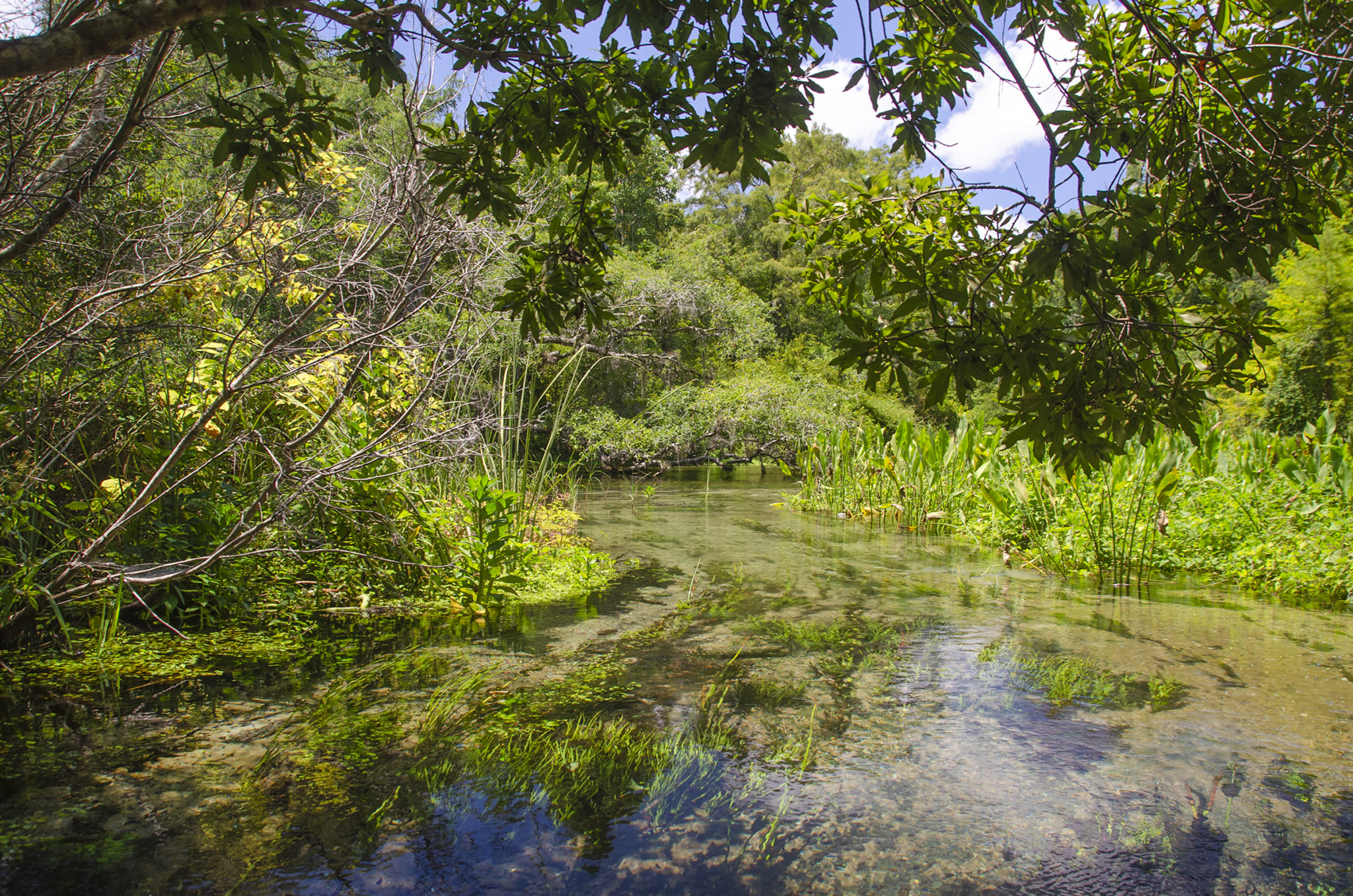
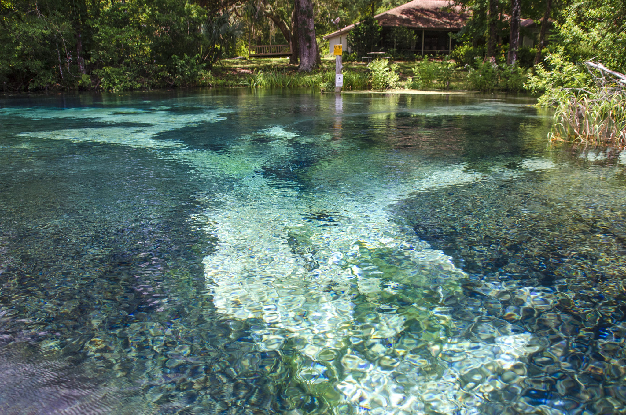
There is a lone house on the left, the only sign of civilization so far. Here the water was about 6′ deep and getting more clear and cooler. The slough continues to widen, we paddle by 2 Cypress trees in the middle of the slew and basically keep to the right of several islands. The flow is good and the paddle is not that tough.
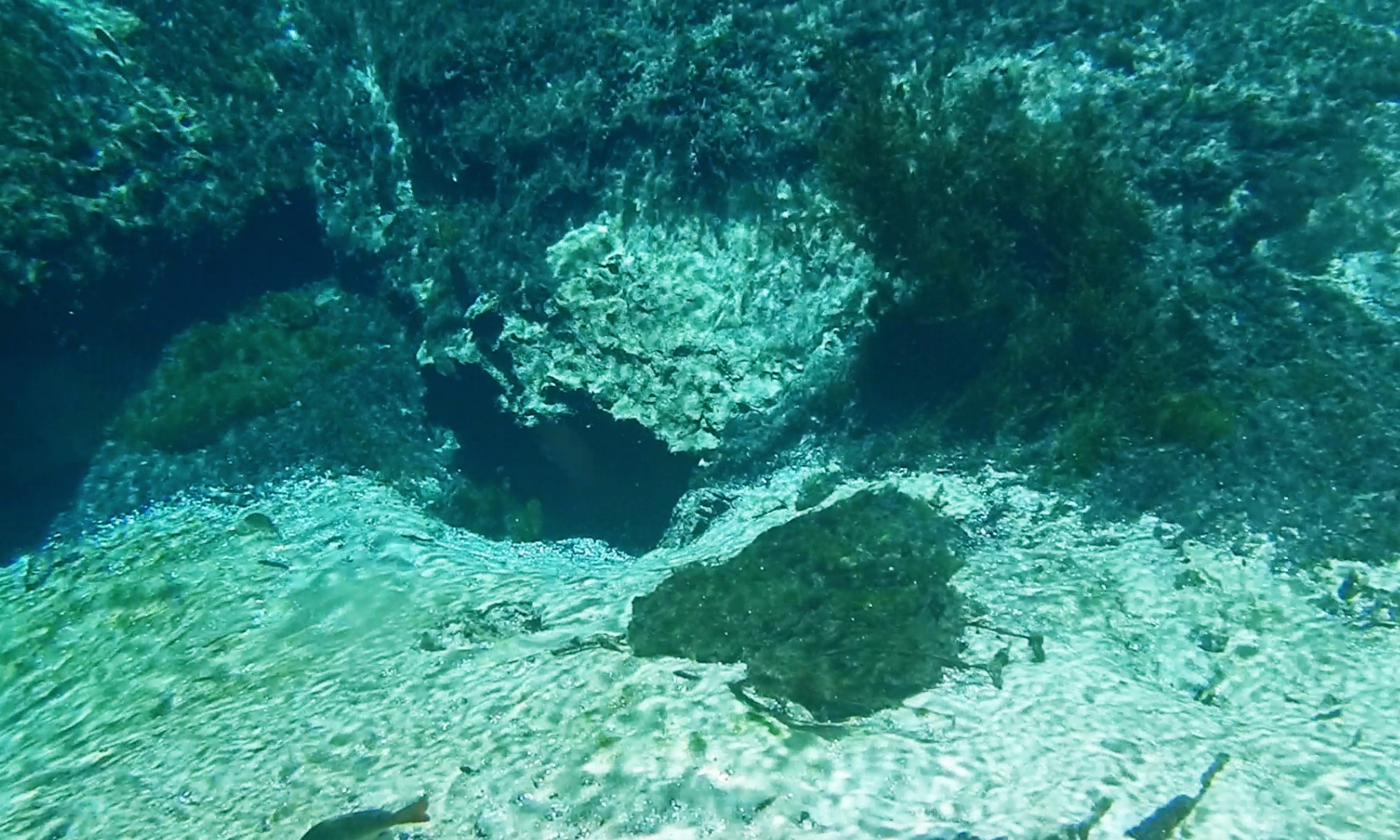
The Gum Springs…
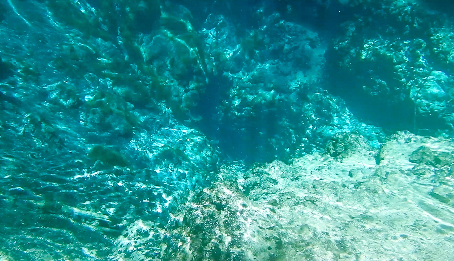
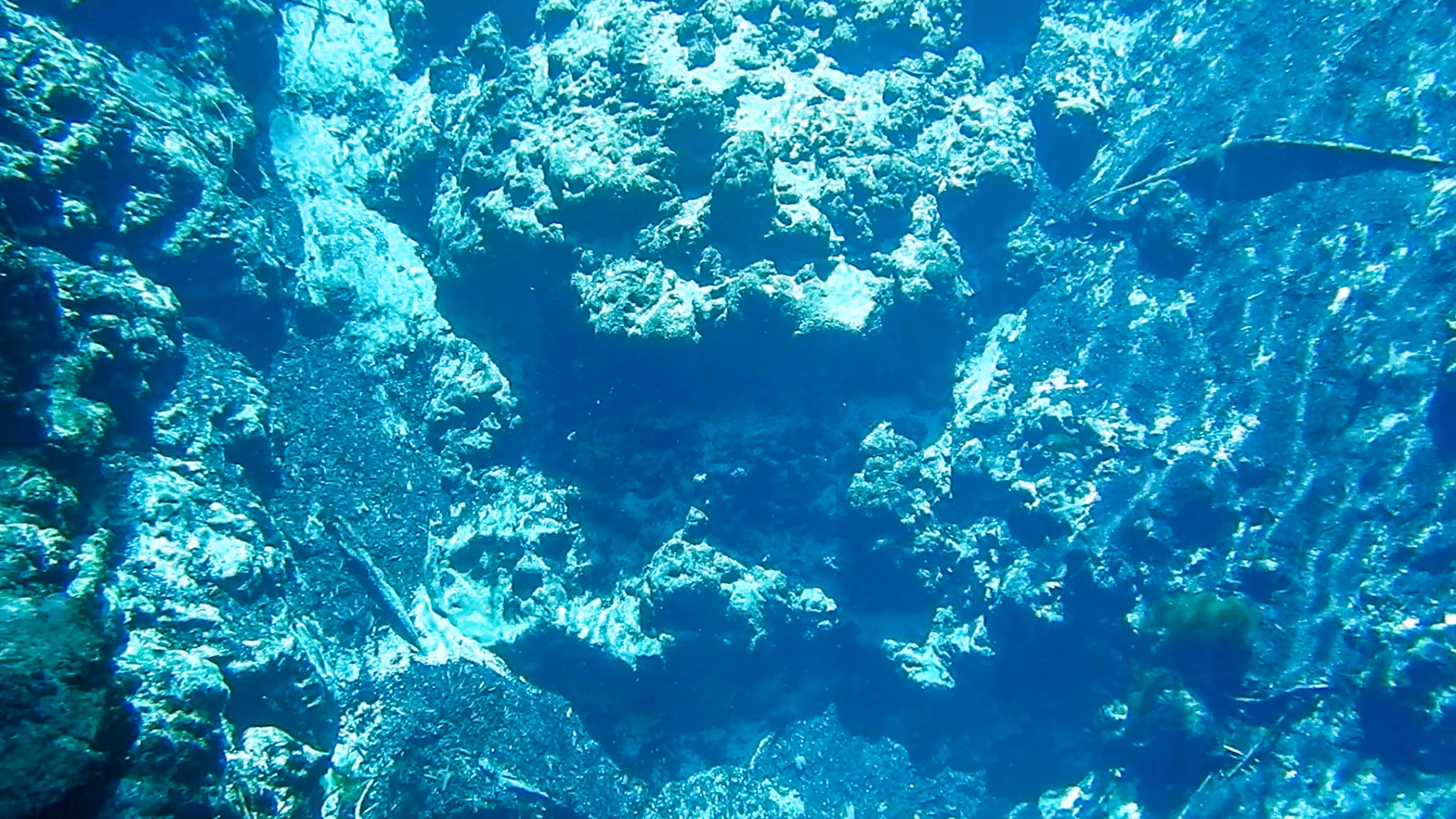
The remaining mile of Gum Slough is where several springs are located, Gum Springs #1 – #4, Alligator Spring and Gum Spring Main.
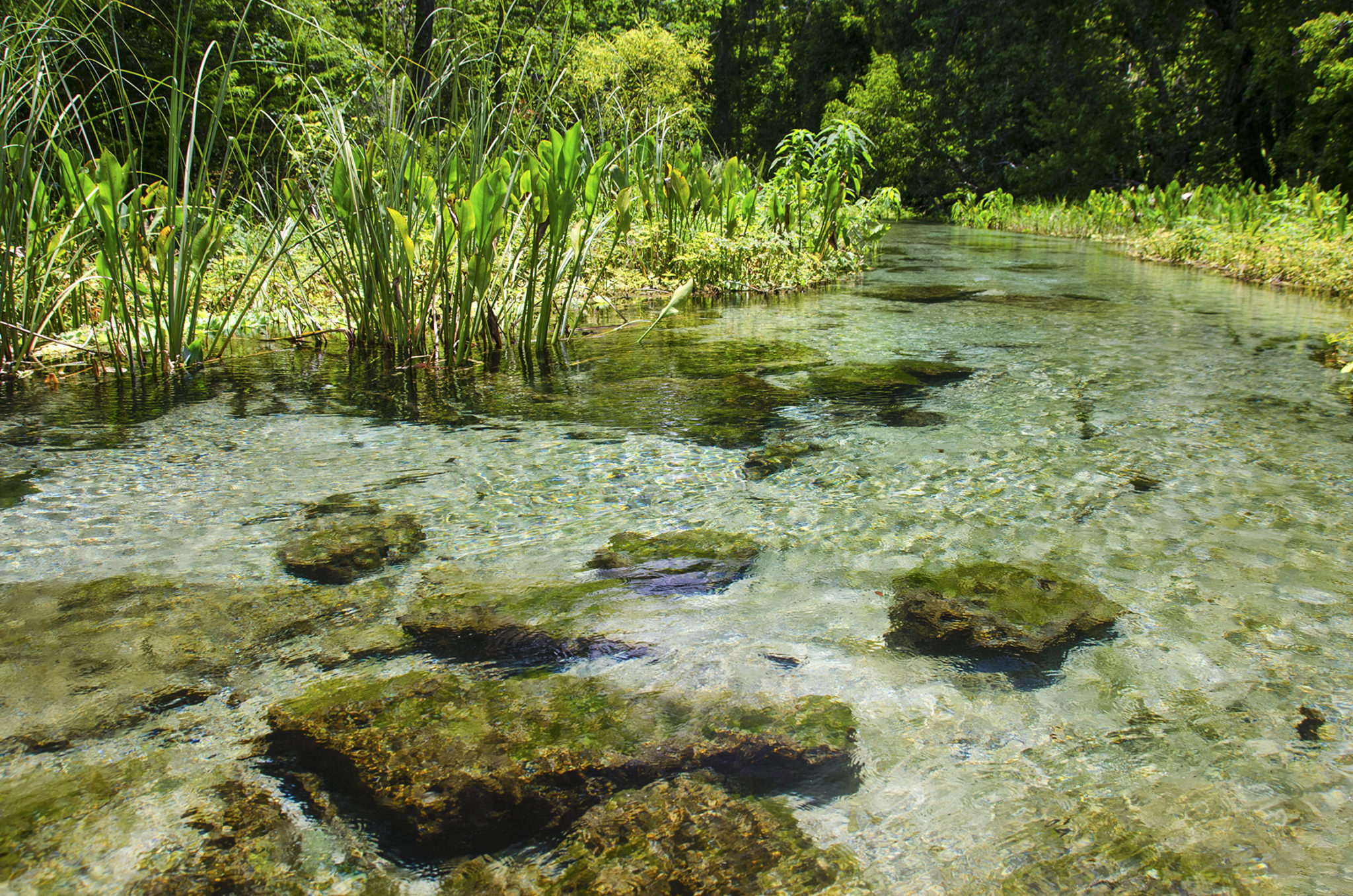
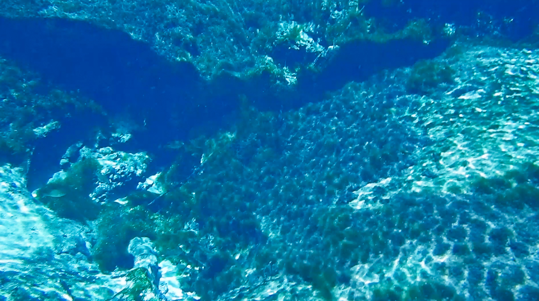
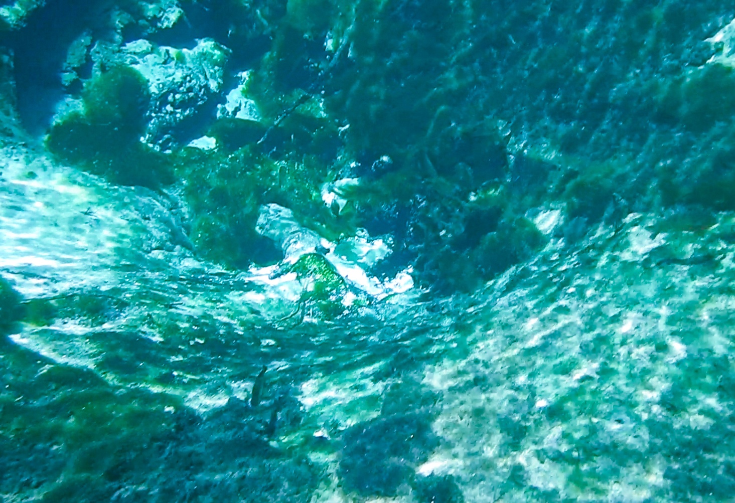
The water is clear and quite shallow in this section, in some parts just over 14″ deep with a sandy/muddy bottom. There are several sections with flat rocks present as well.
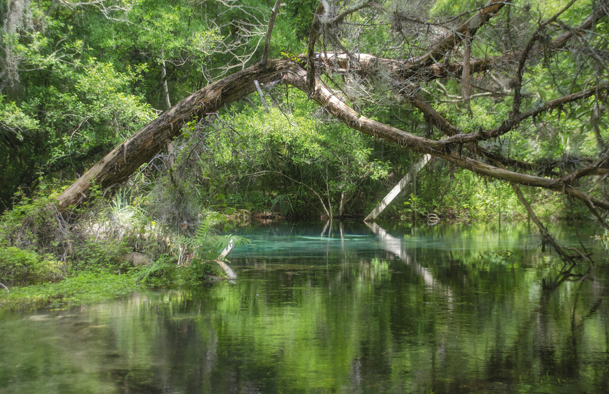
We arrived at the coordinates of Gum Spring #4, 28.95330°, -82.2405°, mile 5.23, but could not locate it. We paddled on and at mile 5.28 hit a 15′ deep water lettuce clog. This proved to be the toughest obstacle of the trip and was handled well however. From there it was on to Gum Spring #3 28.953669°, -82.237362° and #2, 28.953844°, -82.236859°, both quite visible and beautiful. Passing the entrance to Alligator Spring Run on our left we ventured into a beautiful Gum Spring #1, 28.959301°, -82.230785°, just up a short run. From there, to the end at Gum Spring Main, 28.958722°, -82.231526°, 6.4 miles against the current!.
We spent some relaxing time in this area. There are two houses, both posted so we accessed the springs from the shallow side areas, especially in the run to Gum Spring #1. These springs were beautiful, the water clear and cool! Our return took us 0.9 mile down to the entrance of Alligator Spring run and just under a 1/4 mile to this beautiful, secluded spring!

The final stretch…
The paddle down slough from Alligator Spring was easy with a steady current. Reaching the interlaced maize, we did paddle about 1/2 mile on a parallel stream different than the one we originally took up, but ended back on course. It was nice to see the Withlacoochee River. The last mile was paddled with waning energy. We were ready for a cold beer and something good to eat.
The round trip was 12.75 miles with very good weather. The springs were a treat and we were fortunate to make this paddle with a perfect water level. There was not much wildlife to see…an occasional Heron and Egret and one or two turtles, no gators, however a great paddle to have on record and close another chapter in Florida Paddle Notes!
Gum Slough Gallery:


*A special thanks to Marc S. Frank, Extension Botanist, UF/IFAS Plant Identification and Information Service, University of Florida Herbarium (FLAS), Florida Museum of Natural History for his extended help in identifying several species of aquatic plants for Florida Paddle Notes!
Additional Resources…
- Southwest Florida Water Management District – Potts Preserve…
- Southwest Florida Water Management District – Half Moon-Gum Slough…
- USGS Water Resources – Water Levels and Flow…
![]()