Overview:
The Waccasassa River is a small, isolated river East of Gulf Hammock on HWY 326, Levy County. The entire river is 29 miles long, however only a few miles are navigable. The Waccasassa is one of the most undeveloped rivers in Florida. Originating west of Bronson from diffuse swamp waters of southern Waccasassa Flats, and beginning a defined channel after receiving flow from Blue Spring. The principal tributaries of the river, upstream to downstream, are Magee Branch, Wekiva River, Otter Creek, and Cow Creek. The river becomes brackish and estuarine around the confluence with Otter Creek, where the transition from forested swamp to salt marshes begins. The upper reaches of the river and its tributaries are tannin-stained and acidic.
The Waccasassa River watershed is relatively undeveloped. There are only a handful of developed areas, consisting primarily of Bronson, Cedar Key, Newberry, and Otter Creek. Other than bridge crossings, the only development on the river is south of U.S. 19 at a county park and a small commercial marina. Some residential subdivisions are found along the Wekiva River, a spring fed tributary stream. Limerock mines are located at Gulf Hammock and north of Newberry.
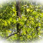
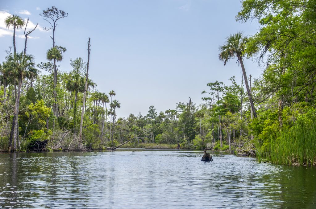
The The Waccasassa/Wekiva Rivers and Otter Creek present a very scenic paddle with a variety of trees consisting of Sweet Gum, Ash, Bays, Cabbage Palms, Red Cedar as well as some huge old Bald Cypress still hanging in there.
River Details ~ Paddle Notes ~ Flora ~ Fauna
River Details:
![]() Location: East of Gulf Hammock on HWY 326, Levy County…see map below.
Location: East of Gulf Hammock on HWY 326, Levy County…see map below.
![]() Launch points: Only one launch point! Waccasassa River Park boat ramp, Waccasassa River Boat Ramp 29.214050, -82.763564, (352) 543-5567, Gulf Hammock, FL 34449
Launch points: Only one launch point! Waccasassa River Park boat ramp, Waccasassa River Boat Ramp 29.214050, -82.763564, (352) 543-5567, Gulf Hammock, FL 34449
![]() Paddle Distance: The entire river is 29 miles, however only a few miles are navigable. The Wekiva River is about 7 miles with less than half navigable.
Paddle Distance: The entire river is 29 miles, however only a few miles are navigable. The Wekiva River is about 7 miles with less than half navigable.
![]() Difficulty: Easy to moderate. The further you paddle up the Wekiva fork the stronger the current gets requiring a bit more stamina.
Difficulty: Easy to moderate. The further you paddle up the Wekiva fork the stronger the current gets requiring a bit more stamina.
 Average Paddle Time: On this particular trip we only paddled a little over 4 miles and it took 2 hours. Our average paddle speed was 2.25 mph
![]() Width and Depth: At the launch the river is about 100′ wide, a mile upstream it is about 65′ wide. One mile up the Wekiva it is approx. 40′ wide
Width and Depth: At the launch the river is about 100′ wide, a mile upstream it is about 65′ wide. One mile up the Wekiva it is approx. 40′ wide
![]() Current – Tidal: This is tidal as well as spring fed. The Waccasassa current is slow. Heading up the Wekiva, about one mile up and the current picks up quite a bit.
Current – Tidal: This is tidal as well as spring fed. The Waccasassa current is slow. Heading up the Wekiva, about one mile up and the current picks up quite a bit.
![]() Side Paddles: 1/2 mile upstream from the launch, The Wekiva River flows into the Waccasassa and 1.25 miles downstream from the launch Otter Creek flows into the river.
Side Paddles: 1/2 mile upstream from the launch, The Wekiva River flows into the Waccasassa and 1.25 miles downstream from the launch Otter Creek flows into the river.
Paddle Notes:
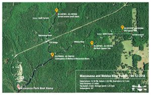
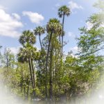
The launch site is located at the dead end of Route 326, you can’t miss it. Make sure to have enough snacks and beverages with you as there are not many places to get them once you get away from town. After launching at Waccasassa River Park and heading upstream, we recognized the habitat as somewhat similar to the ‘Chaz’ with the abundant Sabal Palmettos, some extending high above the others. About 0.65 tenths of a mile upstream from the launch is the fork in the river. The Waccasassa continued to the left and the Wekiva River flowed in from our right. Choosing the Wekiva first we headed upstream. About a half mile upstream the current becomes more swift and after paddling one mile upstream we turned around.
Reaching the fork where the Wekiva flows into the Waccasassa we paddled a half mile upstream then returned back to the boat ramp. Otter Creek flows into the Waccasassa about 1.25 miles downstream.
The river is definitely ‘wilderness’ with minimal canopy at the beginning to a moderate nice canopy the further upstream we paddled. There were no take out/rest areas for stretching or ‘bathroom’ breaks so be sure to use the restroom at the launch before getting on the water. After the paddle, stop in at Willards Restaurant and Lounge on CR 337 in Morriston for refreshments and a bite to eat!
Flora:
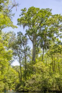
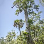
One of the most impressive aspect of the Waccasassa are the giant cypress trees! Left over from years of logging, these weathered trees are still standing dwarfing the paddlers below. From the boat ramp, the river starts out open and about 100′ wide. Paddling upstream there is more of an occasional canopy overhead as the river thins out to about 55′ 1.2miles upstream. The Wekiva fork is more lush as the river is 35-45′ wide. The tall lush trees provide much more canopy overhead.
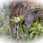
Trees: Trees along the river were numerous and notable consisting of Bald Cypress – Taxodium distichum, Pond Cypress – Taxodium ascendens, Cabbage Palm – Sabal Palmetto, Slash Pine – Pinus elliotii, Swamp Bay – Persea palustris, Loblolly Bay – Gordonia lasianthus, Dahoon Holly – Ilex cassine, American Sweetgum – Liquidambar styraciflua, Red Maple – Acer rubrum, Red Cedar – Juniperus virginiana, Wax Myrtle – Myrica cerifera and others…
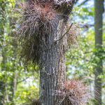
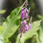
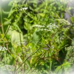
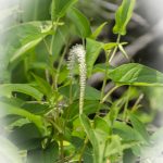
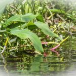
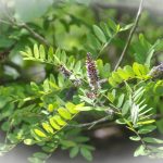
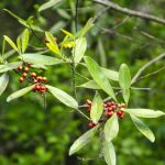
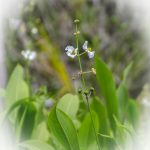
Shrubs, Grasses and Flowering Plants: Being early Spring, several species of flowering plants and marsh plants were blooming along the shoreline to include Salt Bushes – Baccharis spp., Sawgrass – Cladium jamaicense, Needlerush – Juncus roemarianus, Obedient Plant-False Dragonhead – Physostegia virginiana, Mock bishopsweed – Ptilimnium capillaceum, Lizard’s Tail – Saururus cernuus, False Indigo Bush – Amorpha fruticosa, Broadleaf Arrowroot – Sagittaria latifolia, Golden Club-Neverwet – Orontium aquaticum, Bartram’s Airplant – Tillandsia bartramii , Pickerelweed – Pontedaria cordata and others…
Shrubs, Grasses and Flowering Plants – Gallery:
Fauna:
Wildlife and Protected Species: According to the Watershed Management Plan for the Waccasassa River put out by the Suwannee River Water Management District here is a list of protected species in the area…Gulf Sturgeon, American Alligator, Atlantic Loggerhead Turtle, Atlantic Green Turtle, Alligator Snapping Turtle, Bald Eagle, Swallow-tailed Kite, Snowy Egret, Tricolor Heron, Reddish Egret, Little Blue Heron, American Oystercatcher, Wood Stork, Brown Pelican, Florida Mouse, Florida Black Bear and West Indian Manatee.
![]()

