
This was a first-time paddle for Florida Paddle Notes…a portion of the Upper Ocklawaha River. This section took us through the Ocklawaha Prairie Restoration Area. This area was once a meandering river through vast marshes, cypress swamps, and floodplain forests as it worked its way towards the St. Johns River near Palatka. But channelization by the Army Corps of Engineers radically altered its flow in many places, including around Moss Bluff. The St. Johns River Water Management District purchased this property to restore the Upper Ocklawaha River Basin to a natural system. The historic river channel flows through the property and a canal (C-212) runs on the eastern boundary of the original floodplain.
The restoration has provided improved water quality on-site and downstream, expanded floodwater storage, and restored 2,400 acres of wetlands and associated wildlife habitat. Ocklawaha Prairie lies within an extensive wetland system that includes Tiger Den, Marshall Swamp, and the Dead River (sjrwmd)…James
For a detailed Ocklawaha River history and overview please visit previous Florida Paddle Notes…
![]()
Moss Bluff to Ray Wayside Notes:
![]() Location: The ‘Upper’ Ocklawaha River is usually considered the section of Lake Griffen to the Silver River, which flows from Silver Springs.
Location: The ‘Upper’ Ocklawaha River is usually considered the section of Lake Griffen to the Silver River, which flows from Silver Springs.
![]() Launch point: The launch for this paddle is at Moss Bluff North Boat Ramp.
Launch point: The launch for this paddle is at Moss Bluff North Boat Ramp.
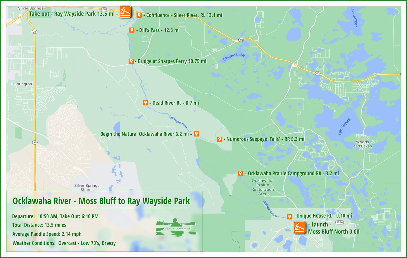
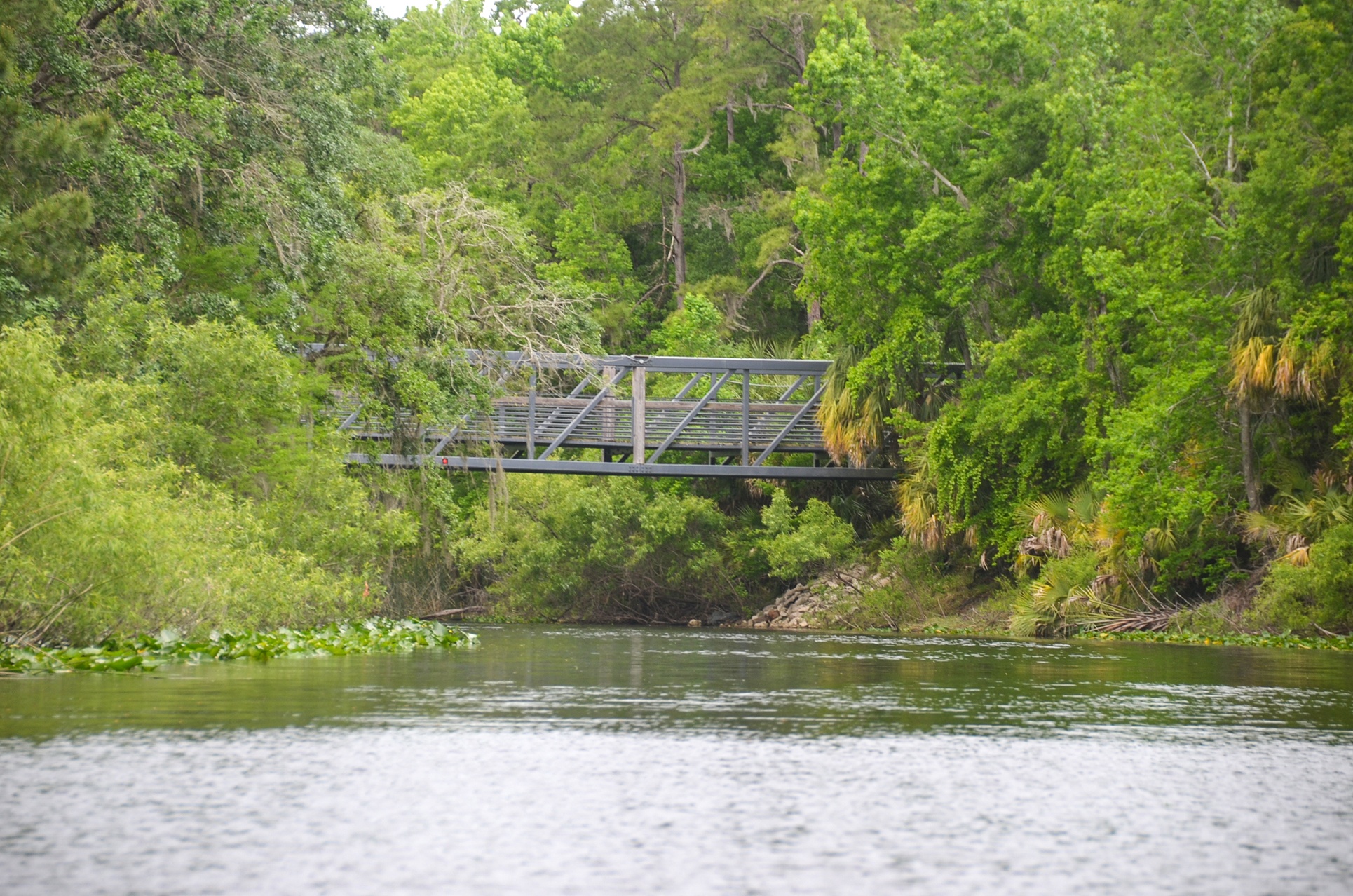
The Take-Out is at Ray Wayside Park.
![]() Paddle Distance: 13.5 miles.
Paddle Distance: 13.5 miles.
![]() Difficulty: Easy, though it is a 13.5-mile trip and on this day it was against the wind most of the day.
Difficulty: Easy, though it is a 13.5-mile trip and on this day it was against the wind most of the day.
 Average Paddle Speed: 2.14 mph.
![]() Width and Depth: The navigable width for most of this paddle averaged 100 to 130′ for the first 12 miles, due to the previous work of restoration efforts and dredging. Around mile 12 in thins to 75′ and by the time we reach the Silver River it is just 50′ wide. Depth average 4 – 6 ‘ for most of this paddle.
Width and Depth: The navigable width for most of this paddle averaged 100 to 130′ for the first 12 miles, due to the previous work of restoration efforts and dredging. Around mile 12 in thins to 75′ and by the time we reach the Silver River it is just 50′ wide. Depth average 4 – 6 ‘ for most of this paddle.
![]() Current – Tidal: The current was slow less than 2 mph.
Current – Tidal: The current was slow less than 2 mph.
![]() Side Paddles: NA.
Side Paddles: NA.
![]() Rest Areas: There are a few areas along this route that could be suitable. Most being in the first few miles. There is a nice spot at 3.2 miles that is also a primitive campground.
Rest Areas: There are a few areas along this route that could be suitable. Most being in the first few miles. There is a nice spot at 3.2 miles that is also a primitive campground.
Moss Bluff to Ray Wayside Paddle Map…
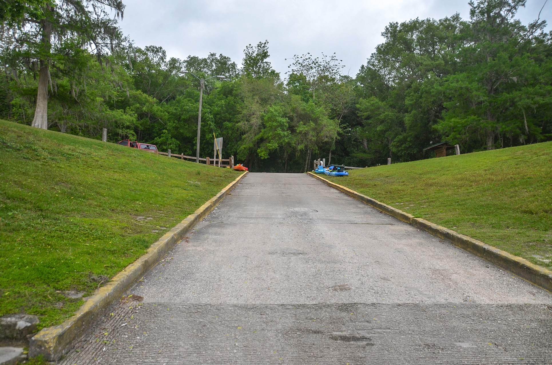
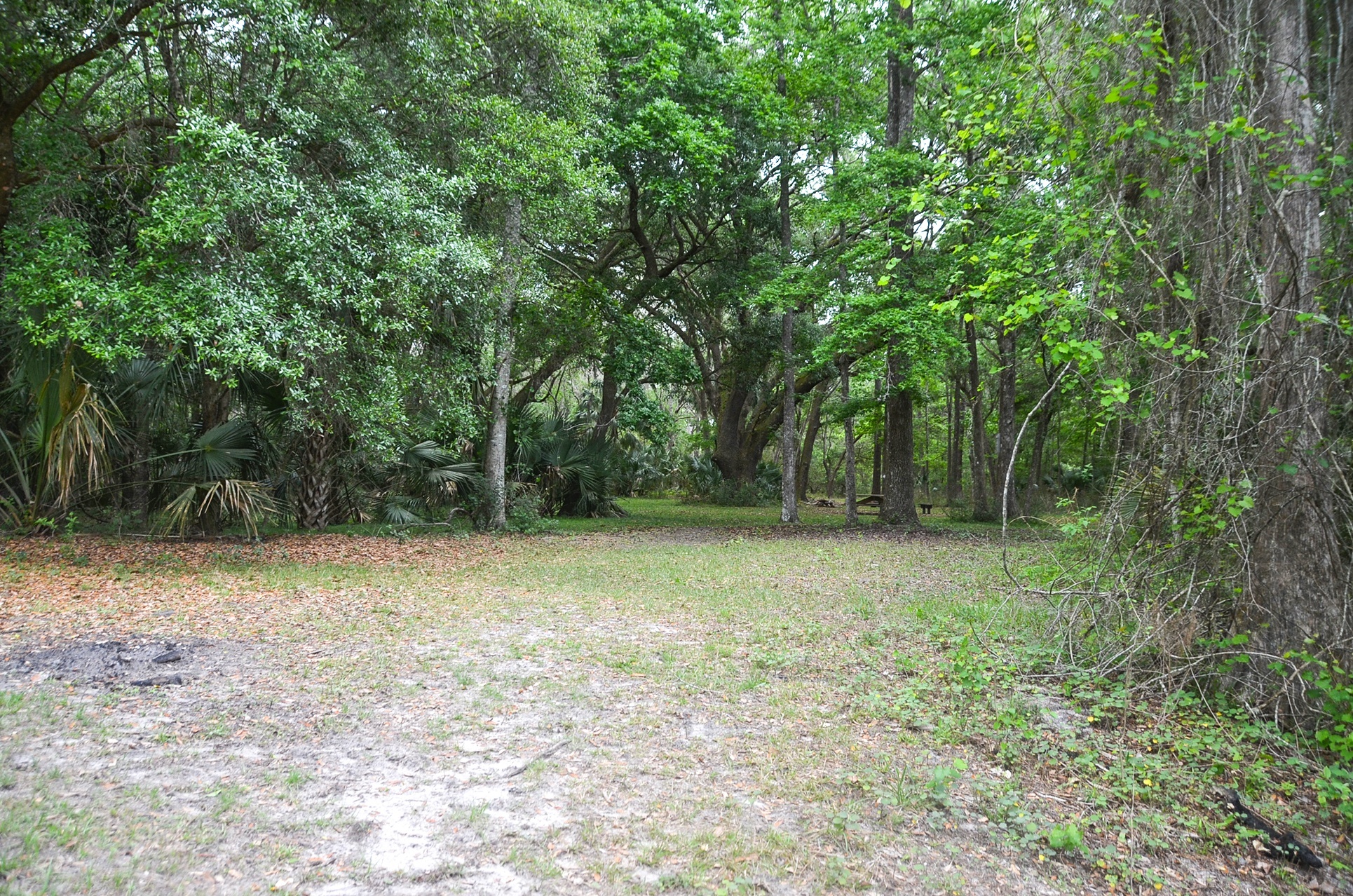
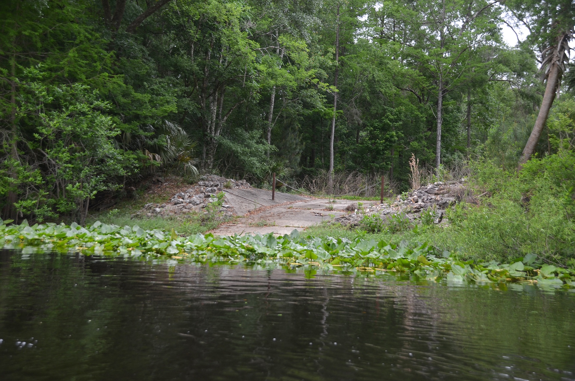
Moss Bluff North Launch:
- Good solid launch, 120′ slope to the water.
- Restrooms are available and there is a $5.00 fee

The paddle…
OK…this paddle is a long one for our average paddles and it is one you do to say you’ve paddled the entire Ocklawaha River. The only thing that made this paddle a little bit of a challenge was paddling against the wind for 13.5 miles.
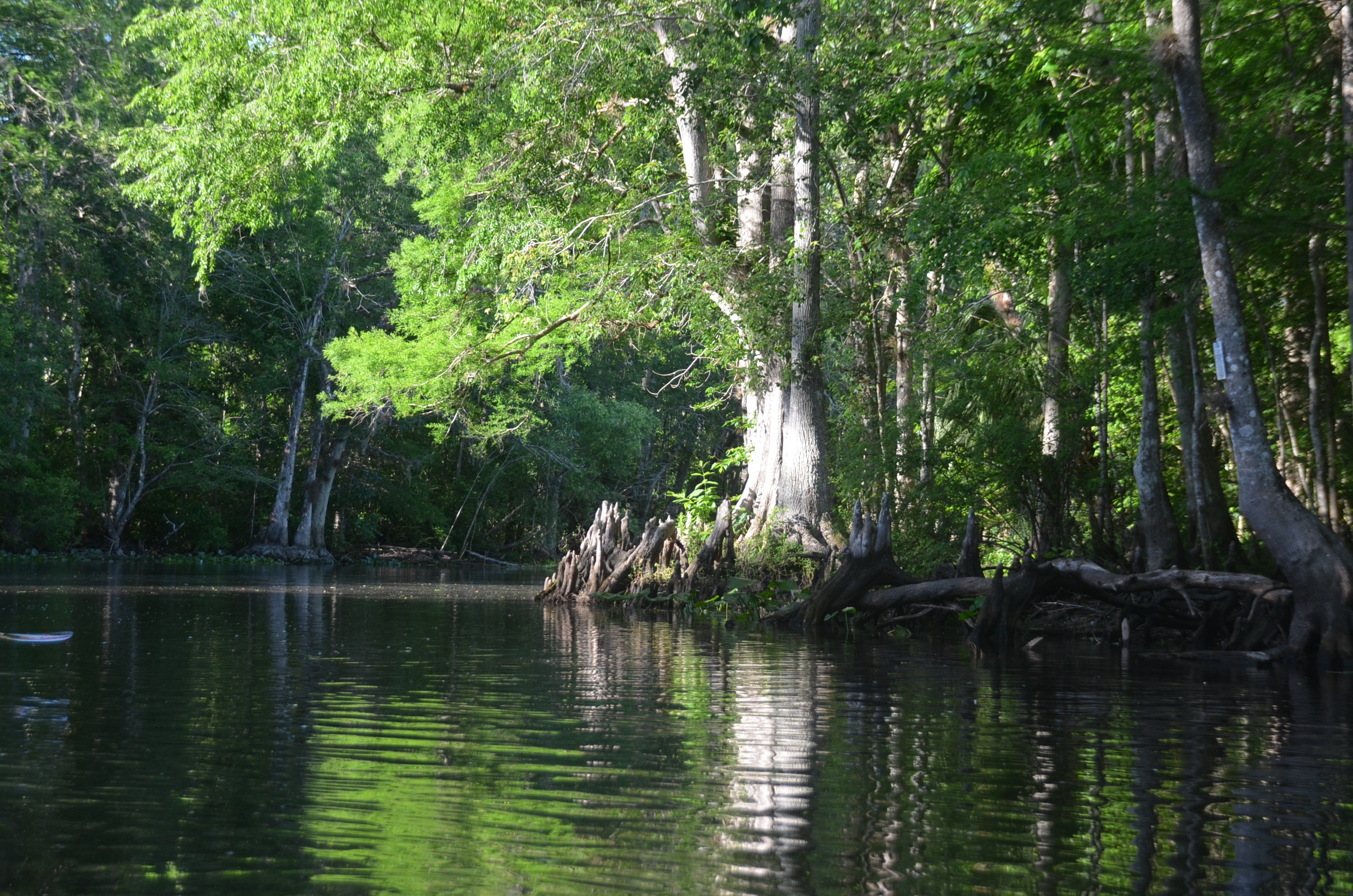
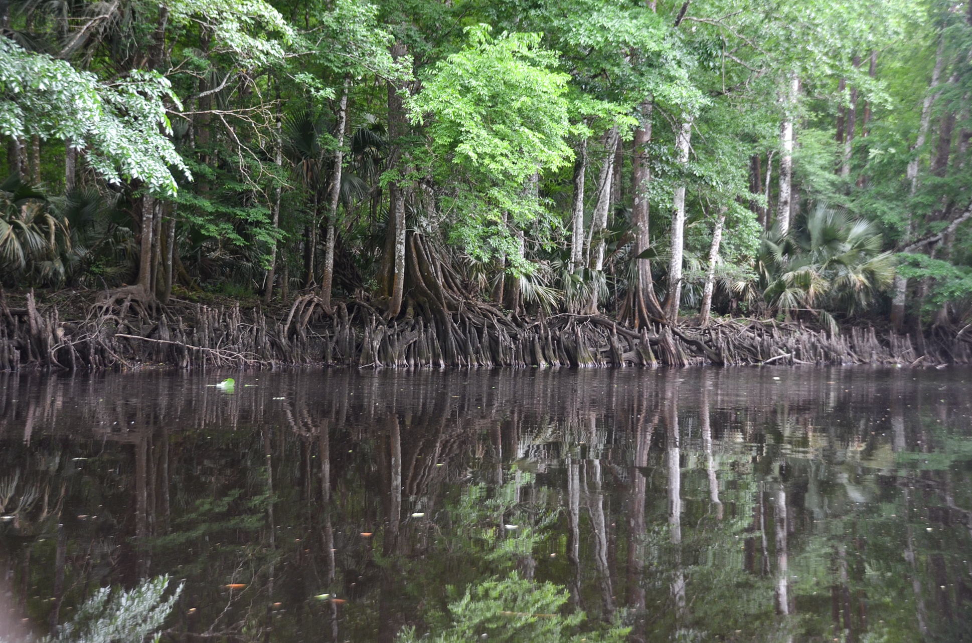
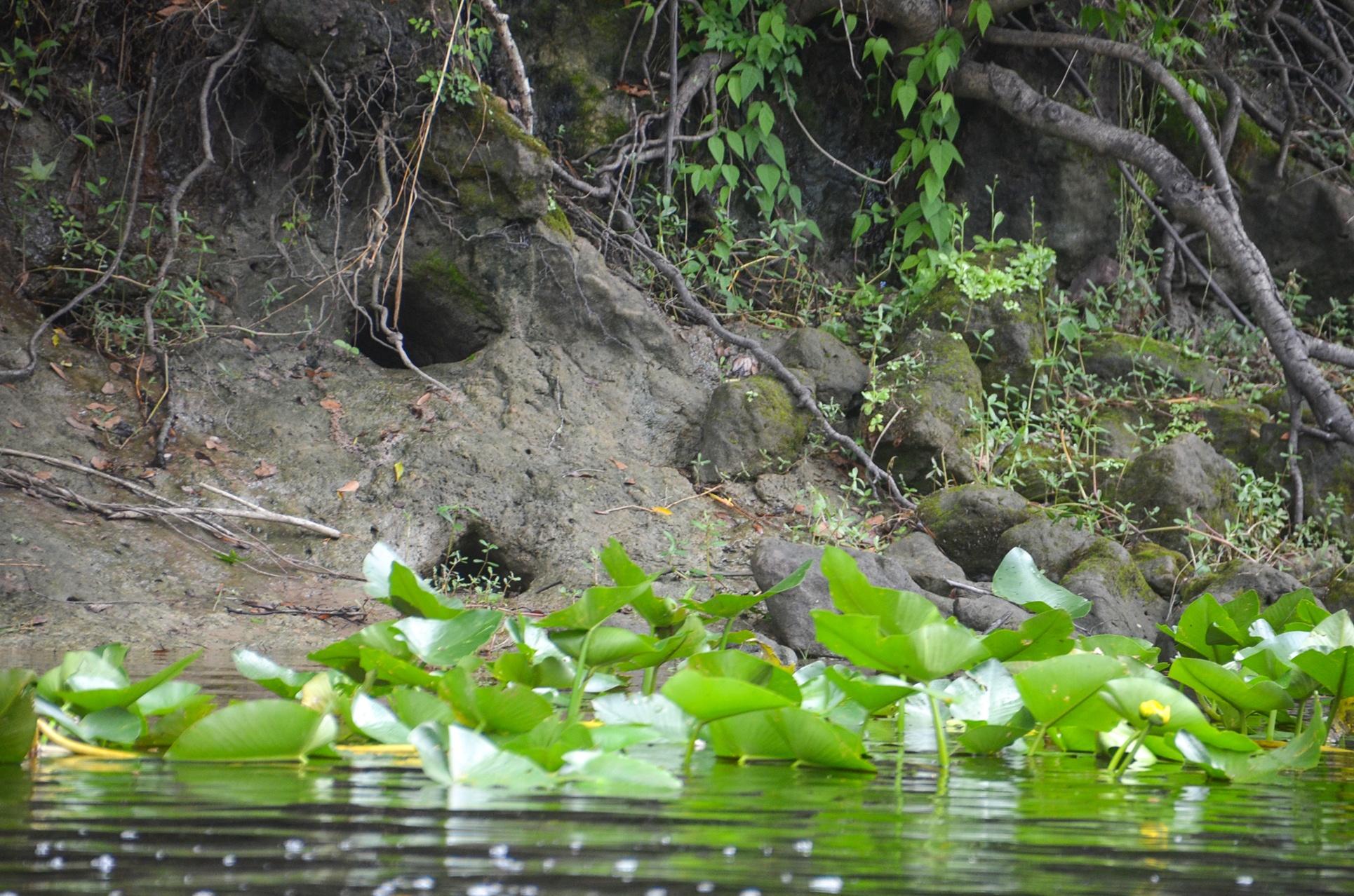
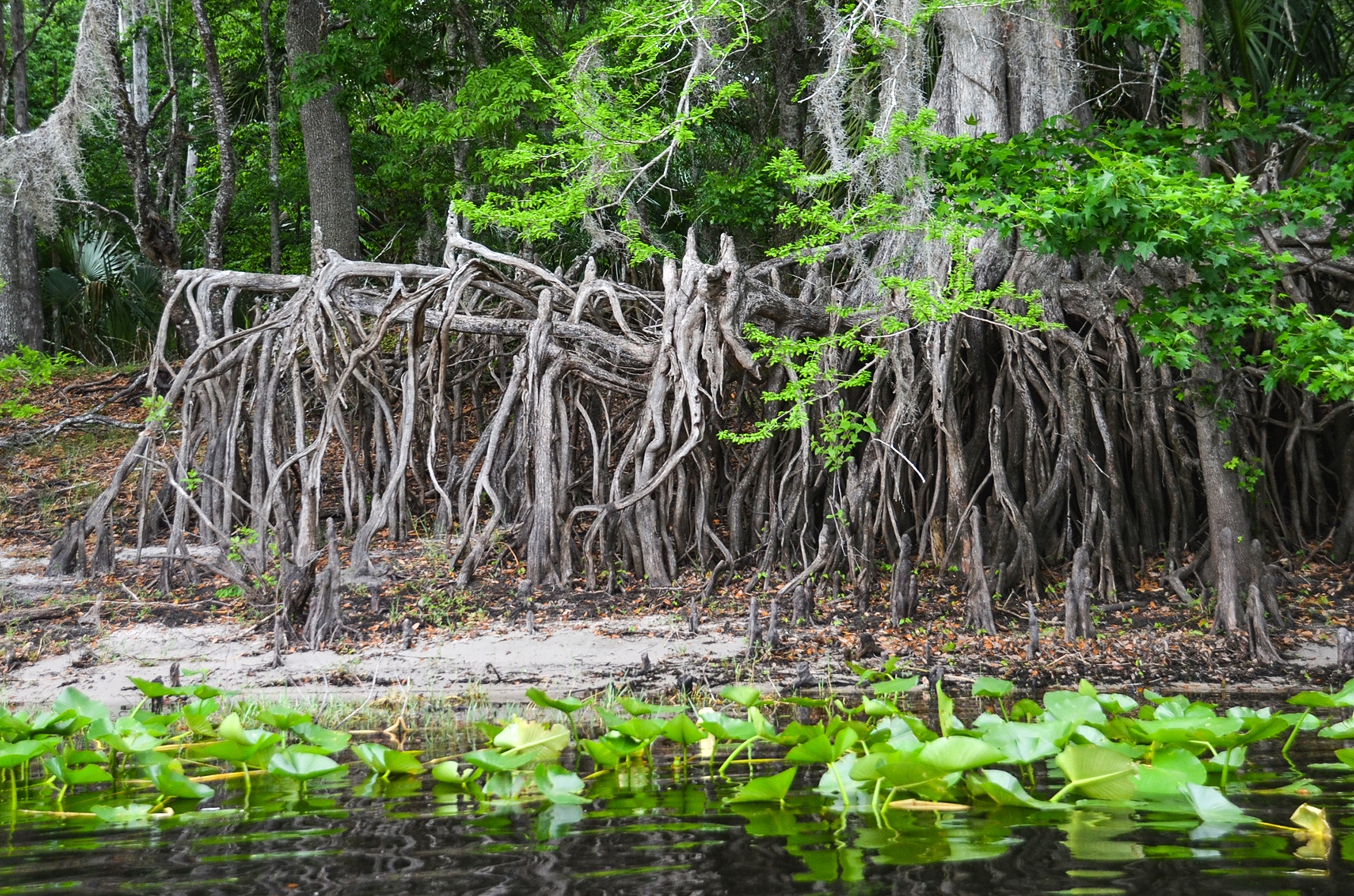
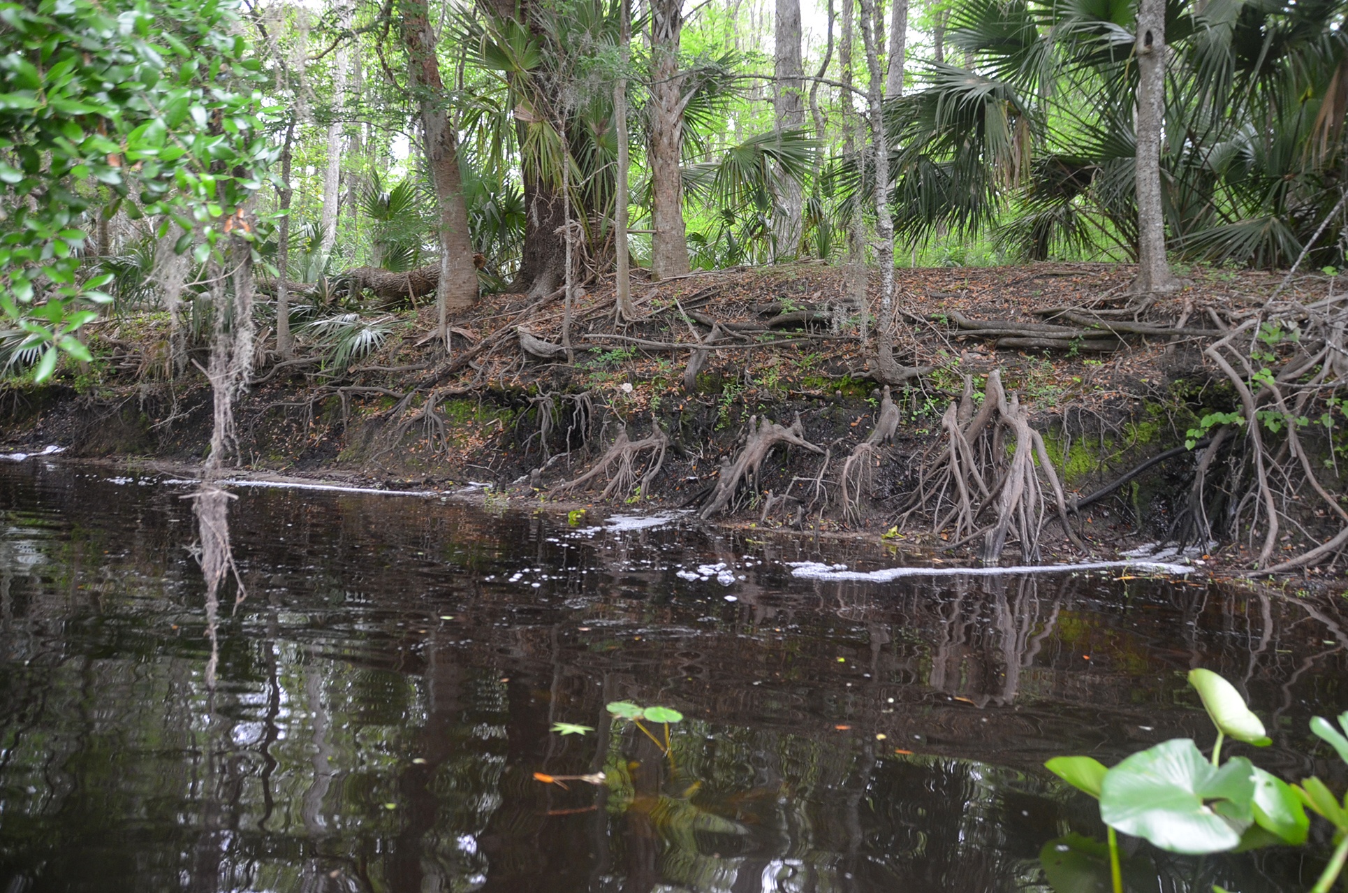
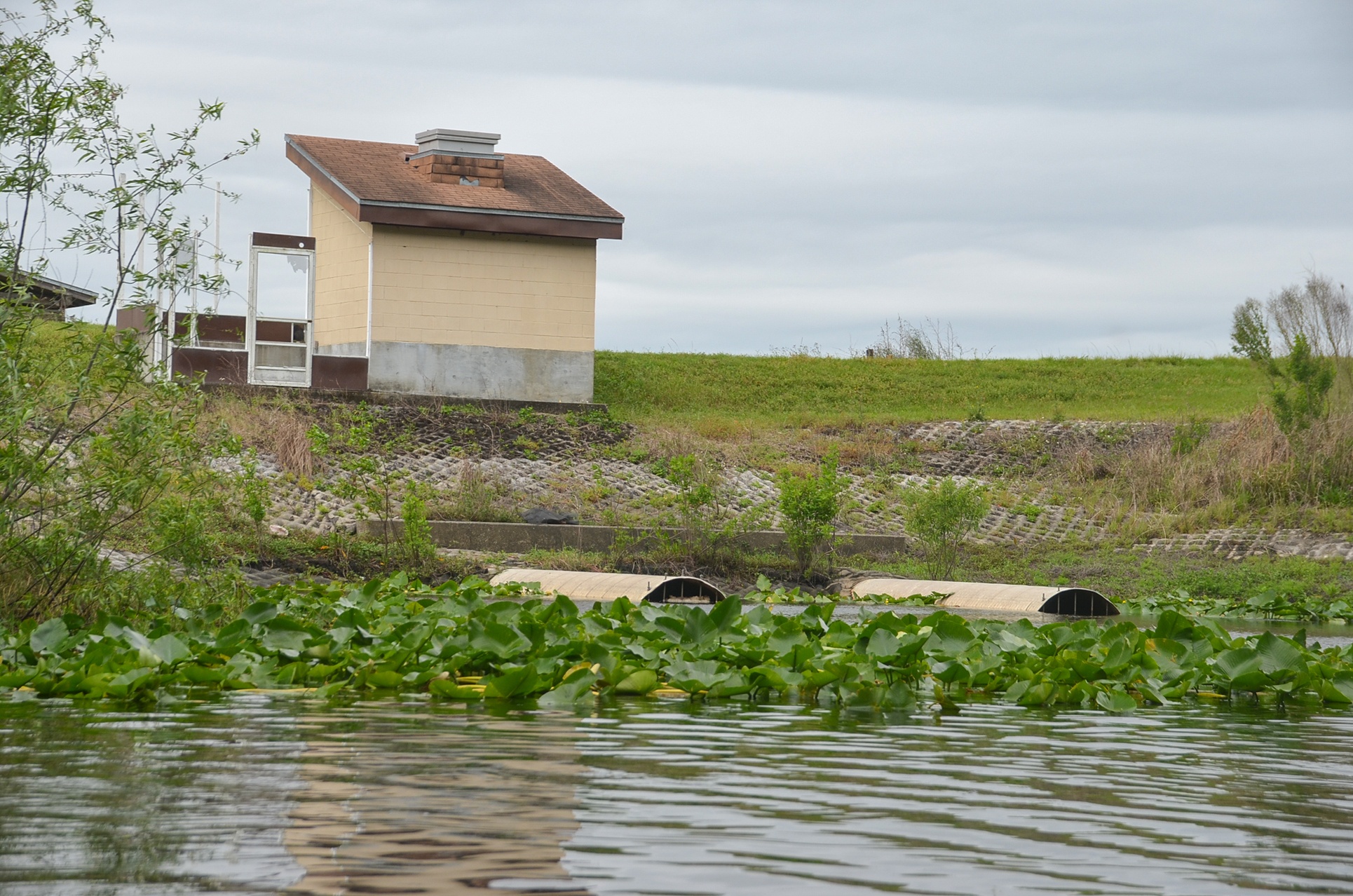
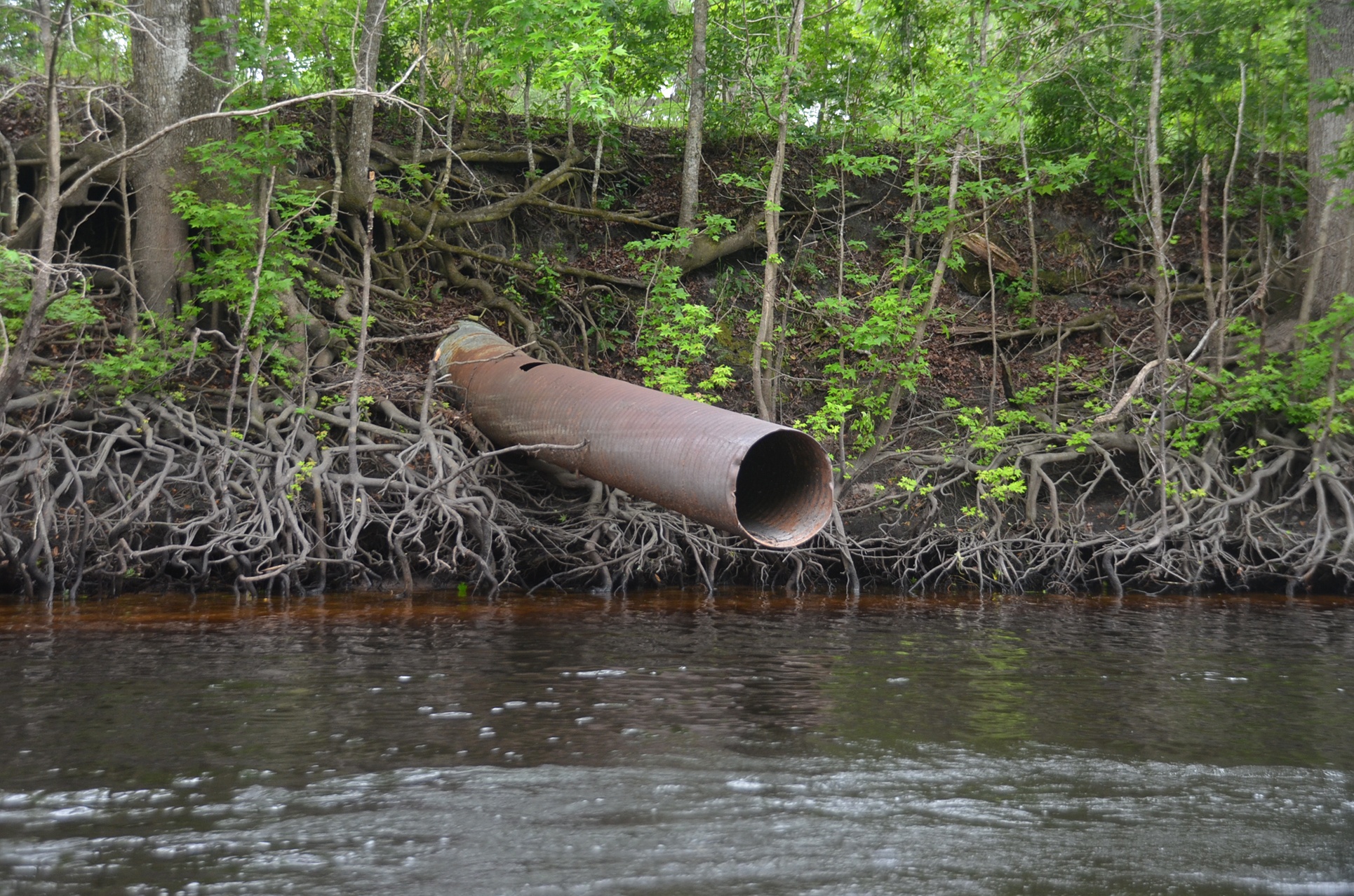
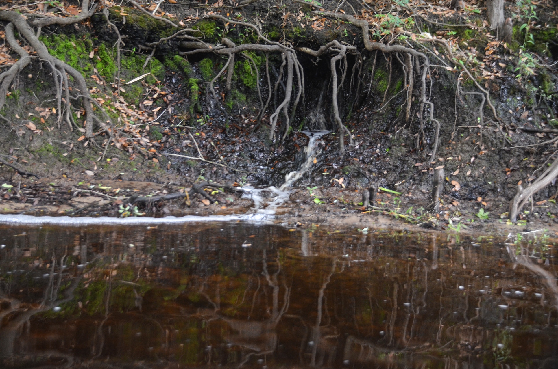
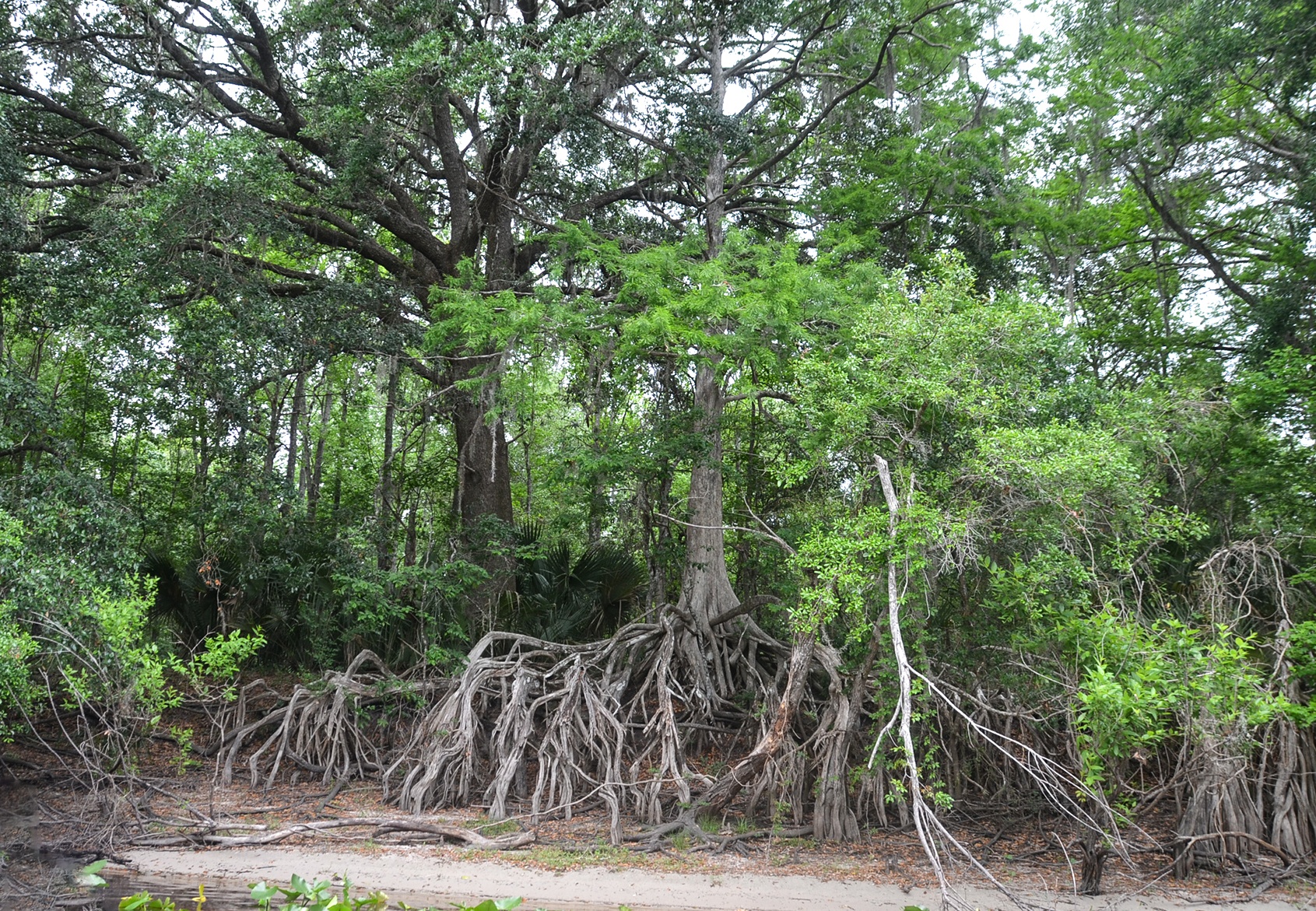
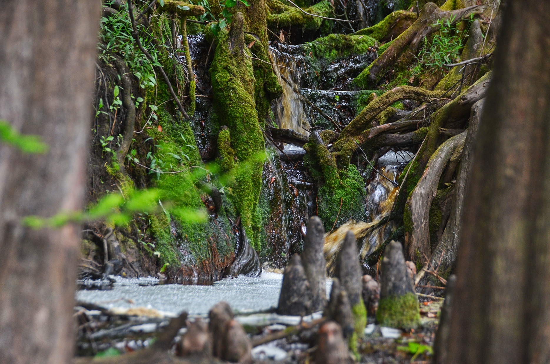
Yes, the first 6 miles was definitely on a restoration, dredged waterway, with numerous drain pipes that drained the water from the prairie restoration area, yet despite the obvious of this being dredged, the banks along the East bank were interesting, with numerous exposed Cypress roots and knees, Plecostomous holes and mini ‘waterfalls’ ( actually just seepages into the river ).
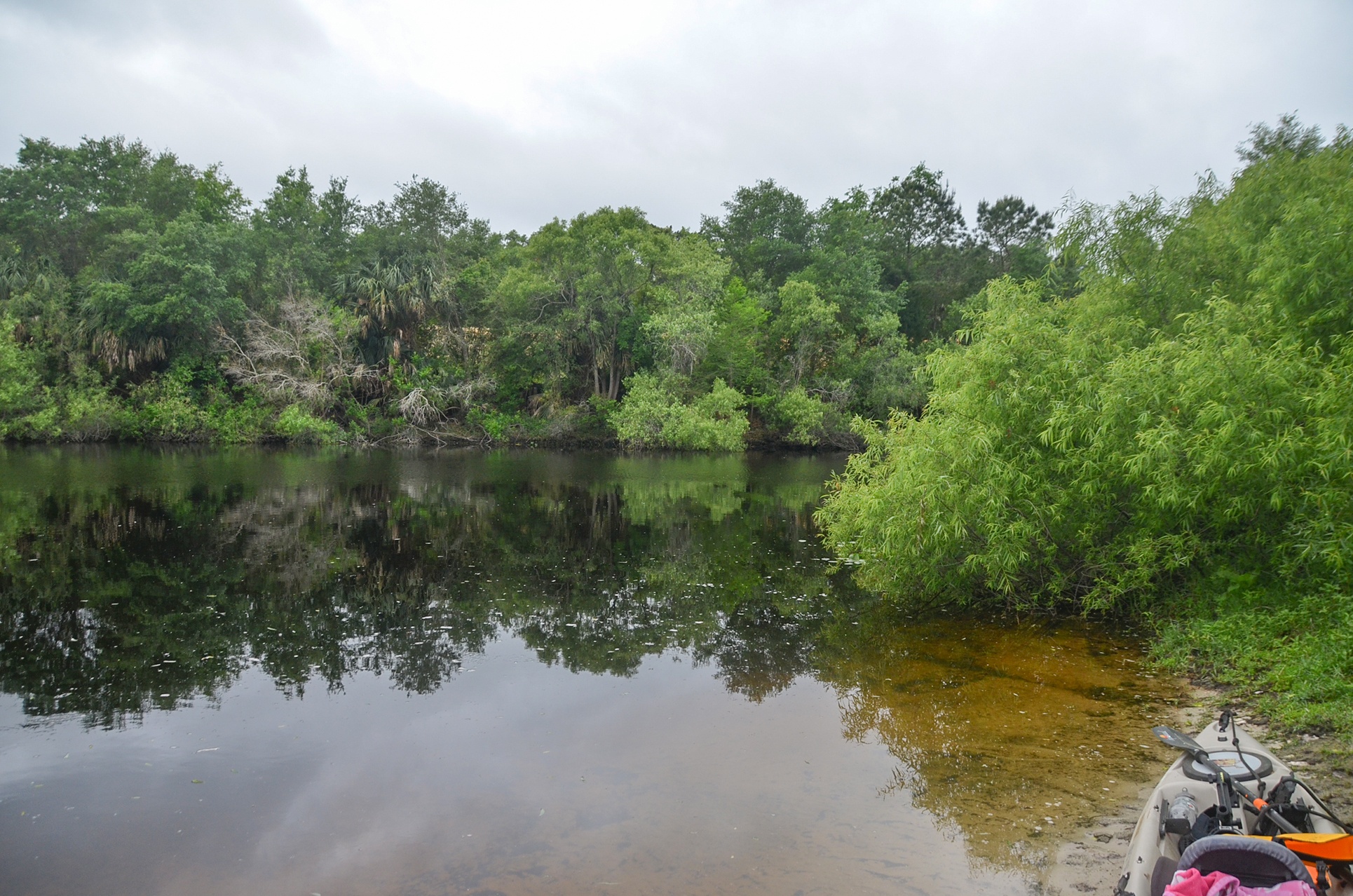
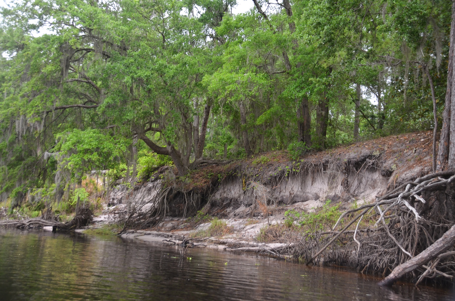
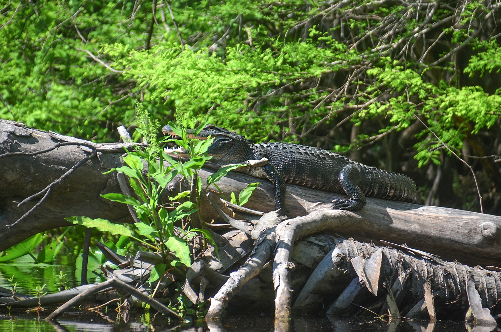
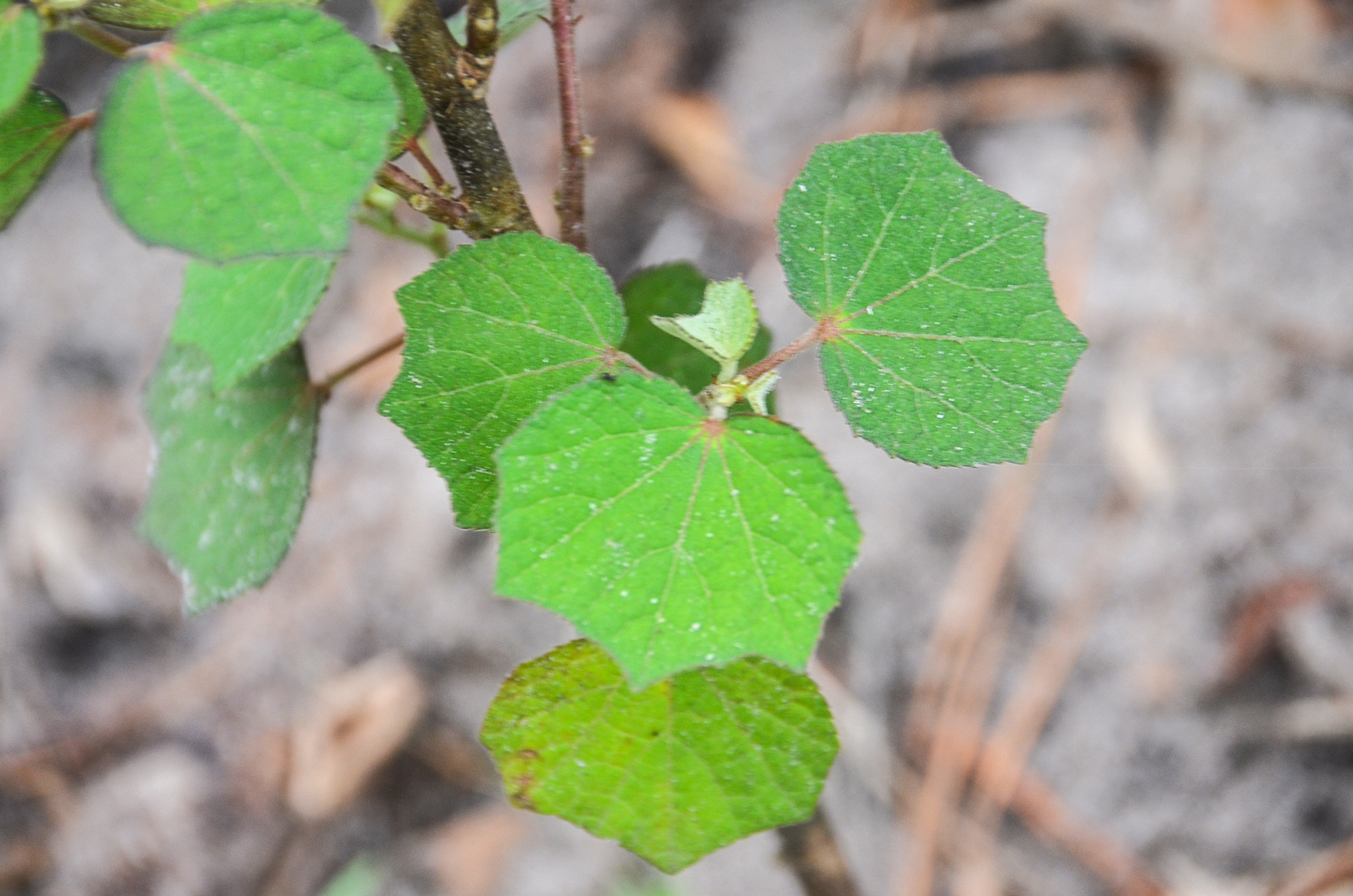
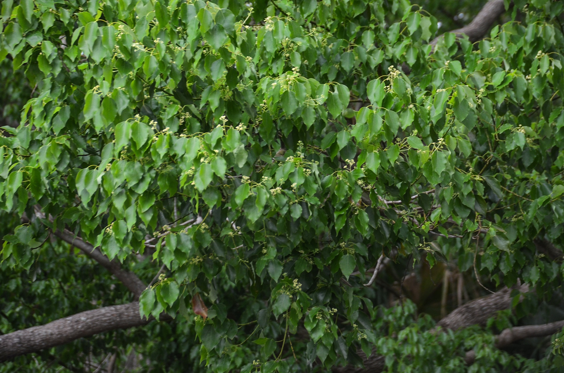
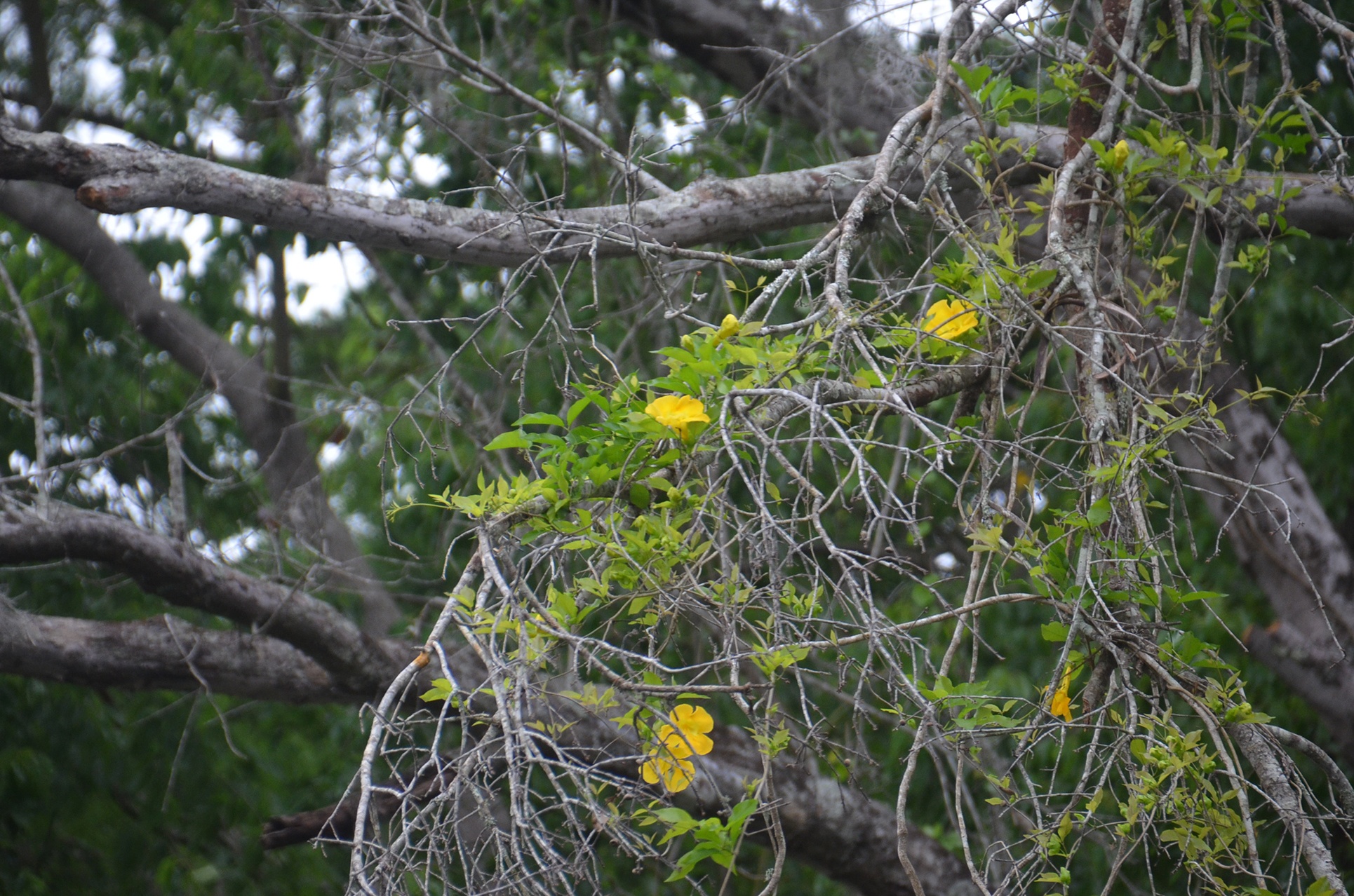
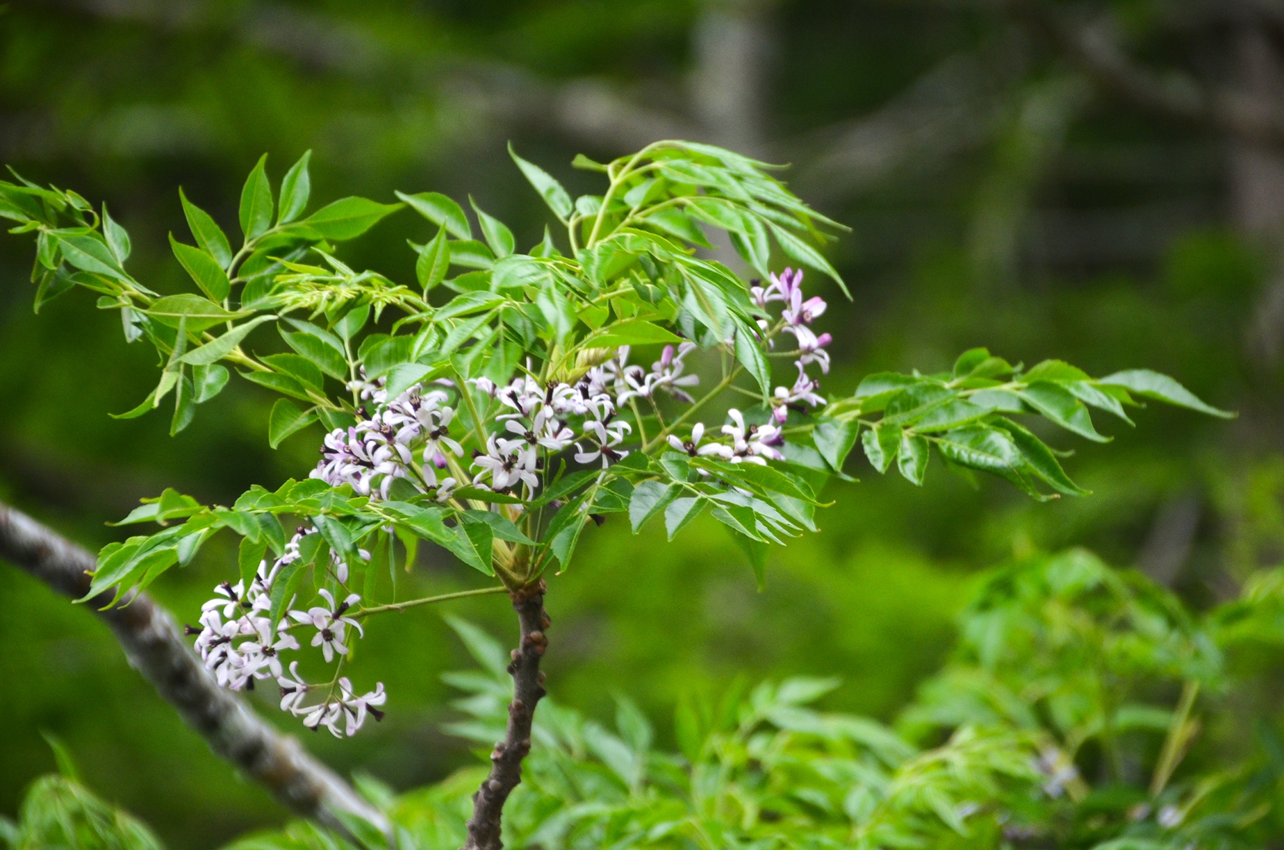
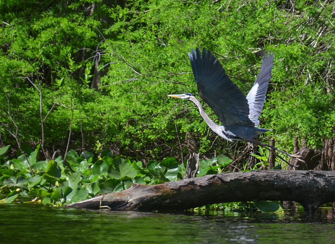
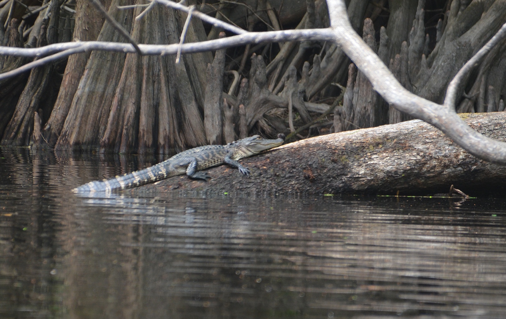
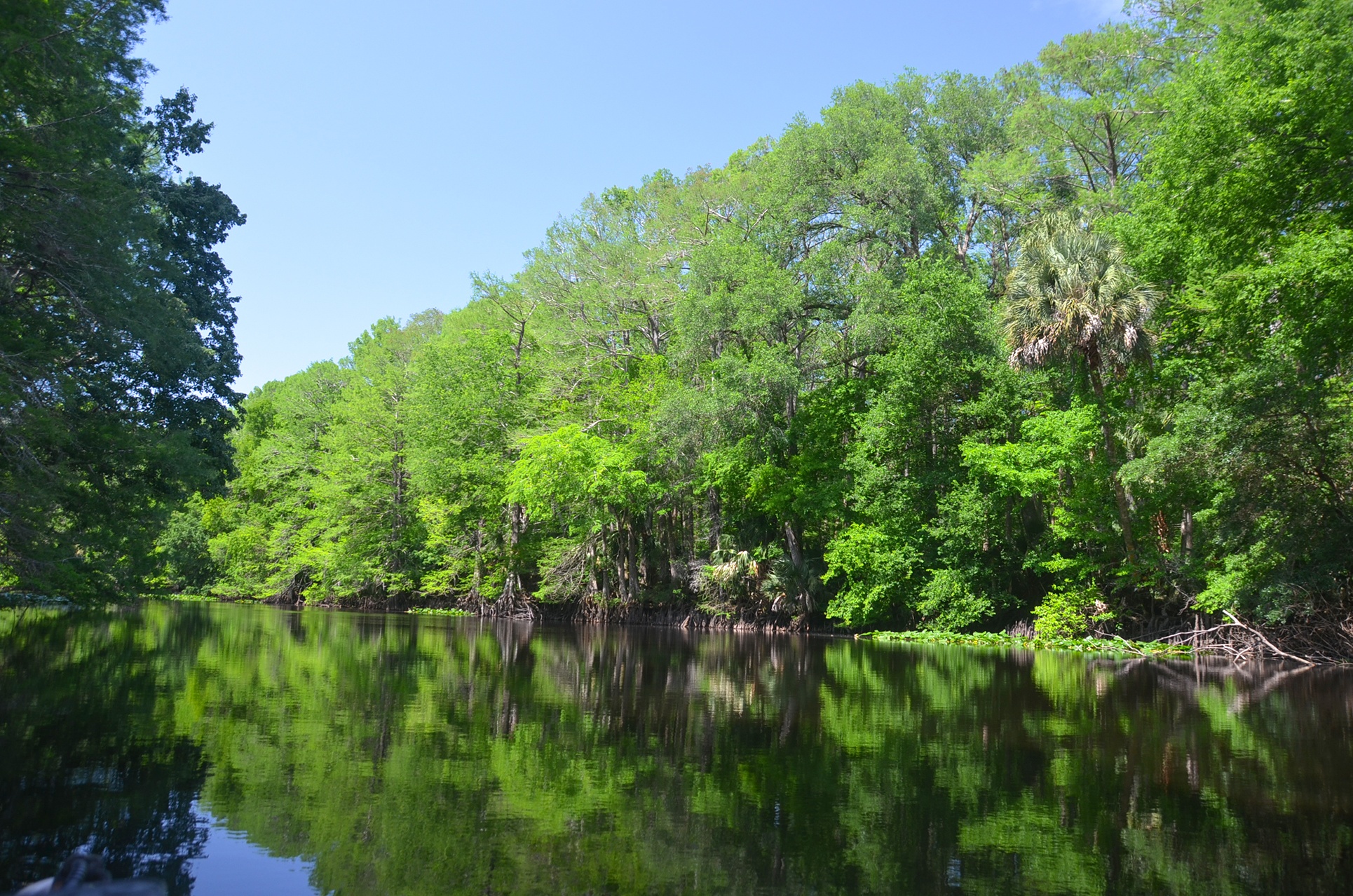
We encountered the actual Ocklawaha River at the 6.2-mile area, but it was still noticeable that it was a bit too straight, but at least now we had the trees on both sides as we paddle. It would not be until mile 12, that the river thins and becomes what you would expect to see on the Ocklawaha River. What was beautiful was the wall of Bald Cypress along the right bank with fresh green new leaves of Spring. Along the way, we viewed Herons, Chinaberry, Yellow Jasmine, Camphor Trees, Ceasarweed, and a few small gators.
I personally will not be paddling this section again, but as I said earlier, I did a section I have never done before, and it was so good to be back with our paddling buddies, the Boll Green Aquaholics!
Guides, Maps & Info…
- Moss Bluff Topo Map…
- Ocklawaha Water Level Info at Moss Bluff…
- Ocklawaha Prairie Restoration…
- Florida Defenders of the Environment – Remembering the Ocklawaha…
- Ocklawaha River – Remembered-Imagined…
- North Star Charters…Capt. Karen Chadwick…
- History of The Florida Barge Canal…
- The Ditch of Dreams…
- History – Treaty of Paynes Landing…
- Ocklawaha Canoe Outpost & Resort…
- The Springs of the Ocklawaha River, Florida: Rodman Dam to Eureka Dam…
- An Ocklawaha River Information Mini-Page…
- Whitey Markle on the Ocklawaha River…
- Searching for—and Finally Finding—Cannon Springs, by Whitney Sanford…
- Save Rodman Reservoir, Inc…
- Free the Ocklawaha, Info and Videos…
- Additional Ocklawaha River posts by Florida Paddle Notes…
![]()