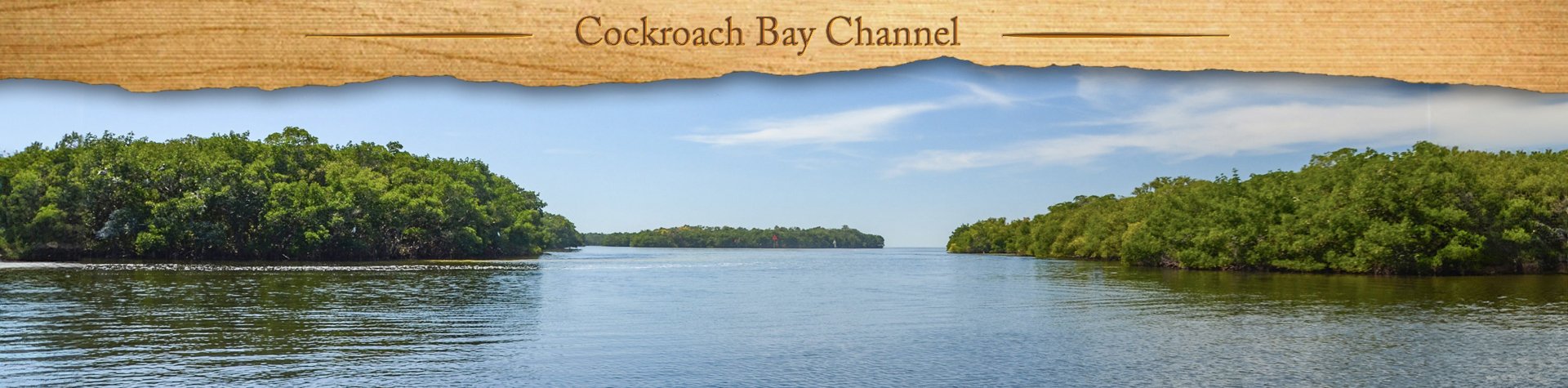
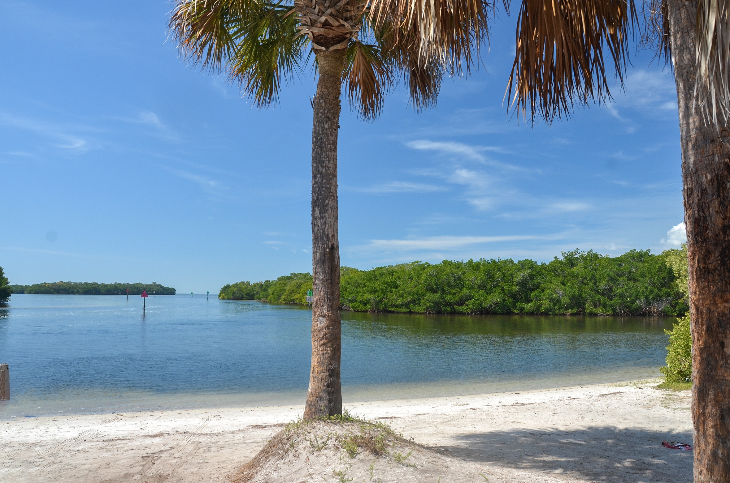
This past weekend, Florida Paddle Notes visited three new paddle locations with our paddle buddies, the Boll Green Aquaholics. Cockroach Bay Aquatic Preserve is a protected area near Ruskin in Hillsborough County and includes a series of islands and mangroves at the mouth of the Little Manatee River.
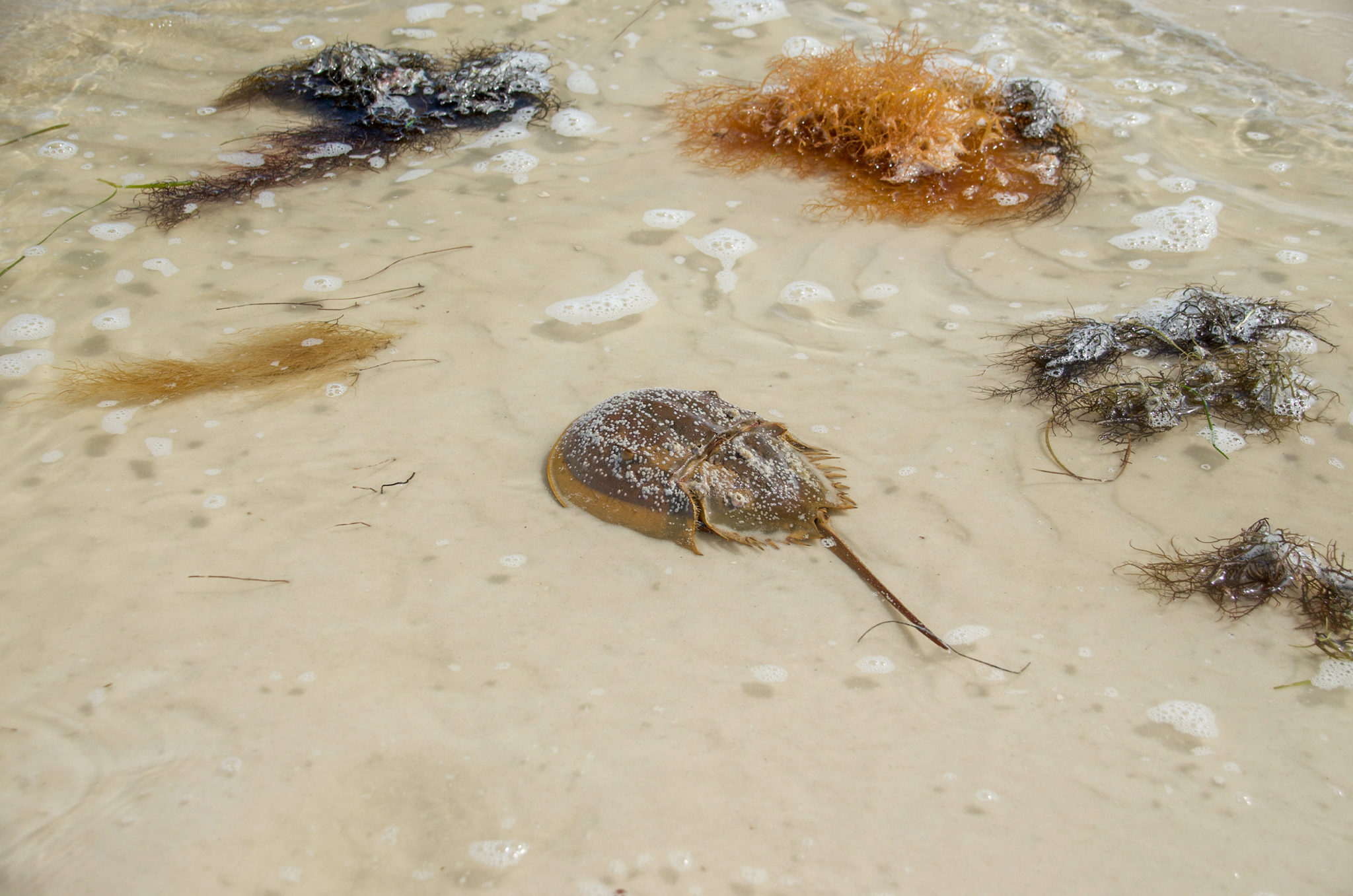
The unusual name was given by early Spanish settlers who felt the Horseshoe Crabs looked much like cockroaches, believing them to be related to the land insects. The Horseshoe crabs are no longer as predominant in this section of the Gulf Coast as they once were. We had a beautiful sunny day to explore one of the trails called Horseshoe Run…James
![]()
 Horseshoe Run Details:
![]() Location: Located in the Cockroach Bay Aquatic Preserve near Ruskin, Fl in Hillsborough County.
Location: Located in the Cockroach Bay Aquatic Preserve near Ruskin, Fl in Hillsborough County.
![]() Launch & Take Out Point for this Paddle: Cockroach Bay Boat Ramp, 5299 Cockroach Bay Road, Ruskin, Fl. 33570
Launch & Take Out Point for this Paddle: Cockroach Bay Boat Ramp, 5299 Cockroach Bay Road, Ruskin, Fl. 33570
![]() Paddle Distance: 3+ miles…this day. A longer paddle can be obtained by, perhaps to 5 miles, by covering more of the mangrove islands South and West of the main Horseshoe Run.
Paddle Distance: 3+ miles…this day. A longer paddle can be obtained by, perhaps to 5 miles, by covering more of the mangrove islands South and West of the main Horseshoe Run.
![]() Difficulty: Easy to moderate. It could be moderate if the tide was not in your favor or if there is a strong wind off the bay.
Difficulty: Easy to moderate. It could be moderate if the tide was not in your favor or if there is a strong wind off the bay.
![]() Average Paddle Speed: 1.6 mph
Average Paddle Speed: 1.6 mph
![]() Width and Depth: Today’s paddle depth averaged around 2′-3′. Check the tides.
Width and Depth: Today’s paddle depth averaged around 2′-3′. Check the tides.
![]() Current – Tidal: Tidal.
Current – Tidal: Tidal.
![]() Side Paddles: Explore further mangrove islands to the South and West
Side Paddles: Explore further mangrove islands to the South and West
![]() Rest Areas: There were a few areas that allowed for exiting a kayak, all primitive.
Rest Areas: There were a few areas that allowed for exiting a kayak, all primitive.
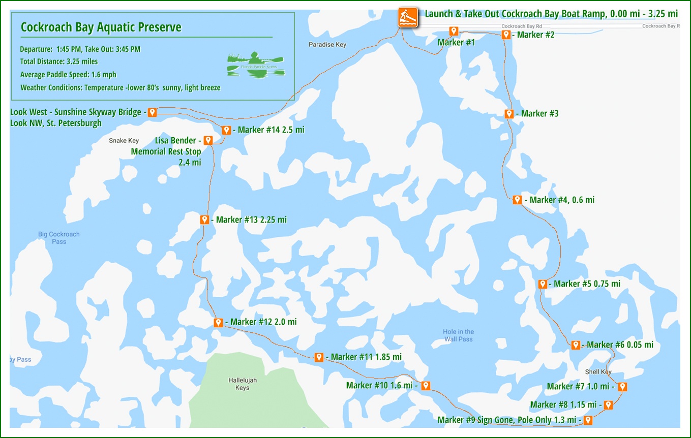
![]() Important Information: It can be confusing out there knowing the true path from one sign to next, especially when you get to marker #9, which was missing, except for the pole. From there some intuition is needed or some prior planning with a map. Download the map from this post as a helpful guide. Also check winds and tides.
Important Information: It can be confusing out there knowing the true path from one sign to next, especially when you get to marker #9, which was missing, except for the pole. From there some intuition is needed or some prior planning with a map. Download the map from this post as a helpful guide. Also check winds and tides.
The Cockroach Bay – Horseshoe Run Paddle Map…
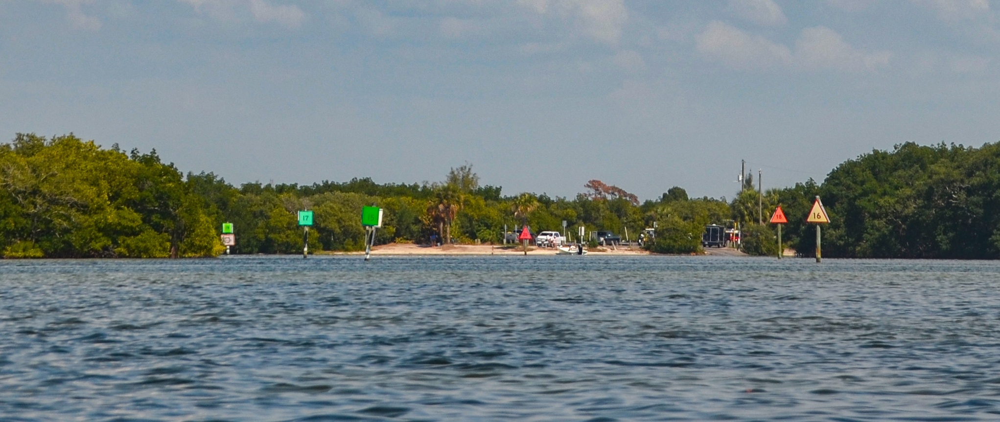
The Cockroach Bay Boat Launch…
This is a nice launch and very busy! Located at the end of Cockroach Bay Road ( see above ) There is an actual concrete ramp as well as plenty of room for soft staging on the sandy water’s edge. A port-a-potty is located on site and no launch fee. 30 allotted parking slots, for boat trailers are along the highway…gravel/dirt.
Horseshoe Run…
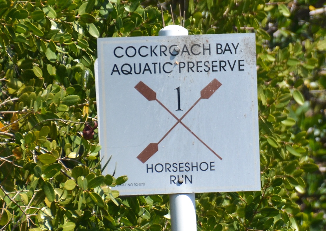
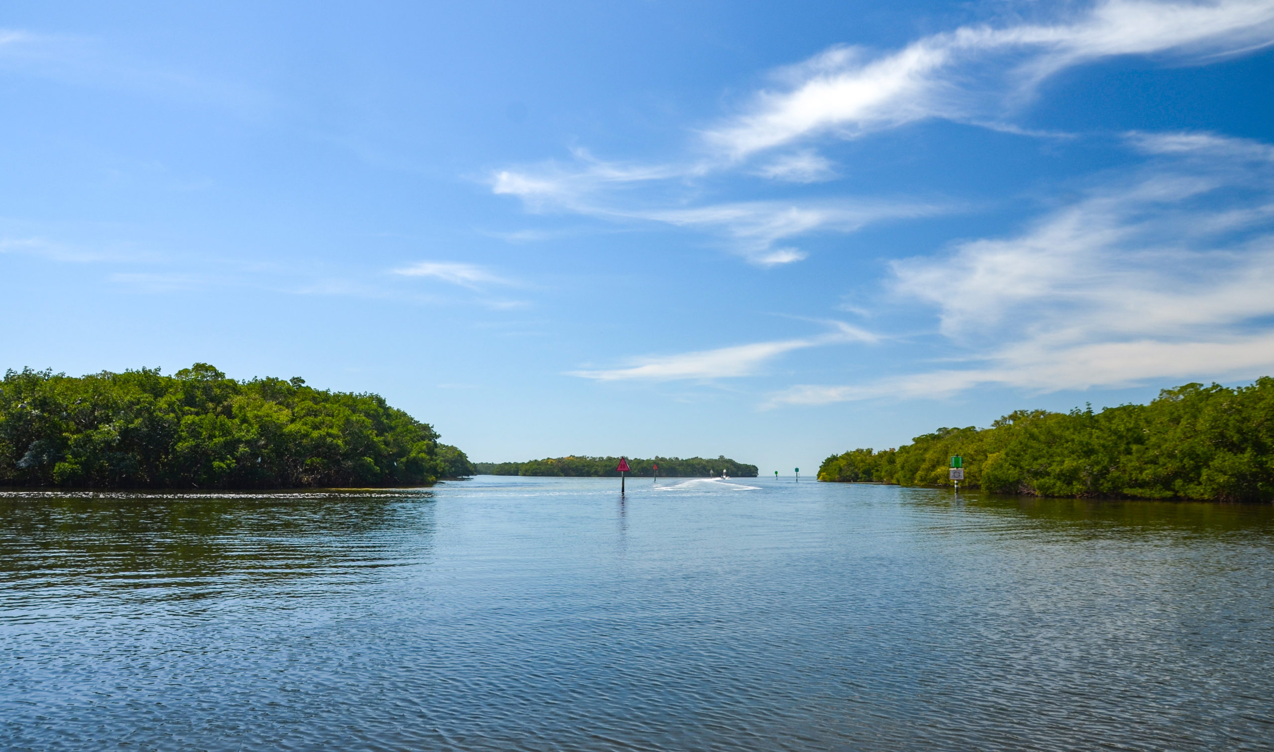
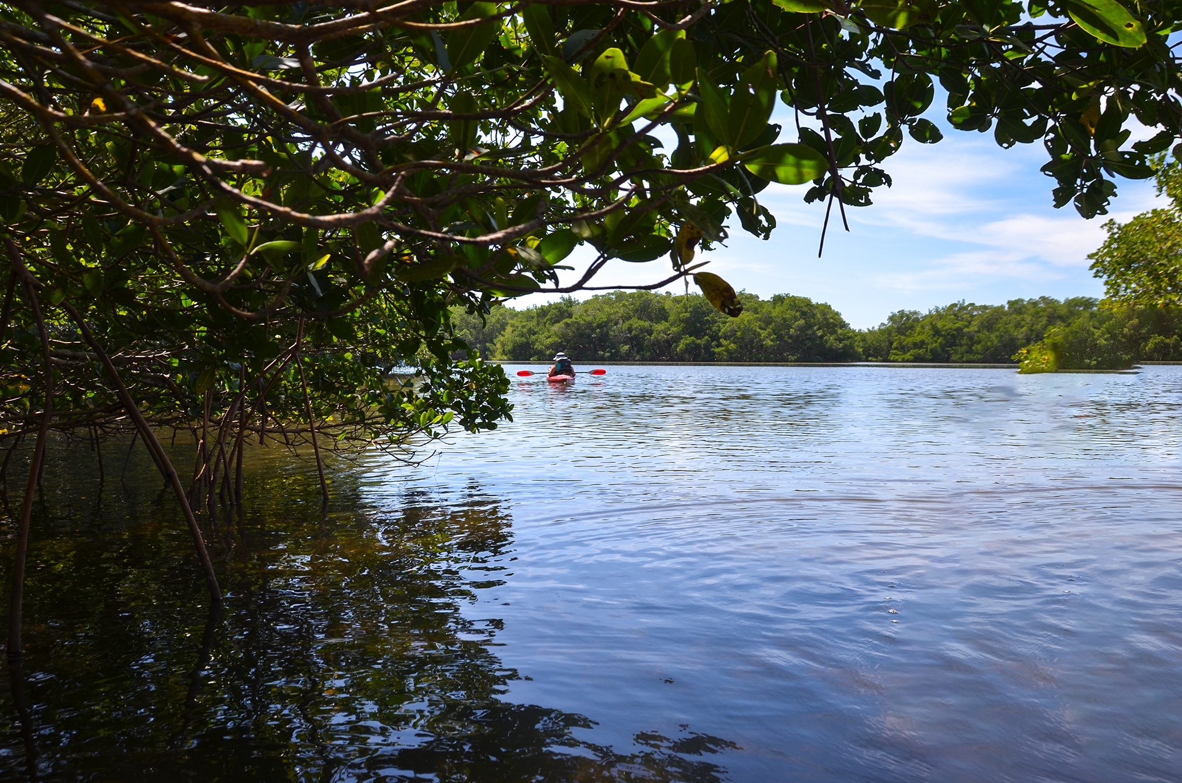
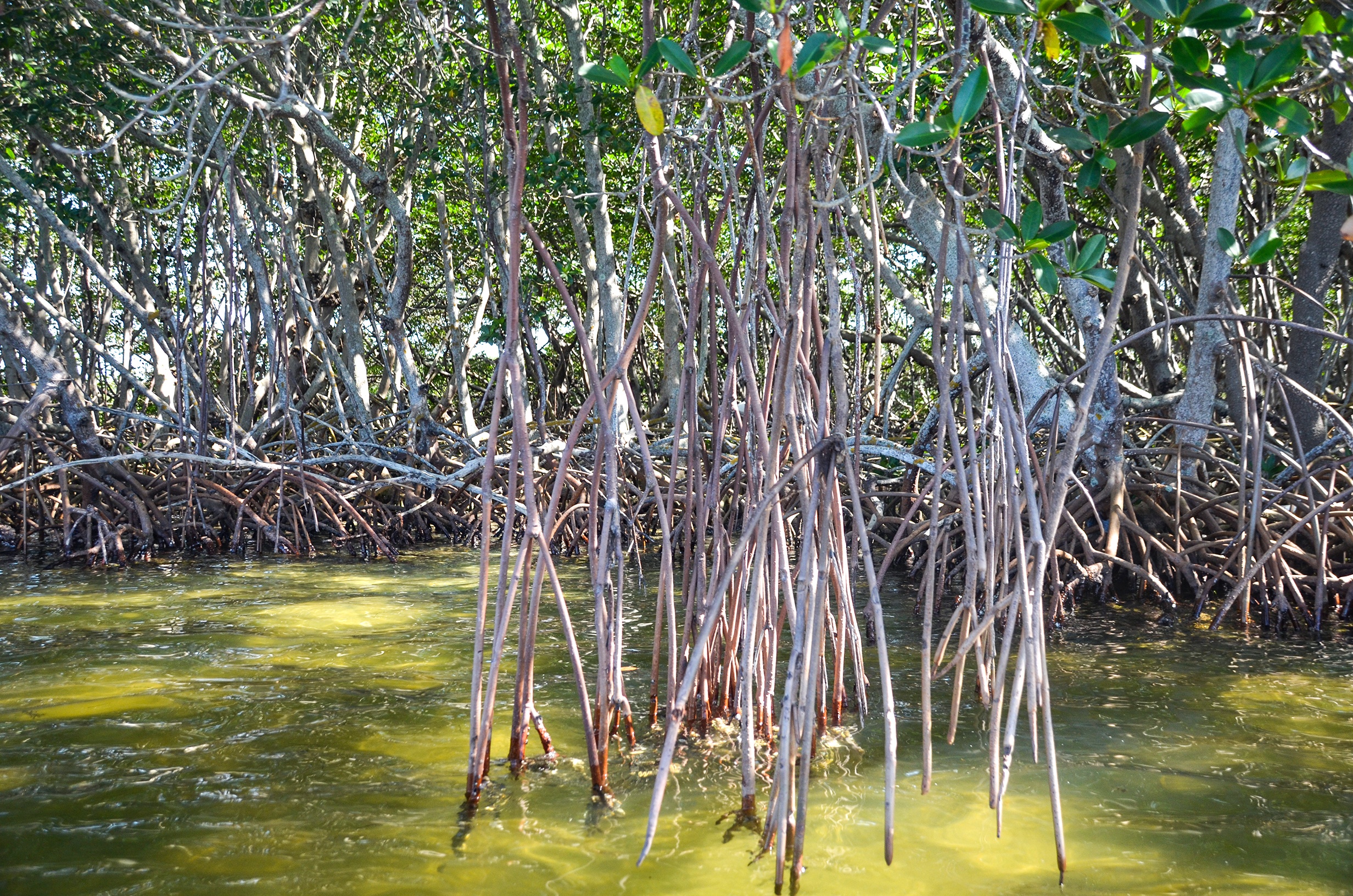
Immediately after launching, paddle to the left, ( southeast ) a little over 300′ before making another left around some mangroves. Continue ahead and Marker #1 alerts that you are on the Cockroach Bay Aquatic Preserve – Horseshoe Run. This is your first mangrove tunnel and is about 275′ long, well canopied.
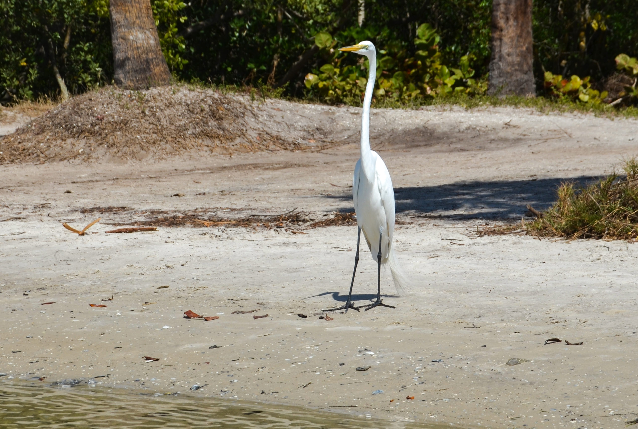
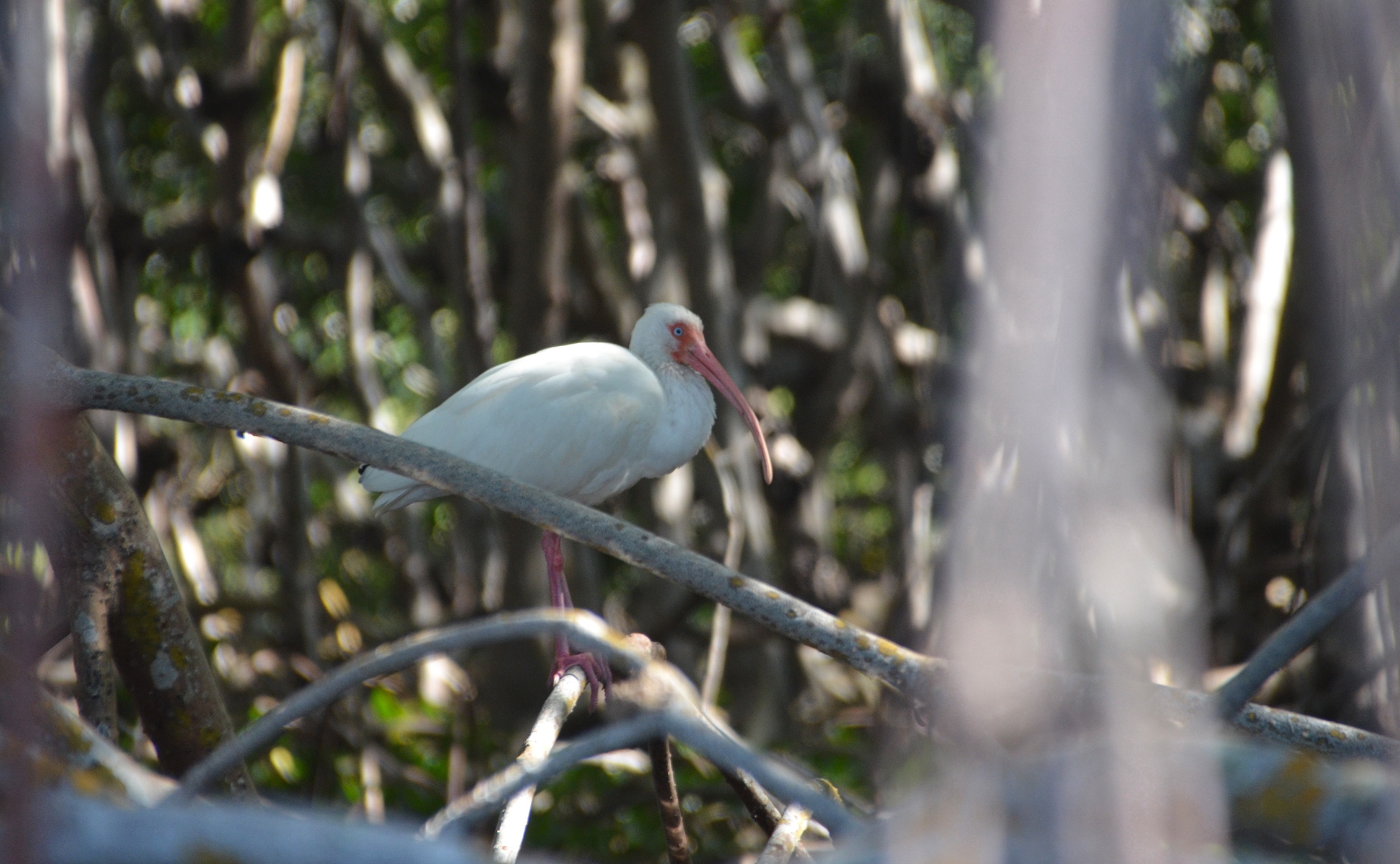
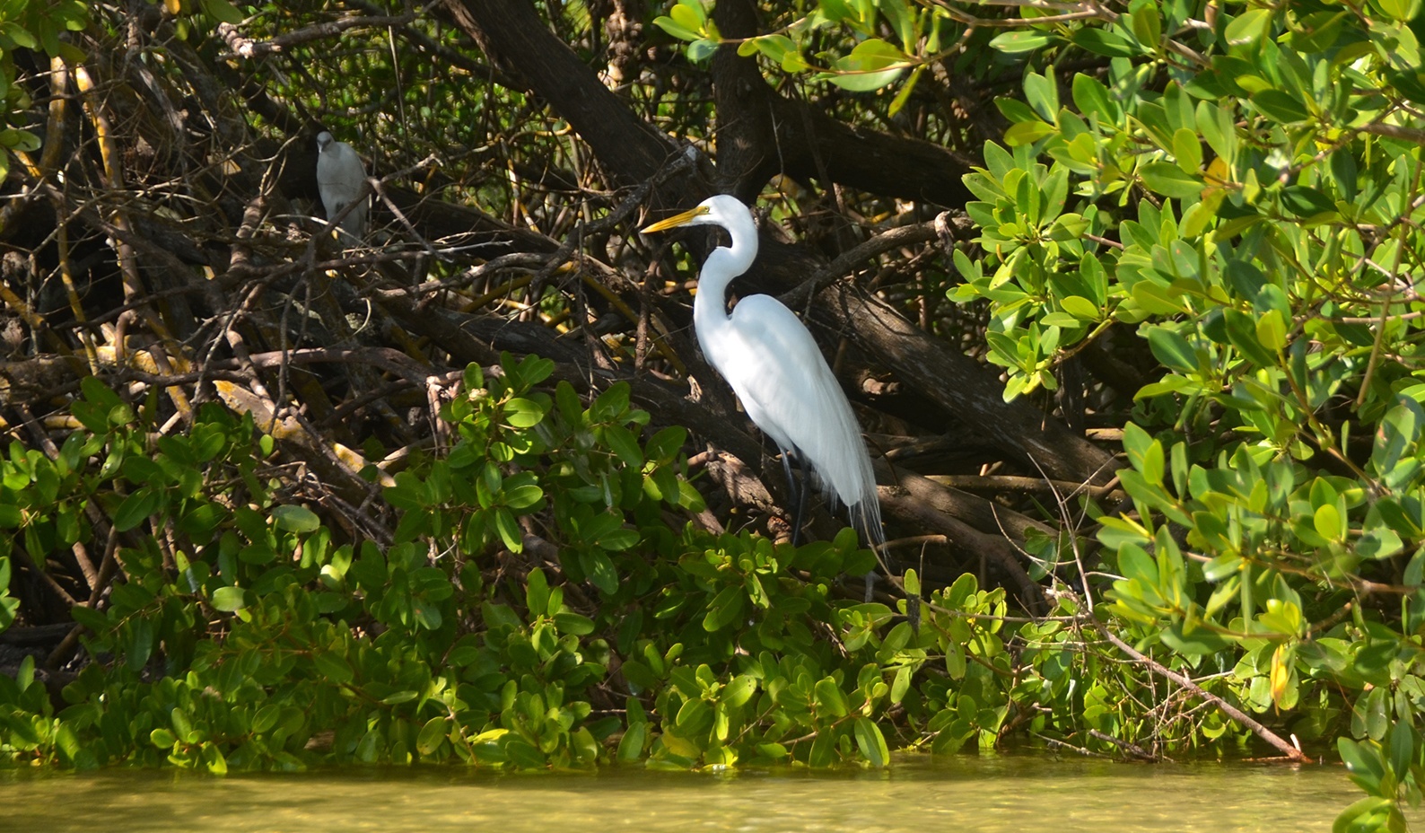
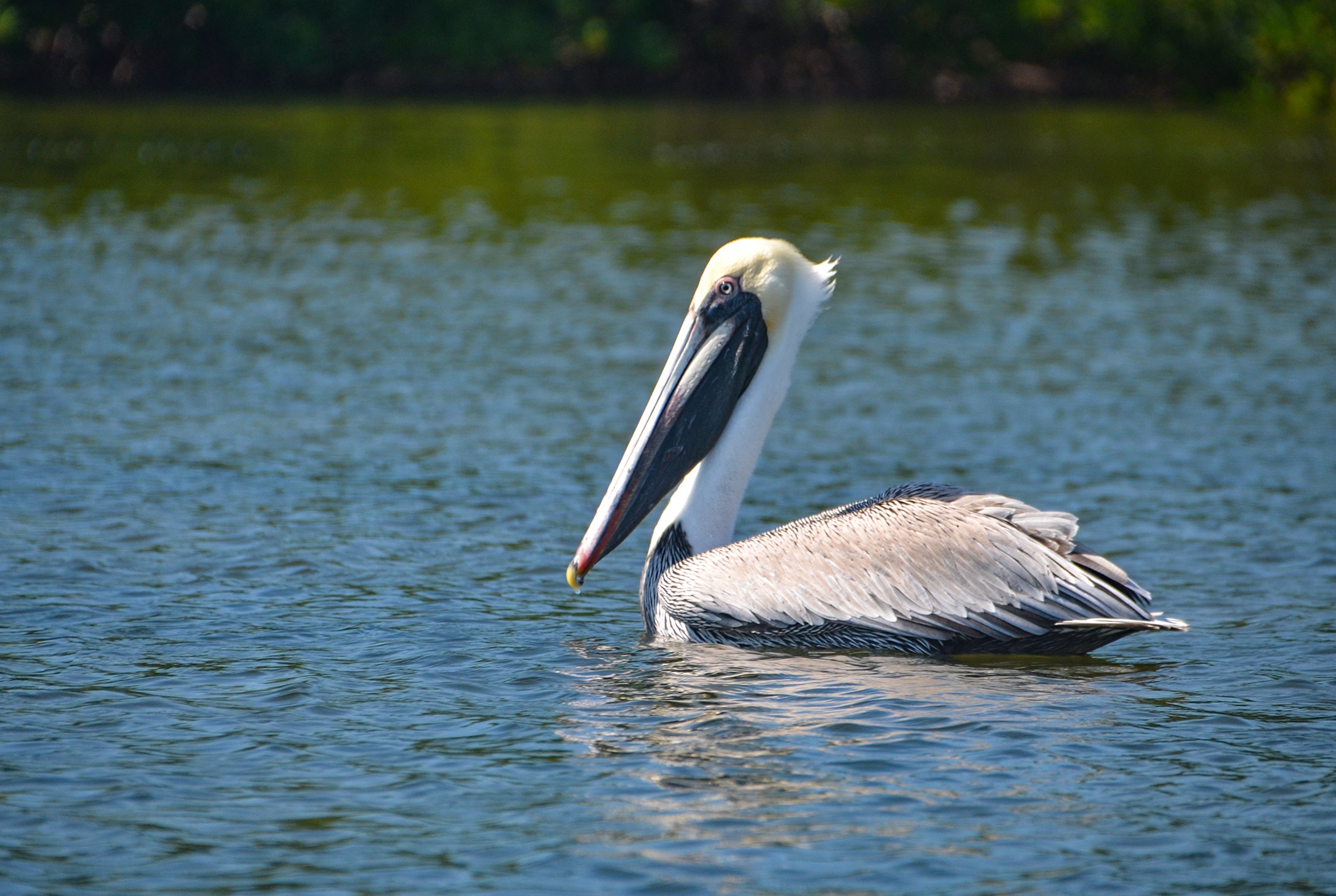
The temptation may be to continue ahead through the mangroves, however once in the open, at Marker #2, it is time to turn to the right ( South ) and paddle on. The opening closes soon and Marker #3 becomes evident. While this is an excellent birding paddle, today exposed only a few White Heron and Ibis.
The continuing paddling is not very eventful as it is now mostly navigating around mangroves, rather than tunneling through them. Finding Marker #9 is tricky as the actual square, informative part of the sign is missing, leaving a single pole. We could not simply assume this was #9 at first, as we have seen several white poles, with no particular significance, along the route. We paddled forward and were right on course, finding Marker#10. Continuing on through Marker #12 we knew then we needed to turn in a northerly direction, which lead us to the next markers.
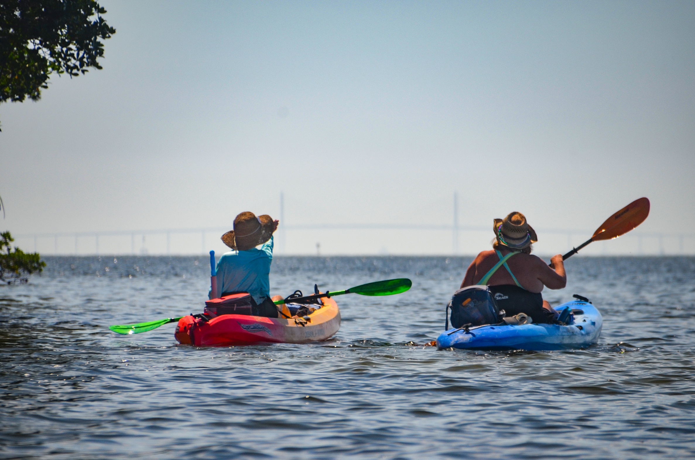
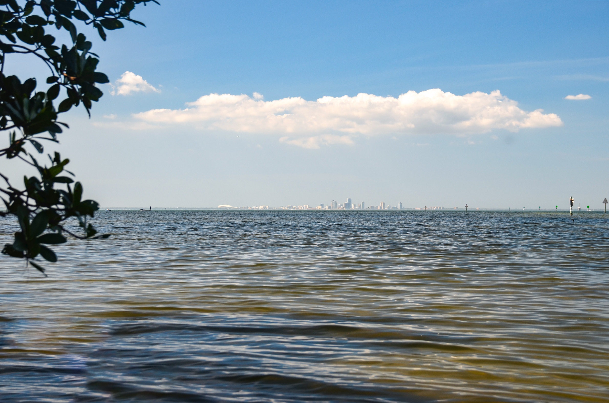
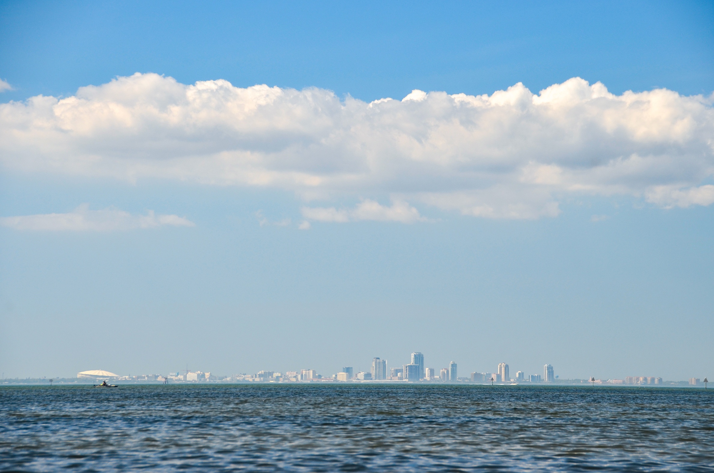
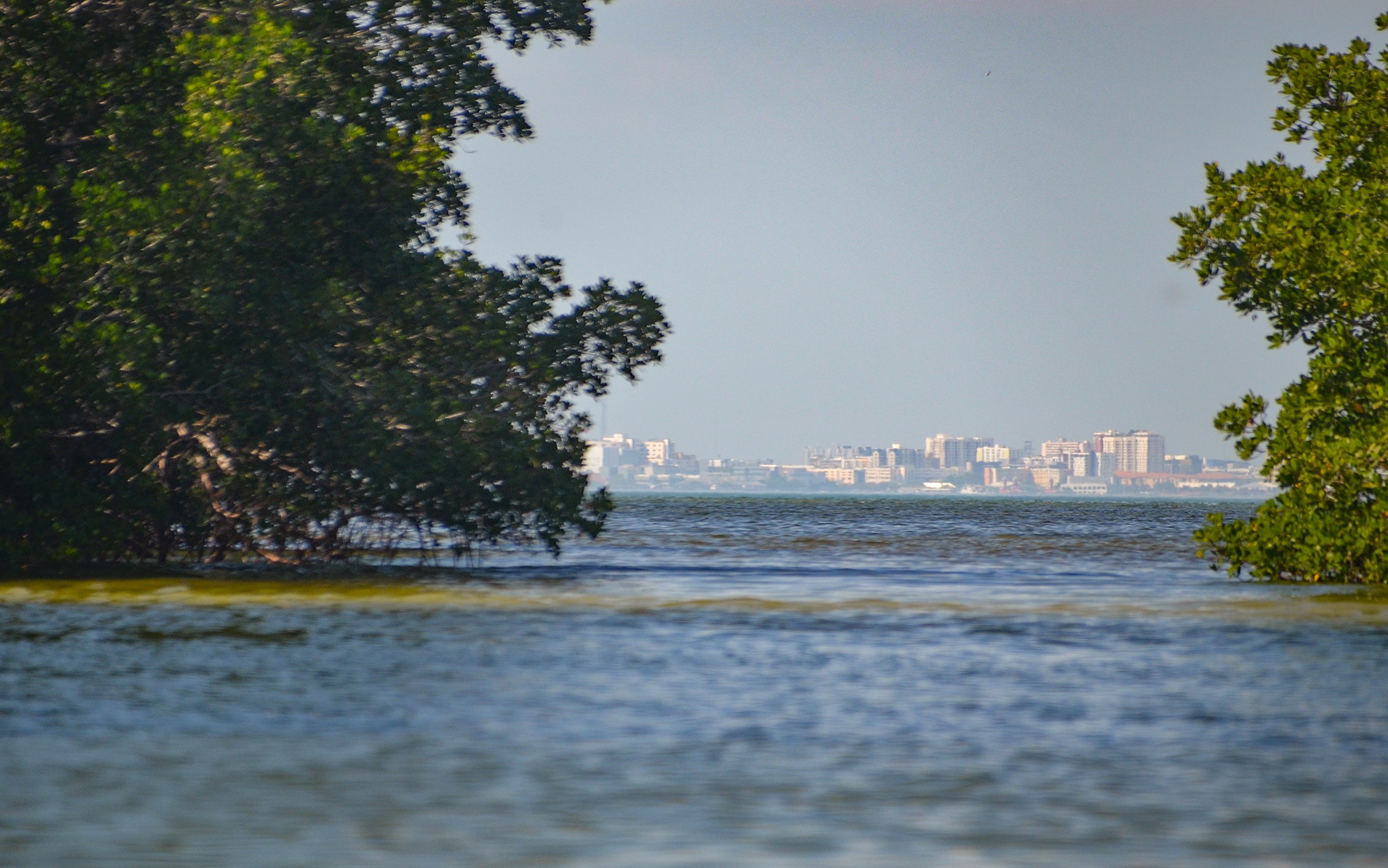
On our left, just before Marker #14, at 2.5 miles is Snake Key. Here, we pulled into a small opening to find an elevated, sandy, canopied area that showed signs of a camp fire. On the tree was a brass plaque memorial to Lucy Bender who died in her thirties. Paddling around the north end of Snake Key and heading west offers some scenic views of the St. Petersburg skyline as well as a faint Sunshine Skyway Bridge in the distance.
We rested briefly here under the mangroves and headed on the last stretch back to the boat ramp. Did not see any ‘Cockroaches’ ( Horseshoe Crabs ) or many mangrove ‘tunnels’, however any day as pretty as this on the salt water is a good day! This weekend had two more new paddles, The Alafia River and Little Manatee River…those posts will be following soon!
Guides, Maps & Info…
- Cockroach Bay Topo Map…
- Cockroach Bay Tide Charts…
- Cockroach Bay Aquatic Preserve…
- Cockroach Bay Preserve State Park…
- Cockroach Bay Boat Ramp…
- Cockroach Bay Paddle Guide…
- Canoe Outpost. Little Manatee River…
![]()