
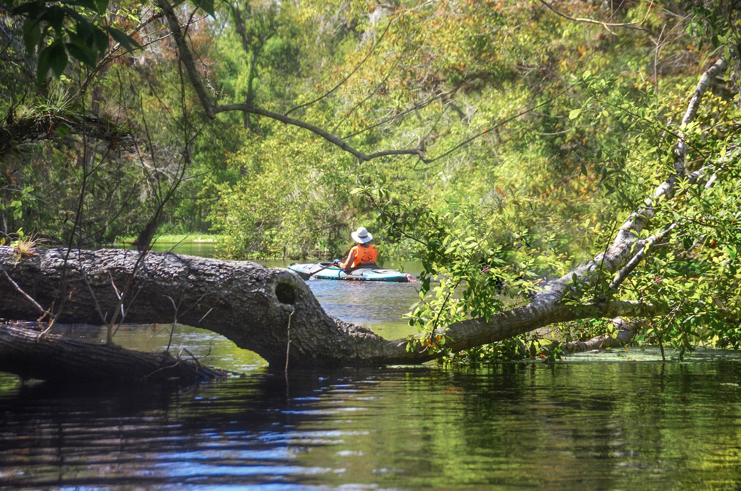
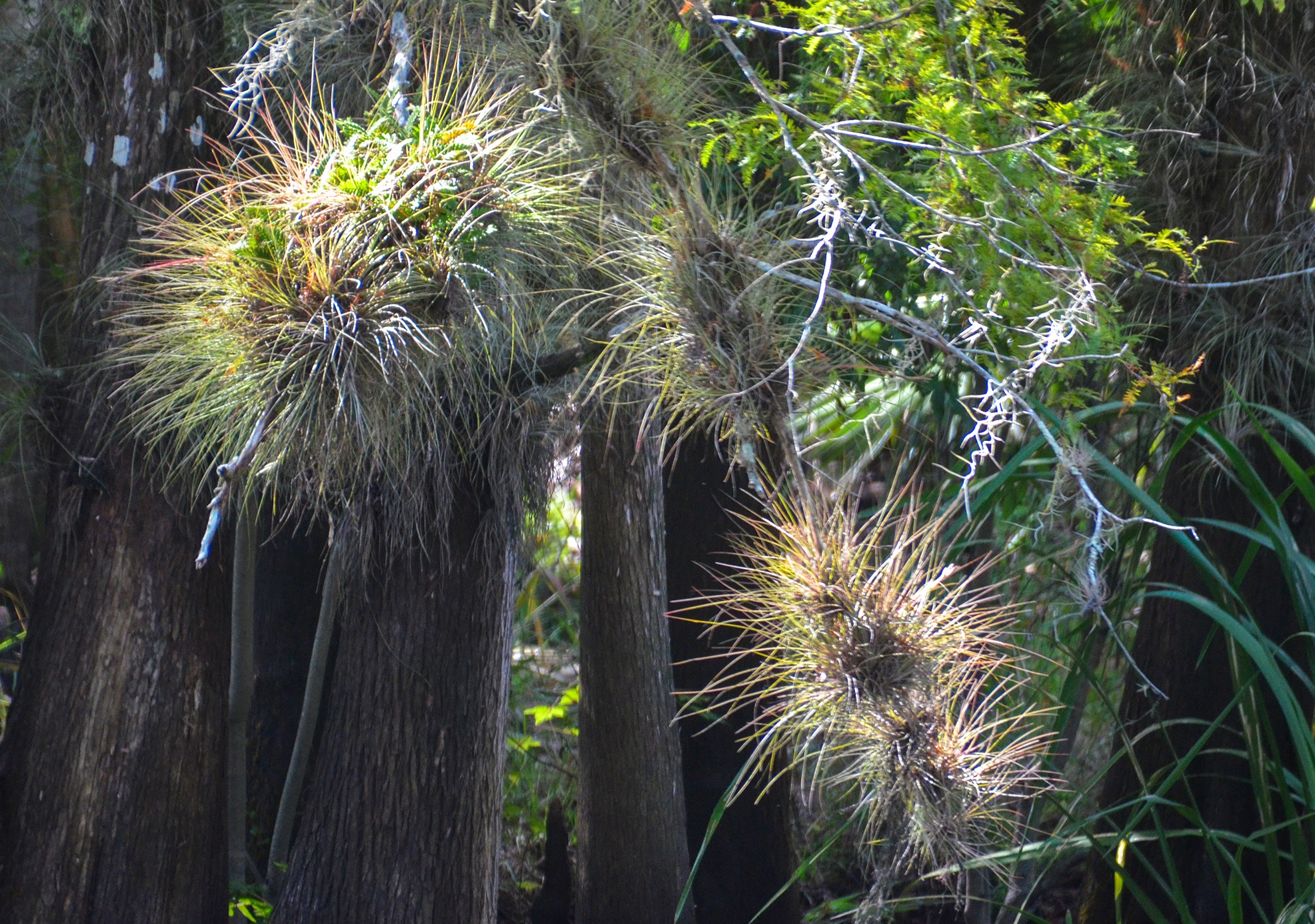
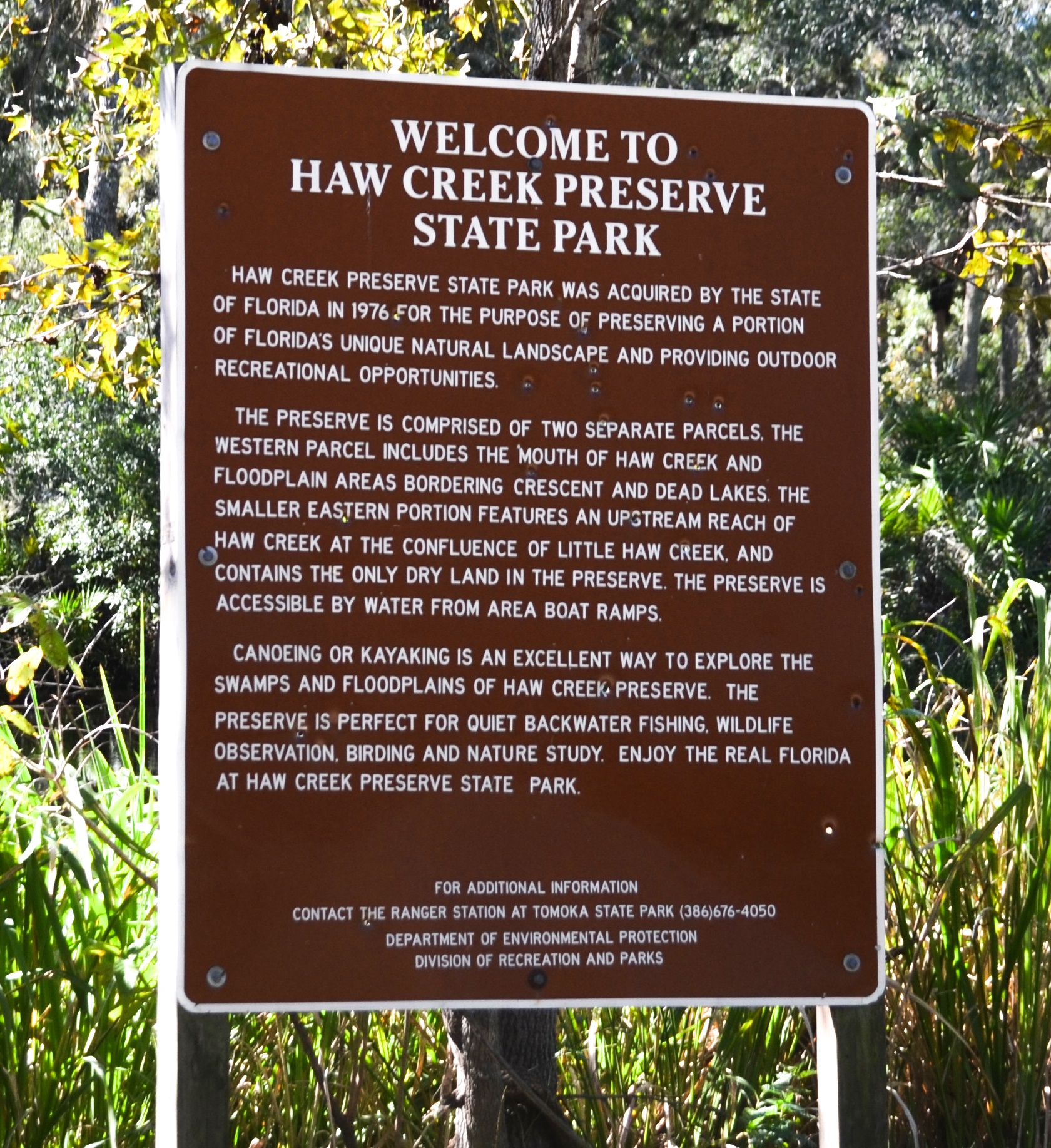
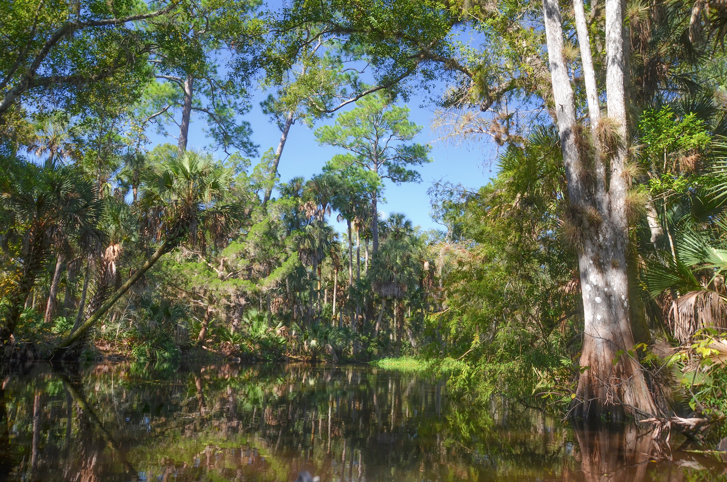
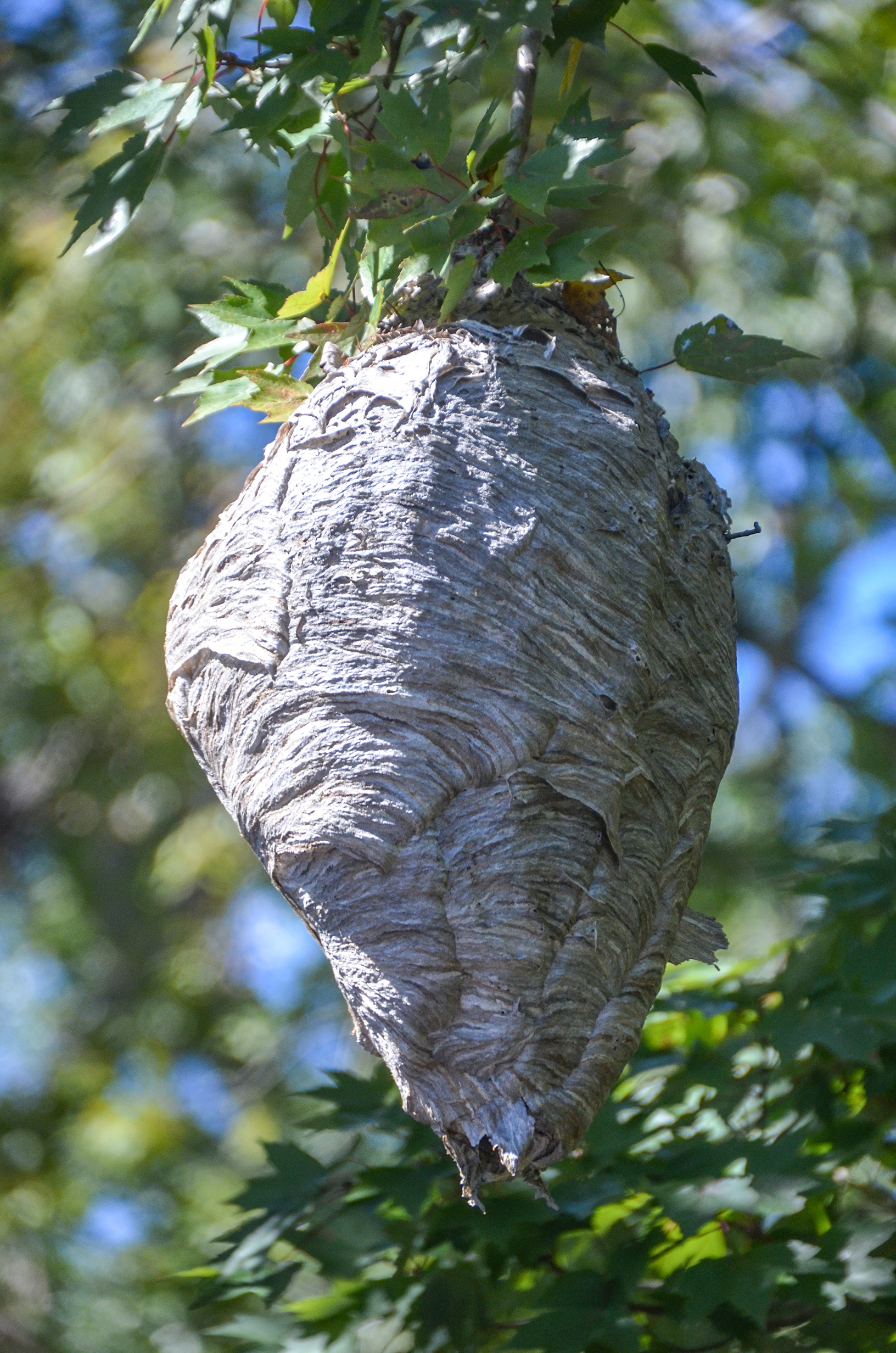
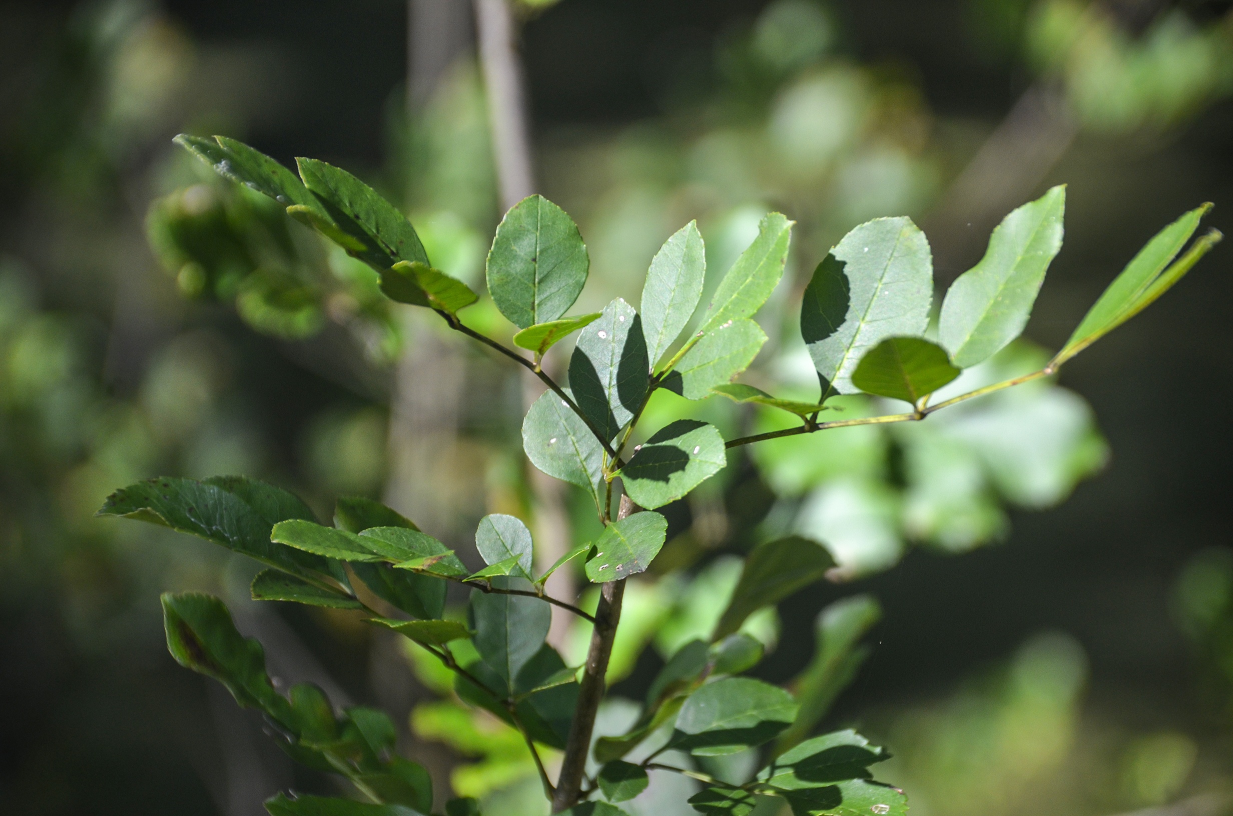
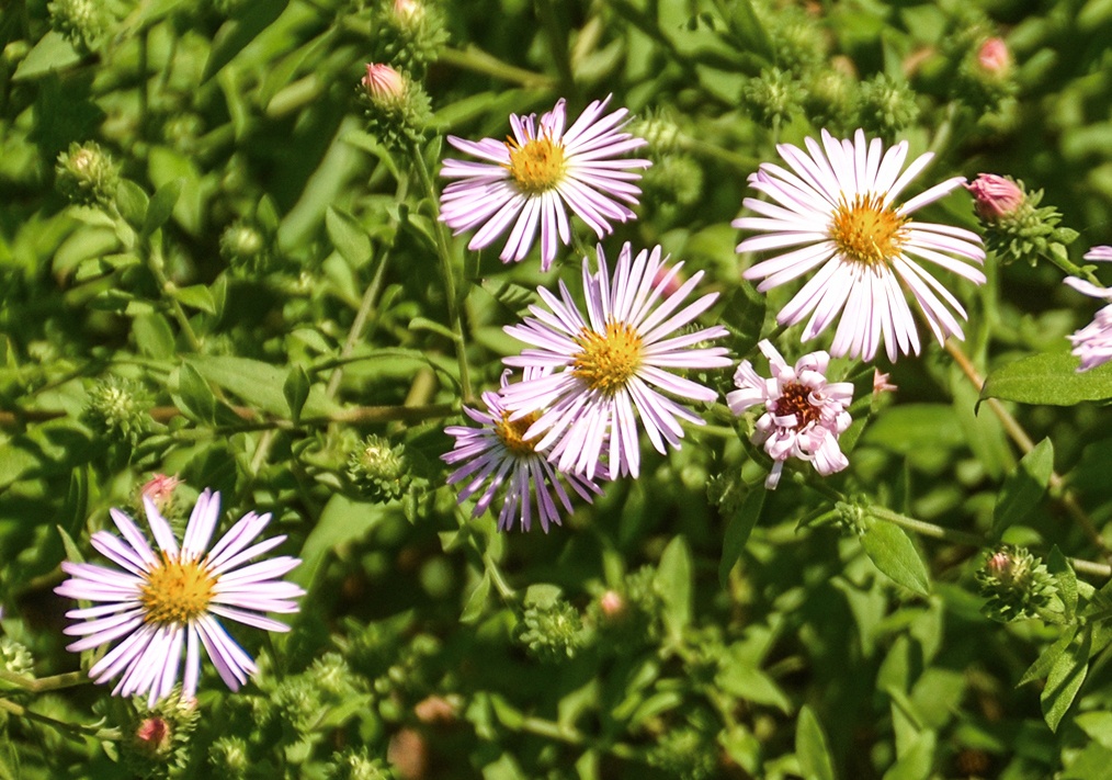
A new adventure for Florida Paddle Notes…Haw Creek. The creek originates in swampland roughly 13.5 miles West of Ormond Beach, flows North for 9 miles before heading westward to our launch at Russell Landing. Most noticeable on this paddle was the diversity of trees along the creek. Hollies, Palms, Ash, Willows, Cypress, Pines, Tupelo, Maples, Wax Myrtle, Gum,Oaks and of course, several species of the Crataegus species ( Rosacea family, a Hawthorne, hence the name Haw Creek ) family provided a lush semi-tropical journey into wilderness Florida. Along the way, trees are adorned with several species of Tillandsia species.
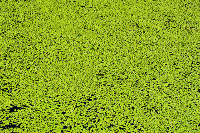
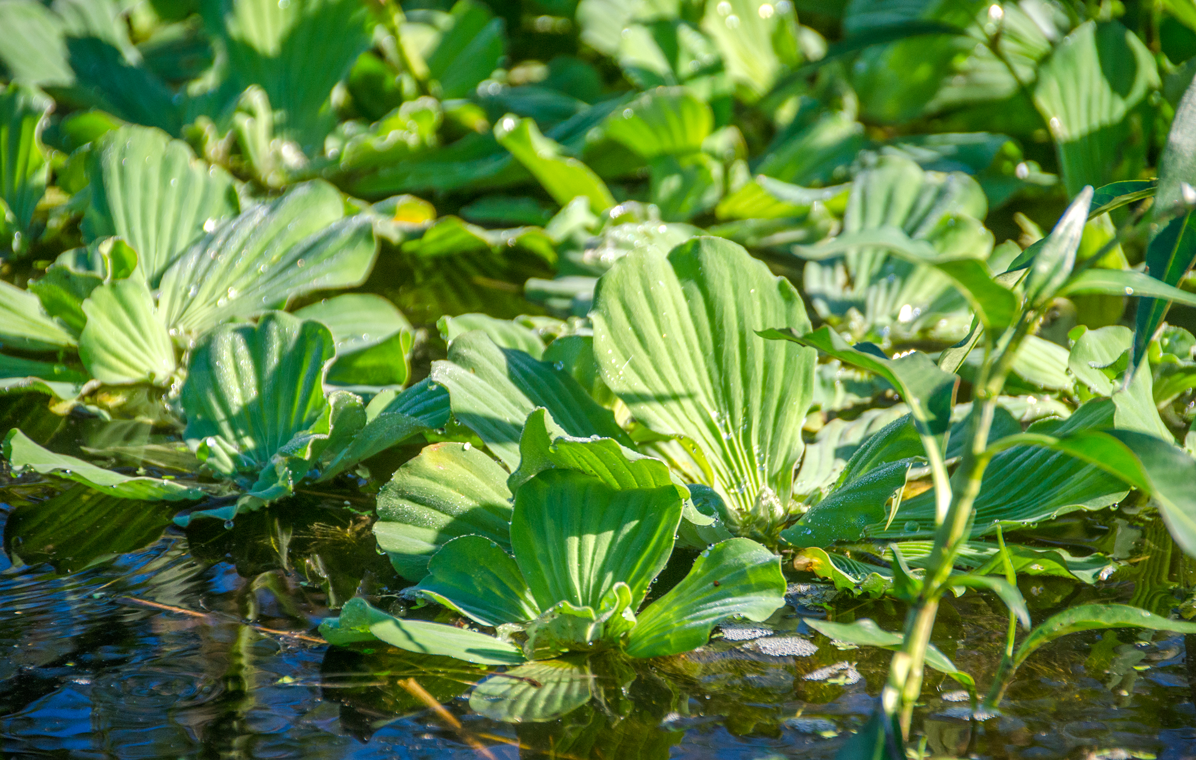
Several clogs were challenging…some 100′ long, where thick mats of Duckweed, bordered by Water Lettuce and Dollar Weed, provided several opportunities for workout time in the warm Fall weather!
We were met at the confluence of Haw Creek, Crescent Lake and the Dead Lake with strong winds and very choppy water that kept us alert and called for all our reserve energy to paddle forward the last mile to Bull Creek Fish Camp for some cold beer and authentic Florida cuisine. Florida Paddle Notes will be back! …James
![]()
Haw Creek Paddle Map…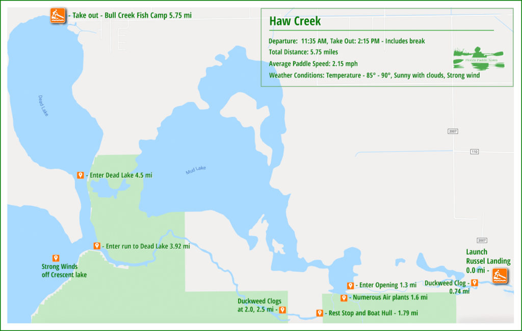

Haw Creek Details:
![]() Location: The creek is located in Flagler County. The source begins 13.5 miles East of Ormond Beach and flows north and northeast to Russell Landing, In Haw Creek Preserve. It then flows about 4.4 miles further flowing into Dead Lake, which has a very interesting history!
Location: The creek is located in Flagler County. The source begins 13.5 miles East of Ormond Beach and flows north and northeast to Russell Landing, In Haw Creek Preserve. It then flows about 4.4 miles further flowing into Dead Lake, which has a very interesting history!
![]() Launch point(s): The launch for this paddle s Russell Landing Boat Ramp, 2007 County Road 2007, Bunnell.
Launch point(s): The launch for this paddle s Russell Landing Boat Ramp, 2007 County Road 2007, Bunnell.
![]() Paddle Distance: 5.75 miles
Paddle Distance: 5.75 miles
![]() Difficulty: Easy…unless the winds are strong coming off Crescent Lake. The the last mile is a good workout if you are fighting the winds and the waves.
Difficulty: Easy…unless the winds are strong coming off Crescent Lake. The the last mile is a good workout if you are fighting the winds and the waves.
 Average Paddle Speed: 2.15 mph.
![]() Width and Depth: The width is from 75′ at Russell Landing to – 175′ where it reaches Crescent Lake and the Dead Lake. Based on the gauge at Russel’s Landing the depth was 3.52′ which is on the high side due to the recent rain.
Width and Depth: The width is from 75′ at Russell Landing to – 175′ where it reaches Crescent Lake and the Dead Lake. Based on the gauge at Russel’s Landing the depth was 3.52′ which is on the high side due to the recent rain.
![]() Current – Tidal: The current is very minimal flowing toward Dead Lake.
Current – Tidal: The current is very minimal flowing toward Dead Lake.
![]() Side Paddles: NA
Side Paddles: NA
![]() Rest Areas: Restrooms available at the launch at Russel Landing and at the end at Bull Creek Fish Camp.
Rest Areas: Restrooms available at the launch at Russel Landing and at the end at Bull Creek Fish Camp.
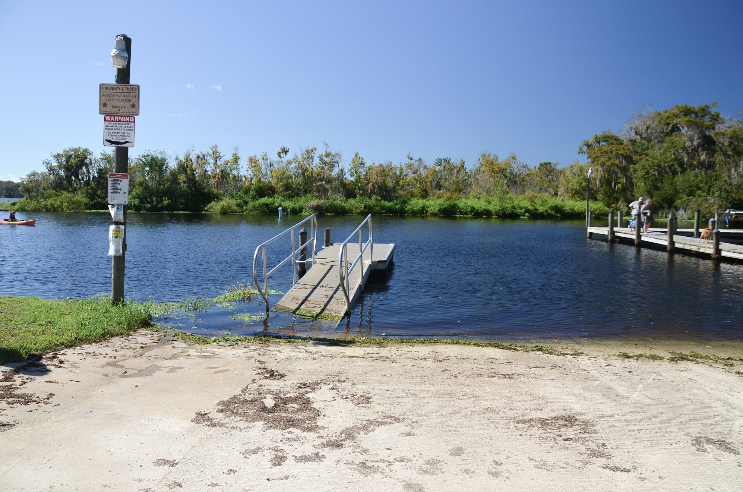
Russell Landing Launch:
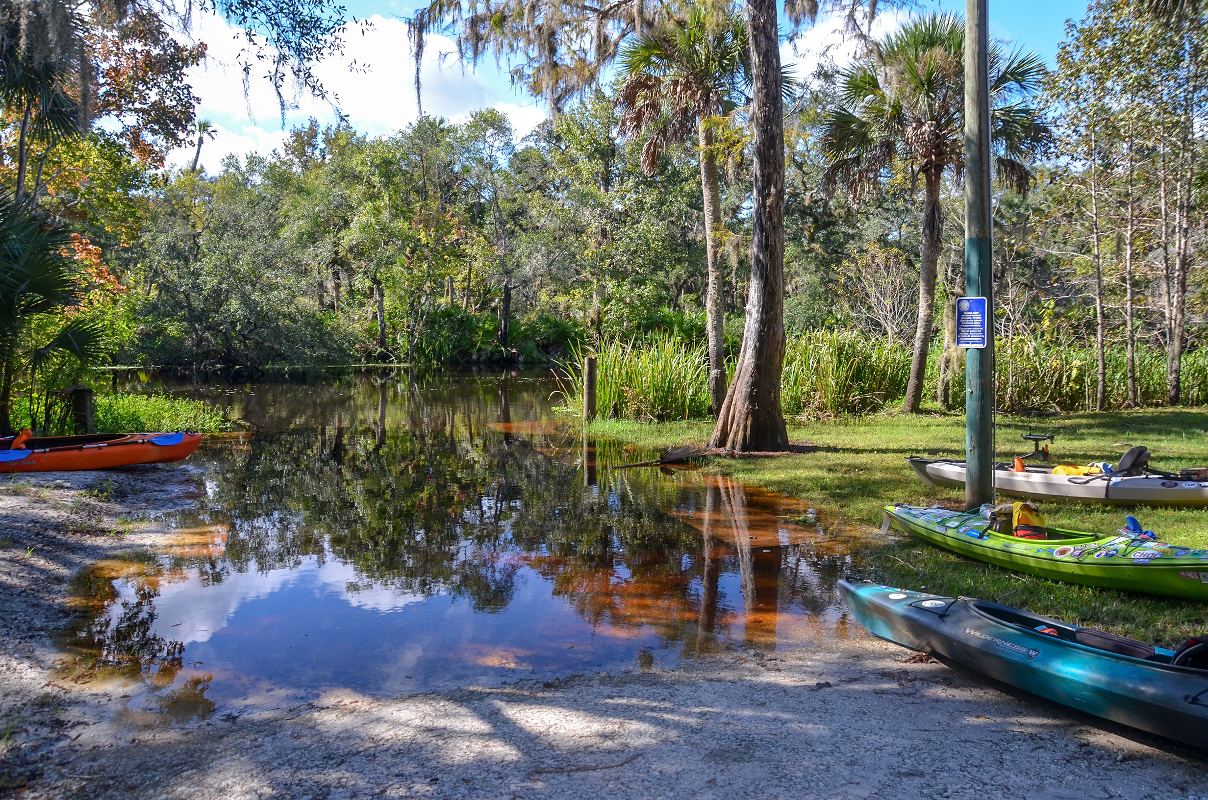
Russell Landing Launch is in the Haw Creek State Preserve. It is a nice launch, plenty of parking and has nice restroom facilities. There is a boardwalk that takes you a 1/2 mile into the forested swamp, having several side ‘spokes’ providing views of the creek.
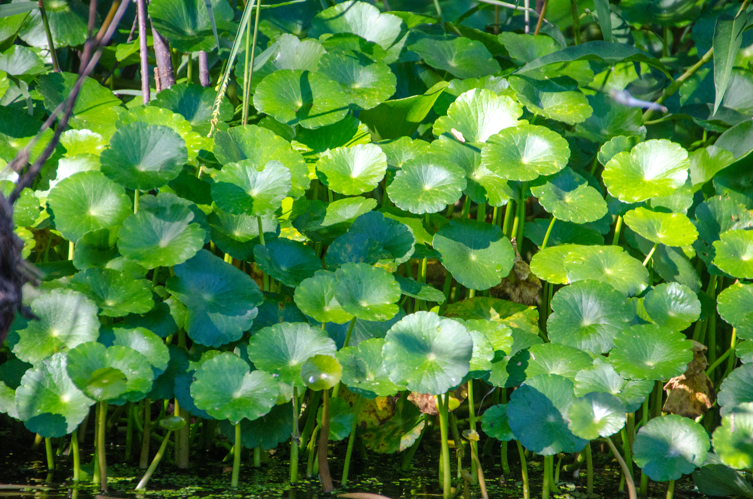
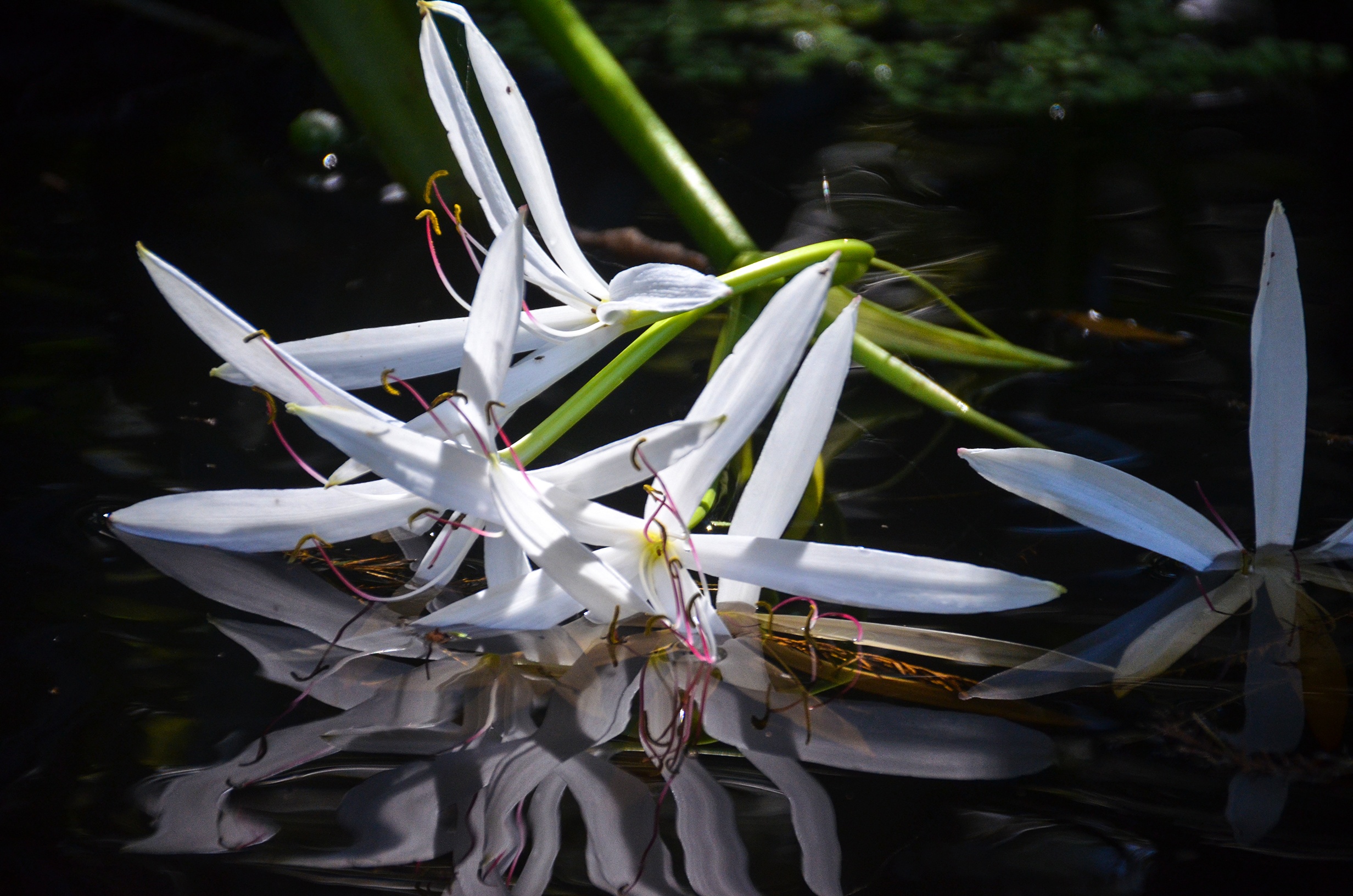
Duckweed, Dollar Weed and Water Lettuce:
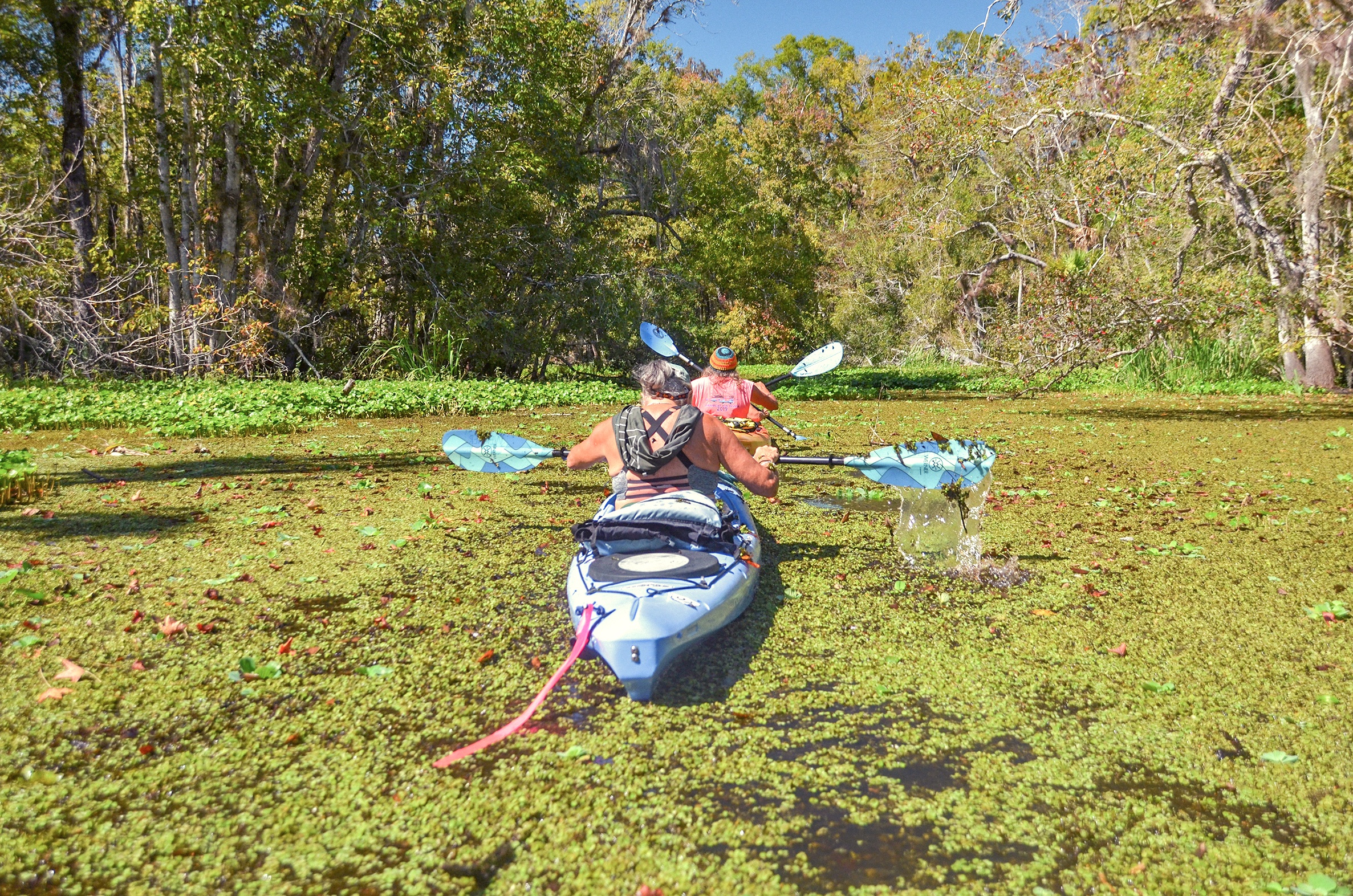
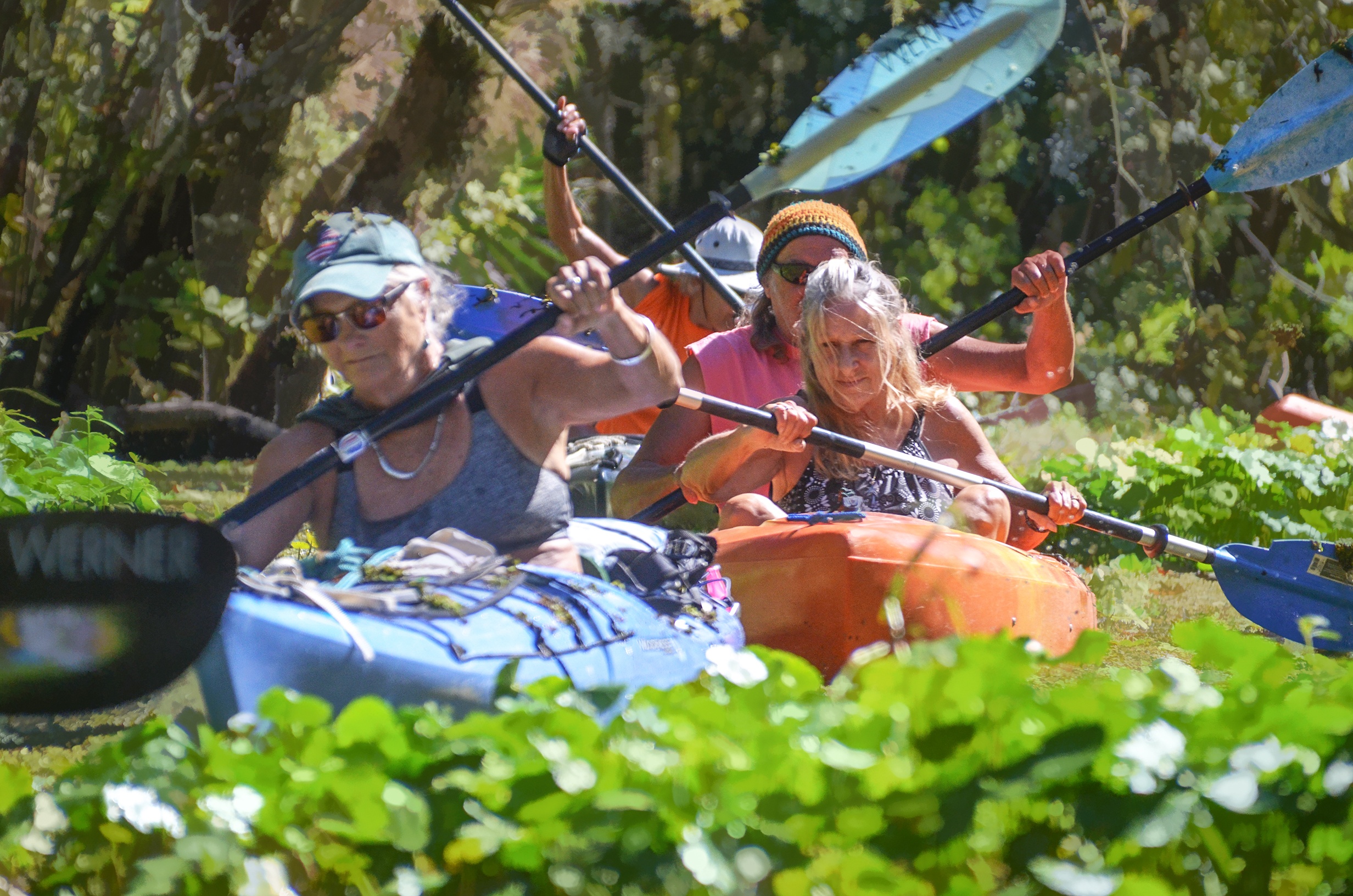
Planning the paddle with Google Earth, I noticed several vegetative clogs of Duckweed, Dollarweed and Water Lettuce on the satellite view. These three aquatic plants, common throughout Florida waterways created several clogs along our paddle. At 0.73 miles we reached the first of several. This was a 75′ to 100′ stretch of matted Duckweed, bordered with Dollar Weed and Water Lettuce. The mass was dense and required quite a bit of paddle power to get through. We encountered several other clogs, at 0.82 mi, a.42 mi, 2,00 mi and 2.50 miles, only two of these created a challenge, the others, easily passed through.
Haw Creek:
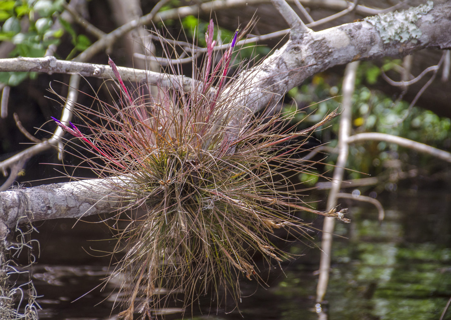
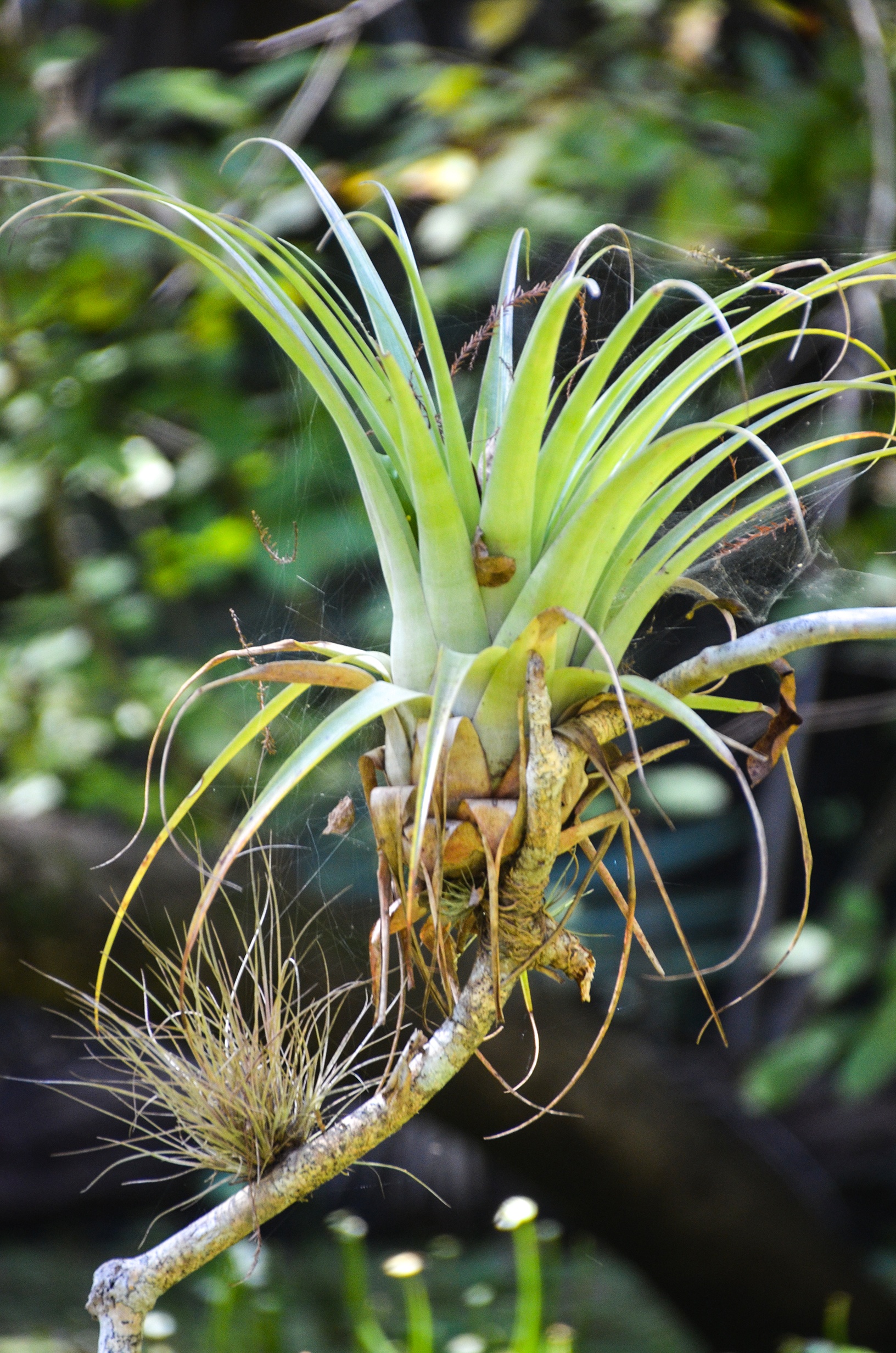
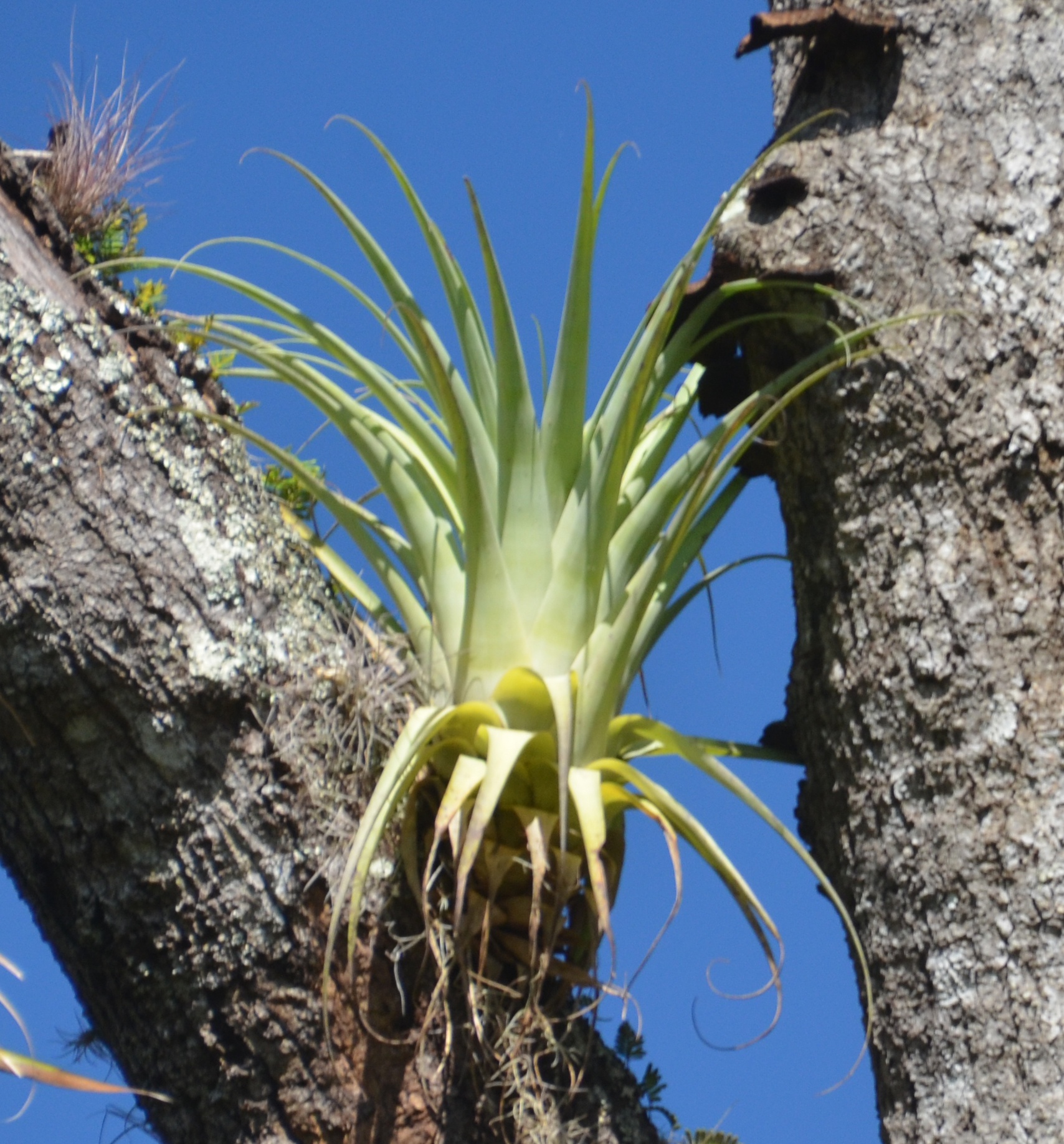
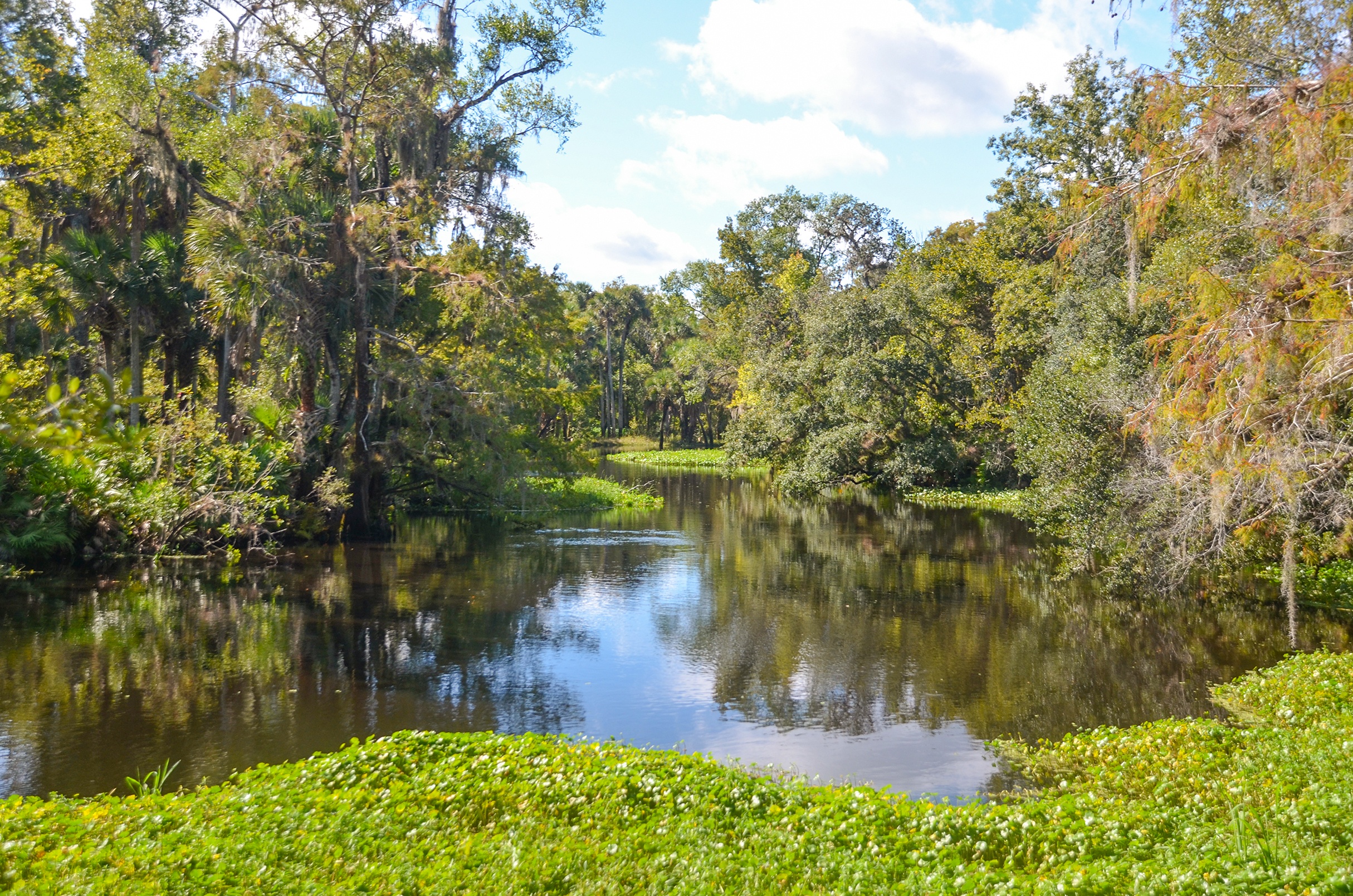
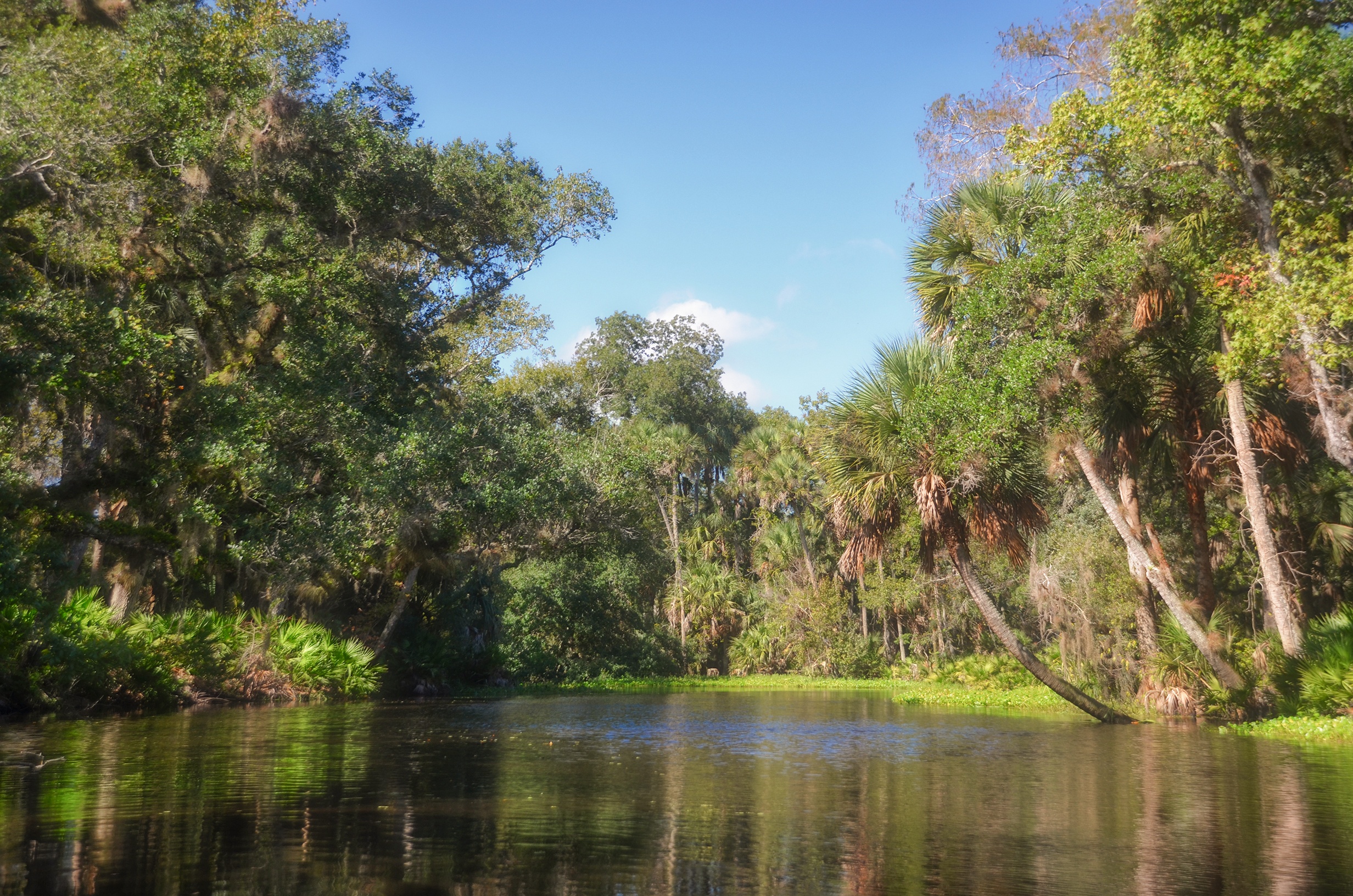
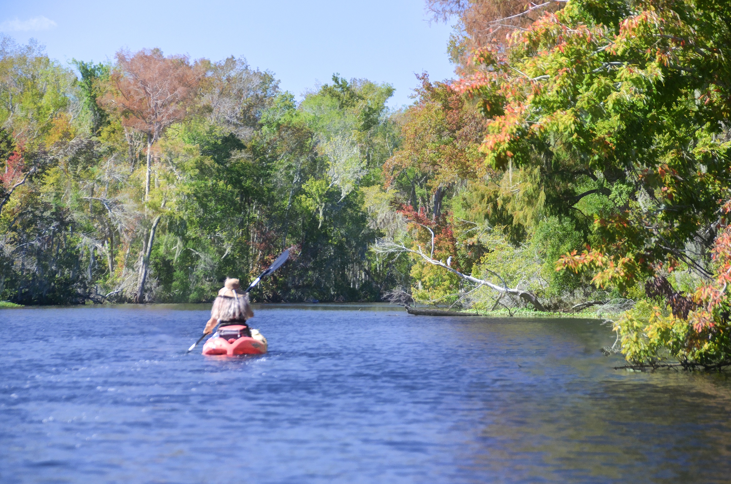
A very pleasant paddle! Haw Creek offers up peaceful flow through forested wetland swamp. Immediately noticeable are the several species of Tillandsia genus. The tree trunks are covered! One common species was Bartram’s Air Plant – Tillandsia bartrami. At mile 1.6 there were a noticeable increase in another species Tillandsia utriculata – Giant Air Plant, one of the largest species growing in Florida.
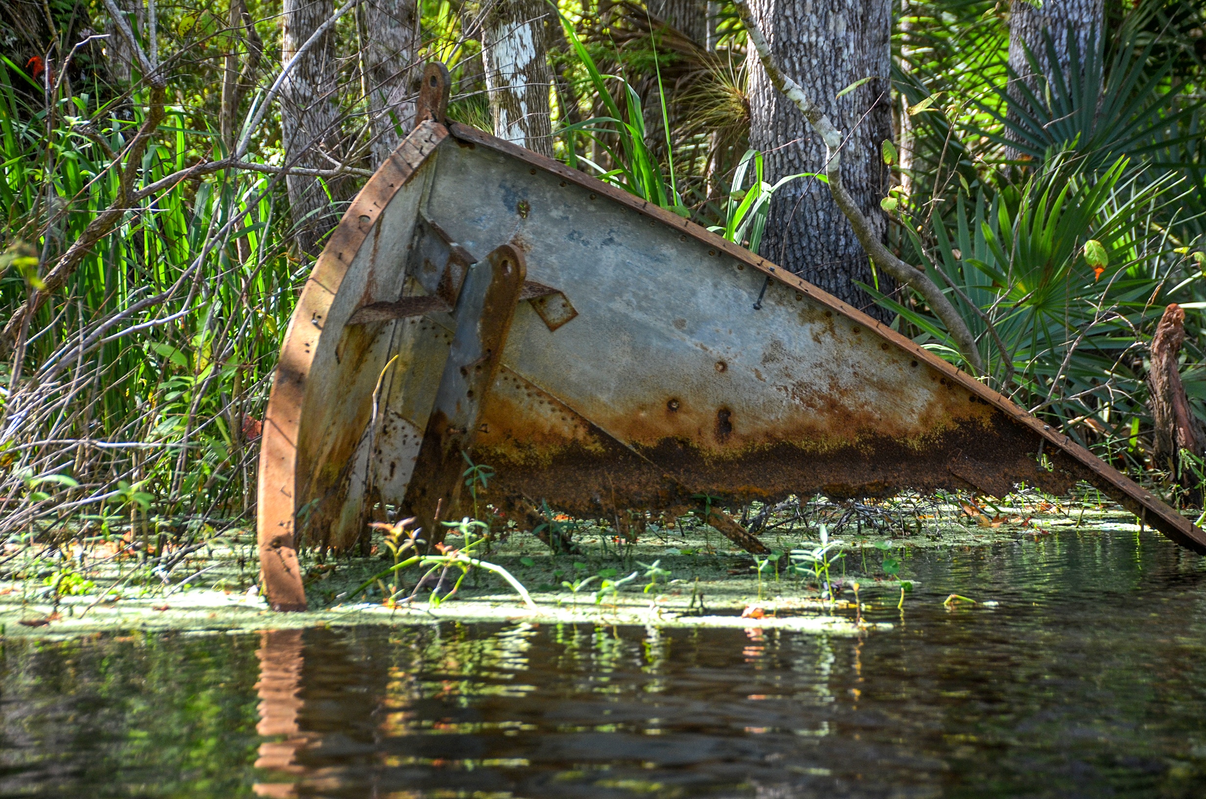
Mile 1.8 offers a nice sheltered canopy to stop for a rest or snack, albeit, remaining in the kayak. There is an old metal boat hull here and we prepared for the final leg of our trip which we knew would be a challenge!
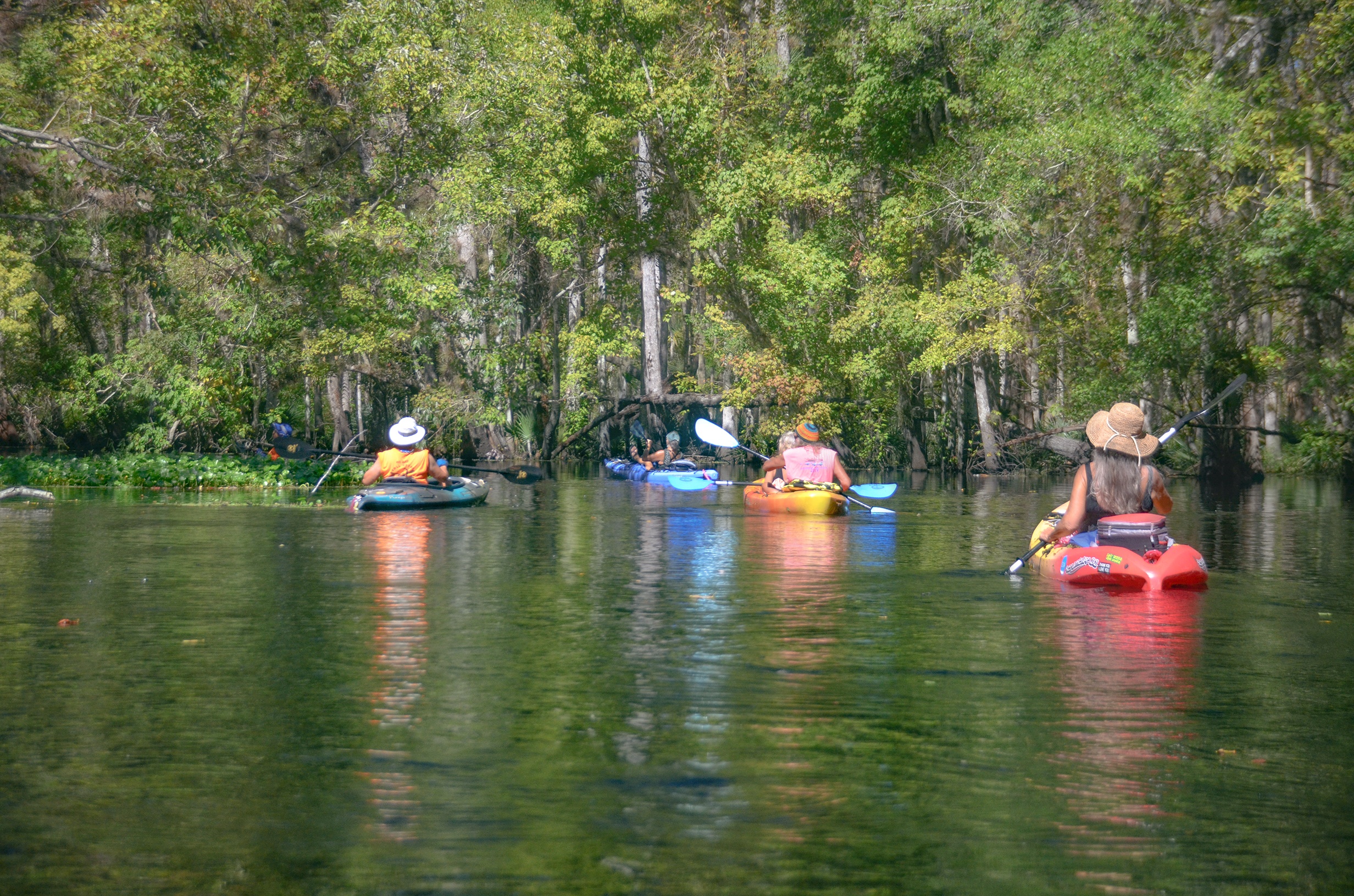
Against the Wind…
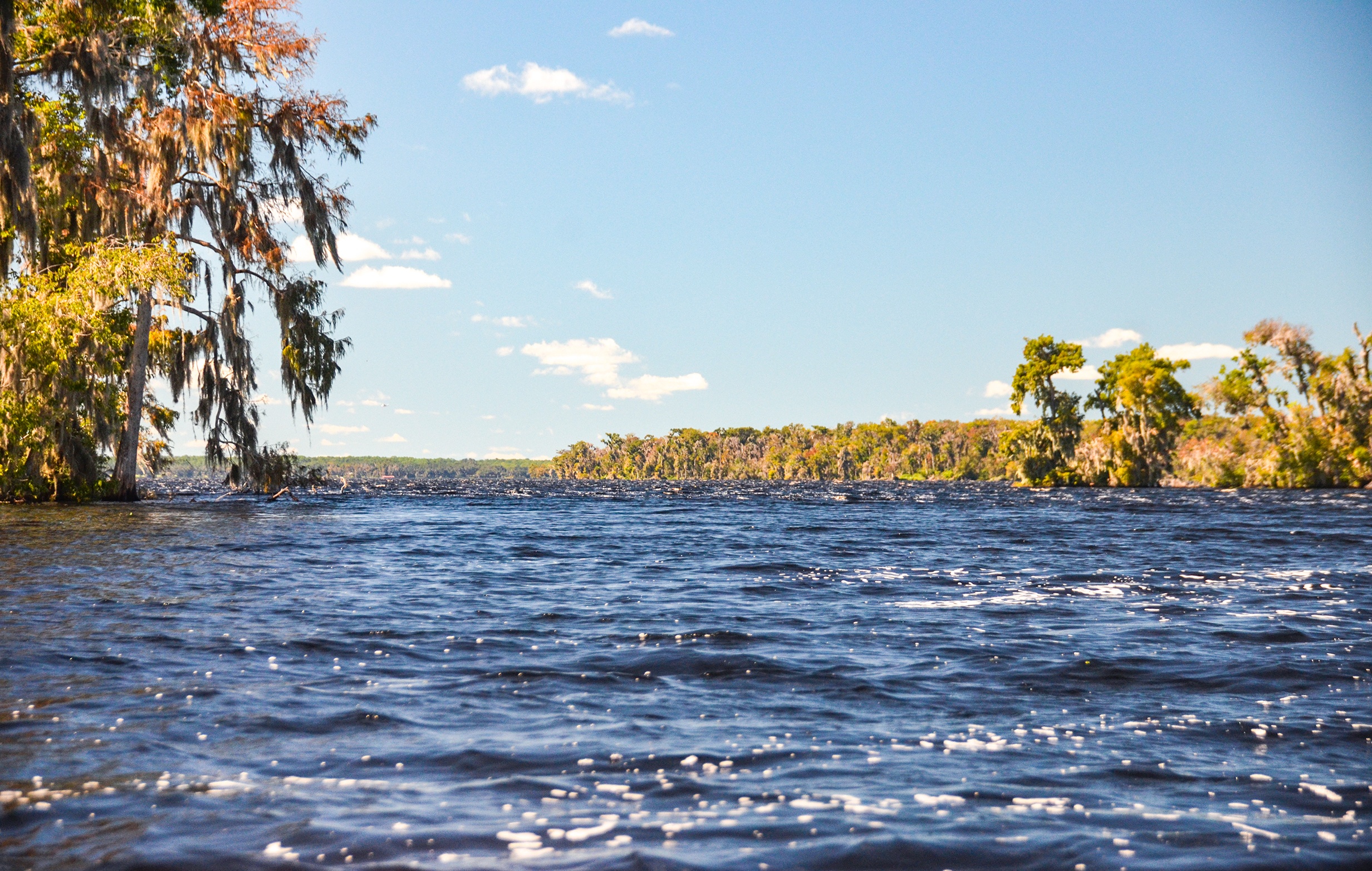
Sheltered from the wind for the first 4 miles, it was time for a rude awakening for our final 2 miles! Mile 3.92 brought us to the opening where the creek widened considerably and opened up. We were immediately confronted with a strong wind and white caps, generated by Crescent Lake to our left! It is a 3,000′ paddle to the entrance to Dead Lake , 1/3 of it dealing with the wind and waves. Once entering Dead Lake there remained 1.25 miles straight ahead, paddling against a wind and smaller waves. It was a workout for sure and we were glad to sit down in Bull Creek Fish Camp to enjoy a beer and food.
This was a nice paddle and a first for me. I enjoyed the challenges as well as the scenery and will definitely return on a less windy day!
Haw Creek Gallery:
Guides, Maps & Info…
- Haw Creek Topo Map…
- Haw Creek State Preserve…
- Paddling Haw Creek…
- Haw Creek Preserve at Russell Landing…
- USGS Water gauge at Russell Landing…
- Haw Creek History..
- Dead Lake History…
- Bull Creek Fish Camp…
![]()